Scotch Wood
Wood, Forest in Sussex Rother
England
Scotch Wood
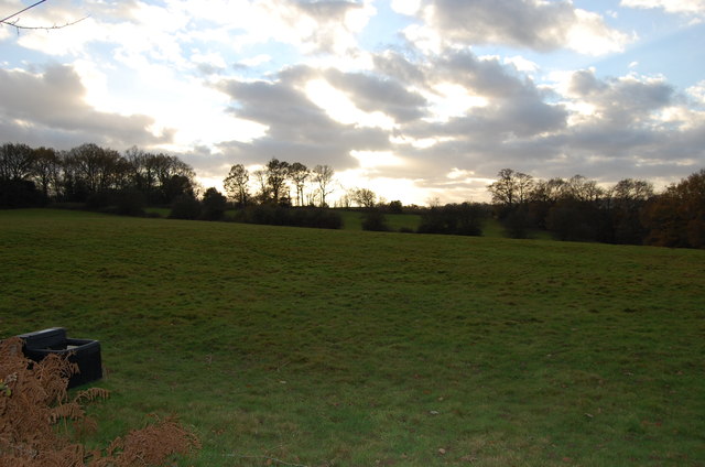
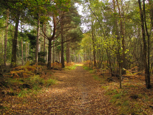
Scotch Wood is a picturesque forest located in the county of Sussex, in the southeast of England. Spanning an area of approximately 500 acres, it is renowned for its natural beauty and diverse ecosystem. The forest is nestled within the South Downs National Park, adding to its overall charm and appeal.
Scotch Wood boasts a rich history that dates back centuries. It was originally part of a larger woodland area that was extensively used for timber production during the medieval period. Today, remnants of old sawpits and charcoal platforms can still be found within the forest, serving as a reminder of its past importance in the timber industry.
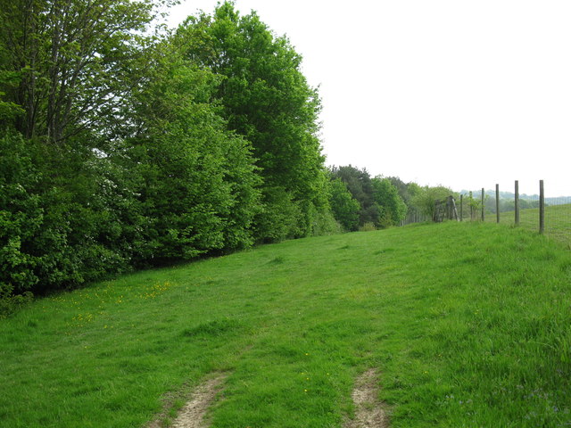
The woodland is primarily composed of a mix of deciduous and coniferous trees, creating a unique and harmonious environment. Ancient oak and beech trees dominate the landscape, providing a habitat for a wide range of flora and fauna. Visitors to Scotch Wood can expect to see an abundance of wildflowers, including bluebells, primroses, and foxgloves, during the spring and summer months.
The forest is a haven for wildlife enthusiasts and nature lovers alike. It is home to several rare and protected species, such as the nightjar and the silver-studded blue butterfly. Birdwatchers will also be delighted by the presence of woodpeckers, nuthatches, and various species of owls.
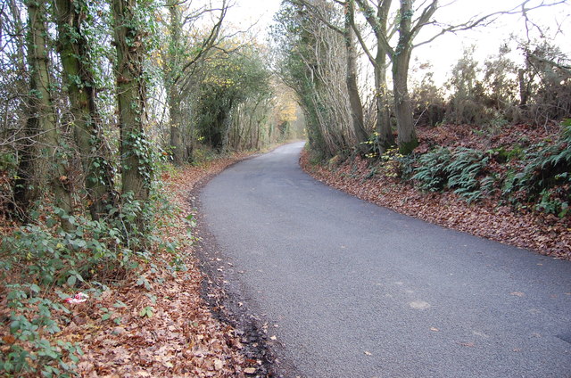
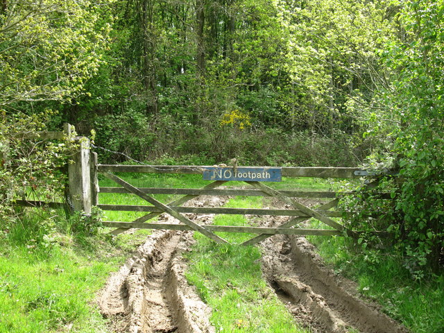
Scotch Wood offers a range of recreational activities for visitors to enjoy. There are well-maintained trails and paths that wind through the forest, perfect for walking, jogging, or cycling. The forest also has designated picnic areas, allowing visitors to relax and soak in the tranquil surroundings.
Overall, Scotch Wood is a captivating natural gem in Sussex, offering a serene escape from the hustle and bustle of everyday life. Its ancient trees, diverse wildlife, and idyllic setting make it a must-visit destination for nature enthusiasts and those seeking solace in the great outdoors.
If you have any feedback on the listing, please let us know in the comments section below.
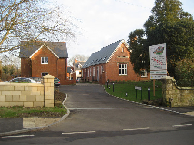
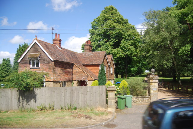
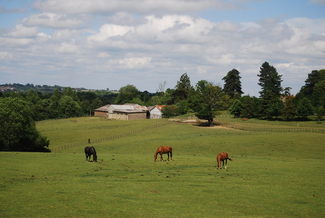
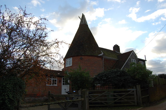
Scotch Wood Images
Images are sourced within 2km of 51.061685/0.40935224 or Grid Reference TQ6831. Thanks to Geograph Open Source API. All images are credited.
Scotch Wood is located at Grid Ref: TQ6831 (Lat: 51.061685, Lng: 0.40935224)
Administrative County: East Sussex
District: Rother
Police Authority: Sussex
What 3 Words
///clay.skirting.cold. Near Ticehurst, East Sussex
Nearby Locations
Related Wikis
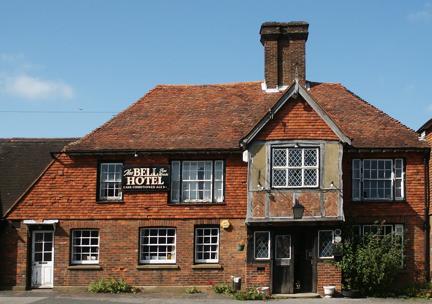
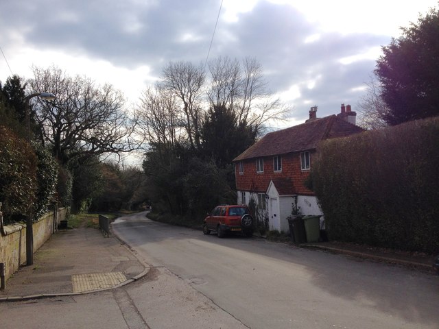
Ticehurst
Ticehurst is both a village and a large civil parish in the Rother district of East Sussex, England. The parish lies in the upper reaches of both the Bewl...

Bewl Water
Bewl Water is a reservoir in the valley of the River Bewl, straddling the boundary between Kent and East Sussex in England. It is about 2 miles (3.2 km...

Ticehurst House Hospital
Ticehurst House Hospital was a mental health facility. It opened in 1792 and was owned and run by five generations of members of the Newington family until...
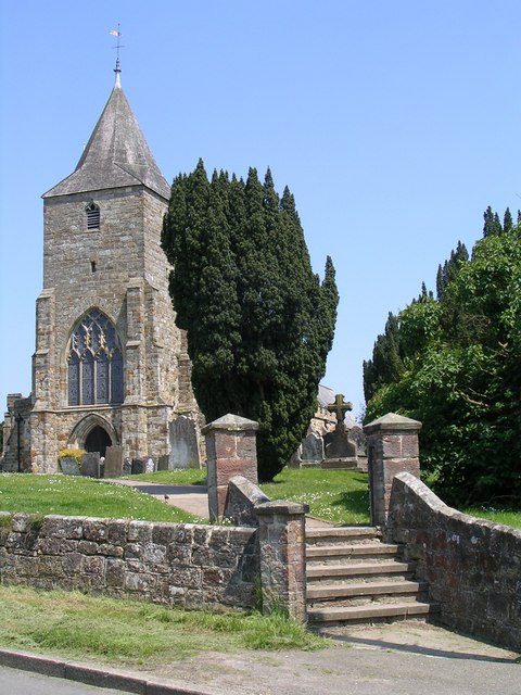
St Mary's Church, Ticehurst
St Mary's Church is a 14th-century parish church dedicated to St Mary the Virgin in Ticehurst, East Sussex, England. Part of the Diocese of Chichester...

Combwell Priory
Combwell Priory was a priory near Bedgebury Cross about 10 miles southeast of Tunbridge Wells in Kent, England. == History == This is a Grade II listed...

Bewl Bridge Rowing Club
Bewl Bridge Rowing Club is a rowing club on the Bewl Water, based at Bewlbridge Lane, Lamberhurst, Wadhurst, Tunbridge Wells. Rowers aged 12 and upwards...
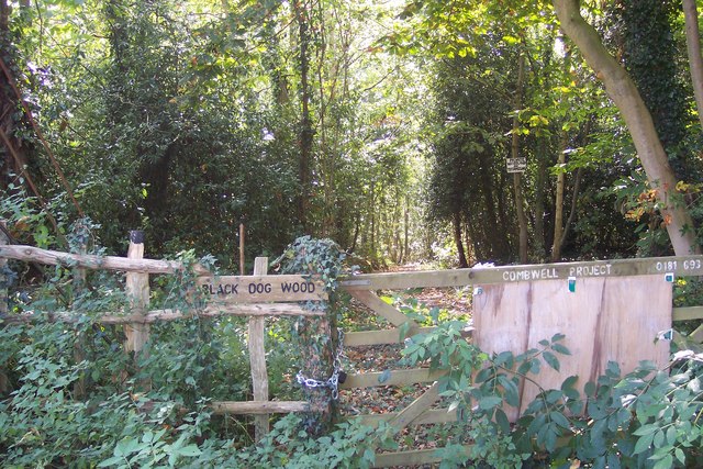
Combwell Wood
Combwell Wood is a 110.6-hectare (273-acre) biological Site of Special Scientific Interest south-east of Tunbridge Wells in Kent. The wood is part of the...
Flimwell
Flimwell is a village in the civil parish of Ticehurst, in the Rother district of East Sussex, England. It is located close to the border with Kent at...
Nearby Amenities
Located within 500m of 51.061685,0.40935224Have you been to Scotch Wood?
Leave your review of Scotch Wood below (or comments, questions and feedback).