Valley Plantation
Wood, Forest in Norfolk King's Lynn and West Norfolk
England
Valley Plantation
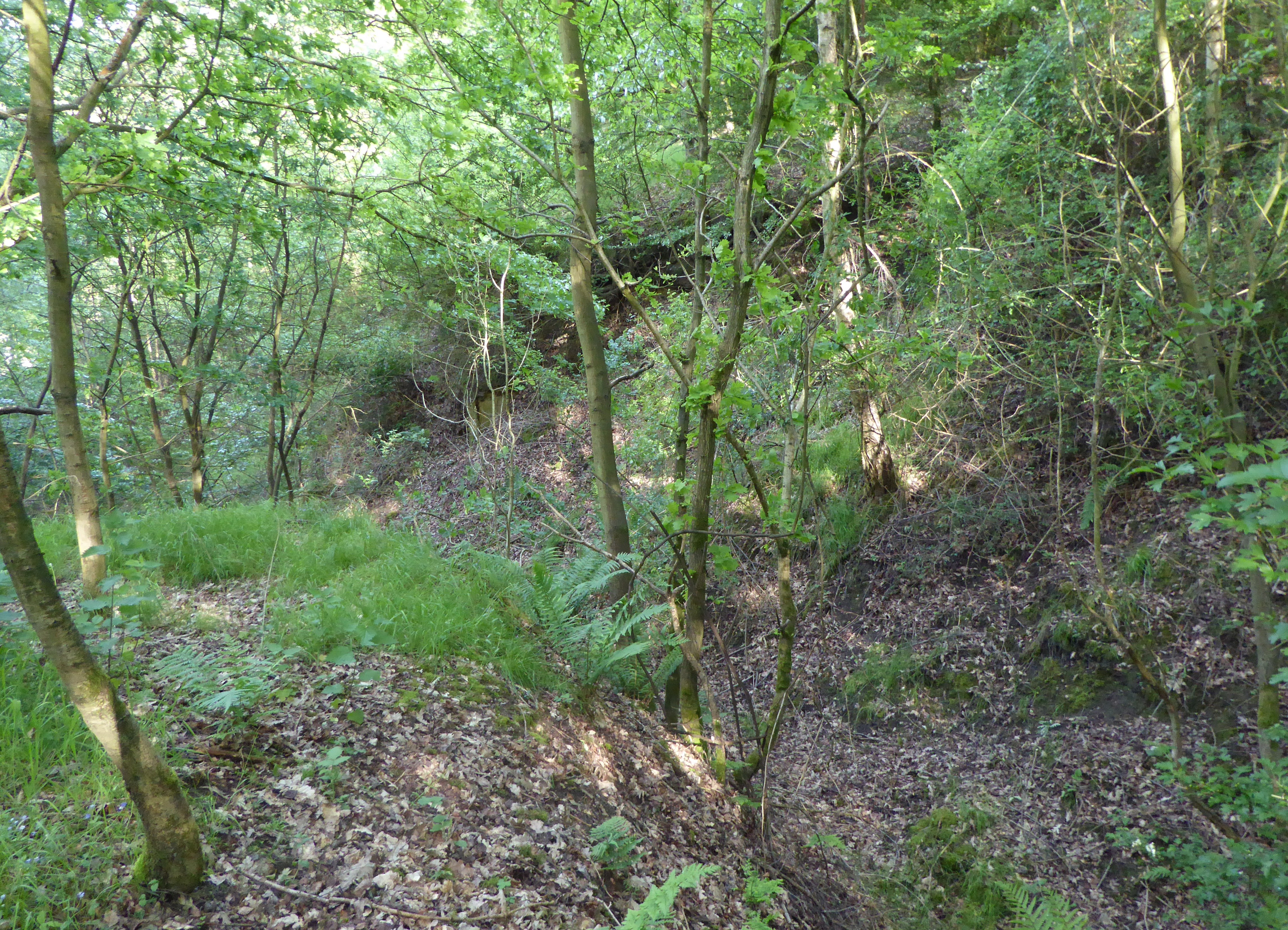
Valley Plantation is a picturesque woodland located in the county of Norfolk, England. Situated in the heart of the Norfolk Broads, this vast area of natural beauty offers visitors a serene and tranquil environment to explore.
Covering over 500 acres, Valley Plantation is predominantly composed of dense woodland, rich with a variety of tree species including oak, beech, and birch. These majestic trees create a lush canopy, providing shade and shelter for an array of wildlife that call the plantation home.
The woodland is crisscrossed by a network of well-maintained footpaths and trails, making it ideal for walkers, nature enthusiasts, and photographers. As visitors venture deeper into the plantation, they will discover a diverse range of flora and fauna, from wildflowers and ferns to deer and squirrels.
One of the highlights of Valley Plantation is its stunning valley, from which it takes its name. The valley is a hidden gem, carpeted with colorful wildflowers during the spring and summer months, and offering breathtaking views throughout the year. It is a popular spot for picnics and a peaceful place to enjoy the beauty of nature.
Valley Plantation is managed by the Norfolk Wildlife Trust, which ensures the preservation of the woodland and its inhabitants. The trust also organizes educational events and guided walks to raise awareness about the importance of conserving this natural habitat.
Whether it's for a leisurely stroll, a family outing, or a chance to reconnect with nature, Valley Plantation offers visitors an enchanting experience in the heart of Norfolk.
If you have any feedback on the listing, please let us know in the comments section below.
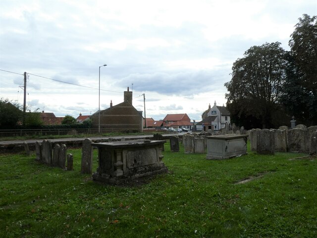
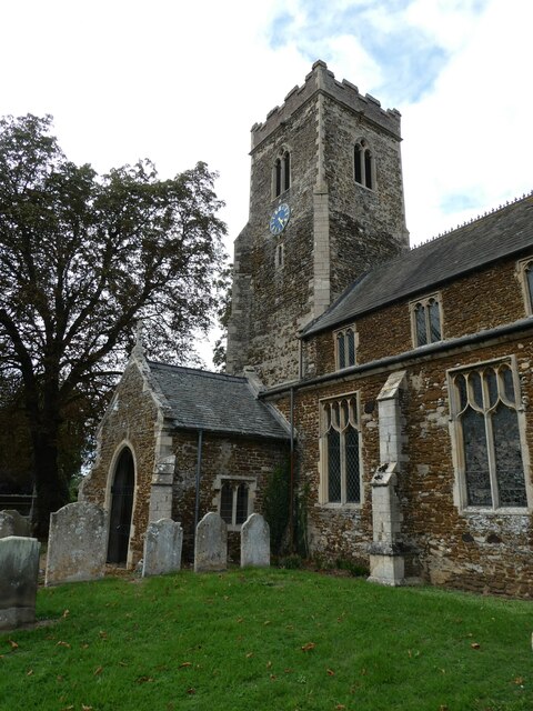
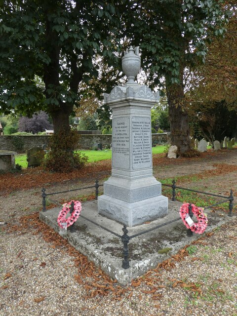
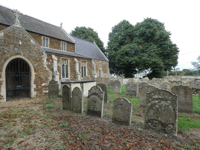
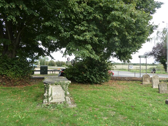
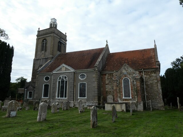
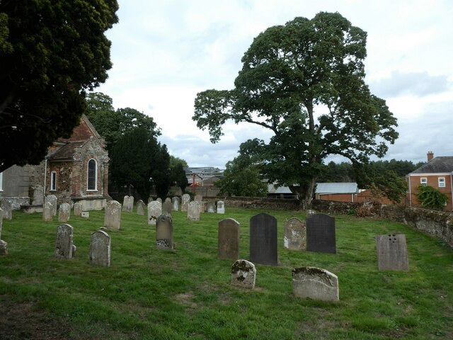
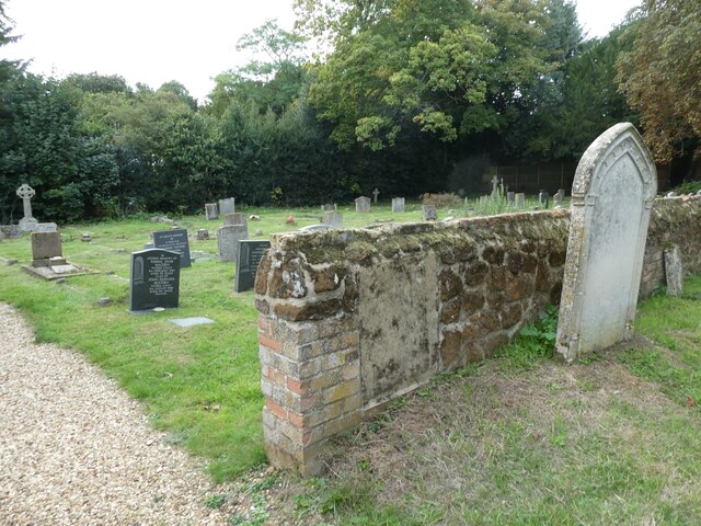
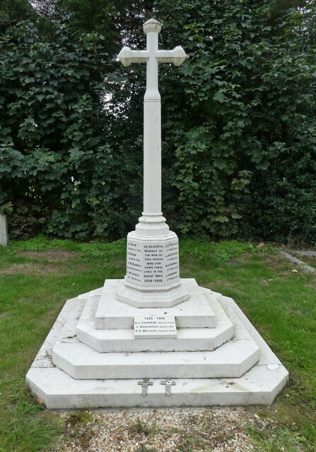
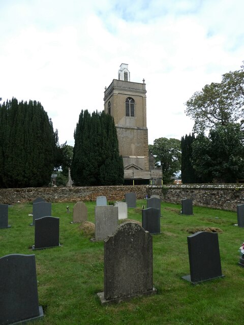
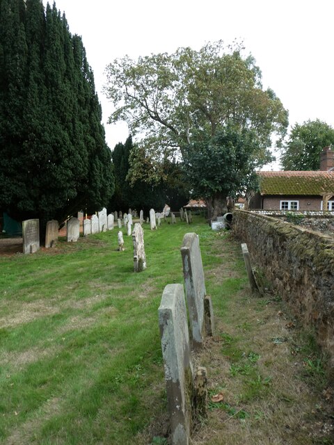
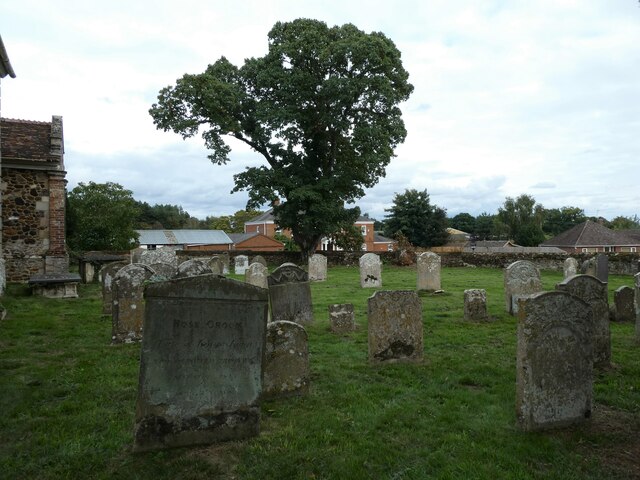
Valley Plantation Images
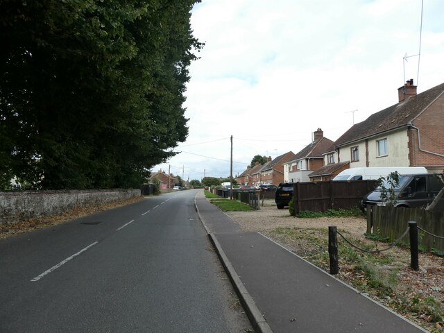
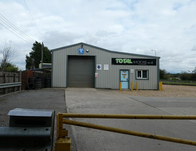
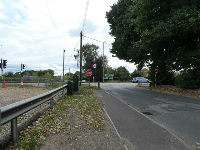
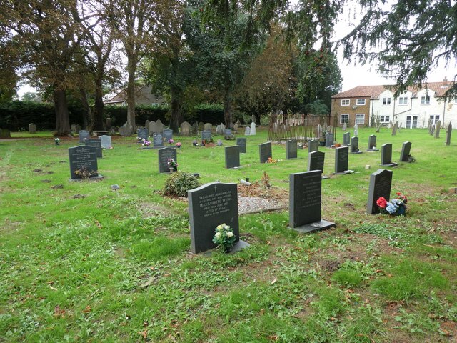
Images are sourced within 2km of 52.725624/0.46095292 or Grid Reference TF6617. Thanks to Geograph Open Source API. All images are credited.
Valley Plantation is located at Grid Ref: TF6617 (Lat: 52.725624, Lng: 0.46095292)
Administrative County: Norfolk
District: King's Lynn and West Norfolk
Police Authority: Norfolk
What 3 Words
///argue.atomic.poet. Near King's Lynn, Norfolk
Nearby Locations
Related Wikis

Middleton Mount
Middleton Mount, also called Middleton Motte and Middleton Castle, is the remains of a medieval castle situated in the village of Middleton, in Norfolk...

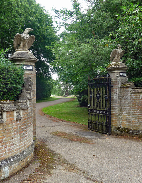
Middleton Towers
Middleton Towers is a privately owned country house in Norfolk, England, near the village of Middleton and about 3 miles (5 km) east of King's Lynn. The...

Middleton, Norfolk
Middleton is a village and civil parish in the English county of Norfolk. It covers an area of 5.02 sq mi (13.0 km2) and had a population of 1,516 in 621...

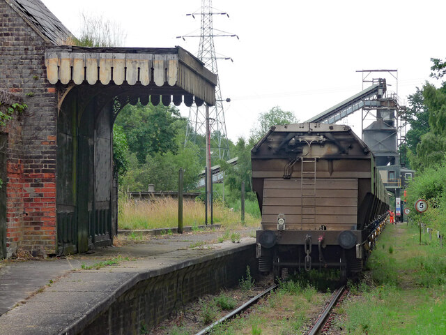
Middleton Towers railway station
Middleton Towers railway station was a station in Middleton, Norfolk. It was on the line between Swaffham and King's Lynn, and closed along with the rest...
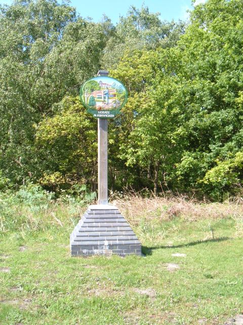
Leziate
Leziate is a village and civil parish in the English county of Norfolk. The village is 44 miles (71 km) west of Norwich, 5.7 miles (9.2 km) east of King...

North Runcton
North Runcton is a village and a civil parish in the English county of Norfolk. The village is 43.2 miles (69.5 km) west of Norwich, 4.3 miles (6.9 km...

Blackborough End Pit
Blackborough End Pit is a 13.2-hectare (33-acre) geological Site of Special Scientific Interest south-east of King's Lynn in Norfolk. It is a Geological...
Bawsey SSSI
Bawsey is a 2.6-hectare (6.4-acre) geological Site of Special Scientific Interest east of Kings' Lynn in Norfolk. It is a Geological Conservation Review...
Nearby Amenities
Located within 500m of 52.725624,0.46095292Have you been to Valley Plantation?
Leave your review of Valley Plantation below (or comments, questions and feedback).