North Belt
Wood, Forest in Norfolk King's Lynn and West Norfolk
England
North Belt

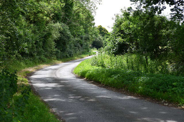
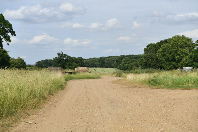
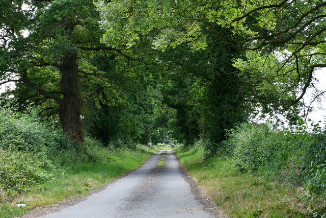
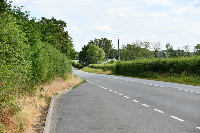
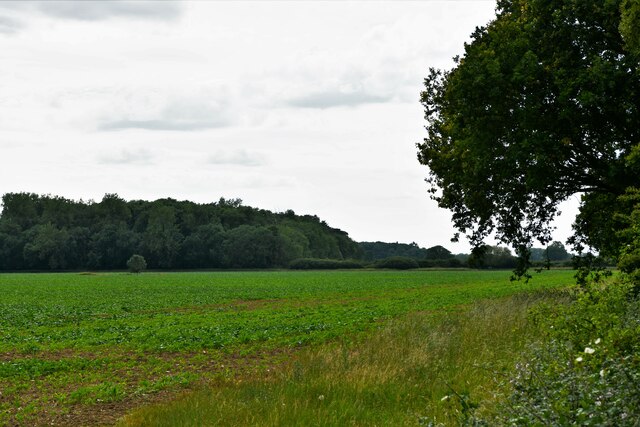
North Belt, Norfolk, also known as Wood or Forest, is a picturesque region located in the eastern part of England. Situated in the county of Norfolk, this area is characterized by its lush woodlands and beautiful forests. North Belt is known for its natural beauty, making it an ideal destination for nature lovers and outdoor enthusiasts.
The region is home to a diverse range of flora and fauna, with various species of trees such as oak, beech, and pine dominating the landscape. The dense woods provide a habitat for numerous wildlife species, including deer, foxes, and a wide variety of birds.
North Belt offers numerous opportunities for outdoor activities, such as hiking, cycling, and birdwatching. The well-maintained trails and paths that wind through the forests make it easy for visitors to explore the area and enjoy the serene surroundings. The woodlands also provide a peaceful and tranquil environment, perfect for those seeking a break from the bustling city life.
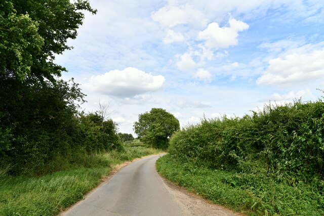
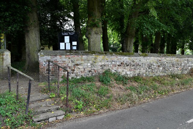
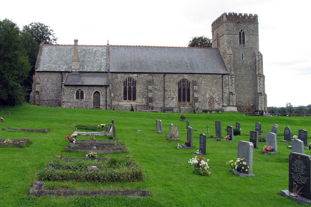
In addition to its natural beauty, North Belt is also home to several historic landmarks and attractions. The region boasts a number of charming villages and towns, each with their own unique character and architecture. Visitors can explore the local history by visiting historical sites such as ancient churches, manor houses, and ruins.
Overall, North Belt, Norfolk (Wood, Forest) is a captivating region that offers a combination of natural beauty and historic charm. Whether you are looking to immerse yourself in nature or explore the local history, this area has something to offer for everyone.
If you have any feedback on the listing, please let us know in the comments section below.
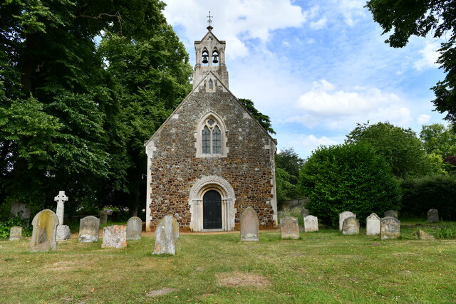
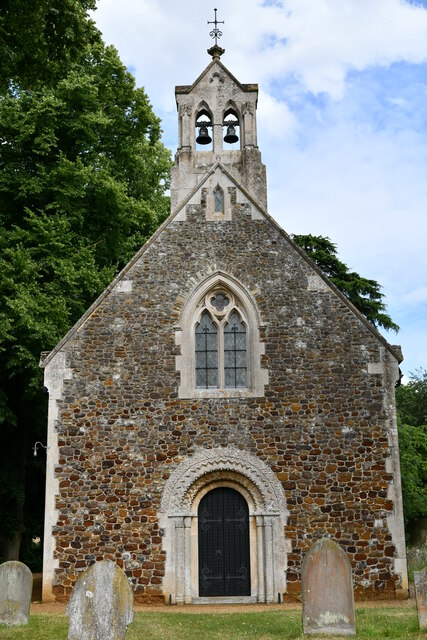
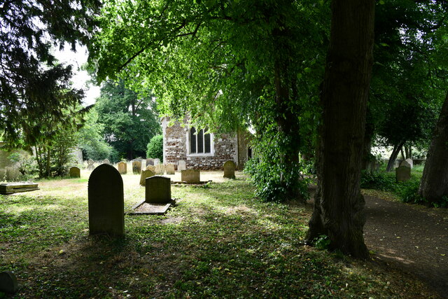
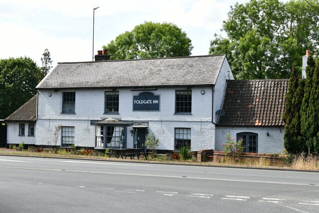
North Belt Images
Images are sourced within 2km of 52.634588/0.45585403 or Grid Reference TF6606. Thanks to Geograph Open Source API. All images are credited.


North Belt is located at Grid Ref: TF6606 (Lat: 52.634588, Lng: 0.45585403)
Administrative County: Norfolk
District: King's Lynn and West Norfolk
Police Authority: Norfolk
What 3 Words
///perfumes.relief.form. Near Downham Market, Norfolk
Nearby Locations
Related Wikis

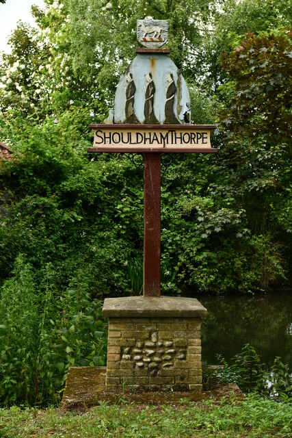
Shouldham Thorpe
Shouldham Thorpe is a village and civil parish in the English county of Norfolk. It covers an area of 5.87 km2 (2.27 sq mi) and had a population of 157...

Stradsett
Stradsett is a village and civil parish in the English county of Norfolk The village is 40.8 miles (65.7 km) west of Norwich, 11.3 miles (18.2 km) south...

Fincham
Fincham is a village and civil parish the English county of Norfolk. The village is located 9.4 miles (15.1 km) south of King's Lynn and 34 miles (55 km...
Shouldham
Shouldham is a village and civil parish in the English county of Norfolk. It covers an area of 16.04 km2 (6.19 sq mi) and had a population of 608 in 246...

Crimplesham
Crimplesham is a village and civil parish in the English county of Norfolk. It is situated 2.5 miles (4.0 km) east of the small town of Downham Market...

Stow Bardolph
Stow Bardolph, sometimes simply referred to as Stow, is an estate and civil parish in the English county of Norfolk, lying between King's Lynn and Downham...

Winnold House
Winnold House, formerly the Benedictine Priory of St Winwaloe, is a country house in the parish of Wereham in Norfolk, England. The house is constructed...

RAF Downham Market
Royal Air Force Downham Market, or more simply RAF Downham Market, was a Royal Air Force station in the west of the county of Norfolk, England which operated...
Nearby Amenities
Located within 500m of 52.634588,0.45585403Have you been to North Belt?
Leave your review of North Belt below (or comments, questions and feedback).