Fen Plantation

Wood, Forest in Norfolk King's Lynn and West Norfolk

England

Fen Plantation

Looking northwards up Station Road During a great walking week-end in Norfolk with two friends from my school days (1972 - 1979) there were times when I nipped off in the car to look at churches and other historical features: these are they!
Looking northwards up Station Road Credit: Basher Eyre

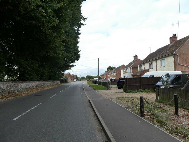
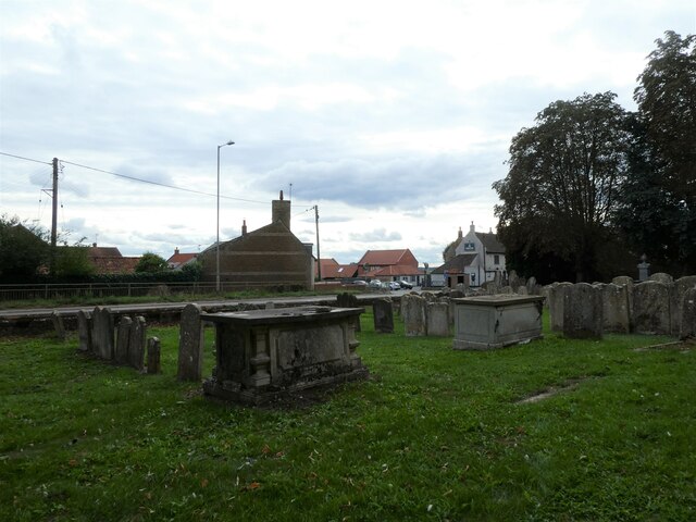
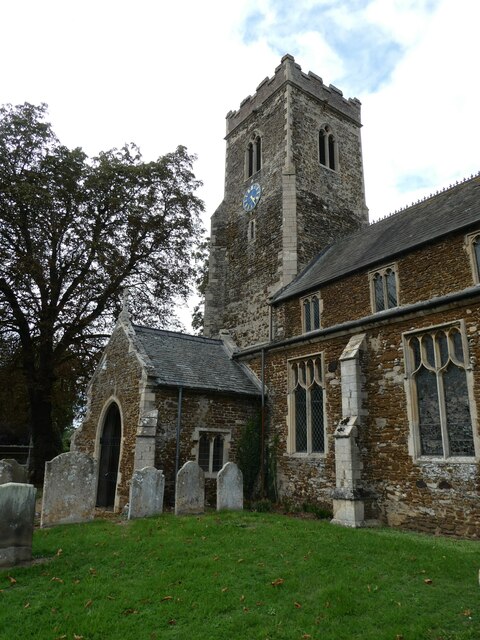
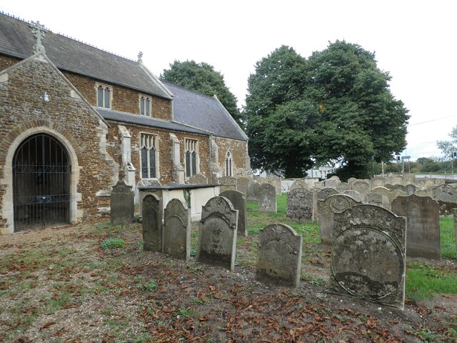
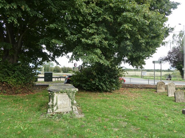
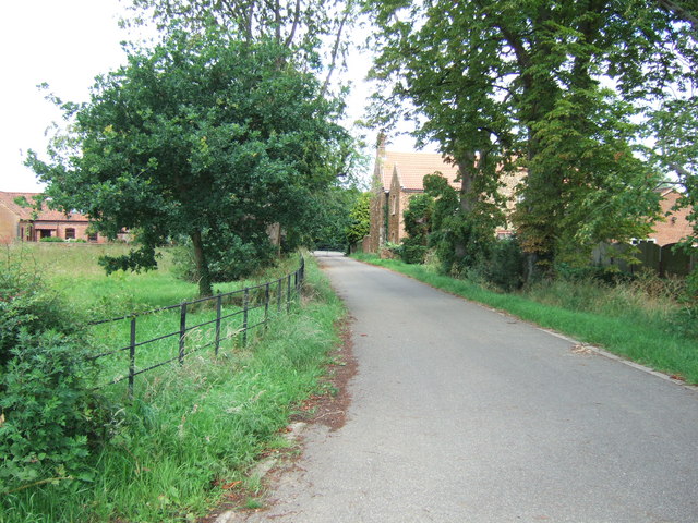
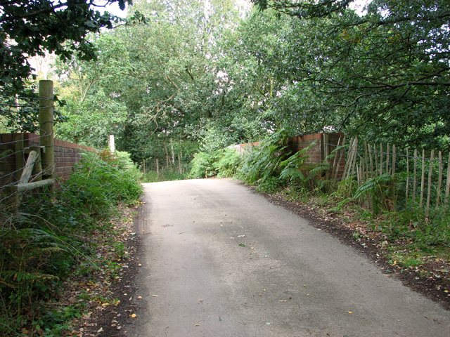
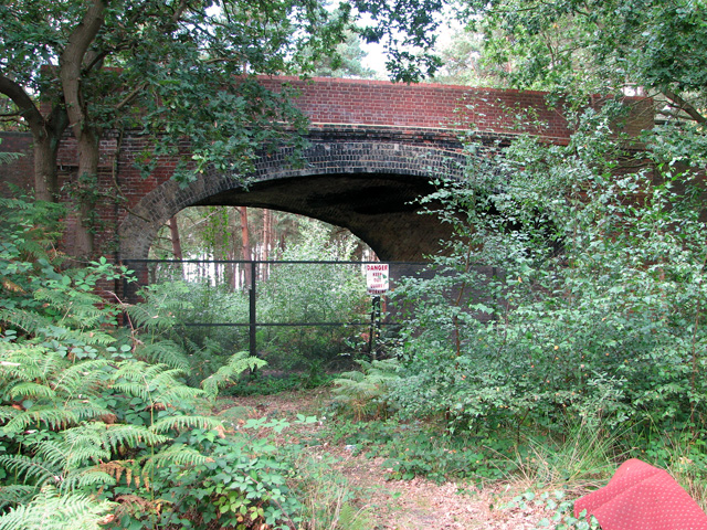
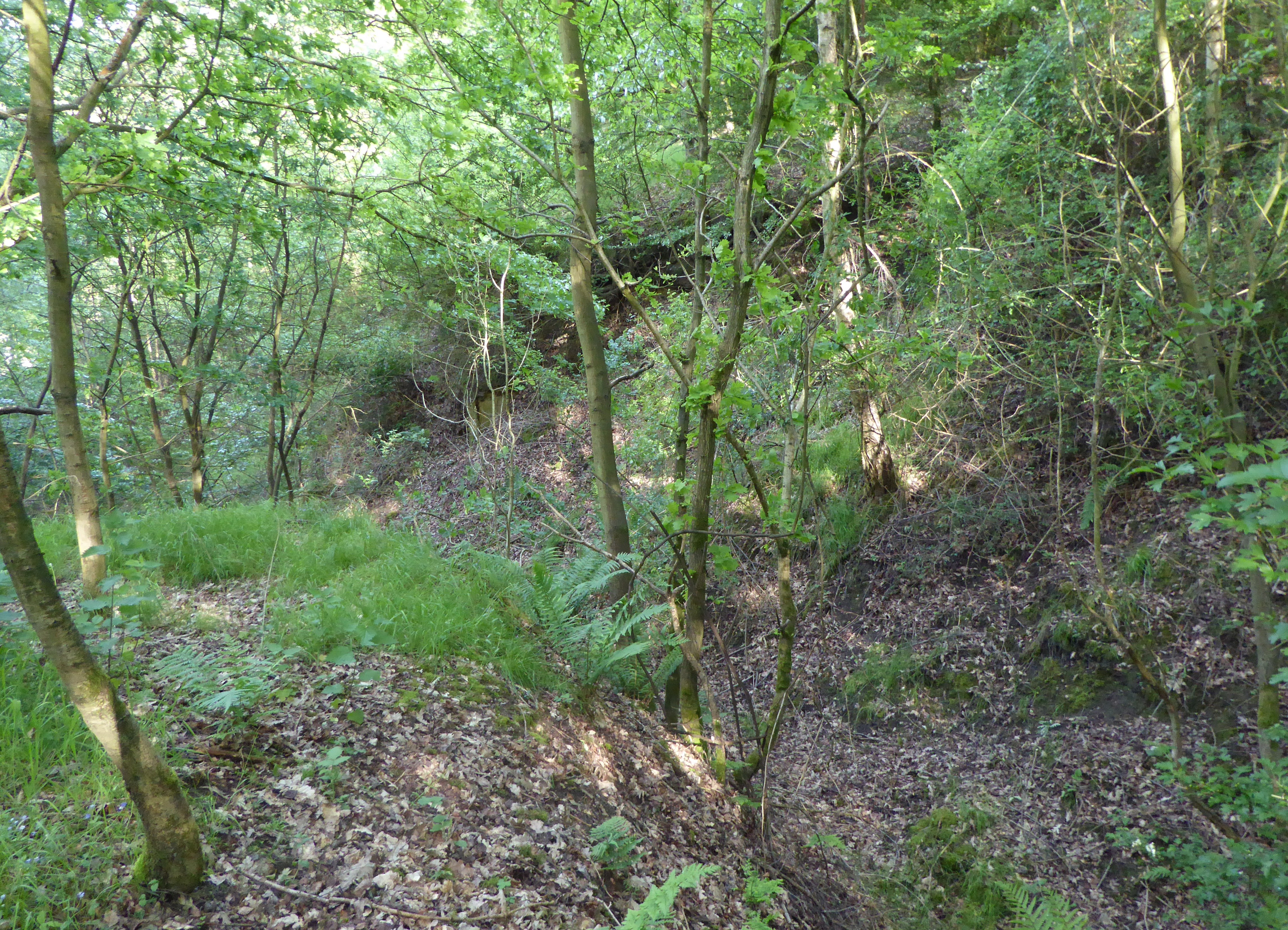
Fen Plantation, located in Norfolk, England, is a picturesque woodland area that spans across a significant portion of the county. Situated near the village of Woodbastwick, the plantation is renowned for its diverse array of flora and fauna, making it a popular destination for nature enthusiasts and hikers alike.

The woodland, also referred to as Fen Forest, boasts a rich history dating back centuries. Originally used as a hunting ground for the local nobility, it eventually evolved into a managed plantation, with carefully planned tree planting and maintenance practices. The result is a well-preserved woodland, characterized by a mix of broadleaf and coniferous trees.

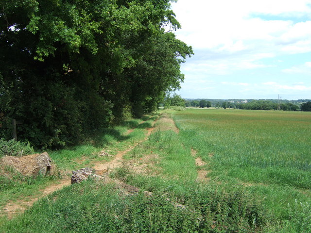
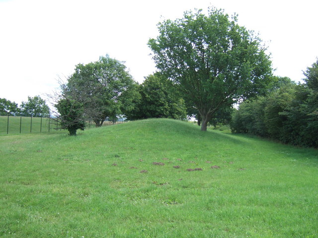
The plantation is home to various tree species such as oak, beech, birch, and pine, creating a tapestry of vibrant colors throughout the seasons. The forest floor is adorned with a variety of wildflowers, ferns, and mosses, providing a habitat for numerous small mammals, birds, and insects. Visitors can often spot deer roaming freely amidst the trees, adding to the enchanting atmosphere of the woodland.

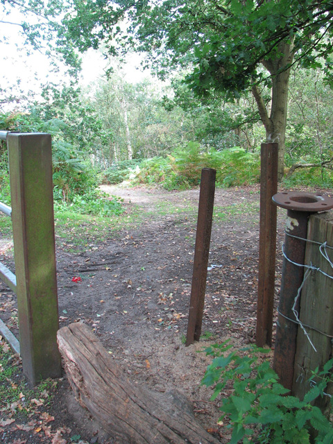
The Fen Plantation offers several walking trails and footpaths, allowing visitors to explore its natural beauty at their own pace. These trails vary in length and difficulty, catering to both novice and experienced hikers. Additionally, there are designated picnic areas and viewpoints throughout the plantation, providing visitors with the perfect opportunity to relax and immerse themselves in the tranquil surroundings.

Overall, Fen Plantation in Norfolk is a captivating woodland retreat, inviting visitors to connect with nature and enjoy the serene atmosphere that it offers.

If you have any feedback on the listing, please let us know in the comments section below.

Fen Plantation Images

Images are sourced within 2km of 52.73203/0.46116571 or Grid Reference TF6617. Thanks to Geograph Open Source API. All images are credited.

Looking northwards up Station Road During a great walking week-end in Norfolk with two friends from my school days (1972 - 1979) there were times when I nipped off in the car to look at churches and other historical features: these are they!
Looking northwards up Station Road
During a great walking week-end in Norfolk with two friends from my school days (1972 - 1979) there were times when I nipped off in the car to look at churches and other historical features: these are they!
Total Motors: mid September 2022
Looking southwards along Station Road towards the A47
St Mary, Middleton: churchyard (a)
St Mary, Middleton: churchyard (b)
St Mary, Middleton: churchyard (c)
St Mary, Middleton: churchyard (d)
St Mary, Middleton: churchyard (e)
St Mary, Middleton: churchyard (f)
Gate piers near Middleton Crowned by eagles, making a statement. Victorian or later.
Entrance to <a href="https://www.geograph.org.uk/photo/2591960">TF6617 : Middleton Towers, Middleton</a>.
Gate piers near Middleton
Crowned by eagles, making a statement. Victorian or later. Entrance to TF6617 : Middleton Towers, Middleton.
Middletons Steakhouse and Grill Restaurant on the A47 at Middleton
Middletons Steakhouse and Grill
Restaurant on the A47 at Middleton
Driveway to Manor Farm, Fair Green South east of King's Lynn, Norfolk
Driveway to Manor Farm, Fair Green
South east of King's Lynn, Norfolk
Bridleway east of Middleton, King's Lynn
Mound near the reservoir On A47 east of Middleton near King's Lynn
Mound near the reservoir
On A47 east of Middleton near King's Lynn
Access route into Bawsey Country Park The country park has been created in an area of disused sand pits and gravel quarries, now open to the public.
Access route into Bawsey Country Park
The country park has been created in an area of disused sand pits and gravel quarries, now open to the public.
Bridge over disused railway line, Mintlyn
Bridge over disused railway line, Mintlyn Access through the bridge is blocked because there is a working quarry in the woodland on the other side.
Bridge over disused railway line, Mintlyn
Access through the bridge is blocked because there is a working quarry in the woodland on the other side.
Show me another place!

Fen Plantation is located at Grid Ref: TF6617 (Lat: 52.73203, Lng: 0.46116571)

Administrative County: Norfolk

District: King's Lynn and West Norfolk

Police Authority: Norfolk

What 3 Words

///driver.breakfast.leaves. Near King's Lynn, Norfolk

Related Wikis

Middleton Towers

Middleton Towers is a privately owned country house in Norfolk, England, near the village of Middleton and about 3 miles (5 km) east of King's Lynn. The...

Middleton Towers railway station

Middleton Towers railway station was a station in Middleton, Norfolk. It was on the line between Swaffham and King's Lynn, and closed along with the rest...

Middleton Mount

Middleton Mount, also called Middleton Motte and Middleton Castle, is the remains of a medieval castle situated in the village of Middleton, in Norfolk...
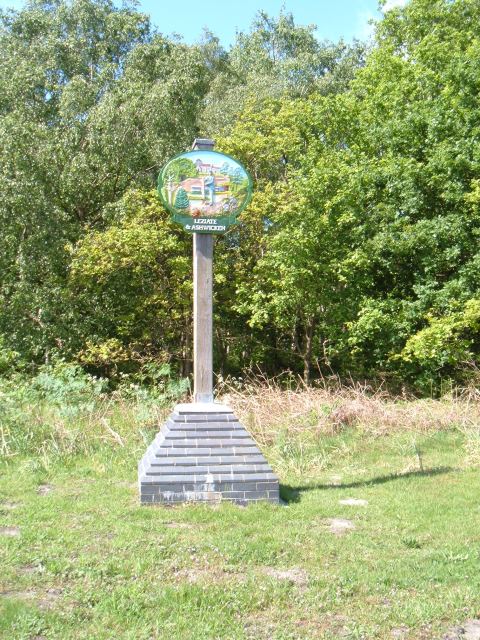
Leziate

Leziate is a village and civil parish in the English county of Norfolk. The village is 44 miles (71 km) west of Norwich, 5.7 miles (9.2 km) east of King...

Middleton, Norfolk

Middleton is a village and civil parish in the English county of Norfolk. It covers an area of 5.02 sq mi (13.0 km2) and had a population of 1,516 in 621...

Gayton Road railway station

Gayton Road railway station was a station in Norfolk, located close to King's Lynn on the Midland and Great Northern Joint Railway. == History == The station...

Bawsey SSSI

Bawsey is a 2.6-hectare (6.4-acre) geological Site of Special Scientific Interest east of Kings' Lynn in Norfolk. It is a Geological Conservation Review...

North Runcton

North Runcton is a village and a civil parish in the English county of Norfolk. The village is 43.2 miles (69.5 km) west of Norwich, 4.3 miles (6.9 km...

Nearby Amenities

Located within 500m of 52.73203,0.46116571
Power: tower
Lat/Long: 52.734096/0.4675841
Power: tower
Lat/Long: 52.7336088/0.463357
Power: tower
Lat/Long: 52.733193/0.4596609
Power: tower
Lat/Long: 52.7325693/0.454334
Power: pole
Lat/Long: 52.7355574/0.4623568
Power: pole
Lat/Long: 52.7363901/0.4615866
Power: pole
Source: Mapbox
Lat/Long: 52.7347616/0.4637301
Power: pole
Lat/Long: 52.734721/0.4631186
Power: pole
Source: Mapbox
Lat/Long: 52.7351156/0.4621959
Power: pole
Source: Mapbox
Lat/Long: 52.7355055/0.4604793
Power: pole
Source: Mapbox
Lat/Long: 52.7358757/0.4588324
Power: pole
Lat/Long: 52.7339365/0.4638482
Power: pole
Source: Mapbox
Lat/Long: 52.7343654/0.4654668
Power: pole
Lat/Long: 52.7322656/0.4654108
Power: pole
Source: Mapbox
Lat/Long: 52.7309028/0.4642261
Power: pole
Source: Mapbox
Lat/Long: 52.7339888/0.4671175
Power: pole
Lat/Long: 52.7325437/0.4675566
Power: pole
Lat/Long: 52.7322184/0.4654757
Power: pole
Lat/Long: 52.7331219/0.4646199
Power: pole
Source: Mapbox
Lat/Long: 52.7297099/0.463079
Power: pole
Lat/Long: 52.7326811/0.468436
Power: pole
Source: Mapbox
Lat/Long: 52.7285931/0.4620052
The data included in this document is from www.openstreetmap.org. The data is made available under ODbL.

Have you been to Fen Plantation?

Leave your review of Fen Plantation below (or comments, questions and feedback).