Tower End
Settlement in Norfolk King's Lynn and West Norfolk
England
Tower End
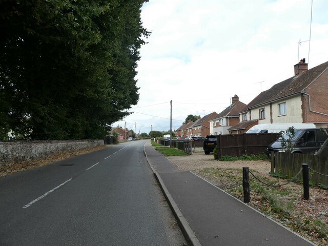
Tower End is a charming village located in the county of Norfolk, England. Situated on the eastern edge of the country, Tower End enjoys a picturesque setting surrounded by rolling countryside and scenic landscapes. The village is part of the North Norfolk district and is nestled within close proximity to the market town of Fakenham.
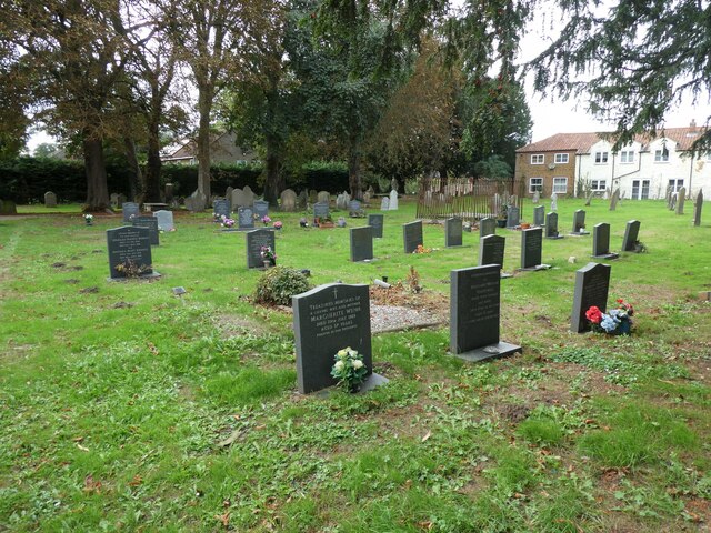
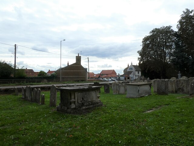
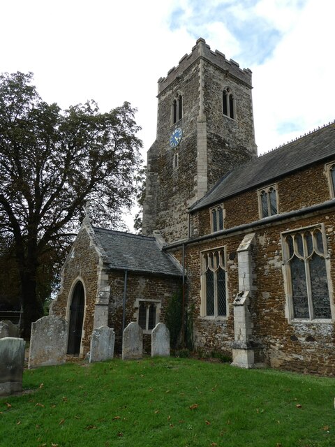
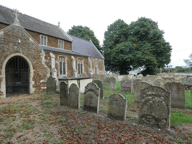
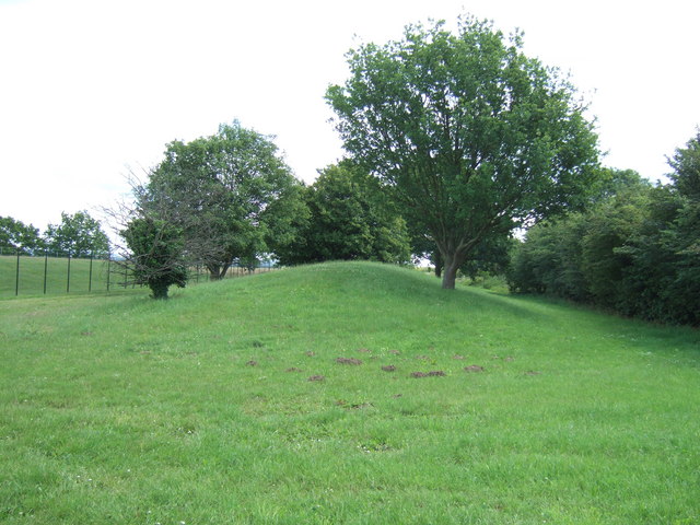
Tower End is renowned for its rich historical heritage, with evidence suggesting human habitation in the area since prehistoric times. The village takes its name from an ancient tower that once stood at its center, although little remains of this structure today. The area has also been a site of significance during the Roman occupation of Britain, as several archaeological discoveries have been made in the vicinity.
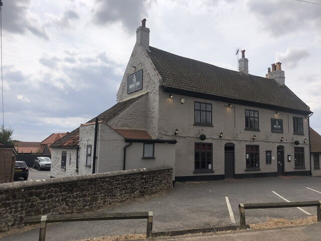
The village itself boasts a close-knit community, with a relatively small population residing in a collection of traditional Norfolk cottages and modern housing. Tower End benefits from a range of amenities, including a local pub, village hall, and a primary school, ensuring that residents have access to essential services within their immediate surroundings.
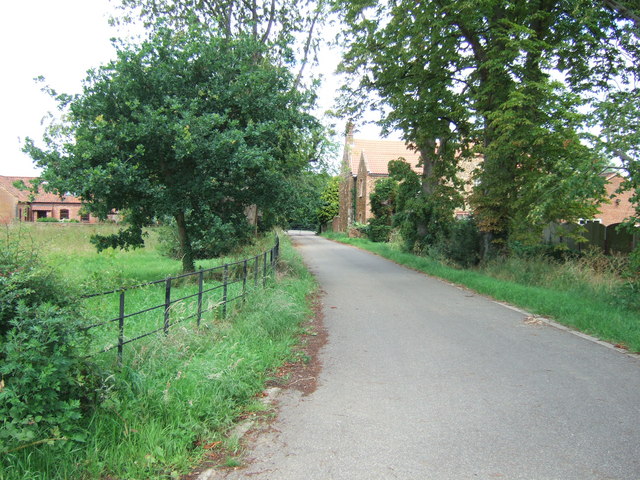
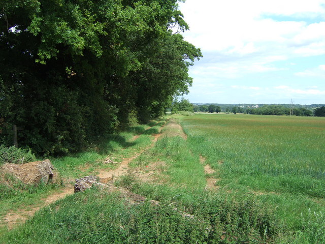
Nature enthusiasts are drawn to Tower End due to its proximity to the beautiful Norfolk coast, just a short drive away. The surrounding countryside offers ample opportunities for outdoor activities such as walking, cycling, and horse riding, with an abundance of scenic trails to explore.
Overall, Tower End presents an idyllic rural retreat, where history and natural beauty combine to create a charming village atmosphere.
If you have any feedback on the listing, please let us know in the comments section below.
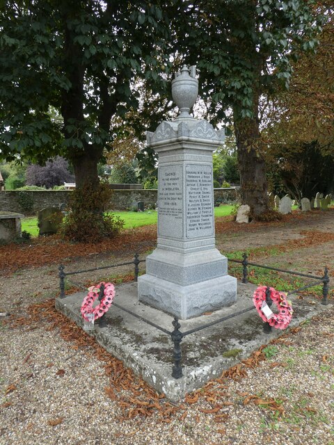
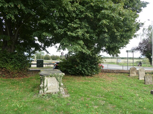
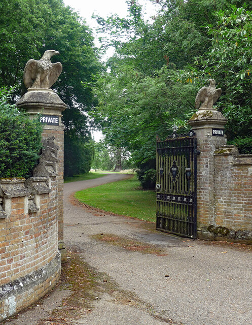
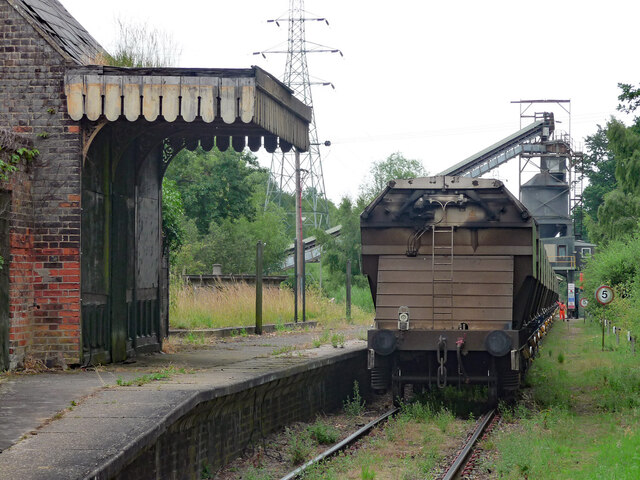
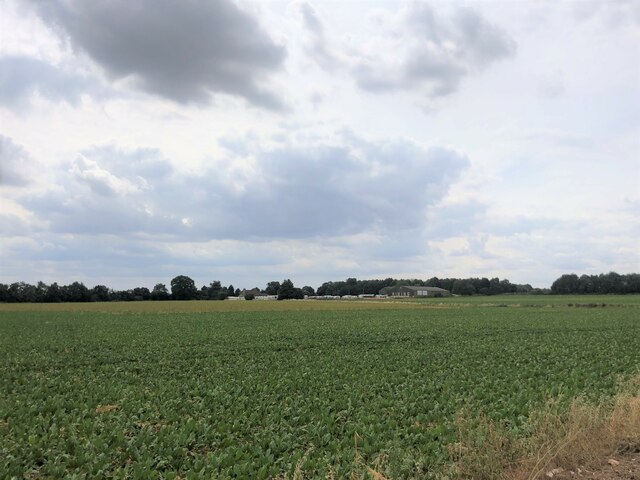
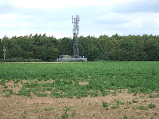
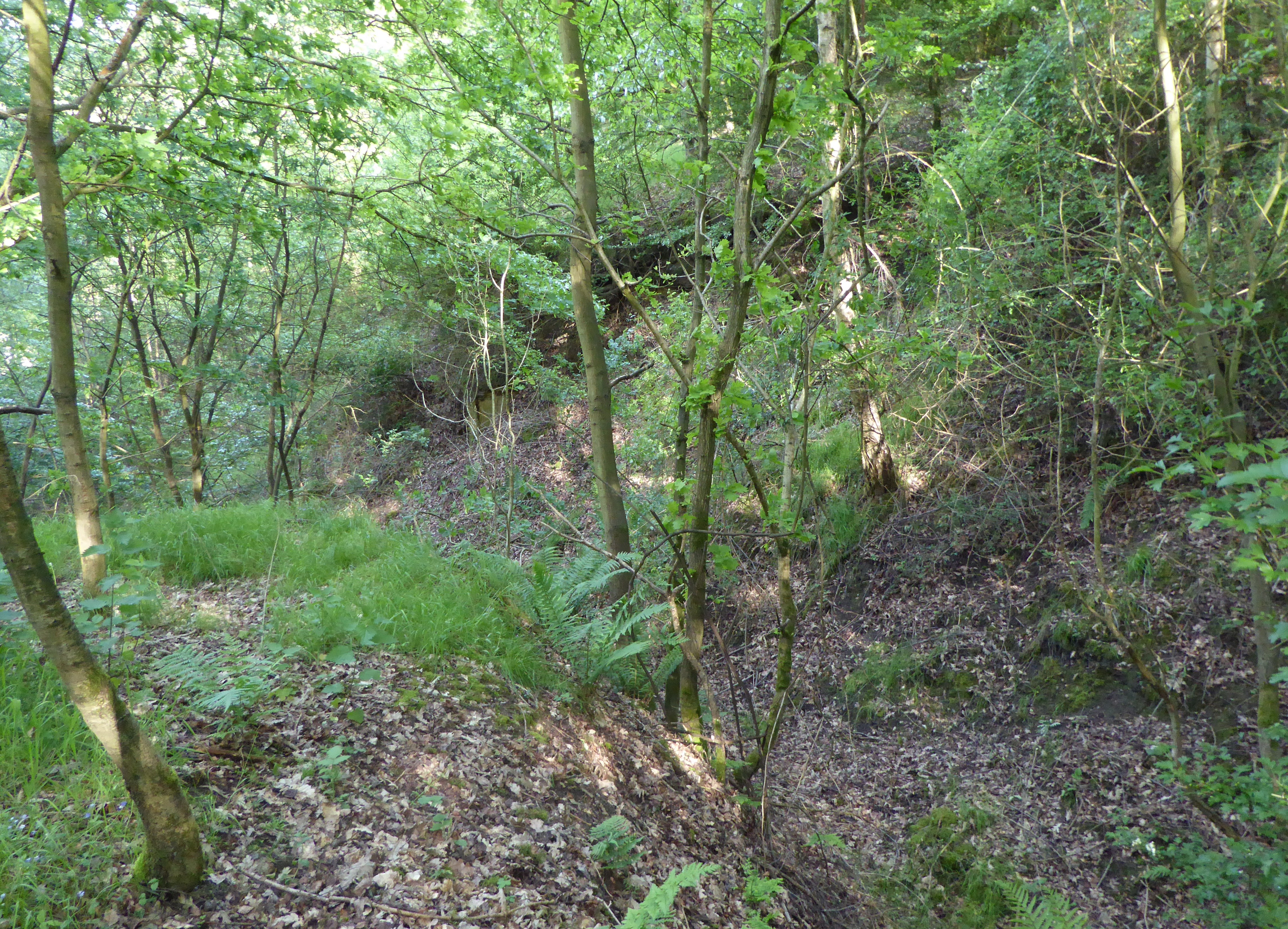
Tower End Images
Images are sourced within 2km of 52.729292/0.469066 or Grid Reference TF6617. Thanks to Geograph Open Source API. All images are credited.

Tower End is located at Grid Ref: TF6617 (Lat: 52.729292, Lng: 0.469066)
Administrative County: Norfolk
District: King's Lynn and West Norfolk
Police Authority: Norfolk
What 3 Words
///embellish.compounds.moment. Near King's Lynn, Norfolk
Nearby Locations
Related Wikis

Middleton Towers
Middleton Towers is a privately owned country house in Norfolk, England, near the village of Middleton and about 3 miles (5 km) east of King's Lynn. The...

Middleton Towers railway station
Middleton Towers railway station was a station in Middleton, Norfolk. It was on the line between Swaffham and King's Lynn, and closed along with the rest...
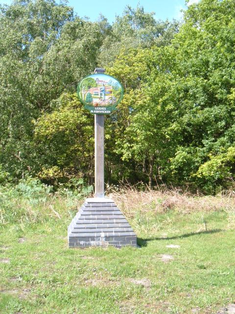
Leziate
Leziate is a village and civil parish in the English county of Norfolk. The village is 44 miles (71 km) west of Norwich, 5.7 miles (9.2 km) east of King...

Middleton Mount
Middleton Mount, also called Middleton Motte and Middleton Castle, is the remains of a medieval castle situated in the village of Middleton, in Norfolk...

Middleton, Norfolk
Middleton is a village and civil parish in the English county of Norfolk. It covers an area of 5.02 sq mi (13.0 km2) and had a population of 1,516 in 621...
Bawsey SSSI
Bawsey is a 2.6-hectare (6.4-acre) geological Site of Special Scientific Interest east of Kings' Lynn in Norfolk. It is a Geological Conservation Review...

Gayton Road railway station
Gayton Road railway station was a station in Norfolk, located close to King's Lynn on the Midland and Great Northern Joint Railway. == History == The station...

Bawsey
Bawsey is a village and civil parish in the English county of Norfolk. The village is about 4 miles (6.4 km) east of the town of King's Lynn and 40 miles...
Nearby Amenities
Located within 500m of 52.729292,0.469066Have you been to Tower End?
Leave your review of Tower End below (or comments, questions and feedback).