Barton's Belt
Wood, Forest in Cambridgeshire South Cambridgeshire
England
Barton's Belt
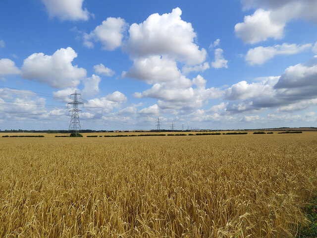
Barton's Belt, located in Cambridgeshire, is a remarkable woodland area known for its scenic beauty and abundant wildlife. Spanning over a vast expanse, this forested region is a cherished natural gem for both locals and visitors alike.
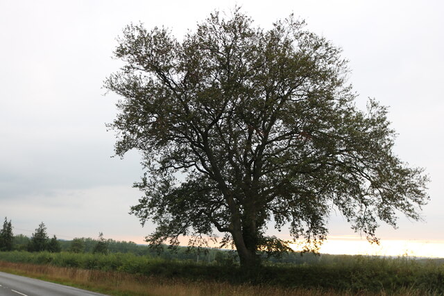
The dense woodland of Barton's Belt is predominantly composed of various tree species, including oak, beech, and birch, creating a diverse and enchanting environment. This thriving ecosystem supports a wide range of flora and fauna, making it an ideal habitat for numerous animals and plant species. Visitors can expect to encounter a rich array of wildlife, such as deer, foxes, badgers, and an array of bird species.
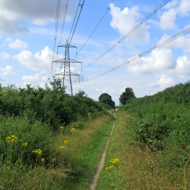
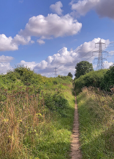
The woodland is crisscrossed by a network of well-maintained paths and trails, allowing visitors to explore its beauty and immerse themselves in nature. Whether it's a leisurely stroll or a more adventurous hike, Barton's Belt caters to all levels of outdoor enthusiasts. Moreover, the forest provides an ideal setting for activities such as birdwatching, photography, and nature study.
Barton's Belt also plays an important role in the local community, serving as a recreational space for both individuals and families. Its serene atmosphere offers a retreat from the hustle and bustle of everyday life, providing a peaceful sanctuary for relaxation and rejuvenation.
Overall, Barton's Belt is a captivating woodland area that showcases the natural beauty of Cambridgeshire. With its lush greenery, diverse wildlife, and tranquil ambiance, it is a haven for nature lovers and a testament to the importance of protecting and appreciating the natural world.
If you have any feedback on the listing, please let us know in the comments section below.
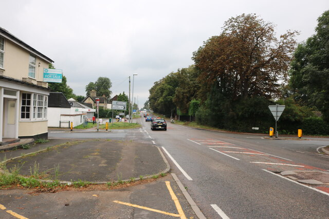
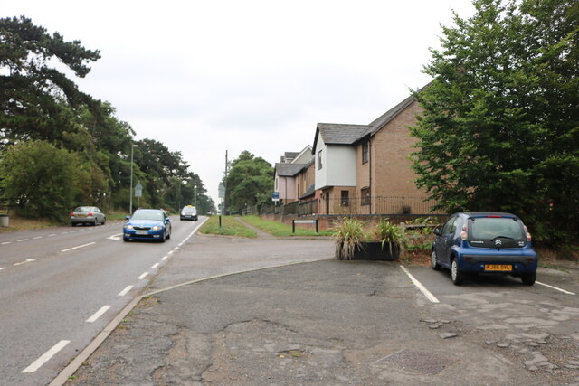
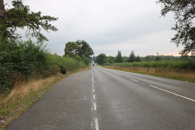
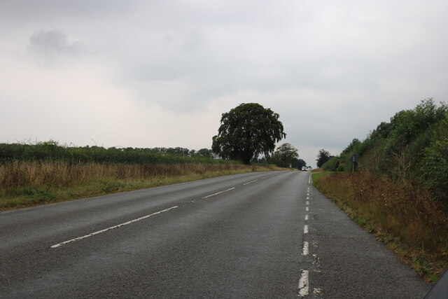
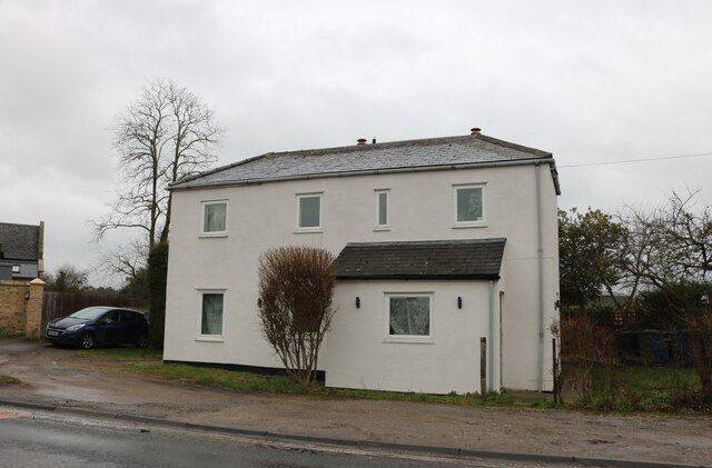
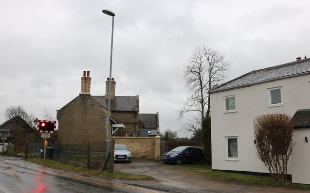
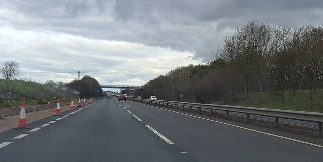
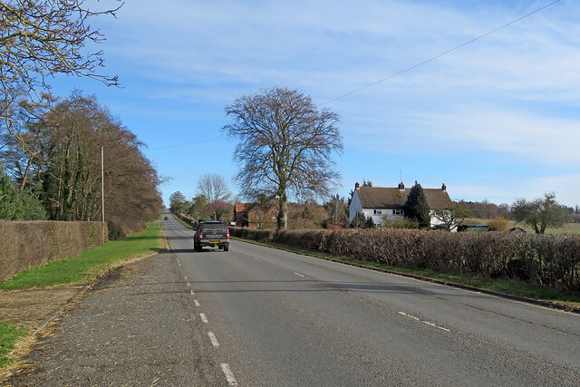
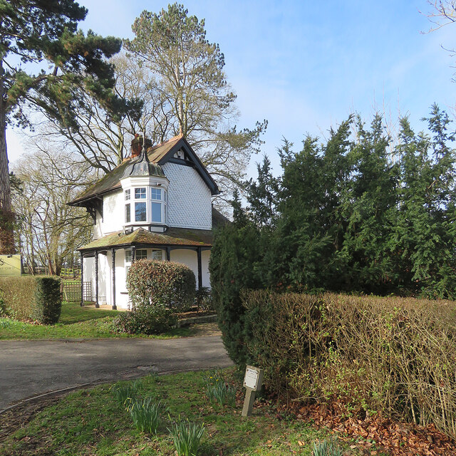
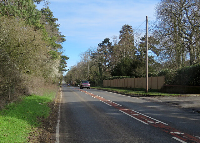
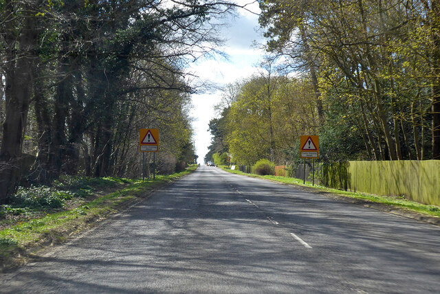
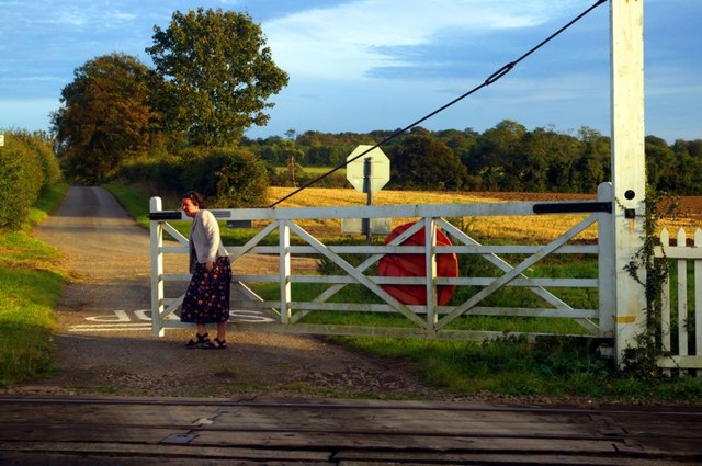
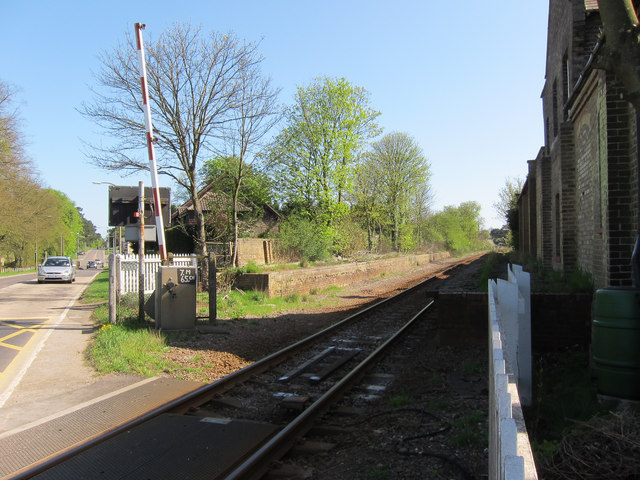
Barton's Belt Images
Images are sourced within 2km of 52.188183/0.30192532 or Grid Reference TL5756. Thanks to Geograph Open Source API. All images are credited.
Barton's Belt is located at Grid Ref: TL5756 (Lat: 52.188183, Lng: 0.30192532)
Administrative County: Cambridgeshire
District: South Cambridgeshire
Police Authority: Cambridgeshire
What 3 Words
///miles.bandstand.marsh. Near Bottisham, Cambridgeshire
Nearby Locations
Related Wikis

Six Mile Bottom railway station
Six Mile Bottom railway station is a disused railway station on the Ipswich to Cambridge line between Dullingham and Fulbourn. It served the village of...

Six Mile Bottom
Six Mile Bottom is a hamlet within the parish of Little Wilbraham, near Cambridge in England. == History == In the 1790s the only building at Six Mile...

Great Wilbraham
Great Wilbraham is a small village situated in a rural area some seven miles (11 km) to the east of Cambridge, between the edge of an area of low-lying...
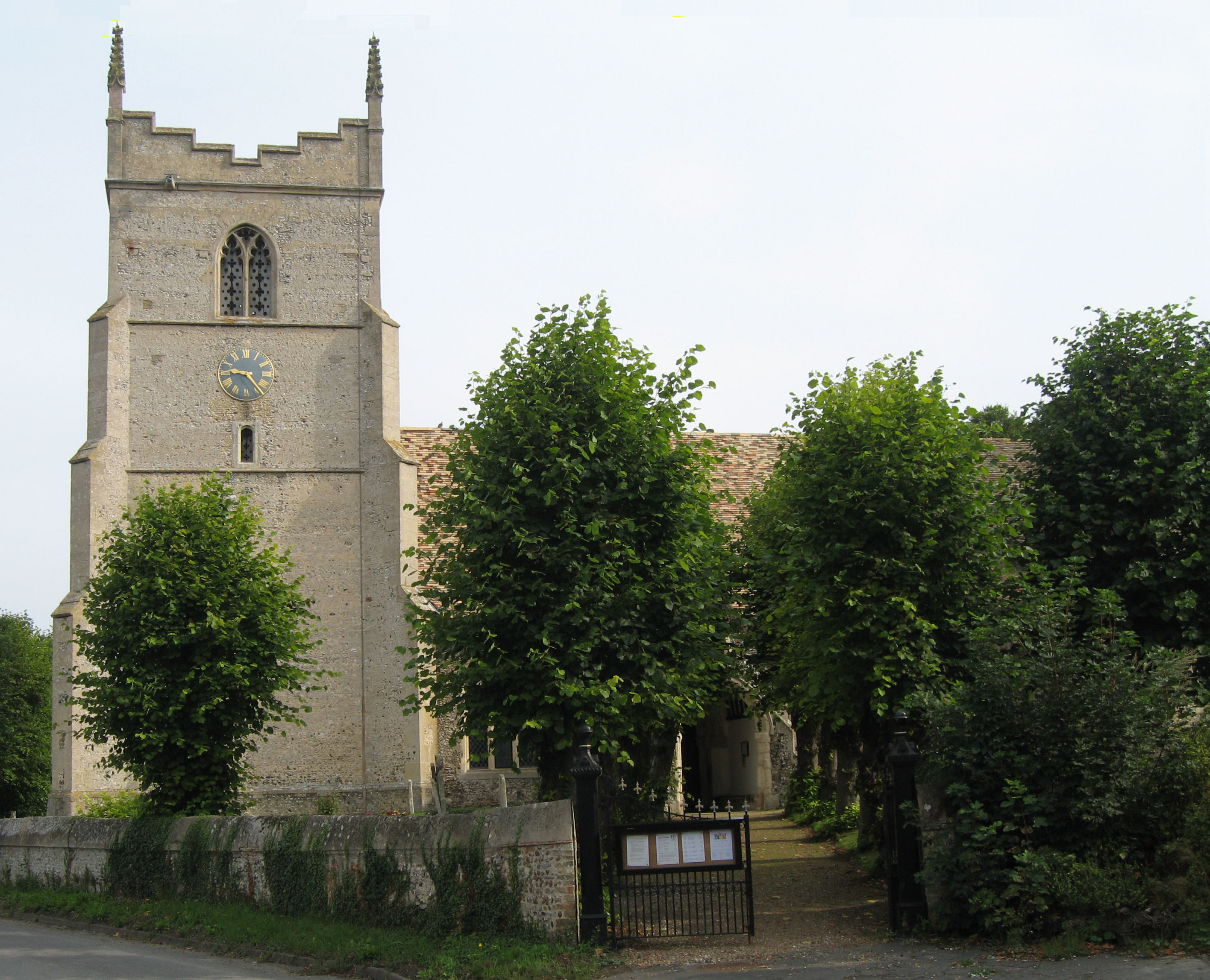
Great Wilbraham Preceptory
Great Wilbraham Preceptory is a preceptory in Great and Little Wilbraham, Cambridgeshire. Much of the Church of Saint Nicholas at Great Wilbraham dates...

Little Wilbraham
Little Wilbraham is a village in Cambridgeshire, England, 6 miles (10 km) east of Cambridge between the A1303 and the A11. It is in the district of South...

Fleam Dyke
Fleam Dyke is a linear earthwork between Fulbourn and Balsham in Cambridgeshire, initiated at some timepoint between AD 330 and AD 510. It is three miles...
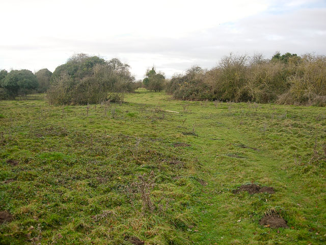
Great Wilbraham Common
Great Wilbraham Common is a 23.5-hectare (58-acre) biological Site of Special Scientific Interest west of Great Wilbraham in Cambridgeshire. It is managed...

RAF Bottisham
Royal Air Force Bottisham or more simply RAF Bottisham is a former Royal Air Force station located 5 miles (8 km) east of Cambridge, Cambridgeshire, England...
Nearby Amenities
Located within 500m of 52.188183,0.30192532Have you been to Barton's Belt?
Leave your review of Barton's Belt below (or comments, questions and feedback).