Station Belt

Wood, Forest in Cambridgeshire South Cambridgeshire

England

Station Belt

Empty pub in Six Mile Bottom The old Green Man is up for sale, but will it be a pub?
Empty pub in Six Mile Bottom Credit: David Howard

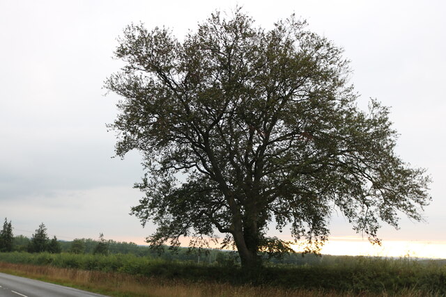
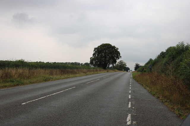
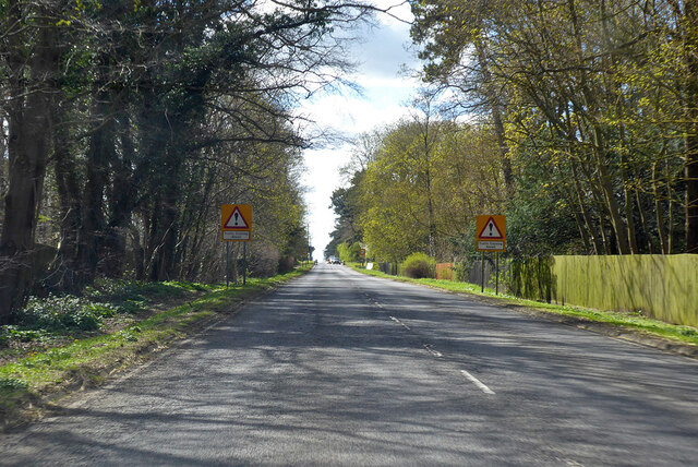
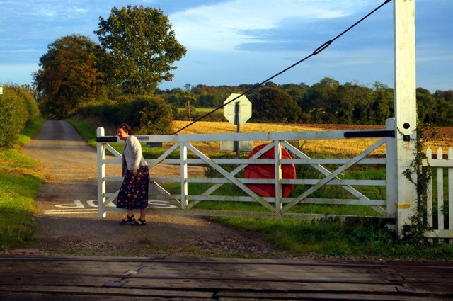
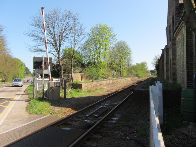
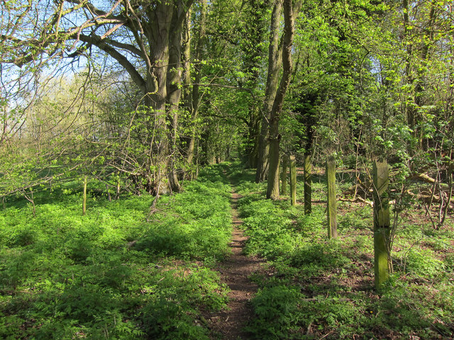
Station Belt is a woodland area located in Cambridgeshire, England. Situated near the town of Wood, the forest spans approximately 200 acres and is known for its diverse range of flora and fauna. The forest is easily accessible, with a train station conveniently located nearby, hence its name.

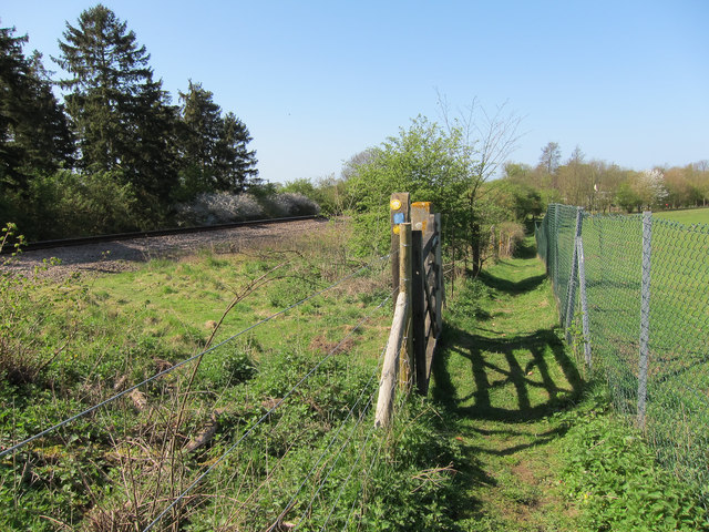
The woodland is predominantly made up of broadleaf trees, including oak, beech, and ash, creating a dense and lush canopy. This provides a habitat for a variety of wildlife, such as badgers, deer, and numerous bird species. The forest also contains several small ponds and streams, which further contribute to its biodiversity.

Station Belt is a popular destination for nature enthusiasts, hikers, and birdwatchers. There are several well-maintained walking trails that wind through the forest, allowing visitors to explore the natural beauty of the area. The forest is also a designated Site of Special Scientific Interest (SSSI), as it supports several rare and protected species.

In addition to its natural attractions, Station Belt offers recreational facilities for visitors. There are picnic areas and benches scattered throughout the forest, providing a tranquil setting for outdoor activities. The forest management team also organizes educational events and guided tours, offering visitors the opportunity to learn about the local ecosystem and conservation efforts.

Overall, Station Belt in Cambridgeshire is a beautiful woodland area that offers a peaceful retreat for nature lovers and a valuable habitat for a range of wildlife species.

If you have any feedback on the listing, please let us know in the comments section below.
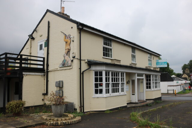
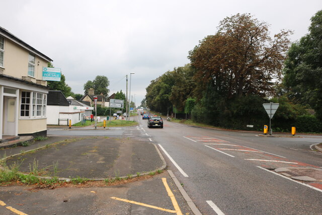
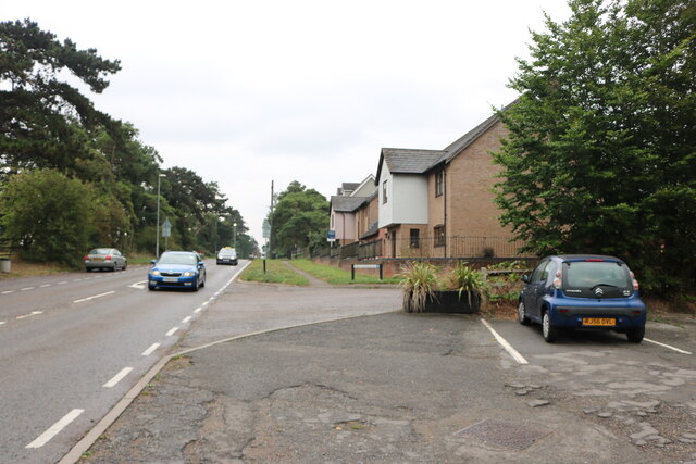
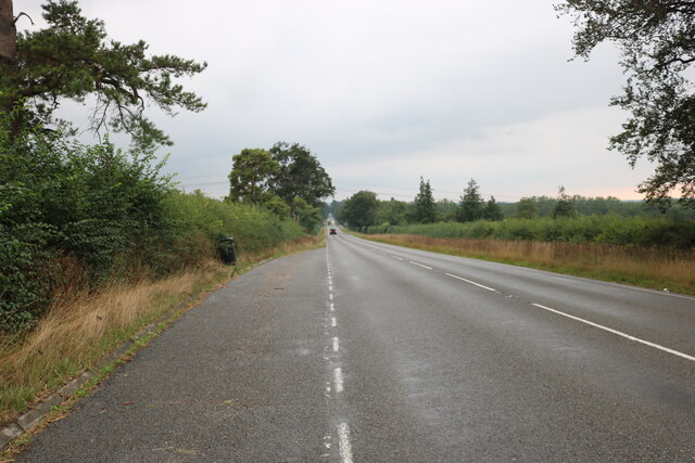
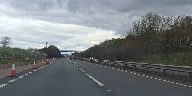
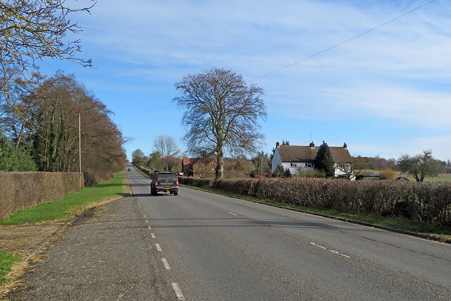
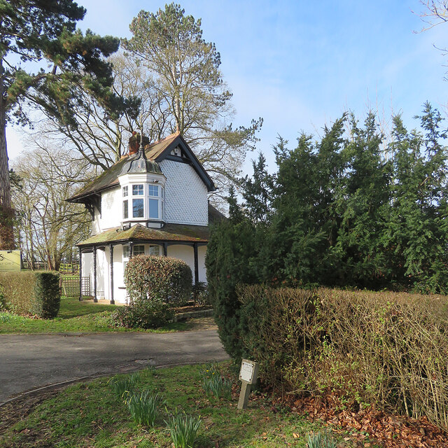
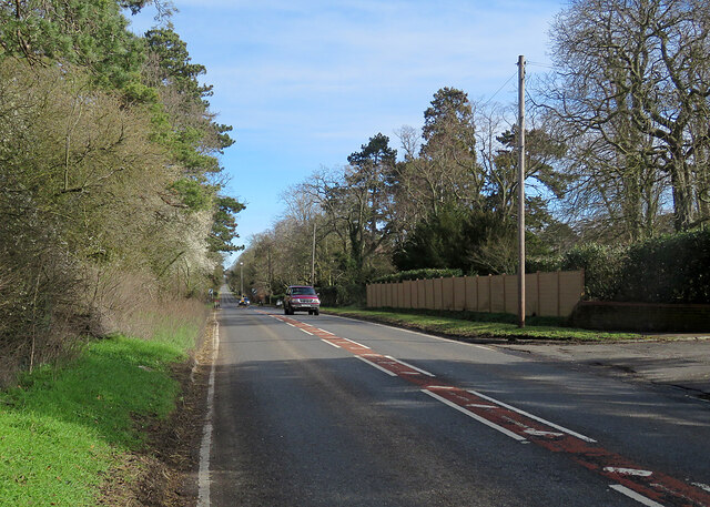
Station Belt Images

Images are sourced within 2km of 52.184923/0.30630666 or Grid Reference TL5756. Thanks to Geograph Open Source API. All images are credited.

Empty pub in Six Mile Bottom The old Green Man is up for sale, but will it be a pub?
Empty pub in Six Mile Bottom
The old Green Man is up for sale, but will it be a pub?
London Road, Six Mile Bottom By the closed Green Man pub.
London Road, Six Mile Bottom
By the closed Green Man pub.
London Road, Six Mile Bottom
Layby on London Road, Six Mile Bottom
Tree on London Road, Six Mile Bottom
London Road, Six Mile Bottom
House on London Road, Six Mile Bottom
Houses on London Road, Six Mile Bottom By the level crossing
Houses on London Road, Six Mile Bottom
By the level crossing
The road to Six Mile Bottom This is the road from West Wratting to Six Mile Bottom, near Lark Hall. The signpost on the right points along a path which cuts a corner and leads to the Weston Colville road (see <a href="https://www.geograph.org.uk/photo/7221136">TL5854 : Footpath through barley</a>).
The road to Six Mile Bottom
This is the road from West Wratting to Six Mile Bottom, near Lark Hall. The signpost on the right points along a path which cuts a corner and leads to the Weston Colville road (see TL5854 : Footpath through barley).
A11 northbound view, approaching Heath Road bridge
On the way to Newmarket The A1304 north-east of Six Mile Bottom.
On the way to Newmarket
The A1304 north-east of Six Mile Bottom.
Six Mile Bottom: The Lodge at Swynford Manor A tile-hung Victorian lodge cottage with a delicate cupola.
Six Mile Bottom: The Lodge at Swynford Manor
A tile-hung Victorian lodge cottage with a delicate cupola.
Six Mile Bottom: London Road The A1304 is the last stretch of the journey from London to Newmarket (ahead) via the M11 and A11.
Six Mile Bottom: London Road
The A1304 is the last stretch of the journey from London to Newmarket (ahead) via the M11 and A11.
A1304 London Road entering Six Mile Bottom The former route of the A11 through Newmarket.
A1304 London Road entering Six Mile Bottom
The former route of the A11 through Newmarket.
Westley Bottom level crossing A do-it-yourself, unstaffed crossing on the former Great Eastern Railway line from Cambridge to Newmarket and on to Ipswich.
Westley Bottom level crossing
A do-it-yourself, unstaffed crossing on the former Great Eastern Railway line from Cambridge to Newmarket and on to Ipswich.
Closed railway station, Six Mile Bottom The railway still operates (Cambridge to Ipswich line) and the platforms are still there but the station has been closed since 1967.
Closed railway station, Six Mile Bottom
The railway still operates (Cambridge to Ipswich line) and the platforms are still there but the station has been closed since 1967.
Footpath by the railway Heading towards Six Mile Bottom, with a spur path to <a href="https://www.geograph.org.uk/photo/1009054">TL5856 : St George's church</a>
Footpath by the railway
Heading towards Six Mile Bottom, with a spur path to TL5856 : St George's church
Footpath by the railway From Six Mile Bottom to Westley Bottom.
Footpath by the railway
From Six Mile Bottom to Westley Bottom.
Show me another place!

Station Belt is located at Grid Ref: TL5756 (Lat: 52.184923, Lng: 0.30630666)

Administrative County: Cambridgeshire

District: South Cambridgeshire

Police Authority: Cambridgeshire

What 3 Words

///sheepish.transmitted.earmarked. Near Bottisham, Cambridgeshire

Related Wikis

Six Mile Bottom railway station

Six Mile Bottom railway station is a disused railway station on the Ipswich to Cambridge line between Dullingham and Fulbourn. It served the village of...

Six Mile Bottom

Six Mile Bottom is a hamlet within the parish of Little Wilbraham, near Cambridge in England. == Etymology == The hamlet was named in 1801, deriving its...

Great Wilbraham

Great Wilbraham is a small village situated in a rural area some seven miles (11 km) to the east of Cambridge, between the edge of an area of low-lying...

Great Wilbraham Preceptory

Great Wilbraham Preceptory is a preceptory in Great and Little Wilbraham, Cambridgeshire. Much of the Church of Saint Nicholas at Great Wilbraham dates...

Little Wilbraham

Little Wilbraham is a village in Cambridgeshire, England, 6 miles (10 km) east of Cambridge between the A1303 and the A11. It is in the district of South...

Fleam Dyke

Fleam Dyke is a linear earthwork between Fulbourn and Balsham in Cambridgeshire, initiated at some timepoint between AD 330 and AD 510. It is three miles...

Cambridgeshire Lodes

The Cambridgeshire Lodes are a series of man-made waterways, believed to be Roman in origin, located in the county of Cambridgeshire, England. Bottisham...

Westley Waterless

Westley Waterless is a small village and civil parish in East Cambridgeshire, England, 5 miles south west of Newmarket. == History == The parish of Westley...

Nearby Amenities

Located within 500m of 52.184923,0.30630666
Railway: level_crossing
Lat/Long: 52.1873175/0.3088368
Crossing Barrier: full
Railway: level_crossing
Lat/Long: 52.1867821/0.3051024
Bus Stop
Tree Tops
Bench: no
Bus: yes
Naptan AtcoCode: 0500SLITW001
Naptan Bearing: NW
Naptan CommonName: Tree Tops
Naptan Indicator: o/s
Naptan Landmark: London Road
Naptan NaptanCode: cmbgajam
Naptan ShortCommonName: Tree Tops
Naptan Street: Little Wilbraham Road
Naptan Verified: no
Public Transport: platform
Shelter: no
Source: naptan_import
Lat/Long: 52.1884587/0.3061145
Bus Stop
Tree Tops
Bench: no
Bus: yes
Naptan AtcoCode: 0500SLITW007
Naptan Bearing: SE
Naptan BusStopType: CUS
Naptan CommonName: Tree Tops
Naptan Crossing: London Road
Naptan Indicator: opp
Naptan Landmark: Tree Tops
Naptan NaptanCode: cmbgjgtd
Naptan ShortCommonName: Tree Tops
Naptan Street: Little Wilbraham Road
Naptan Verified: no
Public Transport: platform
Shelter: no
Source: naptan_import
Lat/Long: 52.1885451/0.3061674
Waste Basket
Lat/Long: 52.1886859/0.3071932
Waste Basket
Lat/Long: 52.1880527/0.3068499
Post Box
Collection Times: Mo-Fr 16:15; Sa 09:15
Operator: Royal Mail
Post Box Design: type_m
Post Box Type: pillar
Ref: CB8 125
Royal Cypher: EIIR
Royal Cypher Wikidata: Q33102113
Source: survey
Lat/Long: 52.188033/0.3068311
Power: pole
Lat/Long: 52.1856992/0.3103586
Power: pole
Lat/Long: 52.1863619/0.3097772
Power: pole
Lat/Long: 52.1880791/0.302264
Power: pole
Lat/Long: 52.1861947/0.3041362
Power: pole
Lat/Long: 52.185685/0.3016415
Power: pole
Lat/Long: 52.1860829/0.3035354
Power: pole
Lat/Long: 52.1865991/0.3005525
Power: pole
Lat/Long: 52.1887862/0.3031116
Power: pole
Lat/Long: 52.1858231/0.3022694
Power: pole
Lat/Long: 52.1859579/0.302897
Power: pole
Lat/Long: 52.1873426/0.301384
Power: pole
Lat/Long: 52.1860429/0.3000289
Frequency: 50
Phases: 1
Power: pole
Source: gps survey
Transformer: distribution
Voltage: 11000
Lat/Long: 52.1870263/0.310605
Power: pole
Lat/Long: 52.185616/0.2995414
Power: pole
Lat/Long: 52.1856585/0.2997846
Six Mile Bottom
Historic Railway: station
Railway: site
Source: NPE
Wikidata: Q7532781
Wikipedia: en:Six Mile Bottom railway station
Lat/Long: 52.1869476/0.3061546
Historic: memorial
Memorial: war_memorial
Lat/Long: 52.1876901/0.3060413
Railway: crossing
Lat/Long: 52.1876339/0.3107353
Post Office
Addr Postcode: CB8 0UQ
Addr Street: Brinkley Road
Ref Pol Id: 90246
Lat/Long: 52.1878824/0.3073531
Turning Circle
Lat/Long: 52.1857906/0.3009369
Six Mile Bottom
Man Made: village_sign
Source: survey
Tourism: artwork
Lat/Long: 52.187991/0.3068011
Turning Circle
Lat/Long: 52.1849701/0.3007346
Power: pole
Lat/Long: 52.1851638/0.3114632
Power: pole
Lat/Long: 52.1846237/0.3125304
The data included in this document is from www.openstreetmap.org. The data is made available under ODbL.

Have you been to Station Belt?

Leave your review of Station Belt below (or comments, questions and feedback).