Six Mile Bottom
Settlement in Cambridgeshire South Cambridgeshire
England
Six Mile Bottom
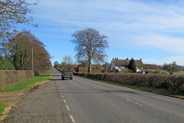
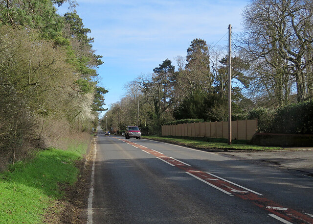
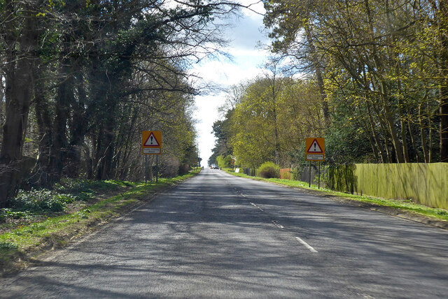
Six Mile Bottom is a small village located in the county of Cambridgeshire, England. Situated approximately six miles southeast of Cambridge, it occupies a rural area with a population of around 120 people.
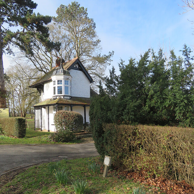
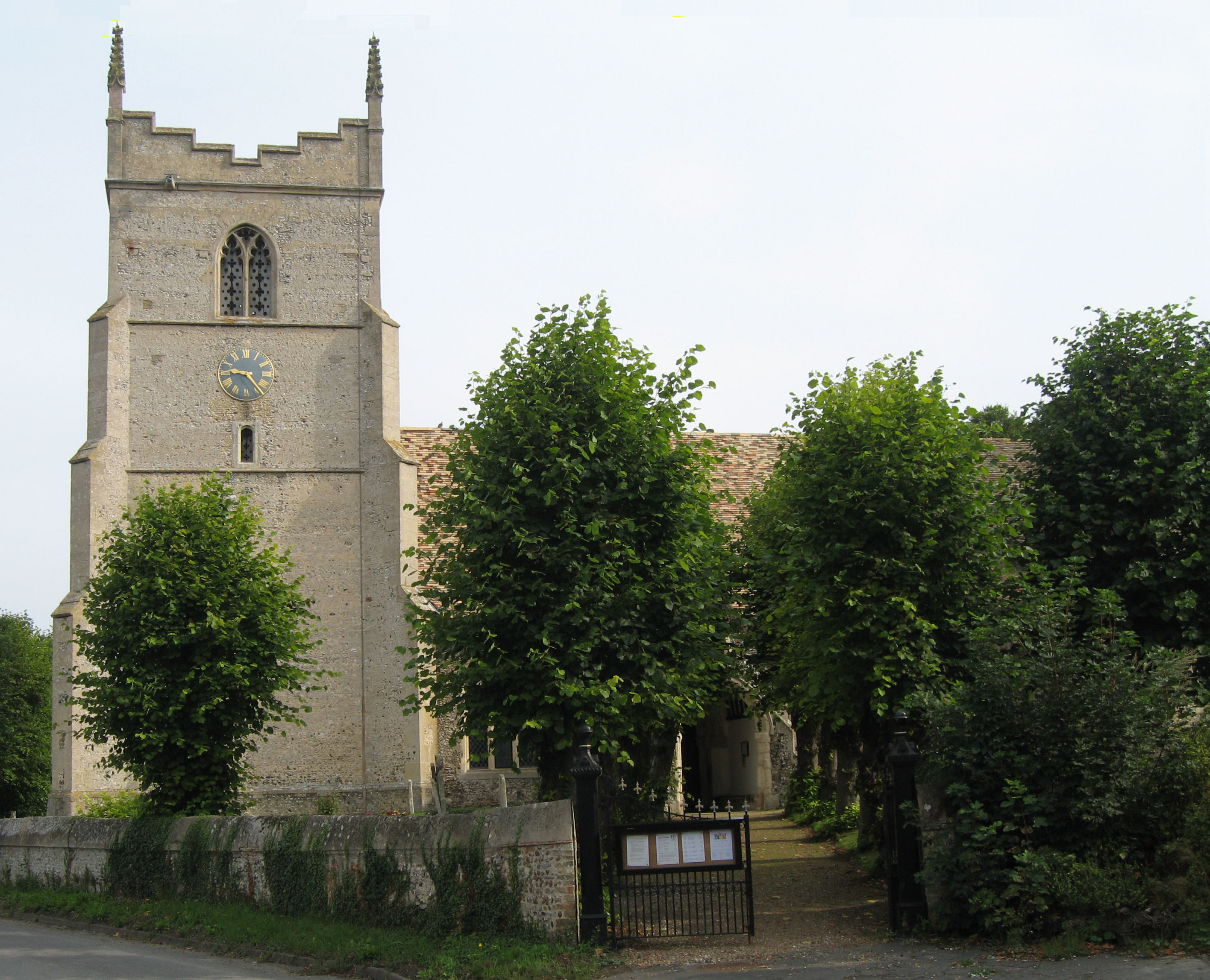
The village is known for its picturesque setting, surrounded by fields and woodlands. It is characterized by its charming thatched cottages, which add to the traditional and quaint atmosphere of the area. The village is also home to a historic church, St. George's Church, which dates back to the 12th century.
Despite its small size, Six Mile Bottom has a strong equestrian tradition. The village is renowned for its horse racing heritage, with the Six Mile Bottom Racecourse hosting regular race meetings since the 18th century. The racecourse is a popular destination for horse racing enthusiasts and attracts visitors from across the region.
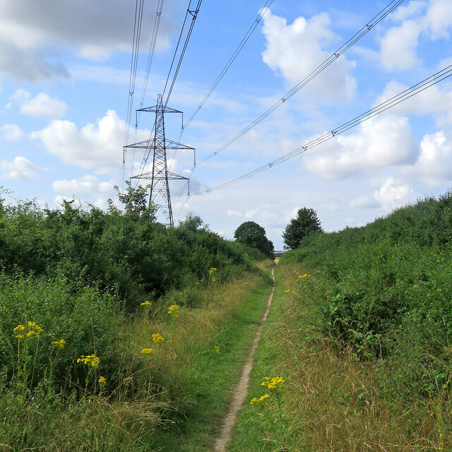
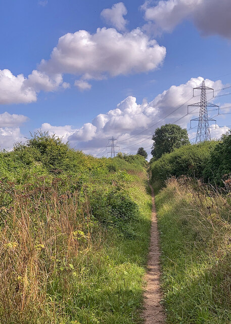
Additionally, the village offers a tranquil and peaceful environment, making it an ideal destination for those seeking a rural retreat. The surrounding countryside provides ample opportunities for outdoor activities such as hiking, cycling, and horse riding.
Although Six Mile Bottom may lack the amenities and facilities of larger towns, its close proximity to Cambridge ensures that residents have access to a wider range of services and entertainment options. The village is well-connected to the city by road, making it a convenient location for commuters or those wishing to explore the cultural and educational offerings of Cambridge.
In summary, Six Mile Bottom is a charming village in Cambridgeshire, known for its scenic beauty, equestrian heritage, and proximity to the city of Cambridge.
If you have any feedback on the listing, please let us know in the comments section below.
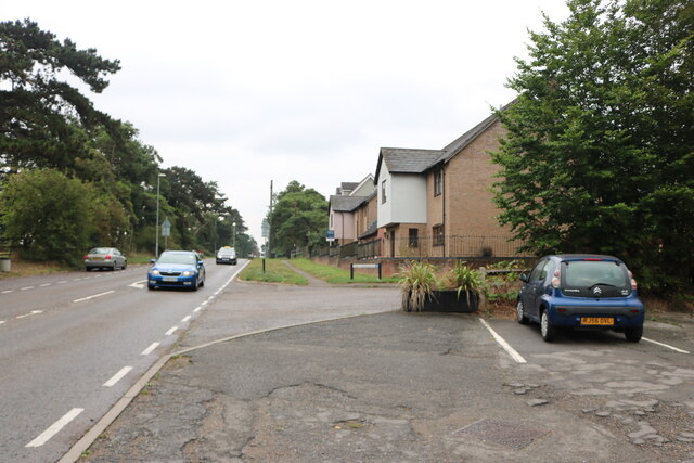
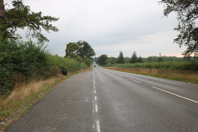
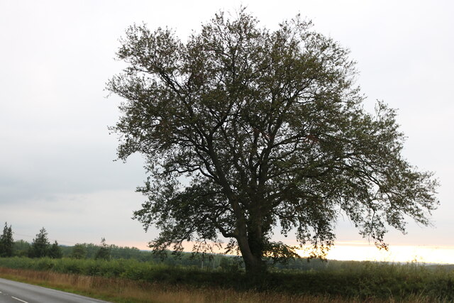
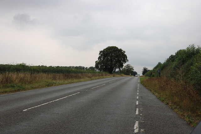
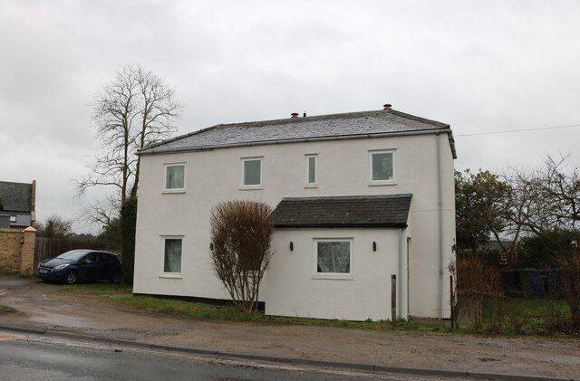
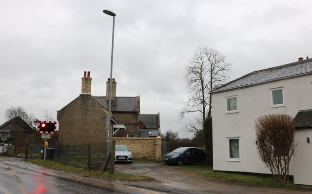
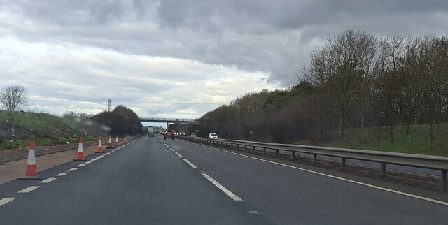
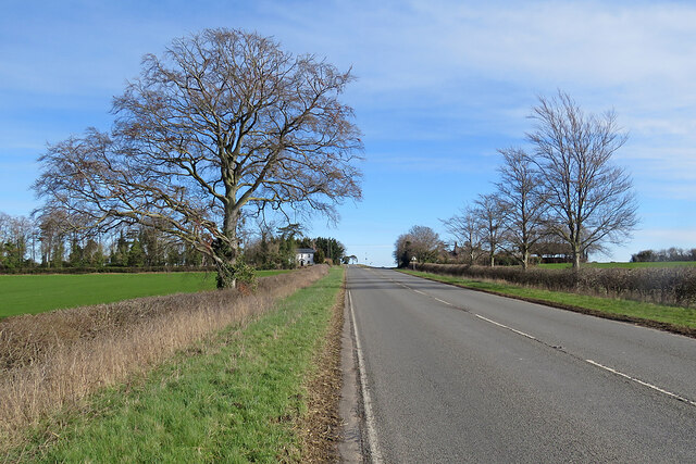
Six Mile Bottom Images
Images are sourced within 2km of 52.18781/0.30765578 or Grid Reference TL5756. Thanks to Geograph Open Source API. All images are credited.
Six Mile Bottom is located at Grid Ref: TL5756 (Lat: 52.18781, Lng: 0.30765578)
Administrative County: Cambridgeshire
District: South Cambridgeshire
Police Authority: Cambridgeshire
What 3 Words
///digests.prone.deflection. Near Bottisham, Cambridgeshire
Nearby Locations
Related Wikis

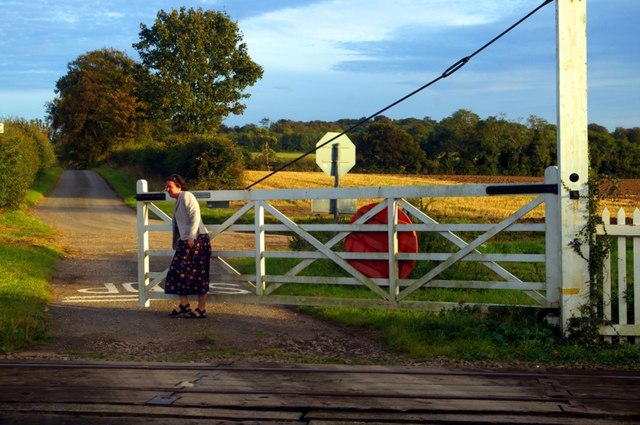
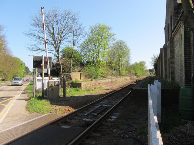
Six Mile Bottom railway station
Six Mile Bottom railway station is a disused railway station on the Ipswich to Cambridge line between Dullingham and Fulbourn. It served the village of...

Six Mile Bottom
Six Mile Bottom is a hamlet within the parish of Little Wilbraham, near Cambridge in England. == Etymology == The hamlet was named in 1801, deriving its...

Great Wilbraham
Great Wilbraham is a small village situated in a rural area some seven miles (11 km) to the east of Cambridge, between the edge of an area of low-lying...
Great Wilbraham Preceptory
Great Wilbraham Preceptory is a preceptory in Great and Little Wilbraham, Cambridgeshire. Much of the Church of Saint Nicholas at Great Wilbraham dates...

Little Wilbraham
Little Wilbraham is a village in Cambridgeshire, England, 6 miles (10 km) east of Cambridge between the A1303 and the A11. It is in the district of South...

Fleam Dyke
Fleam Dyke is a linear earthwork between Fulbourn and Balsham in Cambridgeshire, initiated at some timepoint between AD 330 and AD 510. It is three miles...

Westley Waterless
Westley Waterless is a small village and civil parish in East Cambridgeshire, England, 5 miles south west of Newmarket. == History == The parish of Westley...

Dullingham railway station
Dullingham is a railway station that serves the village of Dullingham in Cambridgeshire, England. It is about 1 mile (1.6 km) north-west of the centre...
Nearby Amenities
Located within 500m of 52.18781,0.30765578Have you been to Six Mile Bottom?
Leave your review of Six Mile Bottom below (or comments, questions and feedback).