Beech Belt
Wood, Forest in Cambridgeshire South Cambridgeshire
England
Beech Belt
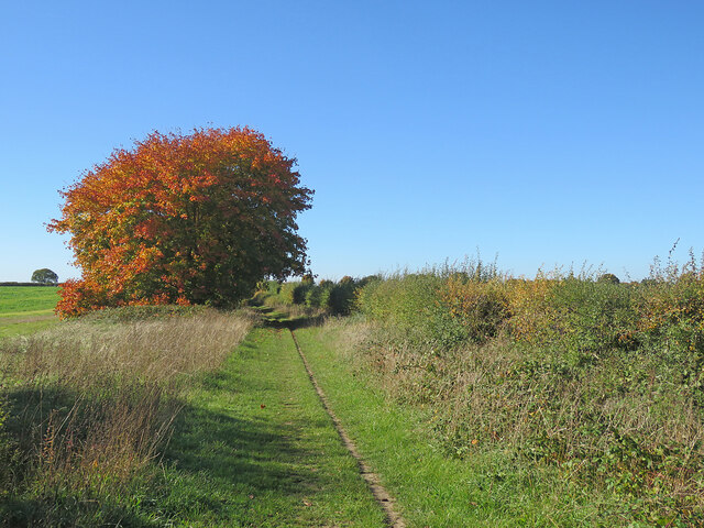
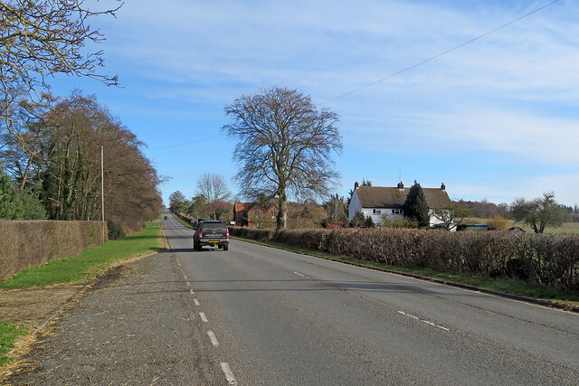
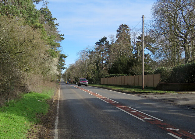
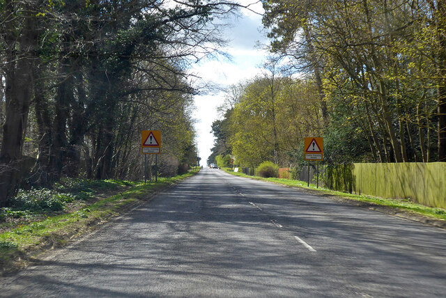
Beech Belt, located in Cambridgeshire, is a woodland area known for its dense population of beech trees. This forested region covers a significant portion of the county and is a popular destination for nature enthusiasts and hikers alike.
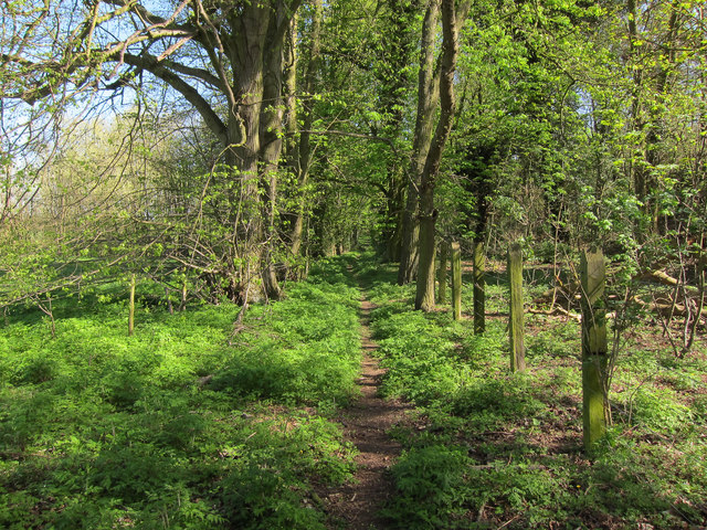
The beech trees that dominate the landscape of Beech Belt are known for their tall stature, smooth gray bark, and vibrant green foliage. These majestic trees create a dense canopy that provides ample shade, making it an ideal habitat for a variety of plant and animal species.
The forest floor of Beech Belt is covered in a thick layer of leaf litter, which creates a rich and fertile soil. This environment supports a diverse range of flora, including bluebells, wood anemones, and primroses, which bloom during the spring months, adding a burst of color to the woodland.
The wildlife in Beech Belt is abundant and varied. The forest is home to a wide array of bird species, including woodpeckers, owls, and songbirds. Mammals such as deer, foxes, and badgers can also be spotted throughout the woodland. In addition, the forest provides a habitat for numerous insects and small creatures, contributing to the overall biodiversity of the area.
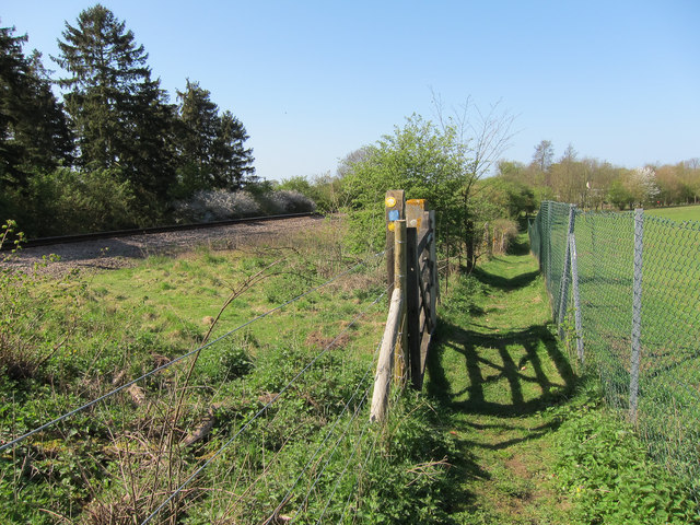
Beech Belt offers several walking trails and paths for visitors to explore the natural beauty of the forest. These trails wind through the dense woods, providing opportunities for peaceful walks and a chance to observe the local wildlife. The tranquil atmosphere and picturesque scenery make Beech Belt a beloved destination for nature lovers and those seeking a peaceful retreat.
If you have any feedback on the listing, please let us know in the comments section below.
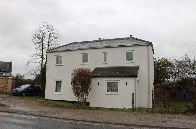
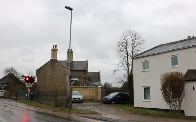
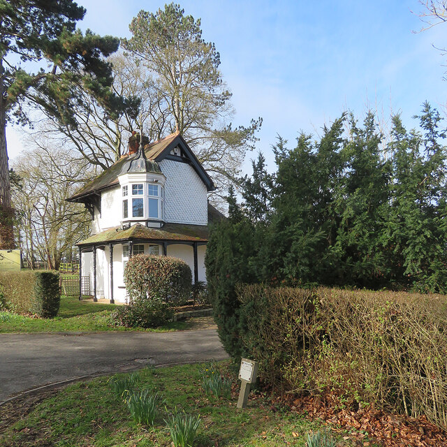
Beech Belt Images
Images are sourced within 2km of 52.188539/0.29655969 or Grid Reference TL5756. Thanks to Geograph Open Source API. All images are credited.


Beech Belt is located at Grid Ref: TL5756 (Lat: 52.188539, Lng: 0.29655969)
Administrative County: Cambridgeshire
District: South Cambridgeshire
Police Authority: Cambridgeshire
What 3 Words
///scribbled.pedicure.pausing. Near Bottisham, Cambridgeshire
Nearby Locations
Related Wikis

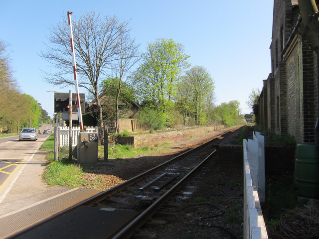
Six Mile Bottom railway station
Six Mile Bottom railway station is a disused railway station on the Ipswich to Cambridge line between Dullingham and Fulbourn. It served the village of...

Six Mile Bottom
Six Mile Bottom is a hamlet within the parish of Little Wilbraham, near Cambridge in England. == Etymology == The hamlet was named in 1801, deriving its...

Great Wilbraham
Great Wilbraham is a small village situated in a rural area some seven miles (11 km) to the east of Cambridge, between the edge of an area of low-lying...
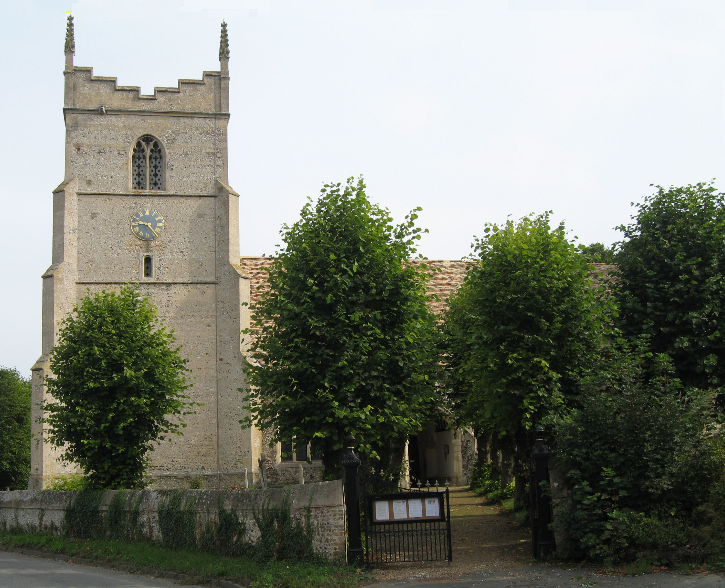
Great Wilbraham Preceptory
Great Wilbraham Preceptory is a preceptory in Great and Little Wilbraham, Cambridgeshire. Much of the Church of Saint Nicholas at Great Wilbraham dates...
Nearby Amenities
Located within 500m of 52.188539,0.29655969Have you been to Beech Belt?
Leave your review of Beech Belt below (or comments, questions and feedback).