The Park

Wood, Forest in Essex Brentwood

England

The Park

A12 Brentwood bypass westbound: approaching bridge under the A128 The houses to the right are on Hurstwood Avenue, part of which runs parallel to the top of the A12 cutting.
A12 Brentwood bypass westbound: approaching bridge under the A128 Credit: Christopher Hilton

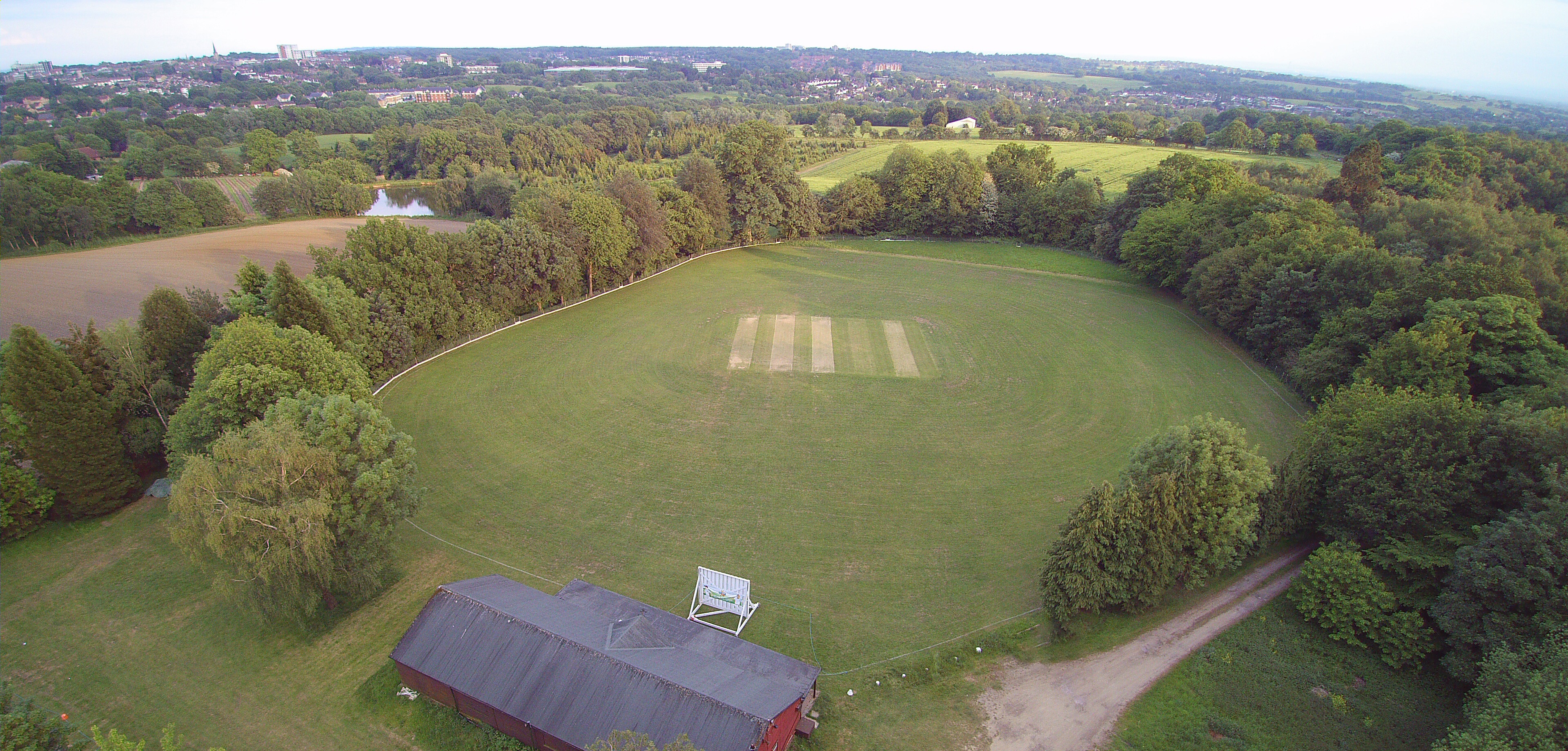
The Park, Essex, also known as Wood or Forest, is a serene and picturesque area located in the county of Essex, England. Spanning approximately 100 acres, this natural park is renowned for its lush greenery, dense forests, and diverse wildlife.

The Park is characterized by its ancient woodlands, which are believed to date back hundreds of years. These woodlands are home to a wide variety of trees, including oak, beech, and chestnut, creating a stunning and vibrant landscape throughout the year. The trees provide a habitat for numerous species of birds, such as woodpeckers and owls, making it a popular spot for birdwatching enthusiasts.

Visitors to The Park can enjoy a peaceful and tranquil atmosphere, perfect for those seeking a break from the hustle and bustle of city life. The park offers a network of well-maintained trails, allowing visitors to explore the area on foot or by bike. These trails wind their way through the woods, offering breathtaking views and opportunities to spot wildlife along the way.

Additionally, The Park boasts a range of amenities to enhance visitors' experiences. There are picnic areas where families and friends can enjoy a leisurely lunch surrounded by nature. The park also has designated areas for outdoor activities, such as playgrounds for children, making it a popular destination for families.

With its natural beauty and diverse wildlife, The Park, Essex is a haven for nature lovers and outdoor enthusiasts alike. Its tranquil atmosphere and stunning scenery make it an ideal destination for those looking to escape into nature and immerse themselves in the beauty of the Essex countryside.

If you have any feedback on the listing, please let us know in the comments section below.
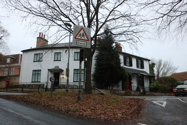
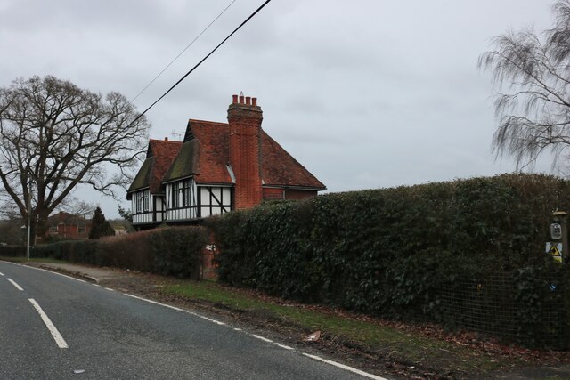
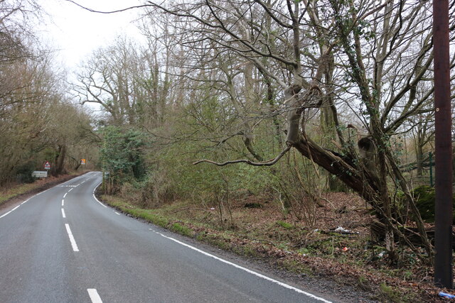
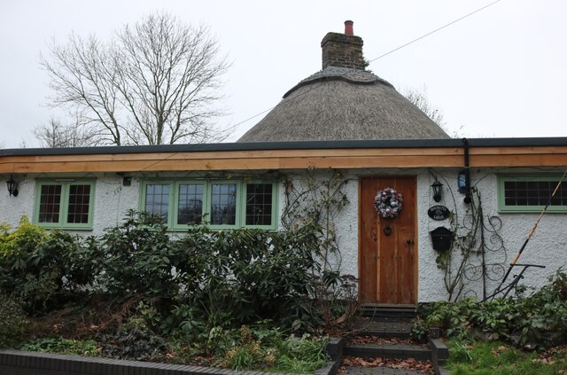
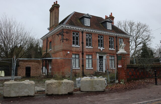
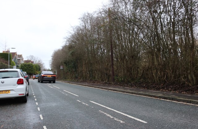
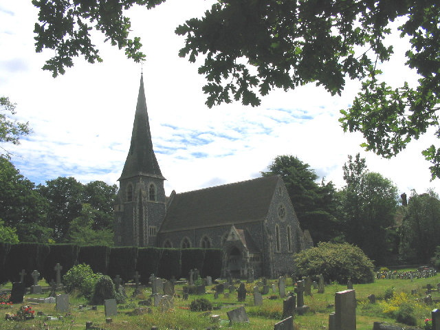
The Park Images

Images are sourced within 2km of 51.630646/0.27320927 or Grid Reference TQ5794. Thanks to Geograph Open Source API. All images are credited.

A12 Brentwood bypass westbound: approaching bridge under the A128 The houses to the right are on Hurstwood Avenue, part of which runs parallel to the top of the A12 cutting.
A12 Brentwood bypass westbound: approaching bridge under the A128
The houses to the right are on Hurstwood Avenue, part of which runs parallel to the top of the A12 cutting.
Houses in South Weald On the corner of Weald Road and Wigley Bush Lane
Houses in South Weald
On the corner of Weald Road and Wigley Bush Lane
Tudor house on Weald Road, St Vincent's Hamlet
Weald Road entering South Weald
Thatched bungalow on Weald Road, South Weald
Derelict pub in South Weald This was the Tower Arms, and has been empty since soon after 2012.
Derelict pub in South Weald
This was the Tower Arms, and has been empty since soon after 2012.
House on Weald Road, South Weald
Weald Road, Brentwood
A12 Brentwood bypass westbound, approaching M25 The A12 is a 129 mile long trunk road from London to Great Yarmouth. It runs through Greater London, Essex, Suffolk and Norfolk. It passes by Brentwood, Colchester and Ipswich as well as passing through Lowestoft.
<span class="nowrap"><a title="http://www.sabre-roads.org.uk/wiki/index.php?title=A12" rel="nofollow ugc noopener" href="http://www.sabre-roads.org.uk/wiki/index.php?title=A12">Link</a><img style="margin-left:2px;" alt="External link" title="External link - shift click to open in new window" src="https://s1.geograph.org.uk/img/external.png" width="10" height="10"/></span> 
Wikipedia: <span class="nowrap"><a title="http://en.wikipedia.org/wiki/A12_road_(England)" rel="nofollow ugc noopener" href="http://en.wikipedia.org/wiki/A12_road_(England)">Link</a><img style="margin-left:2px;" alt="External link" title="External link - shift click to open in new window" src="https://s1.geograph.org.uk/img/external.png" width="10" height="10"/></span>
A12 Brentwood bypass westbound, approaching M25
The A12 is a 129 mile long trunk road from London to Great Yarmouth. It runs through Greater London, Essex, Suffolk and Norfolk. It passes by Brentwood, Colchester and Ipswich as well as passing through Lowestoft. LinkExternal link Wikipedia: LinkExternal link
Weald Country Park, Brentwood, Essex
St. Vincents Hamlet, Brentwood, Essex
South Weald near Brentwood, Essex This village contains a diverse range of building styles and still retains the 'village atmosphere'.
South Weald near Brentwood, Essex
This village contains a diverse range of building styles and still retains the 'village atmosphere'.
Coxtie Green, near Brentwood, Essex Crossroads at the village centre with the White Horse Public House to right of picture.
Coxtie Green, near Brentwood, Essex
Crossroads at the village centre with the White Horse Public House to right of picture.
Almshouses, South Weald, Essex Situated in Wigley Bush Lane and were built for the poor of the parish in 1563.
Almshouses, South Weald, Essex
Situated in Wigley Bush Lane and were built for the poor of the parish in 1563.
The Tower Arms Public House, South Weald, Essex
St. Peters Church, South Weald, Essex A Grade 2* listed building which originally dates back to Norman times but was rebuilt in 1869 to the existing plan. The tower is 16th century.
St. Peters Church, South Weald, Essex
A Grade 2* listed building which originally dates back to Norman times but was rebuilt in 1869 to the existing plan. The tower is 16th century.
Derelict timber barn, South Weald, Essex Next to The Towers PH, is this lovely old black weather-boarded timber framed barn which looks ready to completely collapse.
Derelict timber barn, South Weald, Essex
Next to The Towers PH, is this lovely old black weather-boarded timber framed barn which looks ready to completely collapse.
Bentley Church, Mores Lane, Bentley, nr Brentwood, Essex
Show me another place!

The Park is located at Grid Ref: TQ5794 (Lat: 51.630646, Lng: 0.27320927)

Administrative County: Essex

District: Brentwood

Police Authority: Essex

What 3 Words

///life.these.recall. Near Brentwood, Essex

Nearby Locations

The Park The Forest

Related Wikis

South Weald Camp

South Weald Camp was a hillfort based in South Weald, Brentwood, Essex, England. Roughly circular in plan, the fort covered 2.8 hectares (6.9 acres), with...

Weald Country Park

Weald Country Park is a 700-year-old, 500 acre (2 kmĀ²) country park in South Weald in the borough of Brentwood in the English county of Essex. It is on...

South Weald

South Weald is a mainly farmland and park settlement and former civil parish, on the western edge of Brentwood, in the Brentwood district, in Essex, England...

Trinity Church (Brentwood)

Trinity Church (formerly Peniel Pentecostal Church) is a church in Pilgrims Hatch in England. The church was founded by Michael Reid, who served as pastor...

Pilgrims Hatch

Pilgrims Hatch is a residential suburb of Brentwood, Essex, in the east of England. There is a borough council ward bearing the name 'Pilgrims Hatch' which...

Coxtie Green

Coxtie Green is a small settlement in the Borough of Brentwood in Essex, England.

Phoenix FM

Phoenix FM is a community radio station serving the areas of Brentwood and Billericay, England on 98.0FM and online, covering an area of over 140,000 people...

Brentwood Town F.C.

Brentwood Town Football Club is a football club based in Brentwood, Essex, England. They are currently members of the Isthmian League North Division and...

Nearby Amenities

Located within 500m of 51.630646,0.27320927
Weald Country Park
Leisure: park
Source: OS_OpenData_StreetView
Wikidata: Q2553223
Lat/Long: 51.6293631/0.268842
Quicks Plantation
Leaf Cycle: deciduous
Leaf Type: broadleaved
Natural: wood
Lat/Long: 51.6326275/0.2681402
Tower Plantation
Leaf Cycle: deciduous
Leaf Type: broadleaved
Natural: wood
Lat/Long: 51.6335551/0.2699895
Foxdown Wood
Leaf Cycle: deciduous
Leaf Type: broadleaved
Natural: wood
Lat/Long: 51.6323492/0.2713905
The Forest
Leaf Cycle: deciduous
Leaf Type: broadleaved
Natural: wood
Lat/Long: 51.6302158/0.2685325
Langton's Wood
Leaf Cycle: deciduous
Leaf Type: broadleaved
Natural: wood
Lat/Long: 51.6323376/0.2759298
The data included in this document is from www.openstreetmap.org. The data is made available under ODbL.

Have you been to The Park?

Leave your review of The Park below (or comments, questions and feedback).