Alder Shaw
Wood, Forest in Essex Brentwood
England
Alder Shaw
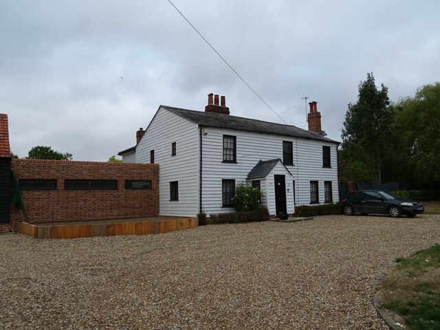
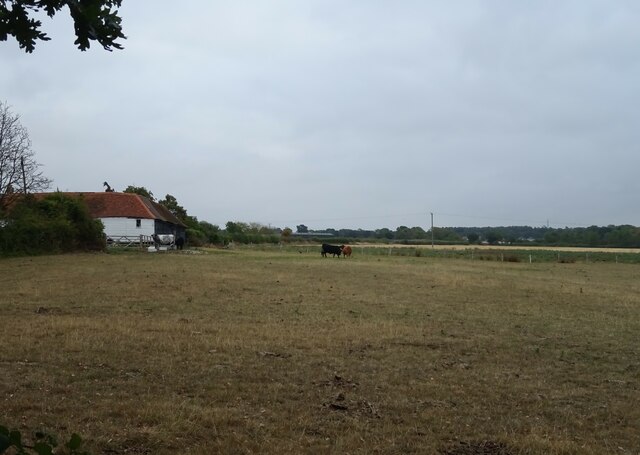
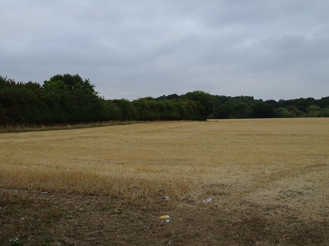
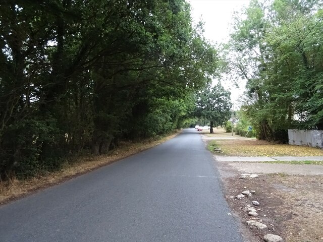
Alder Shaw, Essex, also known as Wood or Forest of Alder Shaw, is a picturesque village located in the county of Essex, England. Situated amidst the beautiful landscapes of the Essex countryside, the village is renowned for its abundant alder trees that line the shaw (a small wood or thicket).
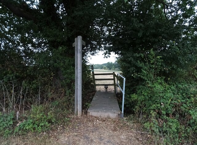
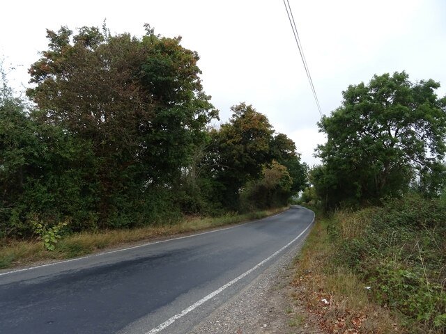
The village is characterized by its tranquil and rural atmosphere, making it a popular destination for nature lovers and those seeking a peaceful retreat. The surrounding woodlands provide ample opportunities for hiking, birdwatching, and other outdoor activities.
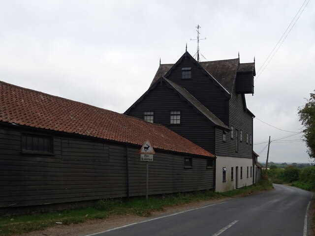
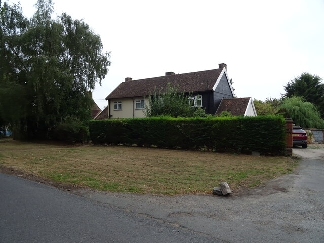
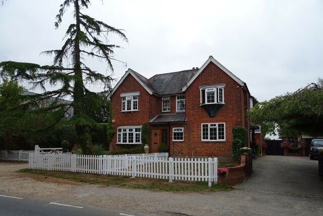
Alder Shaw boasts a close-knit community, with a population of approximately 500 residents. The village is known for its friendly and welcoming inhabitants, who take great pride in their community and its natural surroundings. The village center features a charming array of historic cottages and buildings, some of which date back several centuries.
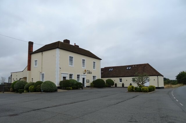
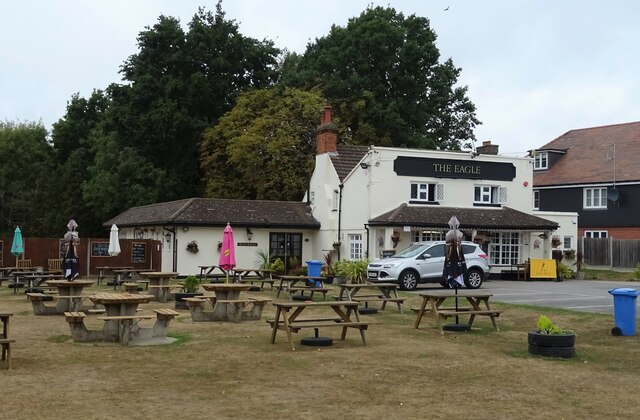
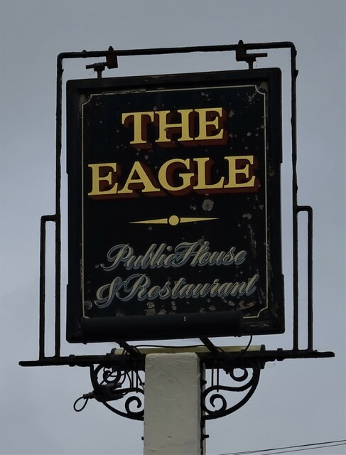
Despite its small size, Alder Shaw offers a range of amenities for its residents. These include a local pub, a village hall, a primary school, and a few small shops and businesses. The village also benefits from excellent transport links, with easy access to nearby towns and cities.
Overall, Alder Shaw, Essex is a captivating village that combines natural beauty with a strong sense of community. It provides a peaceful and idyllic setting for both residents and visitors, offering a slice of rural charm in the heart of Essex.
If you have any feedback on the listing, please let us know in the comments section below.
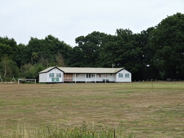
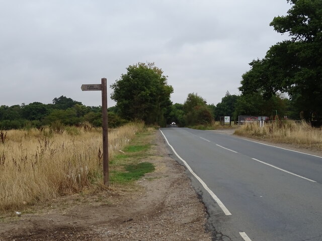
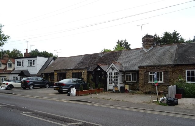
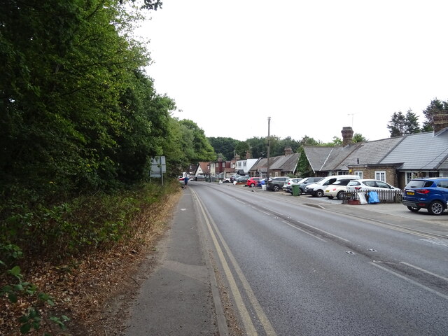
Alder Shaw Images
Images are sourced within 2km of 51.658064/0.25746207 or Grid Reference TQ5697. Thanks to Geograph Open Source API. All images are credited.
Alder Shaw is located at Grid Ref: TQ5697 (Lat: 51.658064, Lng: 0.25746207)
Administrative County: Essex
District: Brentwood
Police Authority: Essex
What 3 Words
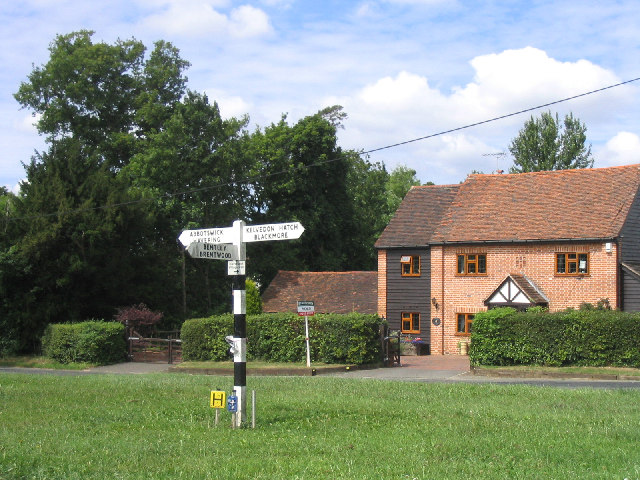
///boats.scale.saying. Near Kelvedon Hatch, Essex
Nearby Locations
Related Wikis

Navestock
Navestock is a civil parish in the Borough of Brentwood in south Essex, in the East of England region of the United Kingdom. It is located approximately...
Navestock Side
Navestock Side is a hamlet near the A128 road, in the Navestock civil parish of the Brentwood District, in the county of Essex, England. It is about three...

Trinity School, Brentwood
Trinity School (formerly Peniel Academy) was an independent school in Essex, England. The school was located in Brentwood and was closely linked to Trinity...
Abbotswick
Abbotswick (or Abbotswick Hall) at Navestock Side, in the English county of Essex, is a small country house standing in a well-timbered garden with a small...

St Nicholas Church, Kelvedon Hatch
St Nicholas Church is the Church of England parish church in the Essex village of Kelvedon Hatch. It was first recorded around 1254, when the rectory of...

Kelvedon Hatch Secret Nuclear Bunker
The Kelvedon Hatch Secret Nuclear Bunker at Kelvedon Hatch, in the Borough of Brentwood in the English county of Essex, is a large underground bunker maintained...
Kelvedon Hatch
Kelvedon Hatch is a village and civil parish in the Borough of Brentwood in south Essex, England. It is situated just north of Pilgrims Hatch, approximately...

The Coppice, Kelvedon Hatch
The Coppice, Kelvedon Hatch is a 9.4-hectare (23-acre) biological Site of Special Scientific Interest in Kelvedon Hatch in Essex.The site is an ancient...
Nearby Amenities
Located within 500m of 51.658064,0.25746207Have you been to Alder Shaw?
Leave your review of Alder Shaw below (or comments, questions and feedback).