Doddinghurst Common
Settlement in Essex Brentwood
England
Doddinghurst Common
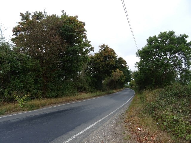
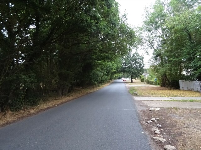
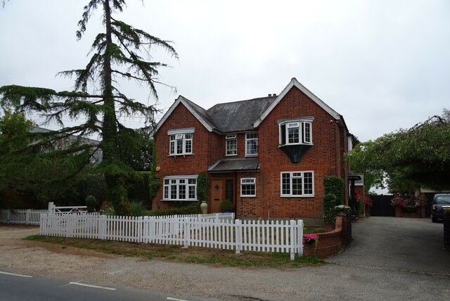
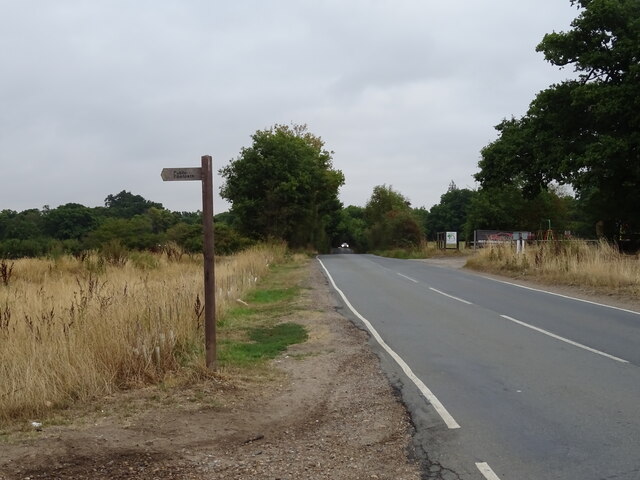
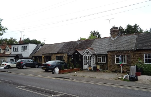
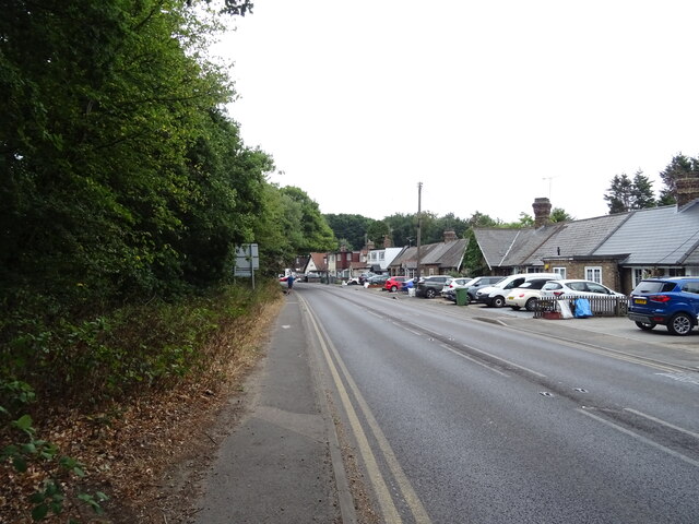
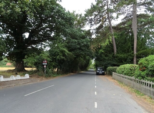
Doddinghurst Common is a picturesque and historic area located in Essex, England. Covering an area of approximately 15 hectares, it is known for its rich biodiversity, tranquil ambiance, and natural beauty. The common is situated within the village of Doddinghurst, near Brentwood, and is easily accessible from the nearby A128 road.
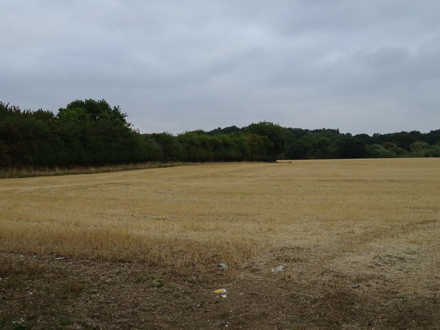
This open space is characterized by its diverse range of habitats, including ancient woodland, heathland, and grassland. The woodlands are predominantly composed of oak and hornbeam trees, providing a serene environment for nature enthusiasts and walkers alike. A variety of bird species, such as woodpeckers and owls, can be spotted within these woodlands, making it a haven for birdwatchers.
Doddinghurst Common also boasts a charming pond, which adds to its scenic allure. The pond attracts various water-based wildlife, including frogs, newts, and a variety of aquatic plants. Furthermore, the common is home to an array of wildflowers during the warmer months, such as bluebells and orchids, creating a vibrant and colorful display.
This historic site holds great cultural significance, as it was once a part of a larger medieval deer park. Remnants of the park's boundaries can still be seen today, adding an element of historical intrigue to the common. Additionally, there are traces of ancient ridge and furrow patterns, providing evidence of the area's agricultural past.
Overall, Doddinghurst Common offers a peaceful retreat for visitors, allowing them to immerse themselves in nature and experience the beauty of the Essex countryside. Whether it is for a leisurely stroll, birdwatching, or simply enjoying the tranquility, this natural gem is a must-visit destination in the area.
If you have any feedback on the listing, please let us know in the comments section below.
Doddinghurst Common Images
Images are sourced within 2km of 51.6553/0.26786455 or Grid Reference TQ5697. Thanks to Geograph Open Source API. All images are credited.

Doddinghurst Common is located at Grid Ref: TQ5697 (Lat: 51.6553, Lng: 0.26786455)
Administrative County: Essex
District: Brentwood
Police Authority: Essex
What 3 Words
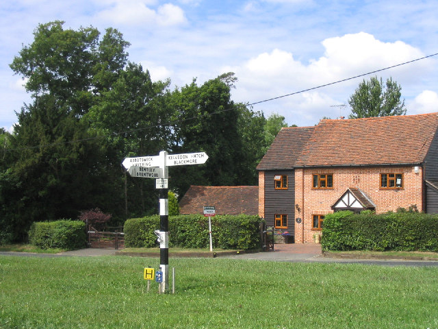
///help.armed.turkey. Near Kelvedon Hatch, Essex
Nearby Locations
Related Wikis

Navestock
Navestock is a civil parish in the Borough of Brentwood in south Essex, in the East of England region of the United Kingdom. It is located approximately...

Trinity School, Brentwood
Trinity School (formerly Peniel Academy) was an independent school in Essex, England. The school was located in Brentwood and was closely linked to Trinity...
Navestock Side
Navestock Side is a hamlet near the A128 road, in the Navestock civil parish of the Brentwood District, in the county of Essex, England. It is about three...

Kelvedon Hatch
Kelvedon Hatch is a village and civil parish in the Borough of Brentwood in south Essex, England. It is situated just north of Pilgrims Hatch, approximately...
Abbotswick
Abbotswick (or Abbotswick Hall) at Navestock Side, in the English county of Essex, is a small country house standing in a well-timbered garden with a small...
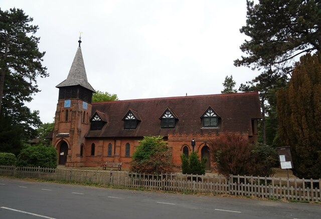
St Nicholas Church, Kelvedon Hatch
St Nicholas Church is the Church of England parish church in the Essex village of Kelvedon Hatch. It was first recorded around 1254, when the rectory of...

The Coppice, Kelvedon Hatch
The Coppice, Kelvedon Hatch is a 9.4-hectare (23-acre) biological Site of Special Scientific Interest in Kelvedon Hatch in Essex.The site is an ancient...
Trinity Church (Brentwood)
Trinity Church (formerly Peniel Pentecostal Church) is a church in Pilgrims Hatch in England. The church was founded by Michael Reid, who served as pastor...
Nearby Amenities
Located within 500m of 51.6553,0.26786455Have you been to Doddinghurst Common?
Leave your review of Doddinghurst Common below (or comments, questions and feedback).