Dodd's Bottom

Settlement in Sussex Wealden

England

Dodd's Bottom

Milepost at Duddleswell, Sussex Located on a bank, opposite the Duddleswell Tea Rooms. 39 miles to London; a long walk!
Milepost at Duddleswell, Sussex Credit: Peter Trimming

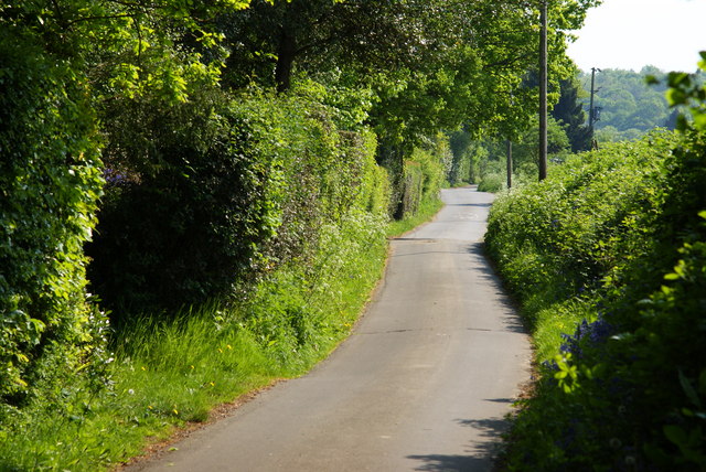
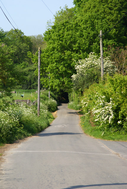
Dodd's Bottom is a small village located in the county of Sussex, England. Situated in the South Downs National Park, this picturesque and secluded settlement is nestled amidst rolling hills, lush green fields, and charming woodlands. The village is renowned for its idyllic countryside setting, offering residents and visitors a tranquil and peaceful retreat from the hustle and bustle of modern life.

Dodd's Bottom is a tight-knit community, with a population of around 200 residents. The village is characterized by its quaint thatched-roof cottages, which exude a traditional English charm. The local church, St. Mary's, is a notable landmark that dates back several centuries and serves as a focal point for community gatherings and events.

Despite its small size, Dodd's Bottom boasts a vibrant and active community life. The village hall hosts regular social gatherings, including dances, fairs, and art exhibitions, fostering a strong sense of camaraderie among its residents. The village also organizes an annual summer festival, attracting visitors from neighboring towns and villages to enjoy live music, local food, and traditional games.

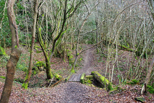
The surrounding countryside offers ample opportunities for outdoor enthusiasts, with numerous walking and cycling trails that showcase the natural beauty of the area. Dodd's Bottom is also home to several farms, where visitors can experience the charm of rural life and purchase fresh produce directly from the source.

Overall, Dodd's Bottom is a hidden gem in Sussex, offering a peaceful and close-knit community, stunning natural landscapes, and a rich cultural heritage.

If you have any feedback on the listing, please let us know in the comments section below.

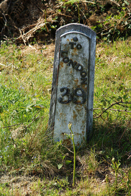
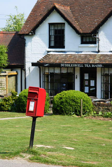
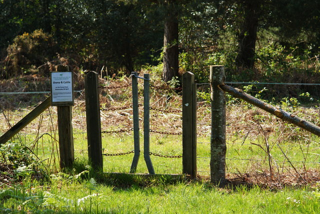
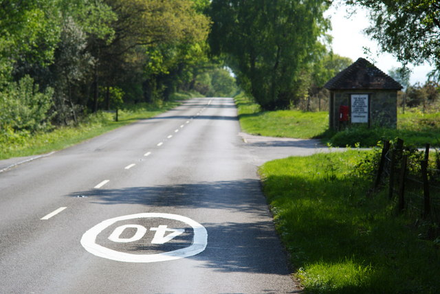
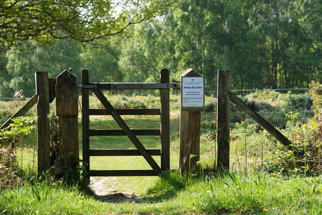
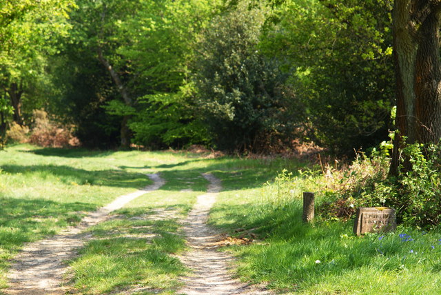
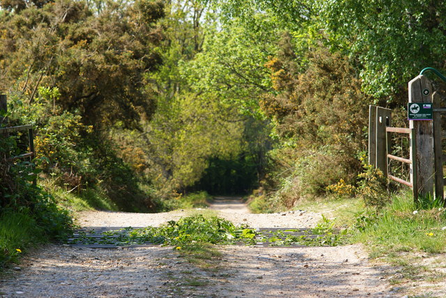
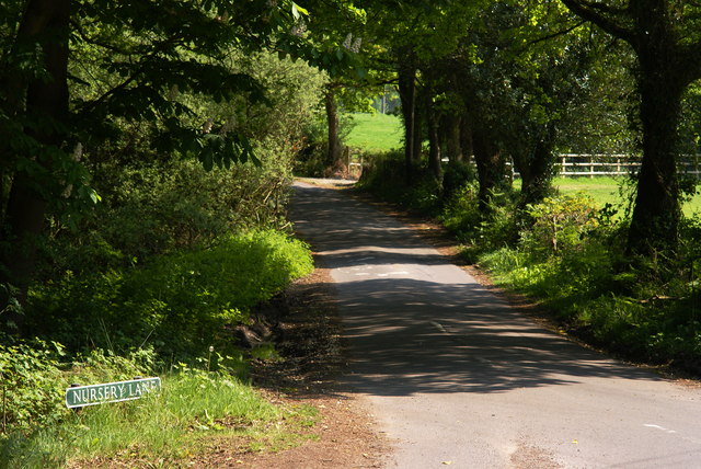
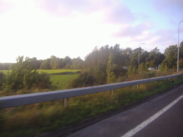
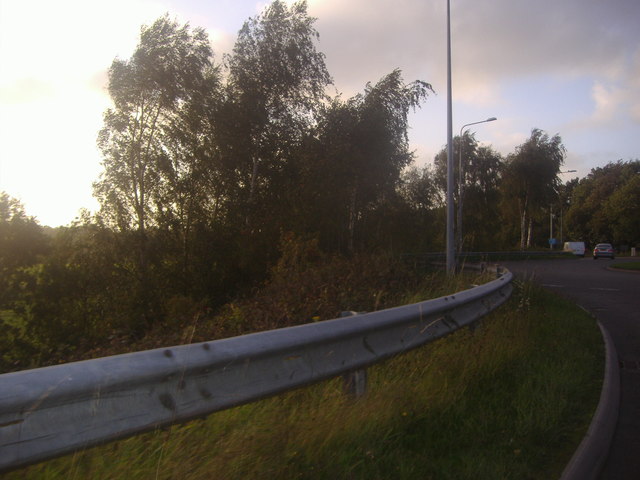
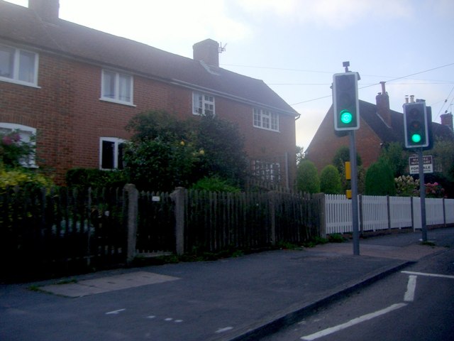
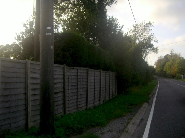
Dodd's Bottom Images

Images are sourced within 2km of 51.021997/0.068139037 or Grid Reference TQ4526. Thanks to Geograph Open Source API. All images are credited.

Milepost at Duddleswell, Sussex Located on a bank, opposite the Duddleswell Tea Rooms. 39 miles to London; a long walk!
Milepost at Duddleswell, Sussex
Located on a bank, opposite the Duddleswell Tea Rooms. 39 miles to London; a long walk!
Postbox at Duddleswell, Sussex Located outside the Duddleswell Tea Rooms.
Postbox at Duddleswell, Sussex
Located outside the Duddleswell Tea Rooms.
Stile Onto the Ashdown Forest, Sussex A useful stile design; especially for those with mobility problems, or with animals.
Stile Onto the Ashdown Forest, Sussex
A useful stile design; especially for those with mobility problems, or with animals.
B2026 at Fairwarp, Sussex In the foreground, the 40 MPH Ashdown Forest speed limit is marked on the road. To the right of picture, a bus shelter can be seen.
B2026 at Fairwarp, Sussex
In the foreground, the 40 MPH Ashdown Forest speed limit is marked on the road. To the right of picture, a bus shelter can be seen.
Gate Onto the Ashdown Forest, Sussex Photographed from the B2026
Gate Onto the Ashdown Forest, Sussex
Photographed from the B2026
Public Footpath at Fairwarp, Sussex Photographed from the B2026.
Public Footpath at Fairwarp, Sussex
Photographed from the B2026.
Public Footpath at Fairwarp, Sussex Looking in the direction of the Ashdown Forest, from the B2026. A sign, to the right of picture, states that riding beyond this point is by permit only.
Public Footpath at Fairwarp, Sussex
Looking in the direction of the Ashdown Forest, from the B2026. A sign, to the right of picture, states that riding beyond this point is by permit only.
B2026 at Fairwarp, Sussex Looking in the direction of the Ashdown Forest. Note the 40 MPH speed limit, marked on the road. Fairwarp Church, hidden behind trees, is located near the centre of picture. The gateway, to the church, can just be seen.
B2026 at Fairwarp, Sussex
Looking in the direction of the Ashdown Forest. Note the 40 MPH speed limit, marked on the road. Fairwarp Church, hidden behind trees, is located near the centre of picture. The gateway, to the church, can just be seen.
Nursery Lane, Fairwarp, Sussex An inviting country lane, seen from the B2026.
Nursery Lane, Fairwarp, Sussex
An inviting country lane, seen from the B2026.
Fairwarp Village Hall, Sussex Photographed from Nursery Lane.
Fairwarp Village Hall, Sussex
Photographed from Nursery Lane.
Nursery Lane, Fairwarp, Sussex A quiet country lane. Out of picture, to the left, a row of houses is hidden by the high hedge.
Nursery Lane, Fairwarp, Sussex
A quiet country lane. Out of picture, to the left, a row of houses is hidden by the high hedge.
Nursery Lane, Fairwarp, Sussex Looking in the direction of Fairwarp village. A row of houses is out of picture, to the right.
Nursery Lane, Fairwarp, Sussex
Looking in the direction of Fairwarp village. A row of houses is out of picture, to the right.
Junction of Clock House Lane and the A22, Nutley
View from the A22 north of Maresfield
Roundabout on the A22 near Maresfield
Stratton car sales, Horney Common
Houses on High Street Nutley
The A22 in Horney Common
Show me another place!

Dodd's Bottom is located at Grid Ref: TQ4526 (Lat: 51.021997, Lng: 0.068139037)

Administrative County: East Sussex

District: Wealden

Police Authority: Sussex

What 3 Words

///natural.unloads.cigar. Near Buxted, East Sussex

Related Wikis

Nutley, East Sussex

Nutley is a village in the Wealden District of East Sussex, England. It lies about 5 mi (8.0 km) north-west of Uckfield, the main road being the A22. Nutley...
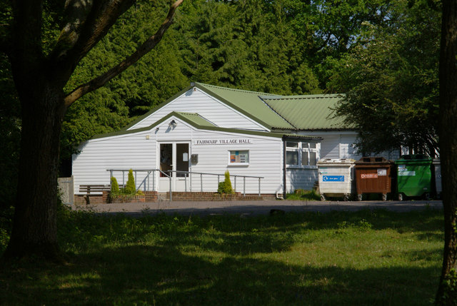
Fairwarp

Fairwarp is a small village within the civil parish of Maresfield in the Wealden district of East Sussex, England. Its nearest town is Uckfield, which...

Rock Wood

Rock Wood is a 10.4-hectare (26-acre) biological Site of Special Scientific Interest north of Uckfield in East Sussex.This ancient wood has several different...

Brickfield Meadow

Brickfield Meadow is a 1.4-hectare (3.5-acre) nature reserve north of Maresfield in East Sussex. It is managed by the Sussex Wildlife Trust.This wildflower...
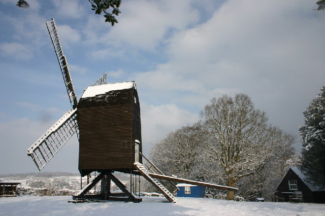
Nutley Windmill

Nutley Windmill is a grade II* listed open trestle post mill at Nutley, East Sussex, England which has been restored to working order. == History == Nutley...

Buxted Park

Buxted Park is an 84.7 hectare (206.16 acre) biological Site of Special Scientific Interest, located near the village of Buxted, East Sussex, England....

Maresfield

Maresfield is a village and civil parish in the Wealden District of East Sussex, England. The village itself lies 1.5 miles (2.4 km) north from Uckfield...

Duddleswell

Duddleswell is a village in the Wealden district, East Sussex in England, United Kingdom.

Nearby Amenities

Located within 500m of 51.021997,0.068139037
Post Box
Operator: Royal Mail
Post Box Type: lamp
Ref: TN22 36D
Royal Cypher: EIIR
Royal Cypher Wikidata: Q33102113
Lat/Long: 51.0231904/0.0635012
Hunters Farm
Addr City: Nutley
Addr Postcode: TN22 3LS
Addr Street: Courtlands
Place: farm
Lat/Long: 51.0189911/0.0632613
Courtlands Farm
Place: farm
Lat/Long: 51.0191154/0.0666261
Dodd's Hill
Place: locality
Lat/Long: 51.0232887/0.0651111
Dodds Bottom
Place: hamlet
Lat/Long: 51.0235663/0.0682622
Dodds Bank
Place: hamlet
Lat/Long: 51.0222182/0.0665832
Little Claylands Farm
Place: farm
Lat/Long: 51.0190969/0.0719207
The data included in this document is from www.openstreetmap.org. The data is made available under ODbL.

Have you been to Dodd's Bottom?

Leave your review of Dodd's Bottom below (or comments, questions and feedback).