Maresfield

Civil Parish in Sussex Wealden

England

Maresfield

Ashdown Forest Garden Centre, Sussex A large garden centre, complete with café (out of picture, to the right).
Ashdown Forest Garden Centre, Sussex Credit: Peter Trimming

Maresfield is a civil parish located in the Wealden district of East Sussex, England. Situated about five miles northwest of Uckfield, it covers an area of approximately 7 square miles. The village itself is nestled in the heart of the Sussex countryside, surrounded by beautiful rolling hills and picturesque landscapes.

Maresfield has a rich history, with evidence of human settlement dating back to prehistoric times. The village is mentioned in the Domesday Book of 1086 and was once home to a medieval manor house. Today, it retains much of its historic charm, with several listed buildings and a traditional village green. The Parish Church of St Bartholomew, dating from the 13th century, is a prominent landmark in the area.

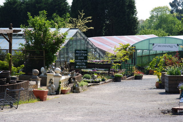
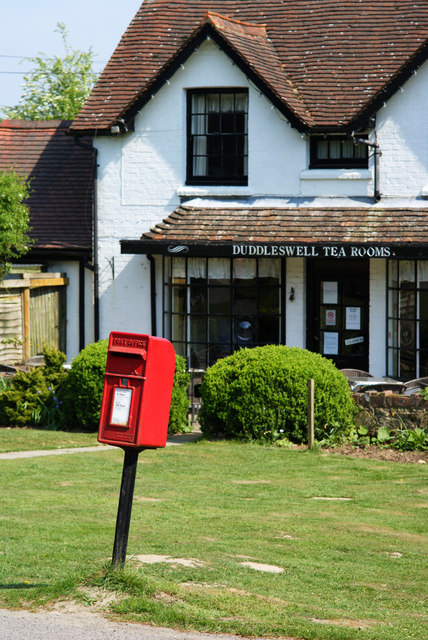
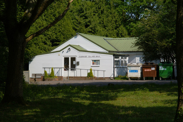
The village offers a range of amenities and services for its residents. These include a primary school, a village hall, a post office, and a few local shops. There are also several pubs and restaurants, providing a welcoming atmosphere and opportunities for socializing.

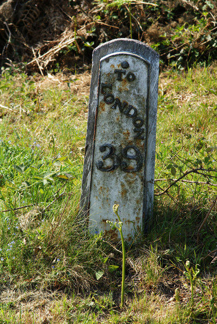
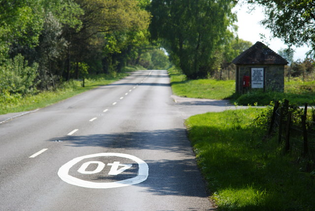
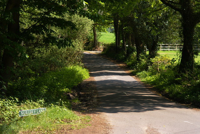
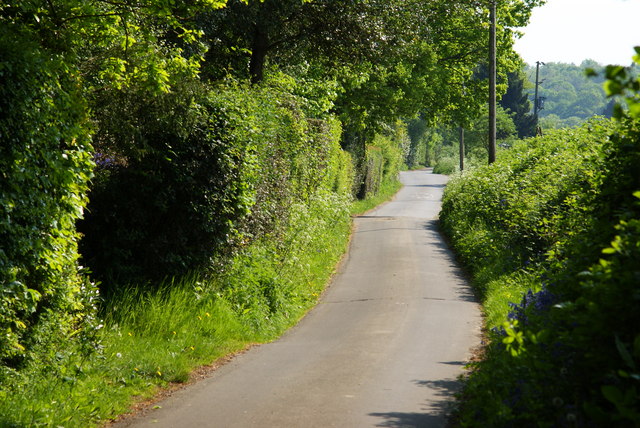
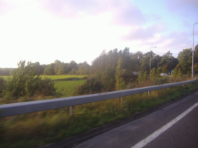
Maresfield is well-connected to other parts of Sussex, with good road links to nearby towns and villages. The A22 runs through the parish, connecting it to East Grinstead and the M25 motorway. The village is also served by regular bus services, providing convenient transportation options for residents and visitors.

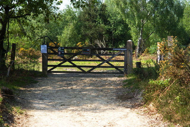
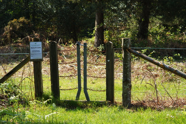
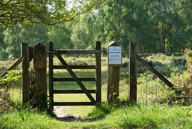
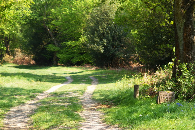
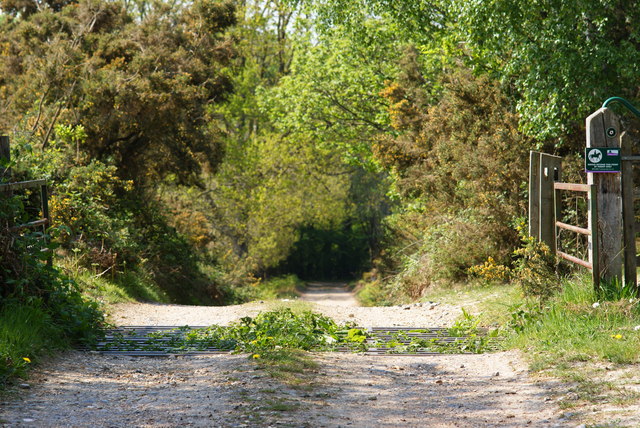
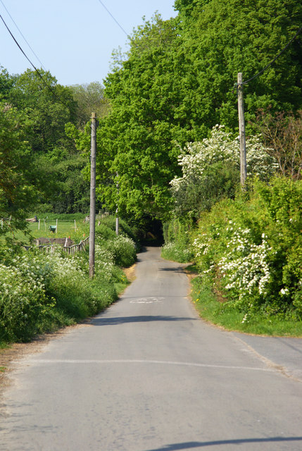
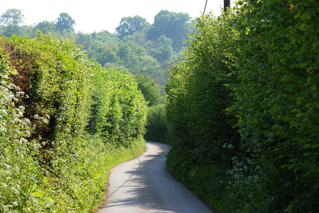
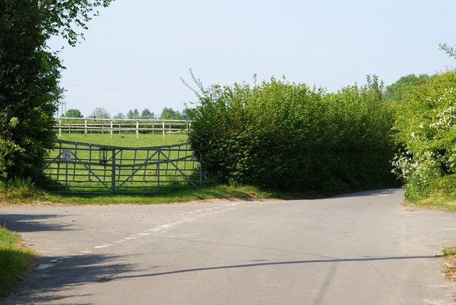
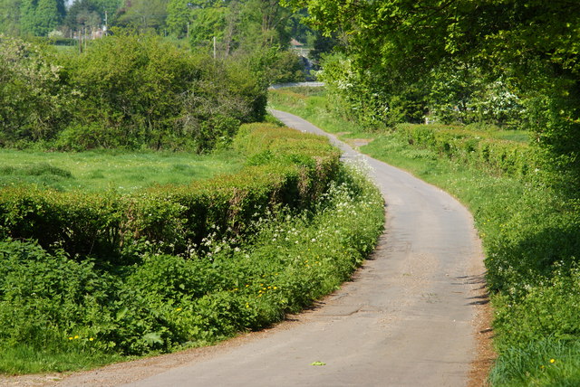
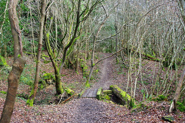
The natural surroundings of Maresfield make it a popular destination for outdoor activities. The area is crisscrossed with footpaths and bridleways, offering opportunities for walking, cycling, and horse riding. The nearby Ashdown Forest, a designated Area of Outstanding Natural Beauty, is a haven for wildlife and a great place for nature lovers to explore.

Overall, Maresfield is a charming rural parish that offers a peaceful and idyllic lifestyle, coupled with a strong sense of community and a wealth of natural beauty.

If you have any feedback on the listing, please let us know in the comments section below.

Maresfield Images

Images are sourced within 2km of 51.021076/0.079928 or Grid Reference TQ4526. Thanks to Geograph Open Source API. All images are credited.

Ashdown Forest Garden Centre, Sussex A large garden centre, complete with café (out of picture, to the right).
Ashdown Forest Garden Centre, Sussex
A large garden centre, complete with café (out of picture, to the right).
Milepost at Duddleswell, Sussex Located on a bank, opposite the Duddleswell Tea Rooms. 39 miles to London; a long walk!
Milepost at Duddleswell, Sussex
Located on a bank, opposite the Duddleswell Tea Rooms. 39 miles to London; a long walk!
Postbox at Duddleswell, Sussex Located outside the Duddleswell Tea Rooms.
Postbox at Duddleswell, Sussex
Located outside the Duddleswell Tea Rooms.
Gateway to the Ashdown Forest, Sussex Photograph taken from the B2026.
Gateway to the Ashdown Forest, Sussex
Photograph taken from the B2026.
Stile Onto the Ashdown Forest, Sussex A useful stile design; especially for those with mobility problems, or with animals.
Stile Onto the Ashdown Forest, Sussex
A useful stile design; especially for those with mobility problems, or with animals.
B2026 at Fairwarp, Sussex In the foreground, the 40 MPH Ashdown Forest speed limit is marked on the road. To the right of picture, a bus shelter can be seen.
B2026 at Fairwarp, Sussex
In the foreground, the 40 MPH Ashdown Forest speed limit is marked on the road. To the right of picture, a bus shelter can be seen.
Gate Onto the Ashdown Forest, Sussex Photographed from the B2026
Gate Onto the Ashdown Forest, Sussex
Photographed from the B2026
Public Footpath at Fairwarp, Sussex Photographed from the B2026.
Public Footpath at Fairwarp, Sussex
Photographed from the B2026.
Public Footpath at Fairwarp, Sussex Looking in the direction of the Ashdown Forest, from the B2026. A sign, to the right of picture, states that riding beyond this point is by permit only.
Public Footpath at Fairwarp, Sussex
Looking in the direction of the Ashdown Forest, from the B2026. A sign, to the right of picture, states that riding beyond this point is by permit only.
B2026 at Fairwarp, Sussex Looking in the direction of the Ashdown Forest. Note the 40 MPH speed limit, marked on the road. Fairwarp Church, hidden behind trees, is located near the centre of picture. The gateway, to the church, can just be seen.
B2026 at Fairwarp, Sussex
Looking in the direction of the Ashdown Forest. Note the 40 MPH speed limit, marked on the road. Fairwarp Church, hidden behind trees, is located near the centre of picture. The gateway, to the church, can just be seen.
Nursery Lane, Fairwarp, Sussex An inviting country lane, seen from the B2026.
Nursery Lane, Fairwarp, Sussex
An inviting country lane, seen from the B2026.
Fairwarp Village Hall, Sussex Photographed from Nursery Lane.
Fairwarp Village Hall, Sussex
Photographed from Nursery Lane.
Nursery Lane, Fairwarp, Sussex A quiet country lane. Out of picture, to the left, a row of houses is hidden by the high hedge.
Nursery Lane, Fairwarp, Sussex
A quiet country lane. Out of picture, to the left, a row of houses is hidden by the high hedge.
Nursery Lane, Fairwarp, Sussex Looking in the direction of Fairwarp village. A row of houses is out of picture, to the right.
Nursery Lane, Fairwarp, Sussex
Looking in the direction of Fairwarp village. A row of houses is out of picture, to the right.
Nursery Lane, Fairwarp, Sussex Looking in the direction of Maresfield. Note the high hedges, either side of this narrow lane.
Nursery Lane, Fairwarp, Sussex
Looking in the direction of Maresfield. Note the high hedges, either side of this narrow lane.
Junction of Nursery Lane and Burrells Lane, Sussex The location is just north of the Maresfield Park estate.
Junction of Nursery Lane and Burrells Lane, Sussex
The location is just north of the Maresfield Park estate.
Nursery Lane, Maresfield, Sussex Photograph taken from beside Nightingale Wood, looking north.
Nursery Lane, Maresfield, Sussex
Photograph taken from beside Nightingale Wood, looking north.
View from the A22 north of Maresfield
Show me another place!

Maresfield is located at Grid Ref: TQ4526 (Lat: 51.021076, Lng: 0.079928)

Administrative County: East Sussex

District: Wealden

Police Authority: Sussex

What 3 Words

///digested.stress.equipping. Near Buxted, East Sussex

Related Wikis

Fairwarp

Fairwarp is a small village within the civil parish of Maresfield in the Wealden district of East Sussex, England. Its nearest town is Uckfield, which...

Brickfield Meadow

Brickfield Meadow is a 1.4-hectare (3.5-acre) nature reserve north of Maresfield in East Sussex. It is managed by the Sussex Wildlife Trust.This wildflower...

Rock Wood

Rock Wood is a 10.4-hectare (26-acre) biological Site of Special Scientific Interest north of Uckfield in East Sussex.This ancient wood has several different...

Nutley, East Sussex

Nutley is a village in the Wealden District of East Sussex, England. It lies about 5 mi (8.0 km) north-west of Uckfield, the main road being the A22. Nutley...

Heron's Ghyll

Heron's Ghyll is a hamlet in the Wealden district of East Sussex. St John the Evangelist Church is a Catholic church in the village. There is a late 19th...

Buxted Park

Buxted Park is an 84.7 hectare (206.16 acre) biological Site of Special Scientific Interest, located near the village of Buxted, East Sussex, England....

St John the Evangelist Church, Heron's Ghyll

St John's Church or St John the Evangelist Church is a Roman Catholic Parish Church in the Heron's Ghyll settlement of Buxted, East Sussex, England. It...

Maresfield

Maresfield is a village and civil parish in the Wealden District of East Sussex, England. The village itself lies 1.5 miles (2.4 km) north from Uckfield...

Nearby Amenities

Located within 500m of 51.021076,0.079928
Boringwheel Mill Farm
Addr City: Nutley
Addr Postcode: TN22 3DU
Addr Street: Cackle Street
Place: farm
Lat/Long: 51.0188893/0.0758502
Toll Farm
Addr City: Nutley
Addr Postcode: TN22 3DU
Addr Street: Cackle Street
Place: farm
Lat/Long: 51.0174028/0.0786853
The data included in this document is from www.openstreetmap.org. The data is made available under ODbL.

Have you been to Maresfield?

Leave your review of Maresfield below (or comments, questions and feedback).