Boringwheel Lake
Lake, Pool, Pond, Freshwater Marsh in Sussex Wealden
England
Boringwheel Lake
Boringwheel Lake is a picturesque freshwater body located in the county of Sussex, in the southern part of England. Situated in a serene and tranquil environment, this lake serves as a popular recreational spot for both locals and tourists alike.
With a surface area of approximately 10 acres, Boringwheel Lake is encompassed by lush greenery and is surrounded by gentle sloping hills. The lake itself is characterized by its crystal clear waters, which are fed by several small streams and natural springs in the vicinity. The lake's depth varies throughout its expanse, ranging from shallow areas suitable for wading and paddling to deeper sections ideal for swimming and fishing.
The lake is home to a diverse range of aquatic life, including various species of fish, waterfowl, and amphibians. Anglers frequent Boringwheel Lake to try their luck at catching carp, pike, roach, and perch, amongst other popular fish species found in the lake.
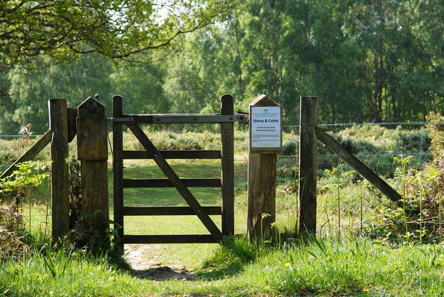
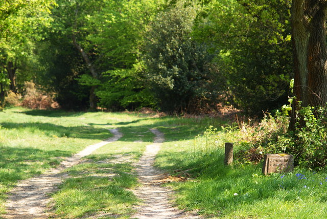
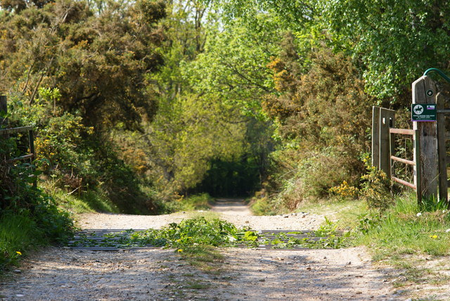
Surrounding the lake, there are well-maintained footpaths and picnic areas, allowing visitors to enjoy leisurely walks, picnics, and birdwatching in the peaceful surroundings. The lake's serene ambiance and natural beauty make it an ideal spot for nature enthusiasts and photographers alike.
Boringwheel Lake is also part of a larger ecosystem, as it connects to a freshwater marsh located nearby. This marsh provides a habitat for a wide array of plant and animal species, including reeds, cattails, ducks, and dragonflies.
Overall, Boringwheel Lake offers a tranquil retreat for those seeking a peaceful escape in the heart of Sussex's natural beauty.
If you have any feedback on the listing, please let us know in the comments section below.
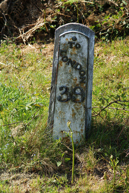
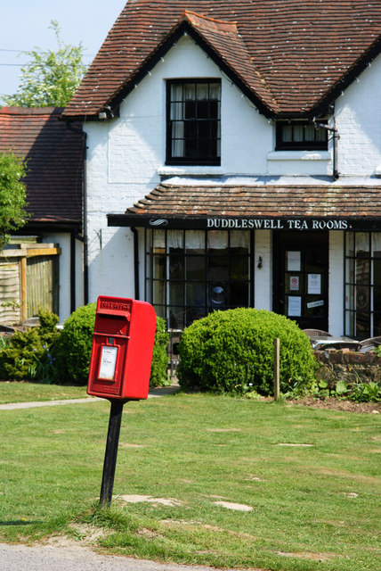
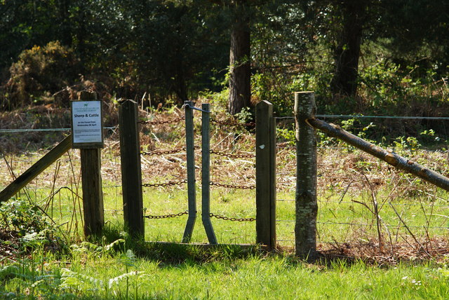
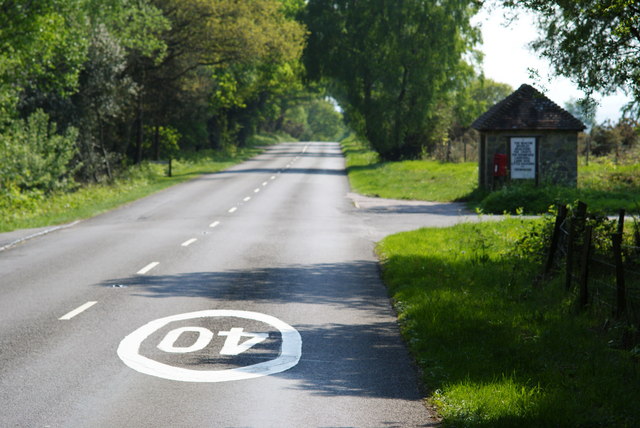
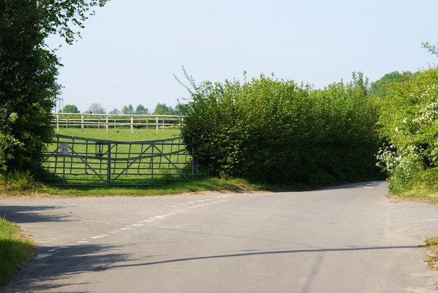
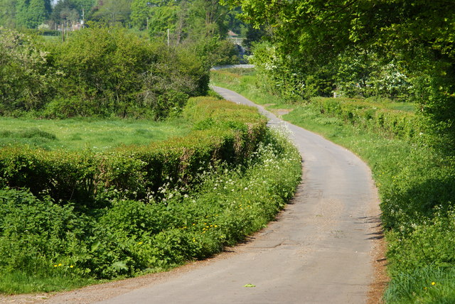
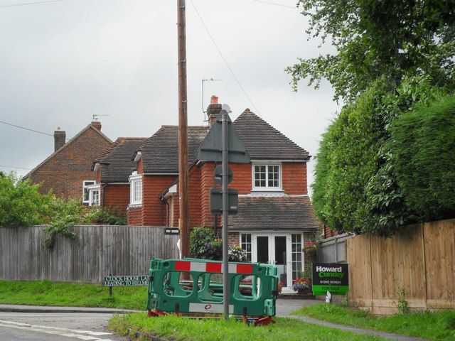
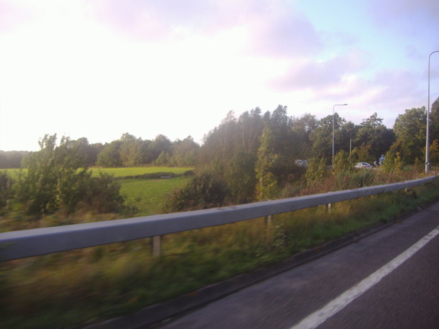
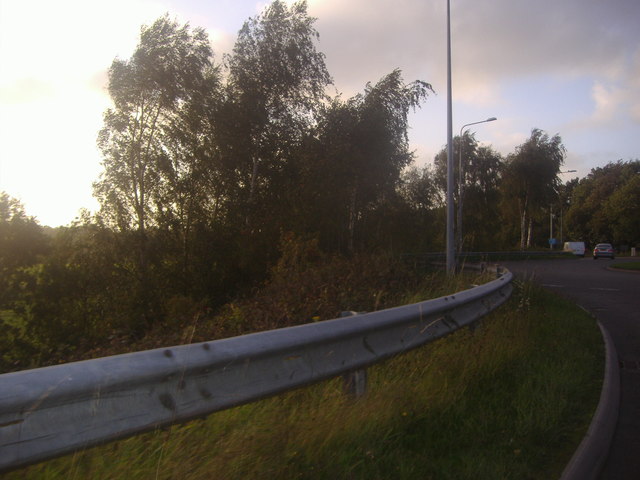
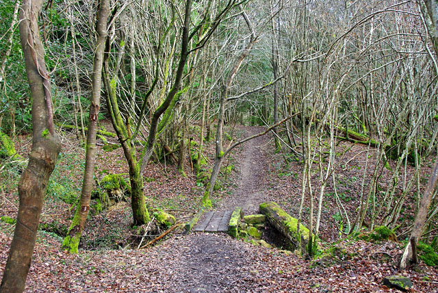
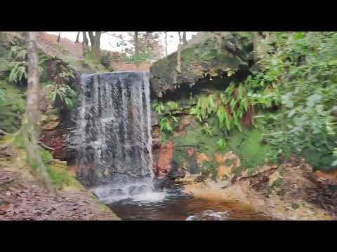
Boringwheel Lake Images
Images are sourced within 2km of 51.019421/0.073899 or Grid Reference TQ4526. Thanks to Geograph Open Source API. All images are credited.

Boringwheel Lake is located at Grid Ref: TQ4526 (Lat: 51.019421, Lng: 0.073899)
Administrative County: East Sussex
District: Wealden
Police Authority: Sussex
What 3 Words
///mend.clothed.birthdays. Near Buxted, East Sussex
Related Wikis

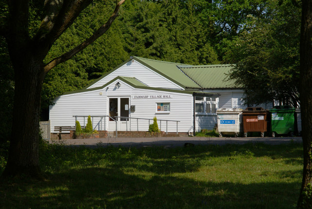
Fairwarp
Fairwarp is a small village within the civil parish of Maresfield in the Wealden district of East Sussex, England. Its nearest town is Uckfield, which...
Rock Wood
Rock Wood is a 10.4-hectare (26-acre) biological Site of Special Scientific Interest north of Uckfield in East Sussex.This ancient wood has several different...

Brickfield Meadow
Brickfield Meadow is a 1.4-hectare (3.5-acre) nature reserve north of Maresfield in East Sussex. It is managed by the Sussex Wildlife Trust.This wildflower...

Nutley, East Sussex
Nutley is a village in the Wealden District of East Sussex, England. It lies about 5 mi (8.0 km) north-west of Uckfield, the main road being the A22. Nutley...

Buxted Park
Buxted Park is an 84.7 hectare (206.16 acre) biological Site of Special Scientific Interest, located near the village of Buxted, East Sussex, England....

Maresfield
Maresfield is a village and civil parish in the Wealden District of East Sussex, England. The village itself lies 1.5 miles (2.4 km) north from Uckfield...

Heron's Ghyll
Heron's Ghyll is a hamlet in the Wealden district of East Sussex. St John the Evangelist Church is a Catholic church in the village. There is a late 19th...
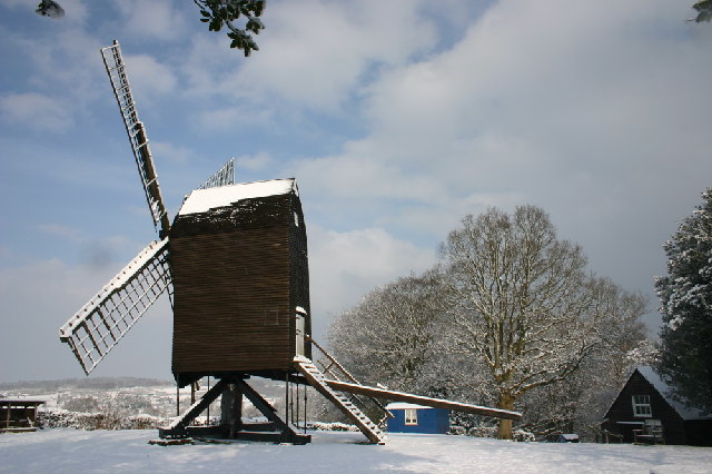
Nutley Windmill
Nutley Windmill is a grade II* listed open trestle post mill at Nutley, East Sussex, England which has been restored to working order. == History == Nutley...
Related Videos


A trip to the Hundred Acre Wood (Ashdown Forest) and Pooh Corner | Hayley Warren
My birthday trip to Pooh Corner and the Hundred Acre Wood to play Poohsticks.
Nearby Amenities
Located within 500m of 51.019421,0.073899Have you been to Boringwheel Lake?
Leave your review of Boringwheel Lake below (or comments, questions and feedback).