Margaret Marsh

Civil Parish in Dorset North Dorset

England

Margaret Marsh

Direction Sign – Signpost on the B3091 in East Orchard Located on the northeast side of the crossroads on the B3091, north of East Orchard village. East Orchard parish. 4 arms and cap finial.

Milestone Society National ID: DO_ST8318
Direction Sign – Signpost on the B3091 in East Orchard Credit: C Payne

Margaret Marsh is a civil parish located in the county of Dorset, England. Situated in the Blackmore Vale area, it is nestled between the towns of Shaftesbury and Gillingham. The parish covers an area of approximately 4 square miles and has a population of around 300 residents.

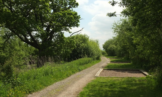
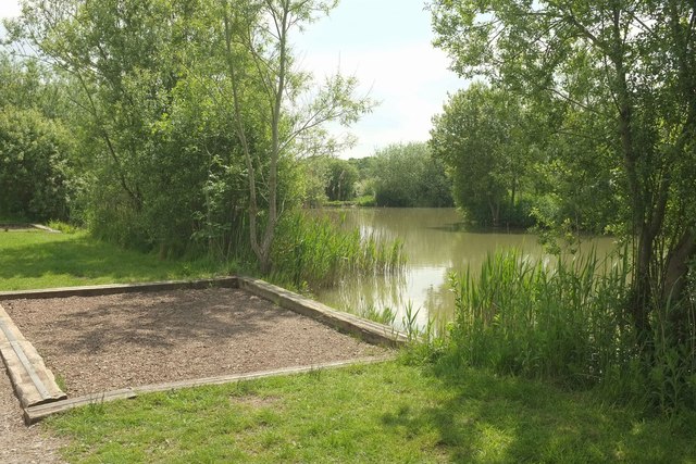
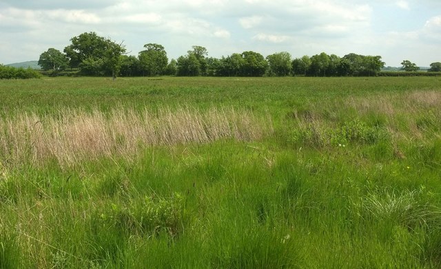
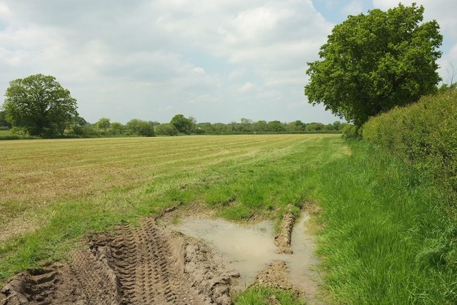
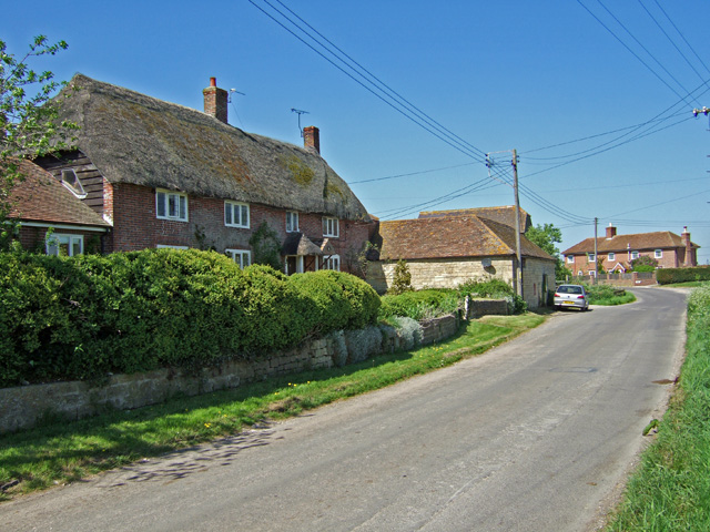
The village of Margaret Marsh consists of a small cluster of houses and cottages that are predominantly built from local stone, giving the area a charming and traditional feel. The parish is surrounded by picturesque countryside, offering beautiful views of the rolling hills and farmland that characterizes the region.

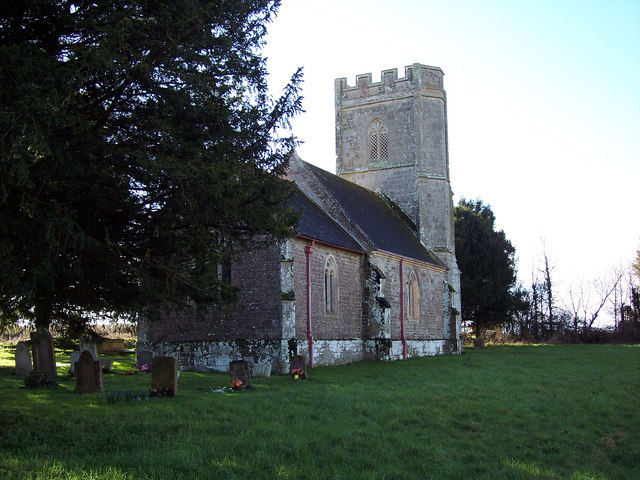
Despite its small size, Margaret Marsh boasts a strong sense of community spirit. The local residents take pride in their village and actively participate in various events and activities organized throughout the year. The parish church, St. Margaret's, is a focal point for the community and holds regular services and events.

The village is well-served by local amenities, including a village hall that hosts various social gatherings and meetings. There is also a primary school nearby, providing education for children in the area.

Margaret Marsh is a popular destination for outdoor enthusiasts, offering numerous walking and cycling routes that allow visitors to explore the surrounding countryside. The parish is also within easy reach of larger towns and cities, such as Bournemouth and Salisbury, providing access to a wider range of amenities and attractions.

Overall, Margaret Marsh is a quaint and welcoming civil parish that offers a peaceful and rural lifestyle while still providing access to essential amenities and nearby towns.

If you have any feedback on the listing, please let us know in the comments section below.

Margaret Marsh Images

Images are sourced within 2km of 50.96768/-2.257577 or Grid Reference ST8218. Thanks to Geograph Open Source API. All images are credited.

Direction Sign – Signpost on the B3091 in East Orchard Located on the northeast side of the crossroads on the B3091, north of East Orchard village. East Orchard parish. 4 arms and cap finial.

Milestone Society National ID: DO_ST8318
Direction Sign – Signpost on the B3091 in East Orchard
Located on the northeast side of the crossroads on the B3091, north of East Orchard village. East Orchard parish. 4 arms and cap finial. Milestone Society National ID: DO_ST8318
Field near Lymburghs Farm Looking along the line of footpath N71 26, as it runs along the edge of a harvested grass field.
Field near Lymburghs Farm
Looking along the line of footpath N71 26, as it runs along the edge of a harvested grass field.
Field near Margaret Marsh From an awkward stile on footpath N67 3 where it crosses the Key Brook. The path turns left here.
Field near Margaret Marsh
From an awkward stile on footpath N67 3 where it crosses the Key Brook. The path turns left here.
Green Lane A little southeast of the junction with the lane past Margaret Marsh.
Green Lane
A little southeast of the junction with the lane past Margaret Marsh.
Path around Wadmill Lake Passing fishing platforms. The lake is on the right.
Path around Wadmill Lake
Passing fishing platforms. The lake is on the right.
Wadmill Lake One of the fishing platforms visible in <a href="https://www.geograph.org.uk/photo/5118640">ST8019 : Path around Wadmill Lake</a>.
Wadmill Lake
One of the fishing platforms visible in ST8019 : Path around Wadmill Lake.
Field beside Wadmill Lake The lake is built at a higher level than the surrounding countryside. This view is from the southeast part of the path around the lake. The trees are around a further lake.
Field beside Wadmill Lake
The lake is built at a higher level than the surrounding countryside. This view is from the southeast part of the path around the lake. The trees are around a further lake.
Wadmill Lake The fishing lake is stocked with carp, pike, bream, tench and perch.
Wadmill Lake
The fishing lake is stocked with carp, pike, bream, tench and perch.
Roe deer east of Todber Manor Fisheries Seen from footpath N71 26, sharing a large field of grass with me.
Roe deer east of Todber Manor Fisheries
Seen from footpath N71 26, sharing a large field of grass with me.
Field boundary east of Todber Manor Fisheries I'm following the western edge of this grass field, though the mapped line of footpath N71 26 is a little way to the left. I'm actually in need of a rest after walking about 10 miles from Gillingham and hoped the edge would more conducive to a halt. But I'm refreshed by seeing <a href="https://www.geograph.org.uk/photo/5119208">ST8119 : Roe deer east of Todber Manor Fisheries</a> off to the left here.
Field boundary east of Todber Manor Fisheries
I'm following the western edge of this grass field, though the mapped line of footpath N71 26 is a little way to the left. I'm actually in need of a rest after walking about 10 miles from Gillingham and hoped the edge would more conducive to a halt. But I'm refreshed by seeing ST8119 : Roe deer east of Todber Manor Fisheries off to the left here.
Field east of Todber Manor Fisheries From the same position as <a href="https://www.geograph.org.uk/photo/5119208">ST8119 : Roe deer east of Todber Manor Fisheries</a> and <a href="https://www.geograph.org.uk/photo/5119241">ST8119 : Field boundary east of Todber Manor Fisheries</a>; in fact the roe deer is there, almost level with the right hand end of the line of trees, but you will only spot it at a large size.
Field east of Todber Manor Fisheries
From the same position as ST8119 : Roe deer east of Todber Manor Fisheries and ST8119 : Field boundary east of Todber Manor Fisheries; in fact the roe deer is there, almost level with the right hand end of the line of trees, but you will only spot it at a large size.
Field and wood east of Todber Manor Fisheries Looking left from the same position as <a href="https://www.geograph.org.uk/photo/5119483">ST8119 : Field east of Todber Manor Fisheries</a>.
Field and wood east of Todber Manor Fisheries
Looking left from the same position as ST8119 : Field east of Todber Manor Fisheries.
Field east of Todber Manor Fisheries After emerging into its northern edge on footpath N71 26.
Field east of Todber Manor Fisheries
After emerging into its northern edge on footpath N71 26.
Field east of Todber Manor Fisheries From the same spot as <a href="https://www.geograph.org.uk/photo/5119515">ST8119 : Field east of Todber Manor Fisheries</a>, looking right. Footpath N71 26 keeps right of the willows (which hide a pond) and runs along the field edge.
Field east of Todber Manor Fisheries
From the same spot as ST8119 : Field east of Todber Manor Fisheries, looking right. Footpath N71 26 keeps right of the willows (which hide a pond) and runs along the field edge.
Trees and gate east of Todber Manor Fisheries The leaning willow can be seen in the centre of <a href="https://www.geograph.org.uk/photo/5119520">ST8119 : Field east of Todber Manor Fisheries</a>. On the right behind it is a pond.
Trees and gate east of Todber Manor Fisheries
The leaning willow can be seen in the centre of ST8119 : Field east of Todber Manor Fisheries. On the right behind it is a pond.
Towards Lymburghs Farm From footpath N71 26, near its crossing of N71 27. The C17 farmhouse, glimpsed to the left of the oak's trunk, is described at <span class="nowrap"><a title="https://www.historicengland.org.uk/listing/the-list/list-entry/1110399" rel="nofollow ugc noopener" href="https://www.historicengland.org.uk/listing/the-list/list-entry/1110399">Link</a><img style="margin-left:2px;" alt="External link" title="External link - shift click to open in new window" src="https://s1.geograph.org.uk/img/external.png" width="10" height="10"/></span> .
Towards Lymburghs Farm
From footpath N71 26, near its crossing of N71 27. The C17 farmhouse, glimpsed to the left of the oak's trunk, is described at LinkExternal link .
Field near Lymburghs Farm Another view of the harvested field shown in <a href="https://www.geograph.org.uk/photo/4971329">ST8119 : Field near Lymburghs Farm</a>.
Field near Lymburghs Farm
Another view of the harvested field shown in ST8119 : Field near Lymburghs Farm.
Path near Lymburghs Farm Footpath N71 26 runs alongside a field boundary and past the end of another. View from the same spot as <a href="https://www.geograph.org.uk/photo/5119588">ST8119 : Field near Lymburghs Farm</a>, looking in the opposite direction.
Path near Lymburghs Farm
Footpath N71 26 runs alongside a field boundary and past the end of another. View from the same spot as ST8119 : Field near Lymburghs Farm, looking in the opposite direction.
Show me another place!

Margaret Marsh is located at Grid Ref: ST8218 (Lat: 50.96768, Lng: -2.257577)

Administrative County: Dorset

District: North Dorset

Police Authority: Dorset

What 3 Words

///arranged.galloped.atoms. Near Manston, Dorset

Related Wikis

Margaret Marsh

Margaret Marsh is a hamlet and civil parish in north Dorset, England. It is situated in the Blackmore Vale, halfway between the towns of Shaftesbury and...

East Orchard

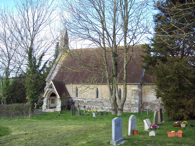
East Orchard is a small village and parish in the county of Dorset in southern England. It lies in the Blackmore Vale within the North Dorset administrative...

St Thomas's Church, East Orchard

St Thomas's Church is a Grade II listed building in East Orchard, Dorset. The church dates from 1859. The Diocese of Salisbury discontinued services in...
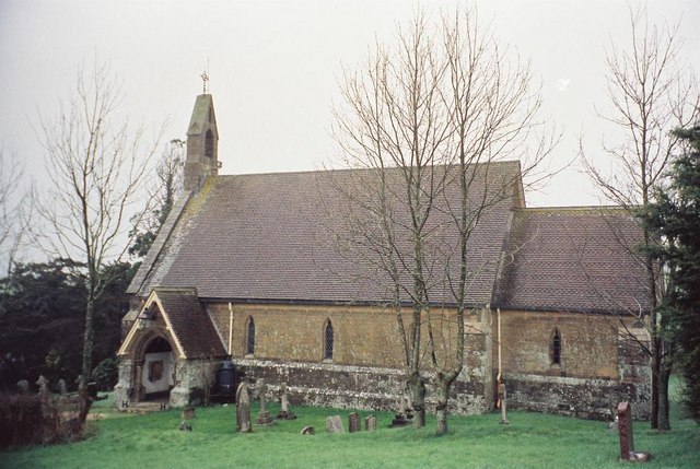
West Orchard

West Orchard is a small village and civil parish in the county of Dorset in southern England. It is situated in the Blackmore Vale in the North Dorset...

Nearby Amenities

Located within 500m of 50.96768,-2.257577
Margaret Marsh
Is In: Dorset, England, UK
Place: village
Lat/Long: 50.9679923/-2.2533713
Power: pole
Source: bing
Lat/Long: 50.968864/-2.2541124
Power: pole
Source: bing
Lat/Long: 50.9688412/-2.2535142
Power: pole
Source: bing
Lat/Long: 50.9688919/-2.2529751
Power: pole
Source: bing
Lat/Long: 50.9698817/-2.2517949
Power: pole
Source: bing
Lat/Long: 50.9695405/-2.2526076
Entrance: yes
Lat/Long: 50.9668207/-2.2527809
Entrance: main
Lat/Long: 50.9667827/-2.252622
The data included in this document is from www.openstreetmap.org. The data is made available under ODbL.

Have you been to Margaret Marsh?

Leave your review of Margaret Marsh below (or comments, questions and feedback).