Navestock Side

Settlement in Essex Brentwood

England

Navestock Side

Parched grassland off Coxtie Green Road Weald Park Golf Club beyond.
Parched grassland off Coxtie Green Road Credit: JThomas

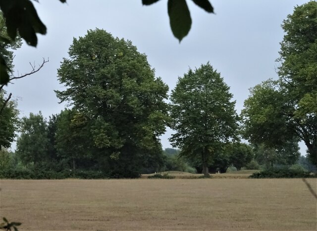
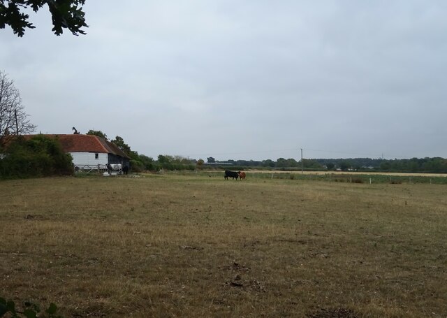
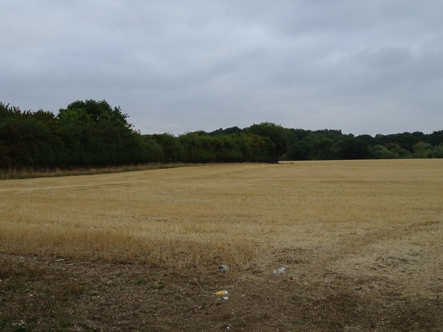
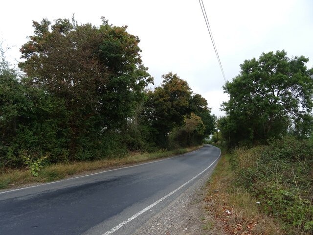
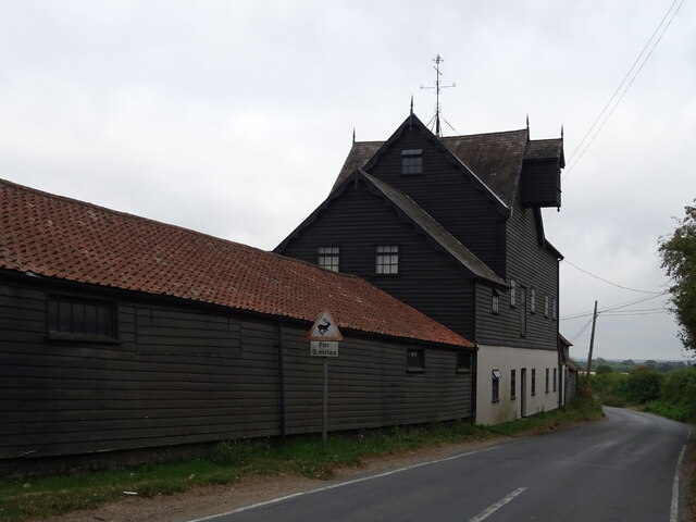
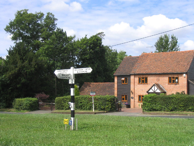
Navestock Side is a small village located in the county of Essex, England. Situated approximately 25 miles northeast of London, it falls within the district of Brentwood. The village is nestled in the beautiful Essex countryside, surrounded by picturesque farmland and rolling hills.

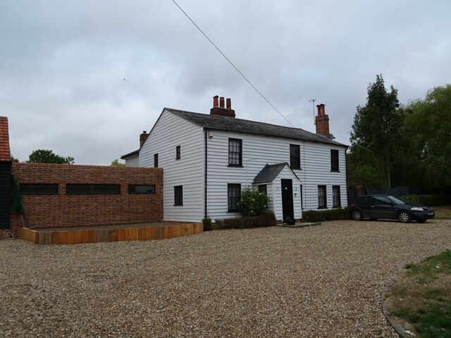
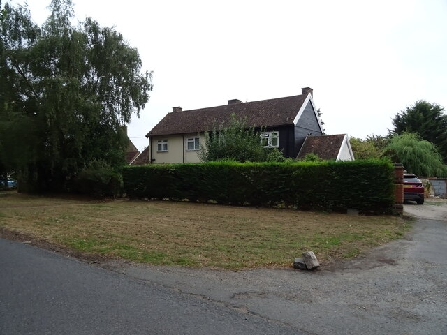
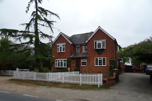
With a population of just over 500 residents, Navestock Side offers a peaceful and close-knit community atmosphere. The village is characterized by its charming rural setting, with a mix of traditional cottages, farmhouses, and newer residential properties. The architecture reflects the area's rich history, with some buildings dating back several centuries.

Despite its small size, Navestock Side boasts a strong sense of community spirit. The village has a local church, St. Thomas of Canterbury, which serves as a focal point for residents. The church holds regular services and community events, fostering a sense of unity among the villagers.

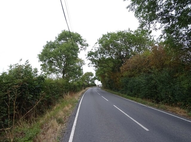
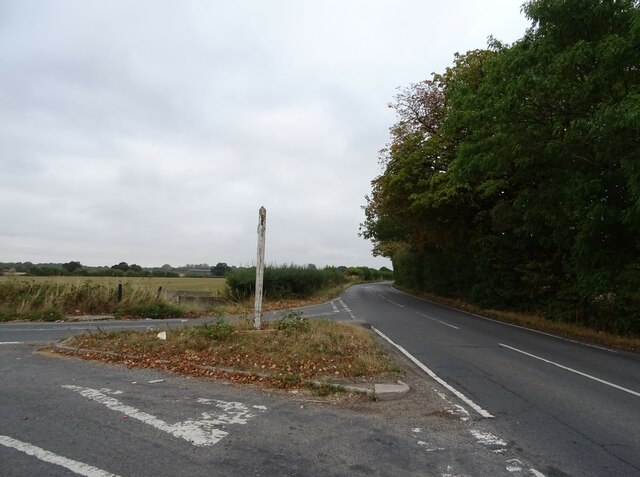
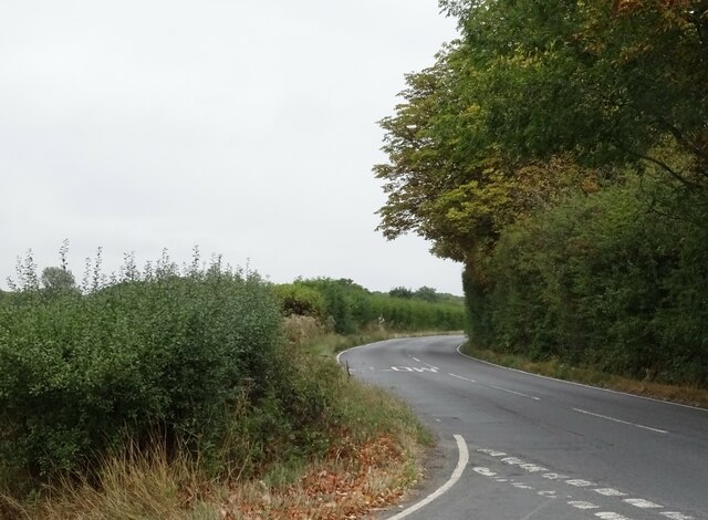
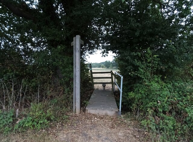
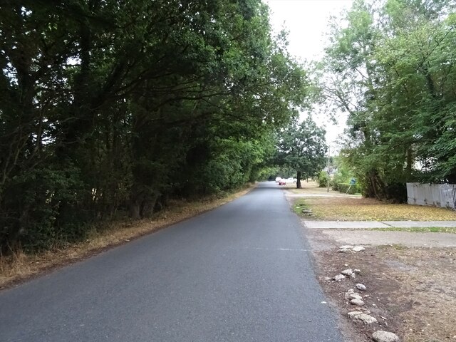
Navestock Side is surrounded by beautiful countryside, making it an ideal location for nature enthusiasts and outdoor activities. The village is close to a number of walking and cycling routes, allowing residents to explore the idyllic Essex landscape at their leisure.

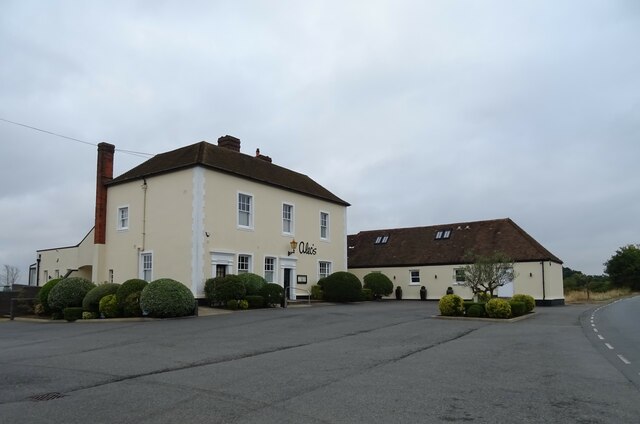
While Navestock Side is predominantly residential, it benefits from its close proximity to nearby towns such as Brentwood and Romford. These towns offer a range of amenities, including shopping centers, restaurants, and leisure facilities, ensuring that residents have access to a wider range of services.

In summary, Navestock Side is a charming village in Essex, offering a peaceful and close-knit community atmosphere, surrounded by beautiful countryside, and benefiting from its proximity to nearby towns.

If you have any feedback on the listing, please let us know in the comments section below.

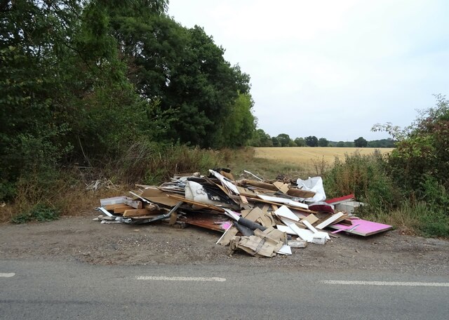
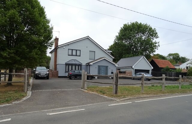
Navestock Side Images

Images are sourced within 2km of 51.650645/0.258049 or Grid Reference TQ5697. Thanks to Geograph Open Source API. All images are credited.

Parched grassland off Coxtie Green Road Weald Park Golf Club beyond.
Parched grassland off Coxtie Green Road
Weald Park Golf Club beyond.
Coxtie Green Road Towards Coxtie Green.
Coxtie Green Road
Towards Coxtie Green.
Road junction on Coxtie Green Road With Dytchleys Road.
Road junction on Coxtie Green Road
With Dytchleys Road.
Bend in Coxtie Green Road Towards Coxtie Green.
Bend in Coxtie Green Road
Towards Coxtie Green.
Fly-tipped rubbish beside Dytchleys Road
Minor road junction on Dytchleys Road
House, South Weald Common
Former King William IV pub, South Weald Common Now a private residence.
See also <a href="https://www.geograph.org.uk/photo/3478449">TQ5496 : Former King William IV pub, South Weald Common</a>
Former King William IV pub, South Weald Common
Sign for the King William IV pub, South Weald Common The name is now barely legible.
Sign for the King William IV pub, South Weald Common
The name is now barely legible.
Footpaths, South Weald Common
Parched grazing near Tan House Farm After a long dry spell.
Parched grazing near Tan House Farm
After a long dry spell.
Stubble field and mature hedgerow Off Prince's Road.
Stubble field and mature hedgerow
Off Prince's Road.
Prince's Road Towards the A113.
Prince's Road
Towards the A113.
The Black Mill Grade II listed former steam mill. The main block has a projecting gabled hoist loft.
The Black Mill
Grade II listed former steam mill. The main block has a projecting gabled hoist loft.
Houses, Navestock Side
Snake Hill, Navestock Side
Houses, Navestock Side
Alec's Restaurant, Navestock Side The former Green Man public house - see <a href="https://www.geograph.org.uk/photo/274524">TQ5697 : The Green Man, Navestock Side</a>
Alec's Restaurant, Navestock Side
The former Green Man public house - see TQ5697 : The Green Man, Navestock Side
Show me another place!

Navestock Side is located at Grid Ref: TQ5697 (Lat: 51.650645, Lng: 0.258049)

Administrative County: Essex

District: Brentwood

Police Authority: Essex

What 3 Words

///shirt.nights.strut. Near Kelvedon Hatch, Essex

Related Wikis

Navestock Side

Navestock Side is a hamlet near the A128 road, in the Navestock civil parish of the Brentwood District, in the county of Essex, England. It is about three...

Navestock

Navestock is a civil parish in the Borough of Brentwood in south Essex, in the East of England region of the United Kingdom. It is located approximately...

Abbotswick

Abbotswick (or Abbotswick Hall) at Navestock Side, in the English county of Essex, is a small country house standing in a well-timbered garden with a small...

Coxtie Green

Coxtie Green is a small settlement in the Borough of Brentwood in Essex, England.

Trinity Church (Brentwood)

Trinity Church (formerly Peniel Pentecostal Church) is a church in Pilgrims Hatch in England. The church was founded by Michael Reid, who served as pastor...

Trinity School, Brentwood

Trinity School (formerly Peniel Academy) was an independent school in Essex, England. The school was located in Brentwood and was closely linked to Trinity...

Kelvedon Hatch

Kelvedon Hatch is a village and civil parish in the Borough of Brentwood in south Essex, England. It is situated just north of Pilgrims Hatch, approximately...

St Nicholas Church, Kelvedon Hatch

St Nicholas Church is the Church of England parish church in the Essex village of Kelvedon Hatch. It was first recorded around 1254, when the rectory of...

Nearby Amenities

Located within 500m of 51.650645,0.258049
Created By: YahooApplet 1.0
Lat/Long: 51.6462751/0.2590647
Navestock Side
Is In: Essex, England, UK
Is In Country: UK
Is In County: Essex
Place: hamlet
Wikidata: Q6982280
Lat/Long: 51.6514044/0.254122
Bus Stop
Snakes Hill
Naptan AtcoCode: 1500AA83
Naptan Bearing: NW
Naptan BusStopType: CUS
Naptan CommonName: Snakes Hill
Naptan Crossing: Navestock Side
Naptan Indicator: NW-bound
Naptan Landmark: Snakes Hill
Naptan NaptanCode: esxadtdp
Naptan Street: Snakes Hill
Naptan Verified: no
Public Transport: platform
Source: naptan_import
Lat/Long: 51.6505911/0.2565281
Bus Stop
Snakes Hill
Naptan AtcoCode: 1500AA83B
Naptan Bearing: SE
Naptan BusStopType: CUS
Naptan CommonName: Snakes Hill
Naptan Crossing: Navestock Side
Naptan Indicator: SE-bound
Naptan Landmark: Snakes Hill
Naptan NaptanCode: esxadwga
Naptan Street: Snakes Hill
Naptan Verified: no
Public Transport: platform
Source: naptan_import
Lat/Long: 51.6506442/0.2565742
Bus Stop
Green Lane
Naptan AtcoCode: 1500IM1245
Naptan Bearing: N
Naptan BusStopType: CUS
Naptan CommonName: The Green Man
Naptan Indicator: Adj
Naptan Landmark: The Green Man
Naptan NaptanCode: esxadjgj
Naptan Street: Navestock Side Green
Naptan Verified: no
Public Transport: platform
Source: naptan_import
Lat/Long: 51.6538011/0.2579599
Barrier: stile
Foot: yes
Lat/Long: 51.6534466/0.2591849
Restaurant
Alec's Restaurant and Grill
Lat/Long: 51.6543201/0.2578445
Bus Stop
Green Lane
Naptan AtcoCode: 1500IM1245B
Naptan BusStopType: CUS
Naptan NaptanCode: esxjpgma
Naptan Verified: no
Public Transport: platform
Source: naptan
Lat/Long: 51.6537823/0.2580589
Crossing
Lat/Long: 51.6472727/0.2623442
Colour: red and white
Marker: aerial
Utility: gas
Lat/Long: 51.6498365/0.2575277
Colour: yellow
Marker: post
Utility: gas
Lat/Long: 51.6498121/0.2574699
Colour: yellow
Marker: post
Utility: gas
Lat/Long: 51.6501852/0.2651674
Public Bookcase
Booth: K6
Disused Amenity: telephone
Man Made: telephone_box
Public Bookcase Type: phone_box
Lat/Long: 51.6525639/0.2576862
Post Box
Post Box Type: lamp
Royal Cypher: EIIR
Lat/Long: 51.6528768/0.2574376
Leisure: playground
Lat/Long: 51.6548864/0.2591206
The data included in this document is from www.openstreetmap.org. The data is made available under ODbL.

Have you been to Navestock Side?

Leave your review of Navestock Side below (or comments, questions and feedback).