Kilnfield Shaw
Wood, Forest in Sussex Wealden
England
Kilnfield Shaw
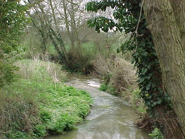
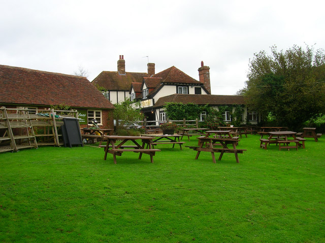
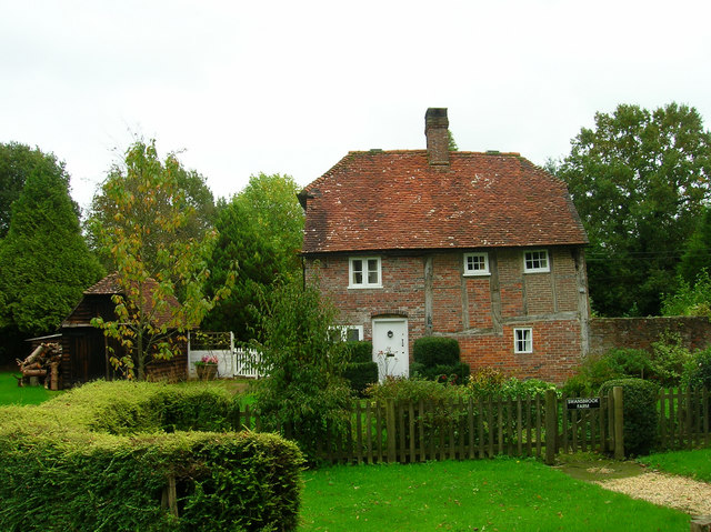
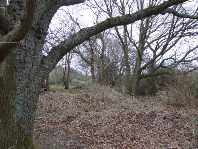
Kilnfield Shaw is a picturesque woodland located in Sussex, England. It is nestled in the heart of the county, surrounded by lush green landscapes and rolling hills. The woodland covers an area of approximately 100 acres, making it a significant natural attraction in the region.
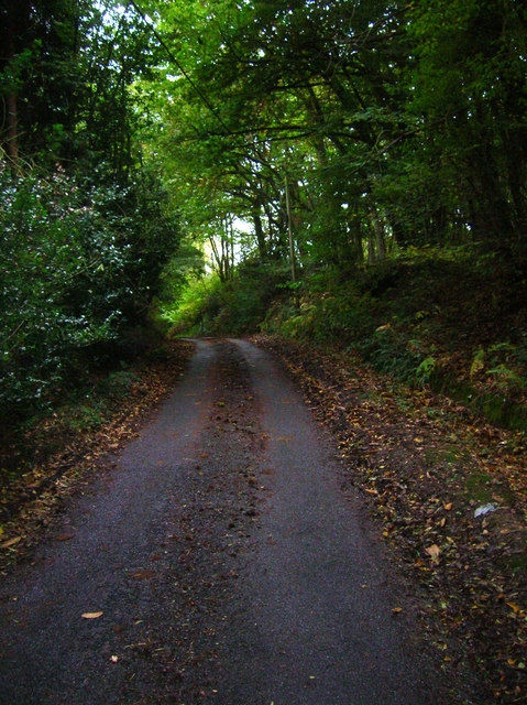
The forest is predominantly composed of deciduous trees, including oak, beech, and birch. These trees provide a vibrant display of colors during the autumn season, attracting nature enthusiasts and photographers alike. The forest floor is carpeted with a rich variety of plants and wildflowers, creating a diverse ecosystem teeming with life.
Kilnfield Shaw is renowned for its tranquil atmosphere and peaceful ambiance. The absence of noise pollution and the presence of wildlife make it an ideal destination for those seeking solace and a connection with nature. Visitors often spot a range of wildlife, including deer, foxes, and various bird species.
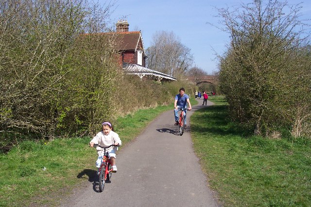
The woodland is also home to several walking trails and footpaths, allowing visitors to explore the beauty of the forest at their own pace. These trails provide stunning views of the surrounding countryside and offer opportunities for outdoor activities such as hiking and birdwatching.
In addition to its natural beauty, Kilnfield Shaw holds historical significance. Remnants of kilns, which were once used for charcoal production, can still be found within the woodland. These kilns are a testament to the forest's past and serve as a reminder of its industrial heritage.
Overall, Kilnfield Shaw in Sussex is a haven of natural beauty, tranquility, and historical significance. It offers a unique experience for nature lovers, providing a sanctuary away from the hustle and bustle of everyday life.
If you have any feedback on the listing, please let us know in the comments section below.
Kilnfield Shaw Images
Images are sourced within 2km of 50.901057/0.22060317 or Grid Reference TQ5613. Thanks to Geograph Open Source API. All images are credited.


Kilnfield Shaw is located at Grid Ref: TQ5613 (Lat: 50.901057, Lng: 0.22060317)
Administrative County: East Sussex
District: Wealden
Police Authority: Sussex
What 3 Words
///writings.enigma.envisage. Near Horam, East Sussex
Nearby Locations
Related Wikis

Gun Hill, East Sussex
Gun Hill is a hamlet in the civil parish of Chiddingly in the Wealden district of East Sussex, England. It is one of the seven hills of the parish in which...

Farleys House
Farleys House near Chiddingly, East Sussex, has been converted into a museum and archive featuring the lives and work of its former residents, the photographer...

Chiddingly
Chiddingly ( CHID-ing-lye) is an English village and civil parish in the Wealden District of the administrative county of East Sussex, within historic...

Hellingly
Hellingly (pronounced 'Helling-lye') is a village, and can also refer to a civil parish, and to a district ward, in the Wealden District of East Sussex...

Zoar Strict Baptist Chapel
Zoar Strict Baptist Chapel is a Strict Baptist place of worship in the hamlet of Lower Dicker in the English county of East Sussex. Founded in 1837 and...
Cuckoo Trail
The Cuckoo Trail is a 14-mile (23 km) footpath and cycleway which runs from Hampden Park to Heathfield in East Sussex. It passes through the towns of Polegate...

Horselunges Manor
Horselunges Manor is a 15th-century manor house in Hellingly, East Sussex, that was restored in the 20th century. The house was previously owned by Peter...
Lower Dicker
Lower Dicker is a 0.1-hectare (0.25-acre) geological Site of Special Scientific Interest west of Hailsham in East Sussex. It is a Geological Conservation...
Nearby Amenities
Located within 500m of 50.901057,0.22060317Have you been to Kilnfield Shaw?
Leave your review of Kilnfield Shaw below (or comments, questions and feedback).