Almonds Wood
Wood, Forest in Sussex Wealden
England
Almonds Wood

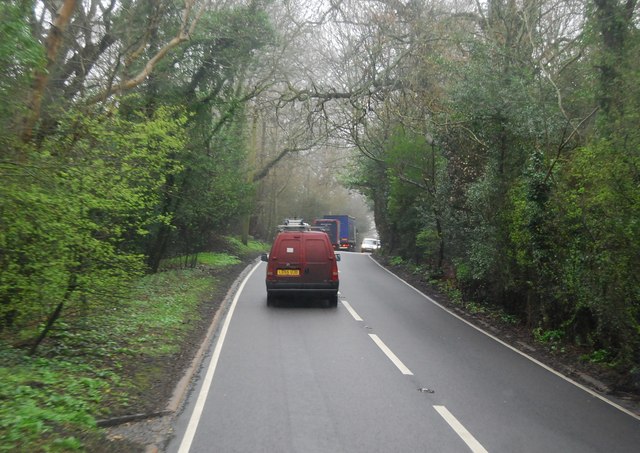
Almonds Wood is a picturesque woodland located in Sussex, England. Covering an area of approximately 100 acres, it is known for its rich biodiversity and stunning natural beauty. The wood is primarily composed of a diverse range of tree species, with oak, beech, and ash being the most prominent. These majestic trees create a dense canopy, allowing only dappled sunlight to filter through to the forest floor.
Almonds Wood is home to a wide variety of wildlife, making it a popular destination for nature enthusiasts and birdwatchers. The wood is teeming with birdlife, including species such as woodpeckers, nuthatches, and tawny owls. Additionally, small mammals like squirrels and badgers can be spotted scurrying through the undergrowth.
The wood offers several clearly marked walking trails, allowing visitors to explore its enchanting surroundings. These paths wind through the dense foliage, offering glimpses of wildflowers and ferns that carpet the forest floor. The tranquil atmosphere of Almonds Wood makes it a perfect spot for a peaceful walk or a picnic amidst nature.
Almonds Wood holds historical significance as well. It is believed to have been part of a larger ancient forest that covered much of Sussex during the medieval period. The wood has been carefully managed and preserved over the years, ensuring its continued existence and the protection of its unique ecosystem.
Overall, Almonds Wood in Sussex is a captivating woodland that offers a serene escape into nature. Its lush greenery, diverse wildlife, and peaceful ambiance make it a must-visit destination for those seeking solace in the beauty of the natural world.
If you have any feedback on the listing, please let us know in the comments section below.
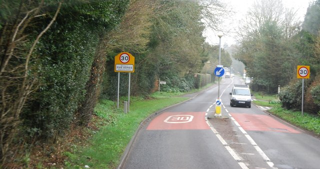
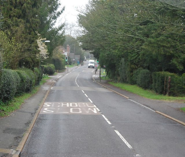
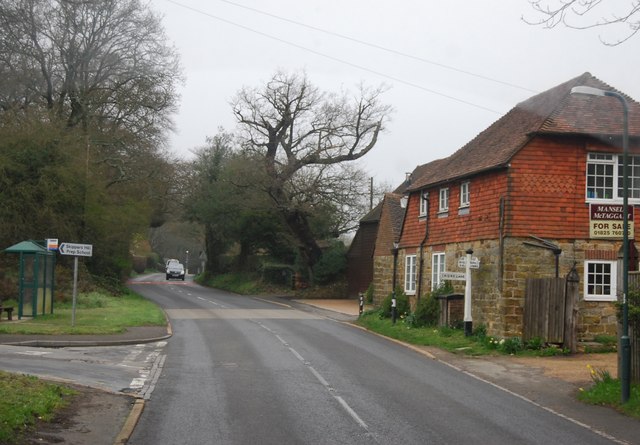
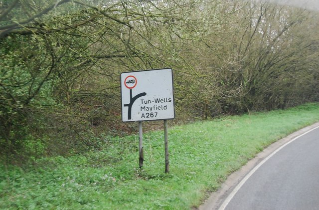
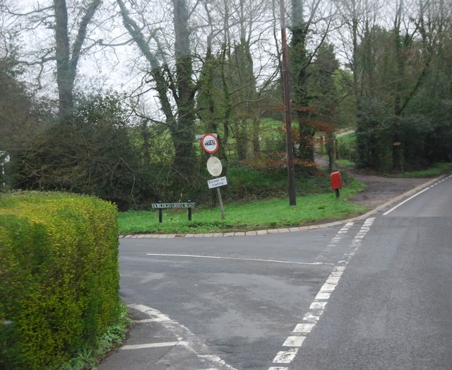
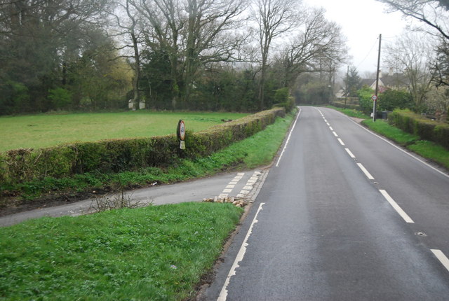
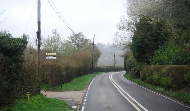
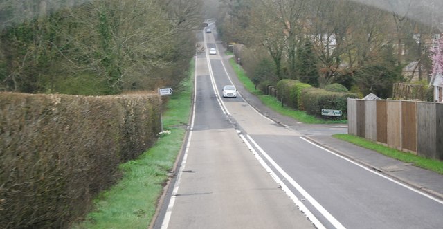
Almonds Wood Images
Images are sourced within 2km of 51.005235/0.22556079 or Grid Reference TQ5625. Thanks to Geograph Open Source API. All images are credited.


Almonds Wood is located at Grid Ref: TQ5625 (Lat: 51.005235, Lng: 0.22556079)
Administrative County: East Sussex
District: Wealden
Police Authority: Sussex
What 3 Words
///swear.pleasing.reshaping. Near Heathfield, East Sussex
Nearby Locations
Related Wikis

Wealden (UK Parliament constituency)
Wealden is a constituency represented in the House of Commons of the UK Parliament since 2015 by Nus Ghani, a Conservative. Ghani is the first Muslim woman...

Wealden District
Wealden is a local government district in East Sussex, England. Its council is based in Hailsham, the district's largest town. The district also includes...

Southern Sandstone
Southern Sandstone is a local name for the Ardingly Sandstone of southeast England, a soft sandstone of Cretaceous age separating the Tunbridge Wells Sands...

Mayfield railway station
Mayfield was a railway station on the now closed Eridge to Polegate cross country line (the Cuckoo Line). It was built by London, Brighton and South Coast...

Great Bush Railway
The Great Bush Railway is a private, 2 ft (610 mm) narrow gauge running round the edge of Tinkers Park, Hadlow Down, Sussex. The railway is operated by...
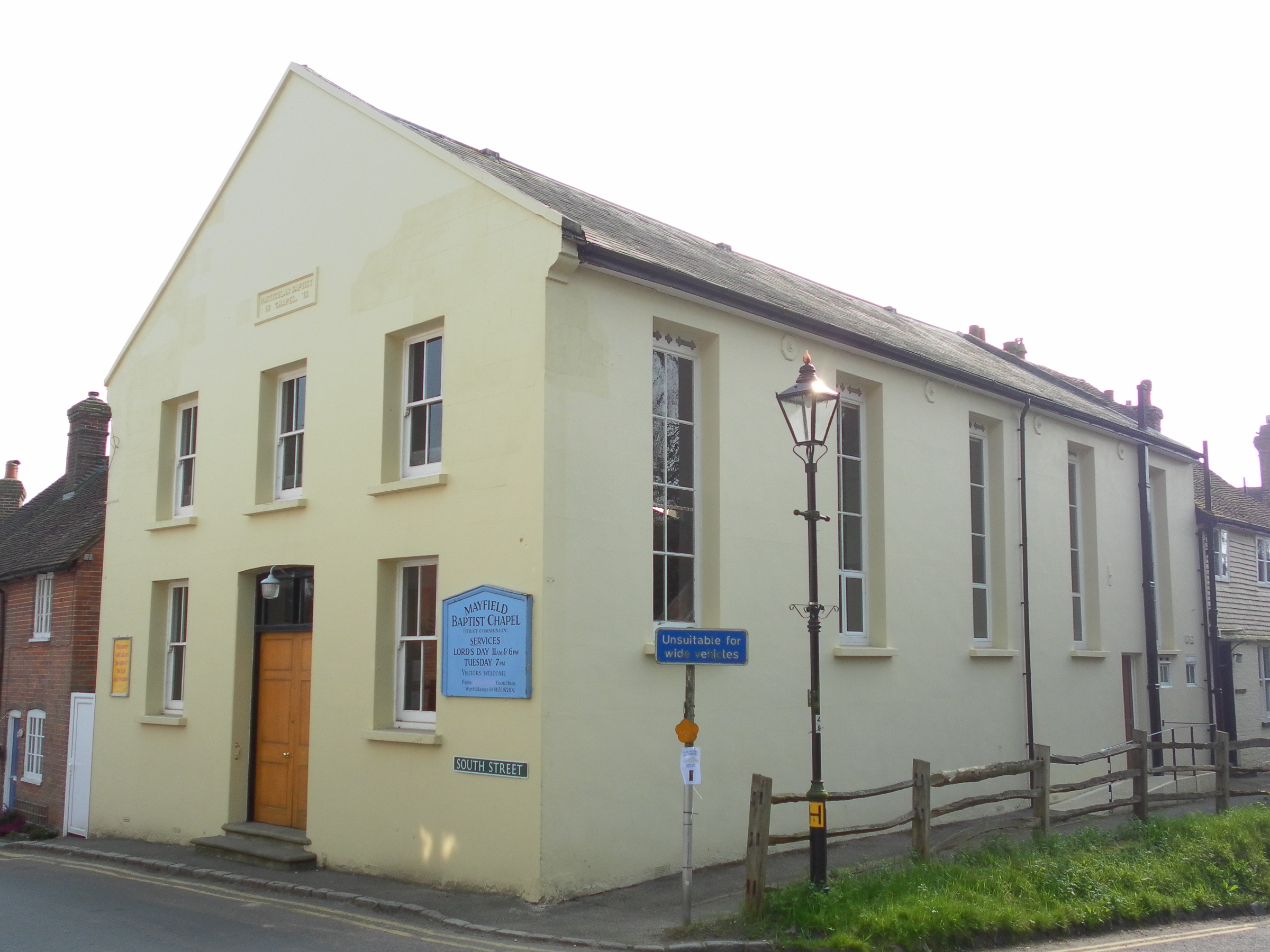
Mayfield Baptist Chapel
Mayfield Baptist Chapel, also known as Mayfield Strict Baptist Chapel, is a place of worship for Gospel Standard Strict Baptists in the village of Mayfield...
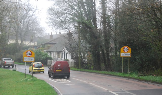
Mayfield and Five Ashes
Mayfield and Five Ashes is a civil parish in the High Weald of East Sussex, England. The two villages making up the principal part of the parish lie on...

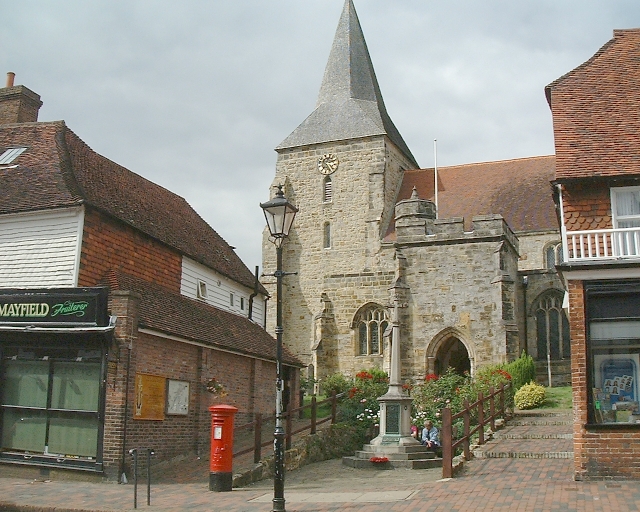
St Dunstan's Church, Mayfield
St Dunstan's, Mayfield in Mayfield, East Sussex was founded in 960 CE by St Dunstan, who was then Archbishop of Canterbury. It is reported as being originally...
Nearby Amenities
Located within 500m of 51.005235,0.22556079Have you been to Almonds Wood?
Leave your review of Almonds Wood below (or comments, questions and feedback).