Upper Cowdens Wood
Wood, Forest in Sussex Wealden
England
Upper Cowdens Wood
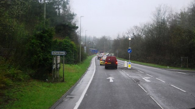
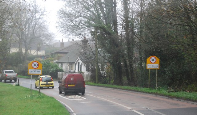
Upper Cowdens Wood is a picturesque woodland located in the county of Sussex, England. Spanning over a vast area, it is part of the larger High Weald Area of Outstanding Natural Beauty. The wood is situated near the village of Cowden, nestled amidst rolling hills and meandering streams.
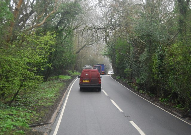
This ancient woodland boasts a diverse range of flora and fauna, making it a haven for nature enthusiasts and wildlife lovers. The tree canopy is dominated by majestic oaks, beeches, and chestnuts, creating a dense and enchanting atmosphere. Ferns, bluebells, and wild garlic carpet the forest floor, adding splashes of color and fragrance.
Upper Cowdens Wood is crisscrossed by numerous footpaths and trails, providing ample opportunities for visitors to explore and discover its hidden gems. These pathways wind through the woodland, leading to secluded clearings, babbling brooks, and tranquil ponds. The wood is home to a rich variety of bird species, including woodpeckers, warblers, and owls, making it a popular spot for birdwatching.
Beyond its natural beauty, Upper Cowdens Wood also holds historical significance. It has been a managed woodland for centuries, with evidence of human activity dating back to medieval times. The wood has been sustainably harvested for timber, charcoal, and firewood, leaving a lasting impact on the landscape.
Overall, Upper Cowdens Wood is a captivating and ecologically diverse woodland, offering visitors a chance to immerse themselves in nature and experience the tranquility of the Sussex countryside.
If you have any feedback on the listing, please let us know in the comments section below.
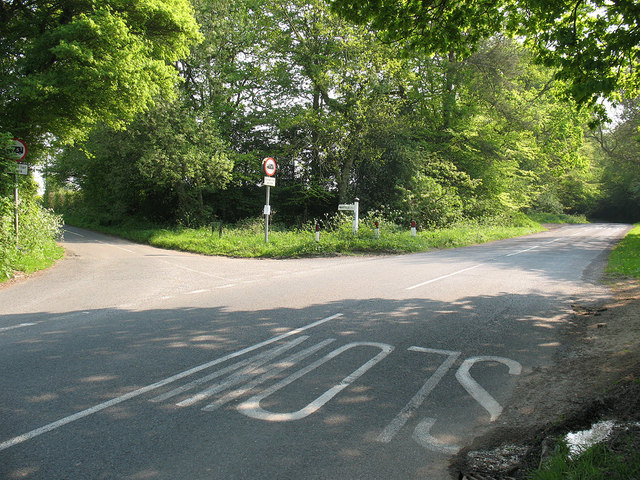
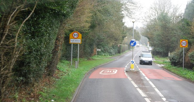
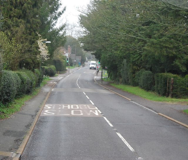
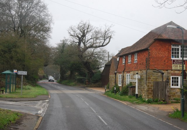
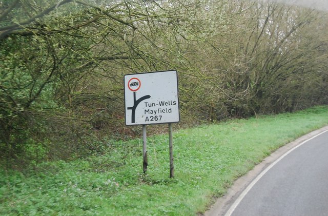
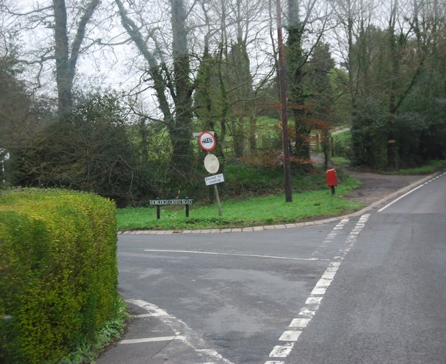
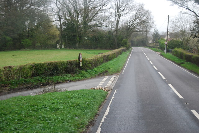
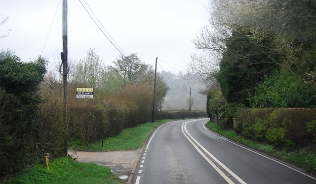
Upper Cowdens Wood Images
Images are sourced within 2km of 51.010179/0.22381587 or Grid Reference TQ5625. Thanks to Geograph Open Source API. All images are credited.


Upper Cowdens Wood is located at Grid Ref: TQ5625 (Lat: 51.010179, Lng: 0.22381587)
Administrative County: East Sussex
District: Wealden
Police Authority: Sussex
What 3 Words
///snowy.fuzz.texted. Near Town Row, East Sussex
Nearby Locations
Related Wikis

Wealden (UK Parliament constituency)
Wealden is a constituency represented in the House of Commons of the UK Parliament since 2015 by Nus Ghani, a Conservative. Ghani is the first Muslim woman...

Wealden District
Wealden is a local government district in East Sussex, England. Its council is based in Hailsham, the district's largest town. The district also includes...

Mayfield railway station
Mayfield was a railway station on the now closed Eridge to Polegate cross country line (the Cuckoo Line). It was built by London, Brighton and South Coast...

Southern Sandstone
Southern Sandstone is a local name for the Ardingly Sandstone of southeast England, a soft sandstone of Cretaceous age separating the Tunbridge Wells Sands...
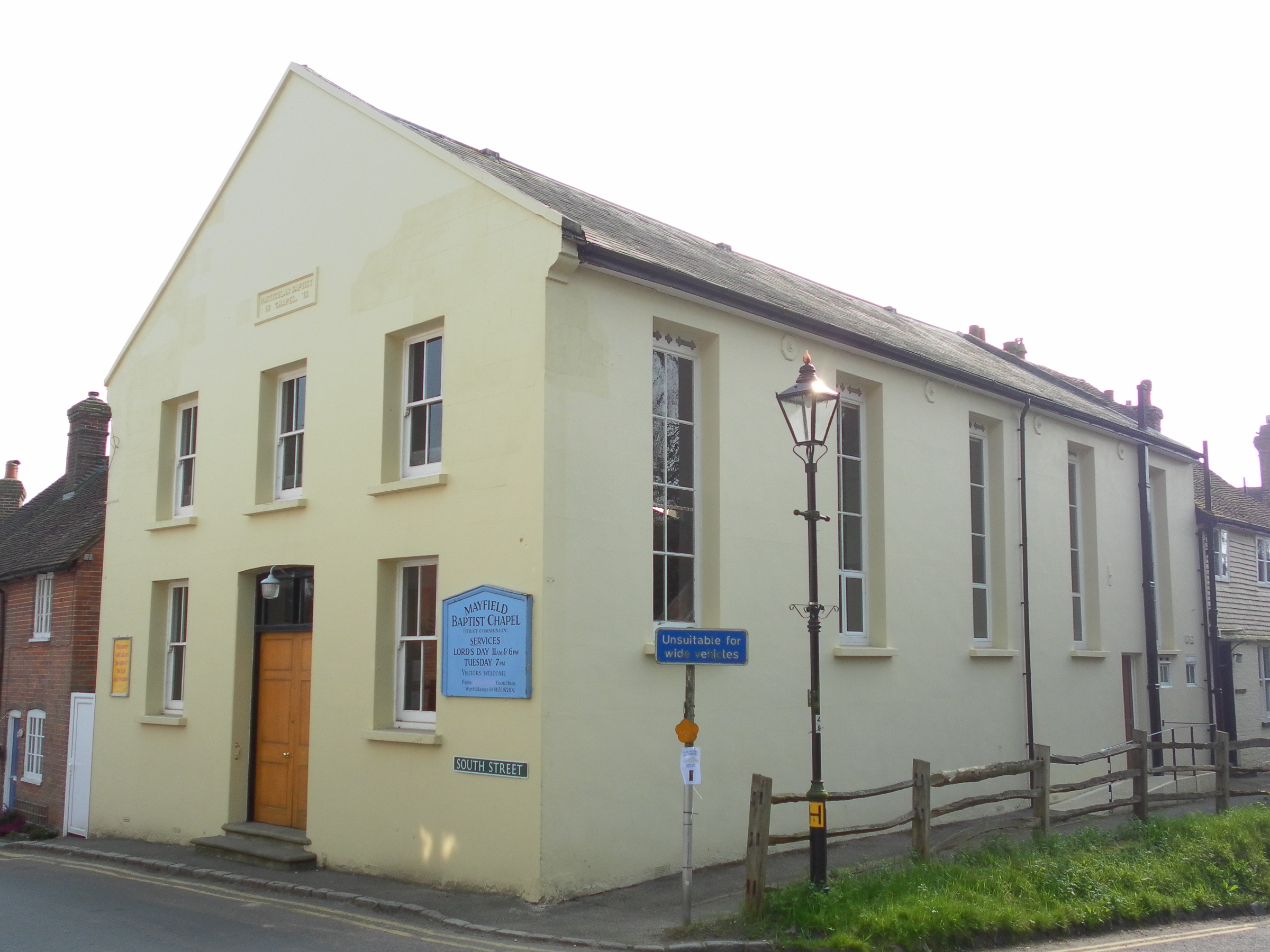
Mayfield Baptist Chapel
Mayfield Baptist Chapel, also known as Mayfield Strict Baptist Chapel, is a place of worship for Gospel Standard Strict Baptists in the village of Mayfield...

Argos Hill Mill, Mayfield
Argos Hill Mill is a grade II* listed post mill at Argos Hill, Mayfield, East Sussex, England As of 2017 it is in the process of restoration by the Argos...
Mayfield and Five Ashes
Mayfield and Five Ashes is a civil parish in the High Weald of East Sussex, England. The two villages making up the principal part of the parish lie on...

Great Bush Railway
The Great Bush Railway is a private, 2 ft (610 mm) narrow gauge running round the edge of Tinkers Park, Hadlow Down, Sussex. The railway is operated by...
Nearby Amenities
Located within 500m of 51.010179,0.22381587Have you been to Upper Cowdens Wood?
Leave your review of Upper Cowdens Wood below (or comments, questions and feedback).