Farnham Common

Settlement in Buckinghamshire

England

Farnham Common

Burnham Beeches Burnham Beeches is owned by the Corporation of London. This ancient woodland is a National Nature Reserve.
Burnham Beeches Credit: David Hawgood

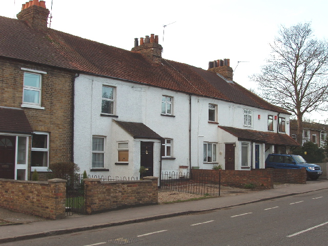
Farnham Common is a small village located in the county of Buckinghamshire, England. Situated approximately 23 miles west of central London, it lies within the South Bucks district and is part of the larger civil parish of Farnham Royal. The village is bordered by the towns of Slough to the southeast and Beaconsfield to the northwest.

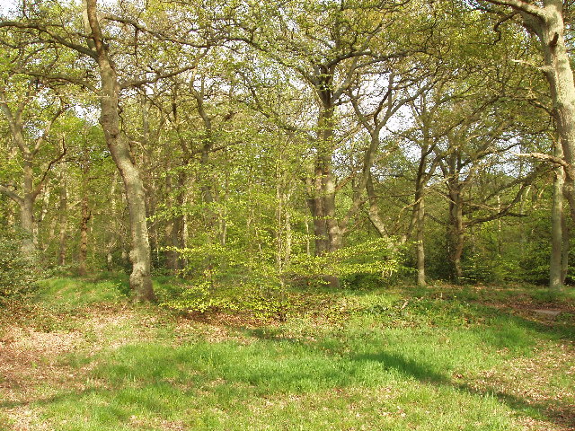
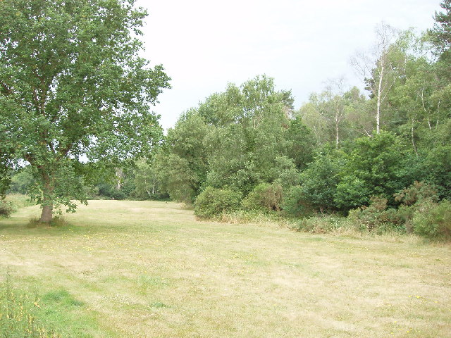
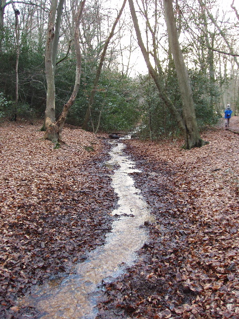
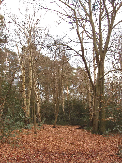
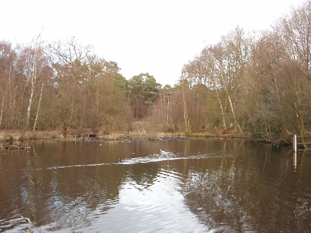
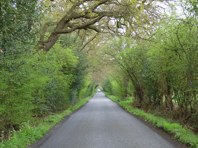
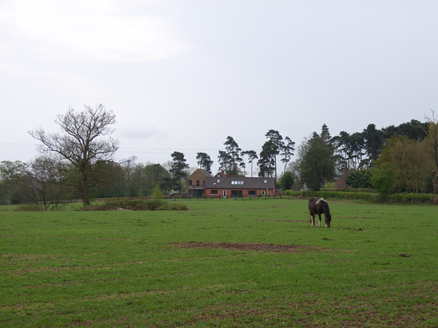
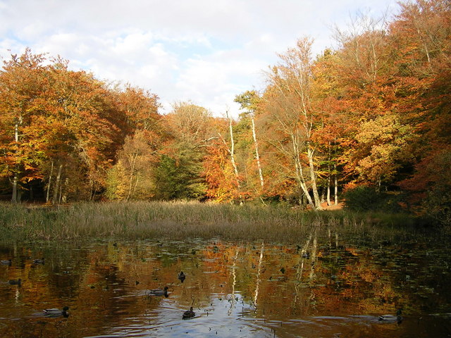
Despite its proximity to urban areas, Farnham Common retains a distinct rural charm, with its picturesque landscape and tranquil atmosphere. The village is surrounded by green fields, woodlands, and several nature reserves, offering ample opportunities for outdoor activities such as walking, cycling, and birdwatching.

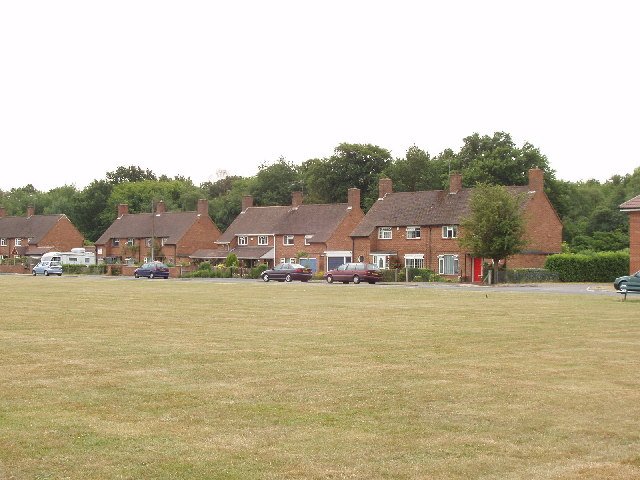
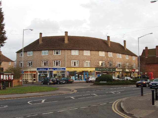
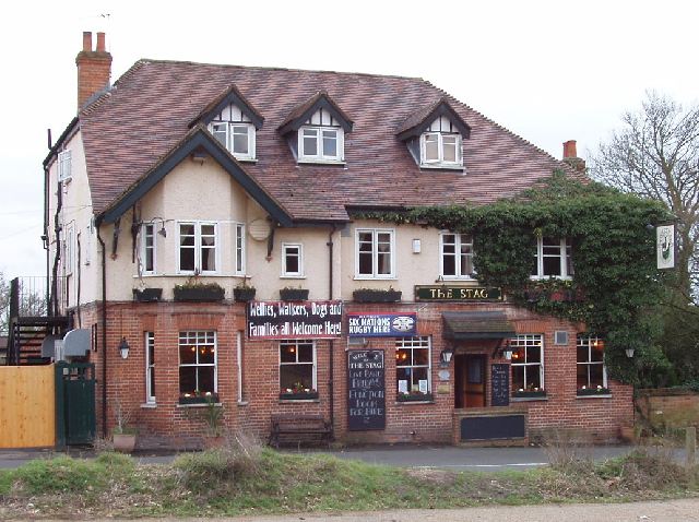
Farnham Common itself has a small but vibrant community, with a range of local amenities including shops, pubs, restaurants, and a community center. The village is also home to a primary school, providing education for local children. Additionally, Farnham Common benefits from excellent transport links, with easy access to major road networks such as the M40 and M4, as well as nearby railway stations in Beaconsfield and Slough.

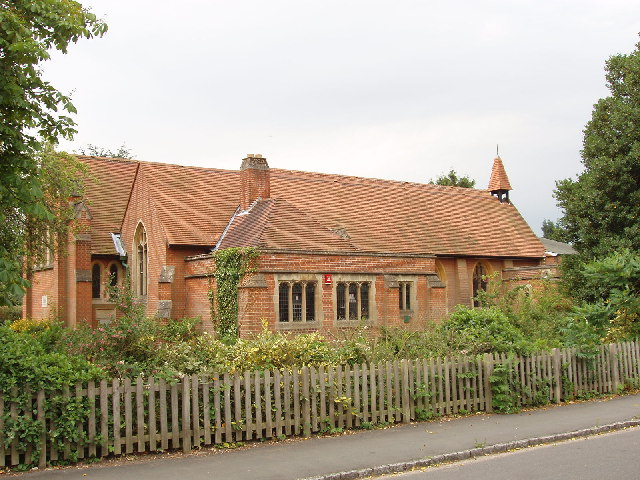
The area is known for its rich history, with several notable landmarks and historic buildings. One of the most prominent is the medieval St. Mary's Church, which dates back to the 13th century. Nearby attractions include Burnham Beeches, a stunning ancient woodland, and the historic village of Farnham Royal. Overall, Farnham Common offers a delightful blend of rural tranquility, convenient location, and historical charm.

If you have any feedback on the listing, please let us know in the comments section below.

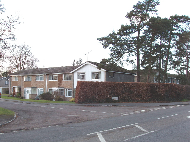
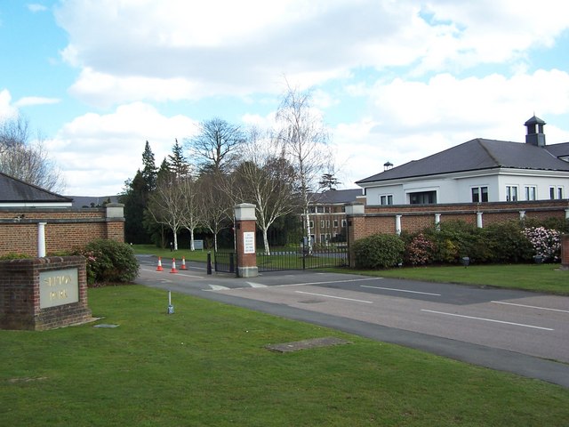
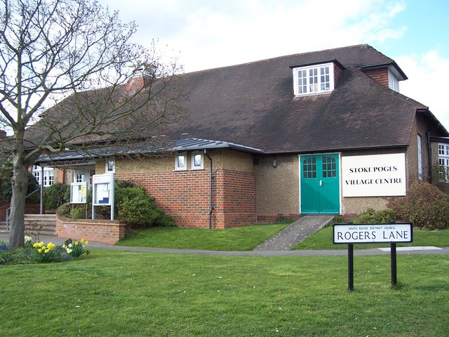
Farnham Common Images

Images are sourced within 2km of 51.553142/-0.607807 or Grid Reference SU9684. Thanks to Geograph Open Source API. All images are credited.

Burnham Beeches Burnham Beeches is owned by the Corporation of London. This ancient woodland is a National Nature Reserve.
Burnham Beeches
Burnham Beeches is owned by the Corporation of London. This ancient woodland is a National Nature Reserve.
Jones Way across the green at Hedgerley Hill This open grassland with a football pitch and children's play area has houses all around it, and the houses back onto woodland.
Jones Way across the green at Hedgerley Hill
This open grassland with a football pitch and children's play area has houses all around it, and the houses back onto woodland.
Stoke Wood reservoir, near Farnham Common A small reservoir holding water for local needs; it is owned by Thames Water
Stoke Wood reservoir, near Farnham Common
A small reservoir holding water for local needs; it is owned by Thames Water
Mobile phone radio mast, near Farnham Common This mast is tucked into the corner of a field next to Brockhurst Wood
Mobile phone radio mast, near Farnham Common
This mast is tucked into the corner of a field next to Brockhurst Wood
Church of St John the Evangelist, Farnham Common Historically this area was in the parish of Farnham Royal, this church was built when the population here grew.
Church of St John the Evangelist, Farnham Common
Historically this area was in the parish of Farnham Royal, this church was built when the population here grew.
East Burnham Common in Burnham Beeches This area was bought by the City of London to preserve it for public enjoyment
East Burnham Common in Burnham Beeches
This area was bought by the City of London to preserve it for public enjoyment
Burnham Beeches
Burnham Beeches
Stream in Burnham Beeches View looking south-west in late afternoon. The shallow stream over gravel takes an overflow from the dam at Upper Pond, and flows into Middle Pond.
Stream in Burnham Beeches
View looking south-west in late afternoon. The shallow stream over gravel takes an overflow from the dam at Upper Pond, and flows into Middle Pond.
Shops in Farnham Common These shops are on Beaconsfield Road, the A355 from Slough to Beaconsfield, at the junction with Rosewood Way. Photo taken from the end of Beeches Road.
Shops in Farnham Common
These shops are on Beaconsfield Road, the A355 from Slough to Beaconsfield, at the junction with Rosewood Way. Photo taken from the end of Beeches Road.
The Stag, Burnham Beeches - walkers welcome! This public house (marked on the OS map) is opposite a large public car park for those walking in Burnham Beeches. A sign on the pub says "Wellies, walkers, dogs and families -  all welcome here".
The Stag, Burnham Beeches - walkers welcome!
This public house (marked on the OS map) is opposite a large public car park for those walking in Burnham Beeches. A sign on the pub says "Wellies, walkers, dogs and families - all welcome here".
Burnham Beeches - birch, beech and holly Walking through the woods from "The Stag" to here, many of the trees were oaks, with some large fir trees. Here they have changed to being a mixture of birch and beech. There are holly bushes under the trees in both areas.
Burnham Beeches - birch, beech and holly
Walking through the woods from "The Stag" to here, many of the trees were oaks, with some large fir trees. Here they have changed to being a mixture of birch and beech. There are holly bushes under the trees in both areas.
Upper pond, Burnham Beeches View looking north-east from the dam at the end of the pond. There are ducks on the pond.
Upper pond, Burnham Beeches
View looking north-east from the dam at the end of the pond. There are ducks on the pond.
Woodland Cottages, Farnham Common These cottages are on the main road through the village, Beaconsfield Road.
Woodland Cottages, Farnham Common
These cottages are on the main road through the village, Beaconsfield Road.
Ingle Glen, Farnham Common An area of mainly small post-war town houses. Photo at the junction with Beaconsfield Road.
Ingle Glen, Farnham Common
An area of mainly small post-war town houses. Photo at the junction with Beaconsfield Road.
Sefton Park - Entrance
Stoke Poges - Village Centre
Duffield Lane The car is approaching Duffield Farm.
Duffield Lane
The car is approaching Duffield Farm.
Rickman's Hill The name seems to vary between 'Rick' and 'Rich'. This is the view from Rickman's Lane, the bridleway on the edge of Brockhurst Wood.
Rickman's Hill
The name seems to vary between 'Rick' and 'Rich'. This is the view from Rickman's Lane, the bridleway on the edge of Brockhurst Wood.
Show me another place!

Farnham Common is located at Grid Ref: SU9684 (Lat: 51.553142, Lng: -0.607807)

Unitary Authority: Buckinghamshire

Police Authority: Thames Valley

What 3 Words

///cliff.create.angel. Near Farnham Royal, Buckinghamshire

Related Wikis

Nearby Amenities

Located within 500m of 51.553142,-0.607807
Turning Circle
Lat/Long: 51.5566117/-0.6108561
Turning Circle
Lat/Long: 51.5542609/-0.6106661
Direction: 180
Generator Method: photovoltaic
Generator Output Electricity: yes
Generator Solar Modules: 12
Generator Source: solar
Generator Type: solar_photovoltaic_panel
Location: roof
Power: generator
Lat/Long: 51.5533894/-0.6146408
Direction: 85
Generator Method: photovoltaic
Generator Output Electricity: yes
Generator Solar Modules: 16
Generator Source: solar
Generator Type: solar_photovoltaic_panel
Location: roof
Power: generator
Lat/Long: 51.5545986/-0.6141725
Direction: 85
Generator Method: photovoltaic
Generator Output Electricity: yes
Generator Solar Modules: 16
Generator Source: solar
Generator Type: solar_photovoltaic_panel
Location: roof
Power: generator
Lat/Long: 51.5547368/-0.614183
Direction: 180
Generator Method: photovoltaic
Generator Output Electricity: yes
Generator Solar Modules: 16
Generator Source: solar
Generator Type: solar_photovoltaic_panel
Location: roof
Power: generator
Lat/Long: 51.5550783/-0.6139983
Direction: 180
Generator Method: photovoltaic
Generator Output Electricity: yes
Generator Solar Modules: 16
Generator Source: solar
Generator Type: solar_photovoltaic_panel
Location: roof
Power: generator
Lat/Long: 51.5550797/-0.6137695
Direction: 90
Generator Method: photovoltaic
Generator Output Electricity: yes
Generator Solar Modules: 10
Generator Source: solar
Generator Type: solar_photovoltaic_panel
Location: roof
Power: generator
Lat/Long: 51.554756/-0.6128002
Direction: 140
Generator Method: photovoltaic
Generator Output Electricity: yes
Generator Solar Modules: 12
Generator Source: solar
Generator Type: solar_photovoltaic_panel
Location: roof
Power: generator
Lat/Long: 51.556679/-0.6111976
Direction: 230
Generator Method: photovoltaic
Generator Output Electricity: yes
Generator Solar Modules: 5
Generator Source: solar
Generator Type: solar_photovoltaic_panel
Location: roof
Power: generator
Lat/Long: 51.5566598/-0.6112718
Direction: 180
Generator Method: photovoltaic
Generator Output Electricity: yes
Generator Solar Modules: 12
Generator Source: solar
Generator Type: solar_photovoltaic_panel
Location: roof
Power: generator
Lat/Long: 51.5559585/-0.6104143
Direction: 180
Generator Method: photovoltaic
Generator Output Electricity: yes
Generator Solar Modules: 12
Generator Source: solar
Generator Type: solar_photovoltaic_panel
Location: roof
Power: generator
Lat/Long: 51.5556791/-0.6104291
Direction: 175
Generator Method: photovoltaic
Generator Output Electricity: yes
Generator Solar Modules: 4
Generator Source: solar
Generator Type: solar_photovoltaic_panel
Location: roof
Power: generator
Lat/Long: 51.5534337/-0.6117241
Give Way
Direction: backward
Lat/Long: 51.5510177/-0.6117703
Post Box
Operator: Royal Mail
Operator Wikidata: Q638098
Ref: SL2 80
Lat/Long: 51.5544209/-0.6122735
Post Box
Operator: Royal Mail
Operator Wikidata: Q638098
Post Box Type: yes
Ref: SL2 75
Royal Cypher: GR
Lat/Long: 51.5509613/-0.6116671
The data included in this document is from www.openstreetmap.org. The data is made available under ODbL.

Have you been to Farnham Common?

Leave your review of Farnham Common below (or comments, questions and feedback).