Old Orchard Wood

Wood, Forest in Buckinghamshire

England

Old Orchard Wood

Memorial of Thomas Gray The memorial of Thomas Gray - erected in 1788. <span class="nowrap"><a title="http://www.poetsgraves.co.uk/gray.htm" rel="nofollow ugc noopener" href="http://www.poetsgraves.co.uk/gray.htm">Link</a><img style="margin-left:2px;" alt="External link" title="External link - shift click to open in new window" src="https://s1.geograph.org.uk/img/external.png" width="10" height="10"/></span>
Memorial of Thomas Gray Credit: Jonathan Dew

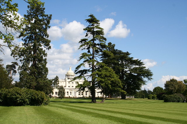
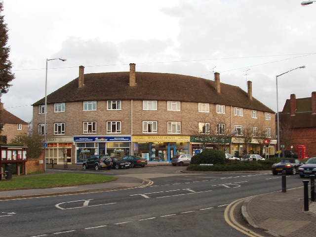
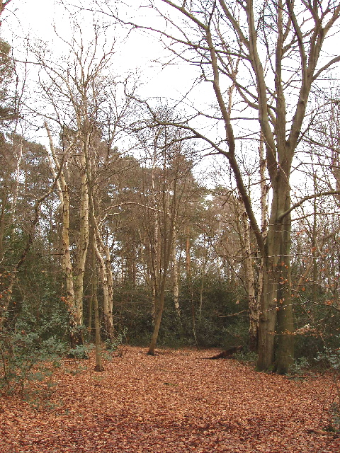
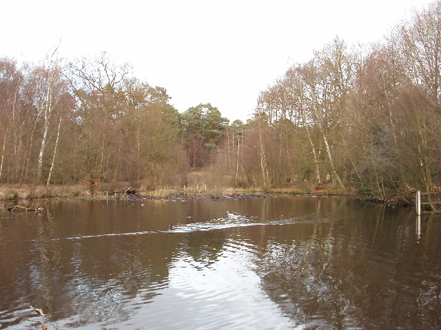
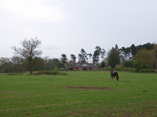
Old Orchard Wood is a picturesque forest located in the county of Buckinghamshire, England. Covering an area of approximately 100 acres, it is renowned for its natural beauty and tranquil atmosphere. The wood is situated on the outskirts of the village of Old Orchard, providing a peaceful retreat away from the hustle and bustle of urban life.

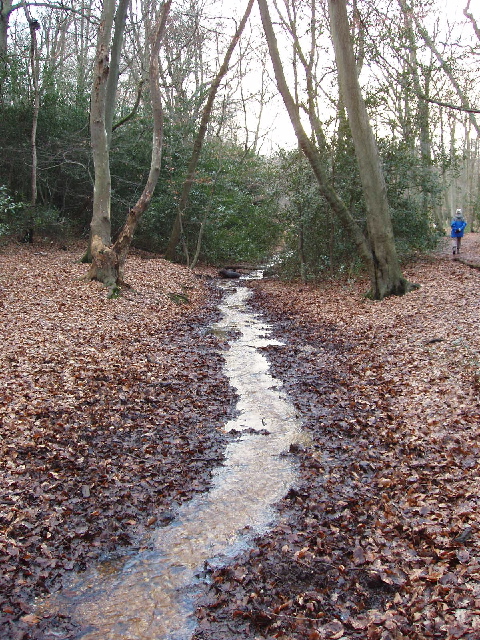
The forest is predominantly made up of ancient broadleaf trees, including oak, beech, and ash, which have stood tall for centuries and create a dense canopy overhead. The woodland floor is carpeted with a variety of flora, such as bluebells, wild garlic, and wood anemones, which bloom in abundance during the springtime, creating a colorful and fragrant display.

Old Orchard Wood is home to a diverse range of wildlife, making it a popular destination for nature enthusiasts and birdwatchers. Visitors may spot native species such as deer, foxes, badgers, and squirrels, as well as a multitude of bird species like woodpeckers, owls, and thrushes.

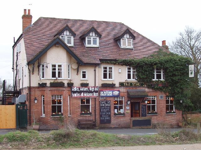
The forest offers several walking trails, allowing visitors to explore its beauty at their own pace. There are also picnic areas and benches scattered throughout the wood, providing ideal spots for visitors to relax and enjoy the serenity of their surroundings.

Old Orchard Wood is a haven for those seeking tranquility and a connection with nature. Its timeless beauty and rich biodiversity make it a cherished natural asset in Buckinghamshire.

If you have any feedback on the listing, please let us know in the comments section below.

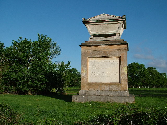
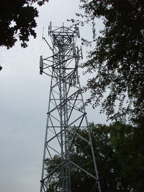
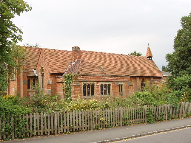
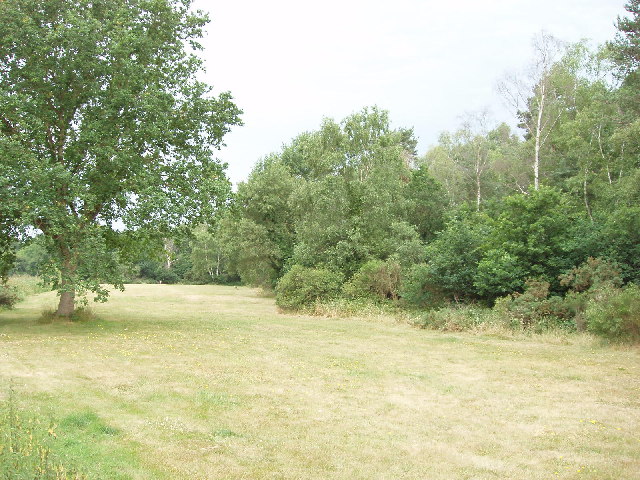
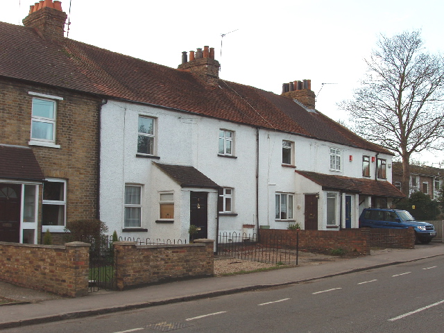
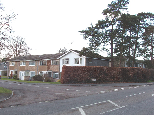
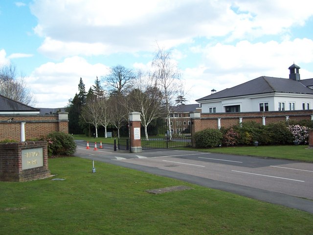
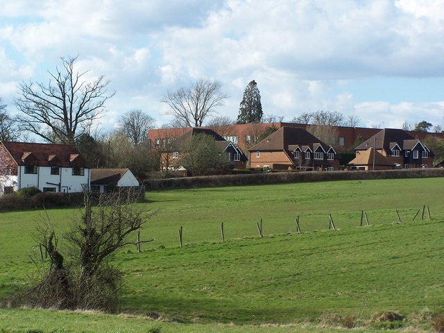
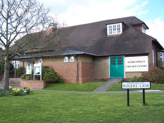
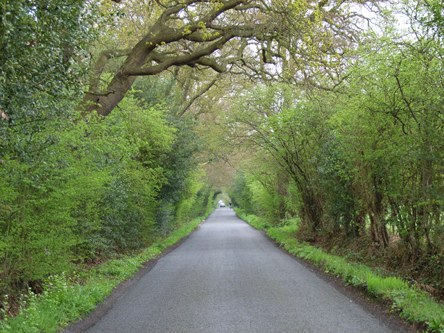
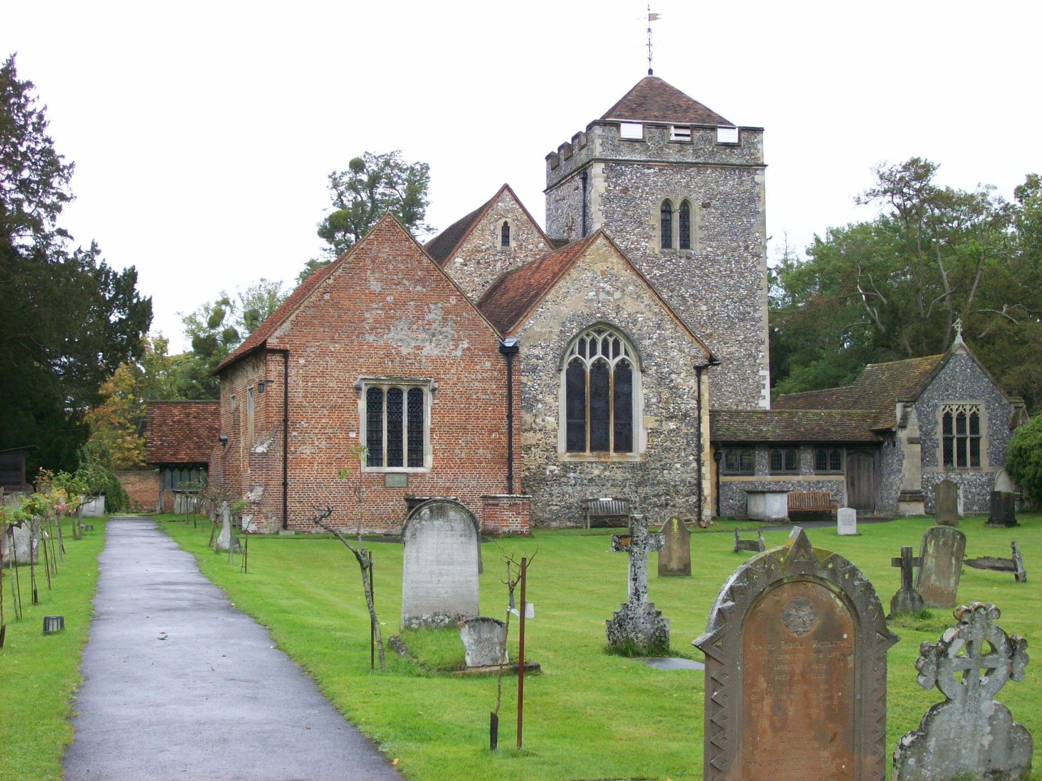
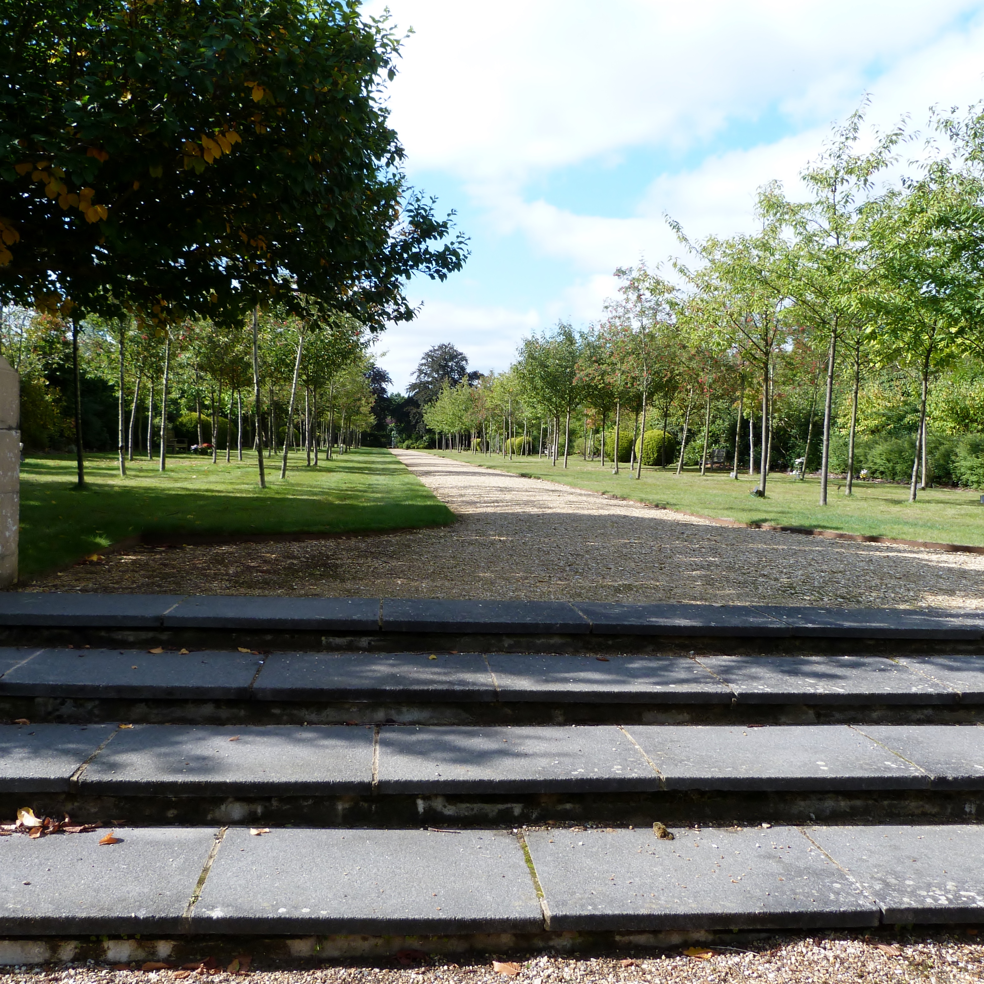
Old Orchard Wood Images

Images are sourced within 2km of 51.54833/-0.60489407 or Grid Reference SU9684. Thanks to Geograph Open Source API. All images are credited.

Memorial of Thomas Gray The memorial of Thomas Gray - erected in 1788. <span class="nowrap"><a title="http://www.poetsgraves.co.uk/gray.htm" rel="nofollow ugc noopener" href="http://www.poetsgraves.co.uk/gray.htm">Link</a><img style="margin-left:2px;" alt="External link" title="External link - shift click to open in new window" src="https://s1.geograph.org.uk/img/external.png" width="10" height="10"/></span>
Memorial of Thomas Gray
The memorial of Thomas Gray - erected in 1788. LinkExternal link
Mobile phone radio mast, near Farnham Common This mast is tucked into the corner of a field next to Brockhurst Wood
Mobile phone radio mast, near Farnham Common
This mast is tucked into the corner of a field next to Brockhurst Wood
Church of St John the Evangelist, Farnham Common Historically this area was in the parish of Farnham Royal, this church was built when the population here grew.
Church of St John the Evangelist, Farnham Common
Historically this area was in the parish of Farnham Royal, this church was built when the population here grew.
East Burnham Common in Burnham Beeches This area was bought by the City of London to preserve it for public enjoyment
East Burnham Common in Burnham Beeches
This area was bought by the City of London to preserve it for public enjoyment
Stoke Park Club, Stoke Poges
St. Mary, Farnham Royal
Stream in Burnham Beeches View looking south-west in late afternoon. The shallow stream over gravel takes an overflow from the dam at Upper Pond, and flows into Middle Pond.
Stream in Burnham Beeches
View looking south-west in late afternoon. The shallow stream over gravel takes an overflow from the dam at Upper Pond, and flows into Middle Pond.
Shops in Farnham Common These shops are on Beaconsfield Road, the A355 from Slough to Beaconsfield, at the junction with Rosewood Way. Photo taken from the end of Beeches Road.
Shops in Farnham Common
These shops are on Beaconsfield Road, the A355 from Slough to Beaconsfield, at the junction with Rosewood Way. Photo taken from the end of Beeches Road.
The Stag, Burnham Beeches - walkers welcome! This public house (marked on the OS map) is opposite a large public car park for those walking in Burnham Beeches. A sign on the pub says "Wellies, walkers, dogs and families -  all welcome here".
The Stag, Burnham Beeches - walkers welcome!
This public house (marked on the OS map) is opposite a large public car park for those walking in Burnham Beeches. A sign on the pub says "Wellies, walkers, dogs and families - all welcome here".
Burnham Beeches - birch, beech and holly Walking through the woods from "The Stag" to here, many of the trees were oaks, with some large fir trees. Here they have changed to being a mixture of birch and beech. There are holly bushes under the trees in both areas.
Burnham Beeches - birch, beech and holly
Walking through the woods from "The Stag" to here, many of the trees were oaks, with some large fir trees. Here they have changed to being a mixture of birch and beech. There are holly bushes under the trees in both areas.
Upper pond, Burnham Beeches View looking north-east from the dam at the end of the pond. There are ducks on the pond.
Upper pond, Burnham Beeches
View looking north-east from the dam at the end of the pond. There are ducks on the pond.
Woodland Cottages, Farnham Common These cottages are on the main road through the village, Beaconsfield Road.
Woodland Cottages, Farnham Common
These cottages are on the main road through the village, Beaconsfield Road.
Ingle Glen, Farnham Common An area of mainly small post-war town houses. Photo at the junction with Beaconsfield Road.
Ingle Glen, Farnham Common
An area of mainly small post-war town houses. Photo at the junction with Beaconsfield Road.
Sefton Park - Entrance
Houses East of Sefton Park Taken from Farthing Green Lane - looking North East
Houses East of Sefton Park
Taken from Farthing Green Lane - looking North East
Stoke Poges - Village Centre
Duffield Lane The car is approaching Duffield Farm.
Duffield Lane
The car is approaching Duffield Farm.
Rickman's Hill The name seems to vary between 'Rick' and 'Rich'. This is the view from Rickman's Lane, the bridleway on the edge of Brockhurst Wood.
Rickman's Hill
The name seems to vary between 'Rick' and 'Rich'. This is the view from Rickman's Lane, the bridleway on the edge of Brockhurst Wood.
Show me another place!

Old Orchard Wood is located at Grid Ref: SU9684 (Lat: 51.54833, Lng: -0.60489407)

Unitary Authority: Buckinghamshire

Police Authority: Thames Valley

What 3 Words

///guard.rash.carry. Near Stoke Poges, Buckinghamshire

Related Wikis

Nearby Amenities

Located within 500m of 51.54833,-0.60489407
The data included in this document is from www.openstreetmap.org. The data is made available under ODbL.

Have you been to Old Orchard Wood?

Leave your review of Old Orchard Wood below (or comments, questions and feedback).