Ingram's Copse
Wood, Forest in Buckinghamshire
England
Ingram's Copse
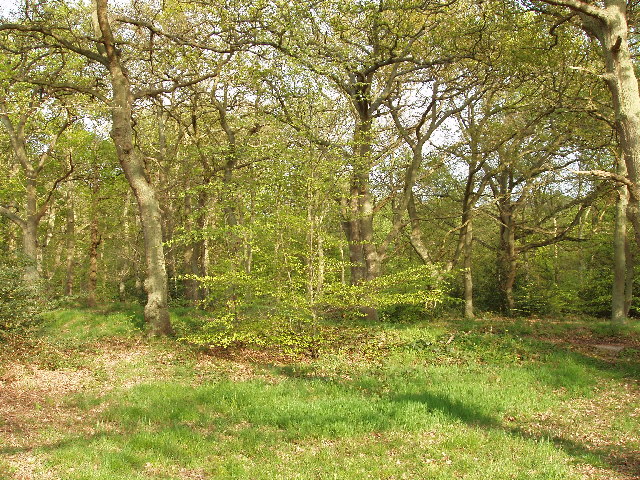
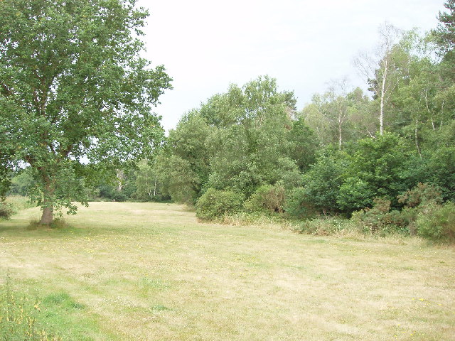
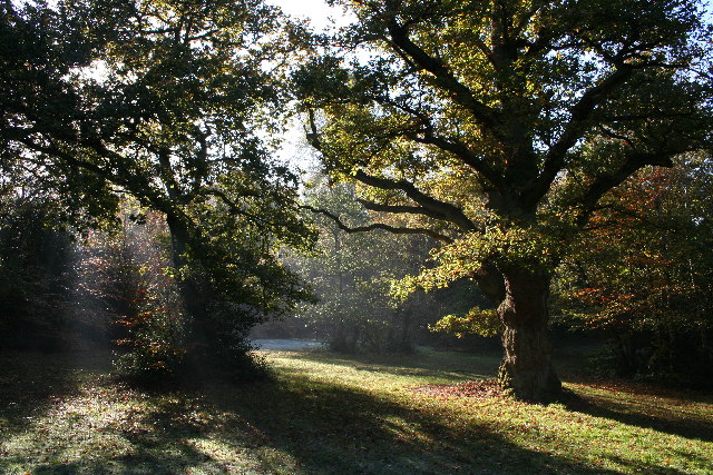
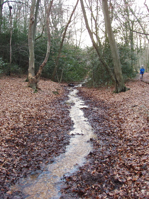
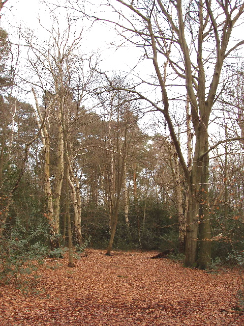
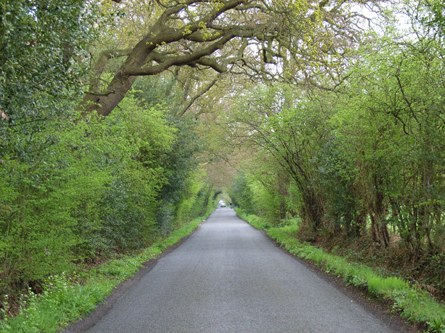
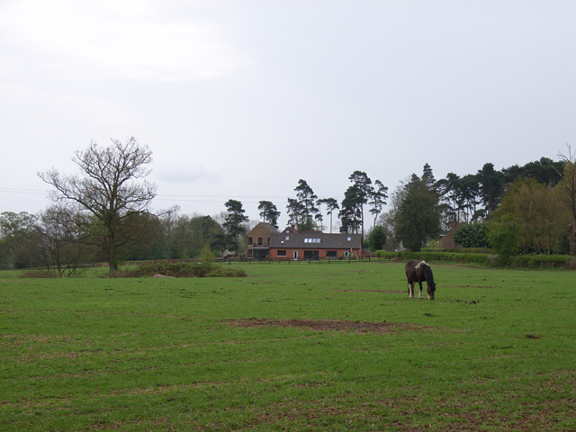
Ingram's Copse is a picturesque woodland area located in Buckinghamshire, England. Covering an area of approximately 100 acres, this beautiful copse is known for its dense vegetation and diverse range of tree species. It is situated on the outskirts of the village of Ingram, making it easily accessible for nature enthusiasts and locals alike.
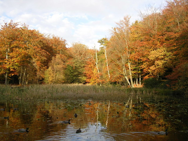
The copse is predominantly composed of deciduous trees, including oak, beech, and ash, which create a dense and vibrant canopy during the summer months. In addition to the impressive tree cover, the forest floor is adorned with a variety of wildflowers and ferns, adding to its charm and natural beauty.
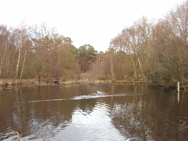
Home to a wide range of wildlife, Ingram's Copse is a haven for nature lovers. Visitors can spot an array of bird species, such as woodpeckers, owls, and thrushes, as well as small mammals like squirrels and hedgehogs. Deer can also be spotted roaming through the woodland, adding to the magical ambiance of the area.
The copse offers several walking trails, allowing visitors to explore its hidden corners and discover its many delights. These trails provide an opportunity to immerse oneself in nature, providing a tranquil escape from the hustle and bustle of daily life.
Overall, Ingram's Copse in Buckinghamshire is a stunning woodland area that offers visitors a chance to connect with nature, enjoy peaceful walks, and admire the beauty of its diverse flora and fauna. Whether it's a leisurely stroll or a more adventurous hike, this enchanting forest is a must-visit destination for anyone seeking solace in the natural world.
If you have any feedback on the listing, please let us know in the comments section below.
Ingram's Copse Images
Images are sourced within 2km of 51.555566/-0.60768747 or Grid Reference SU9684. Thanks to Geograph Open Source API. All images are credited.
Ingram's Copse is located at Grid Ref: SU9684 (Lat: 51.555566, Lng: -0.60768747)
Unitary Authority: Buckinghamshire
Police Authority: Thames Valley
What 3 Words
///flood.topic.deny. Near Farnham Royal, Buckinghamshire
Nearby Locations
Related Wikis

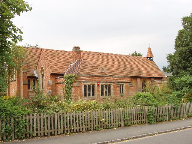
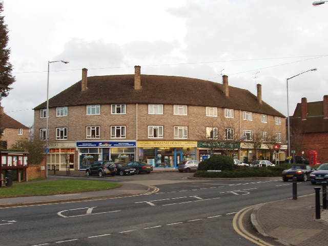
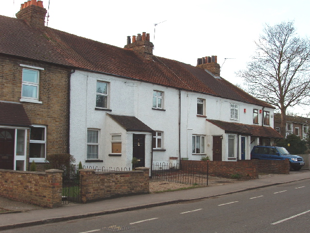
Farnham Common
Farnham Common is a village in Buckinghamshire, England, 3 miles north of Slough and 3 miles south of Beaconsfield, on the A355 road. It adjoins the ancient...
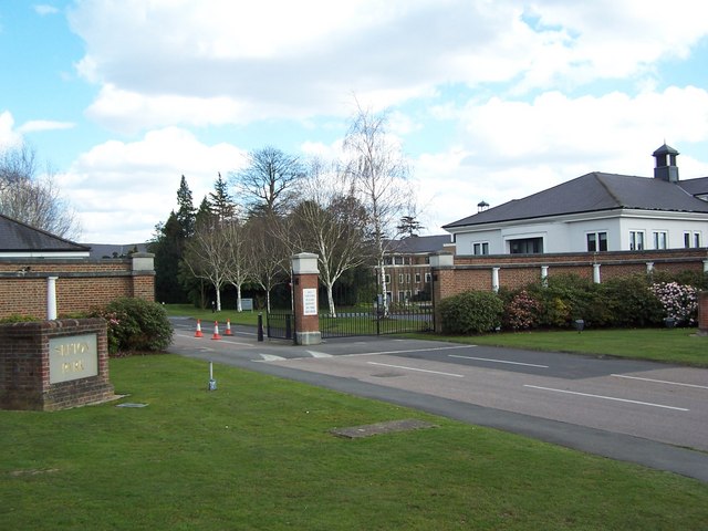
Caldicott School
Caldicott Preparatory School is a prep school for boys aged 7–13 in southern Buckinghamshire, England. == About Caldicott == Caldicott Preparatory School...
Egypt, Buckinghamshire
Egypt is a hamlet in the South Bucks district of Buckinghamshire, England. It is located within Farnham Royal civil parish, just to the north of Farnham...
Burnham Beeches
Burnham Beeches is a 374.6-hectare (926-acre) biological Site of Special Scientific Interest situated west of Farnham Common in the village of Burnham...

Stoke Hundred
Stoke Hundred is a hundred in Buckinghamshire, England. It is situated in the south of the county and is bounded on the east by Middlesex and on the south...

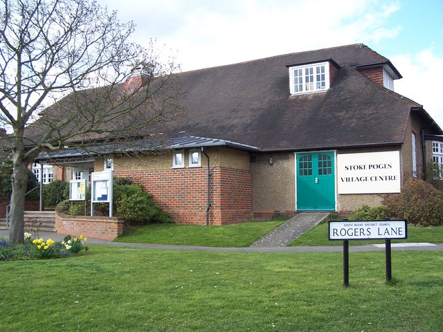
Stoke Poges
Stoke Poges () is a village and civil parish in south-east Buckinghamshire, England. It is centred 3 miles (4.8 km) north-north-east of Slough, its post...

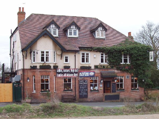
Farnham Royal
Farnham Royal is a village and civil parish within Buckinghamshire, England. It is in the south of the county, immediately north of Slough (with which...

Fulmer Research Institute
Fulmer Research Institute was founded in 1945 as a UK contract research and development organization specializing in materials technology and related areas...
Nearby Amenities
Located within 500m of 51.555566,-0.60768747Have you been to Ingram's Copse?
Leave your review of Ingram's Copse below (or comments, questions and feedback).