Beggarshall Coppice

Wood, Forest in Essex Uttlesford

England

Beggarshall Coppice

Straight road near Forest Farm This very straight section is about a kilometre in length and may mark the route of a Roman road heading for Takeley Street (several other straight sections occur between here and Takeley Street). "Street" in a place name often denotes a settlement on a Roman road and indeed Takeley Street is on Stane Street running east to west. I think it's not too fanciful to see this as a Roman route to Stane Street.
Straight road near Forest Farm Credit: Trevor Harris

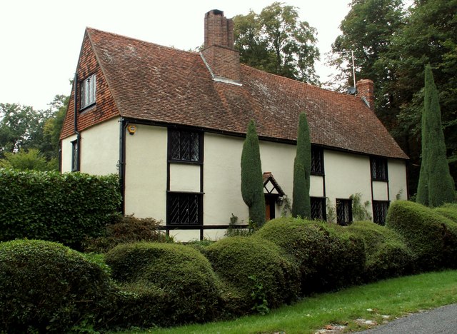
Beggarshall Coppice is a woodland area located in Essex, England. Covering approximately 52 hectares, it is situated near the village of Danbury and offers a peaceful and scenic retreat for nature enthusiasts and walkers alike.

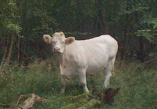
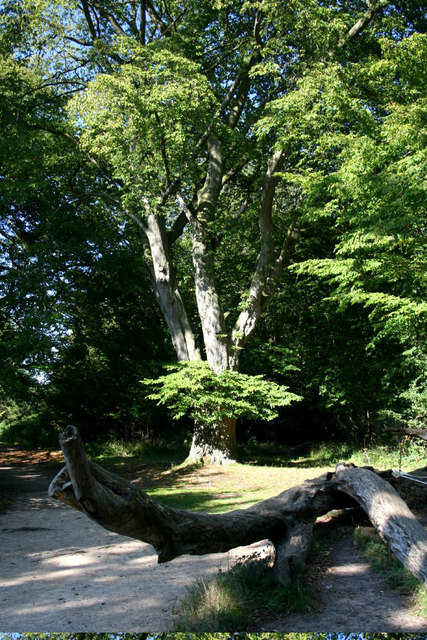
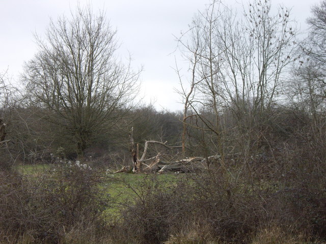
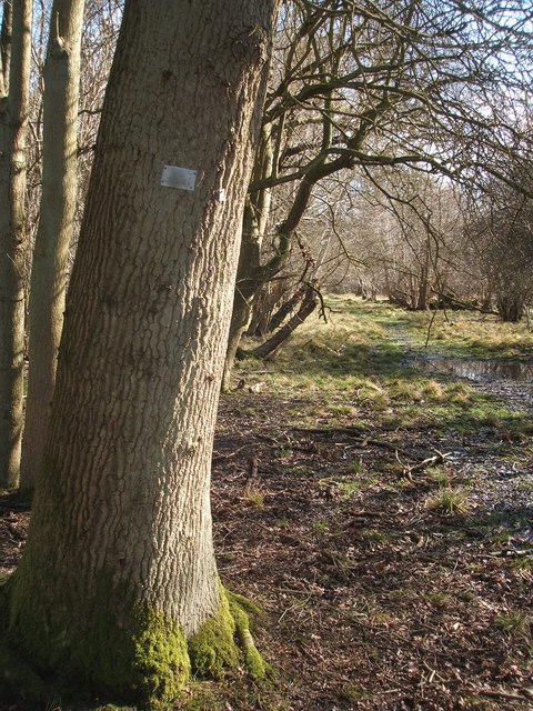
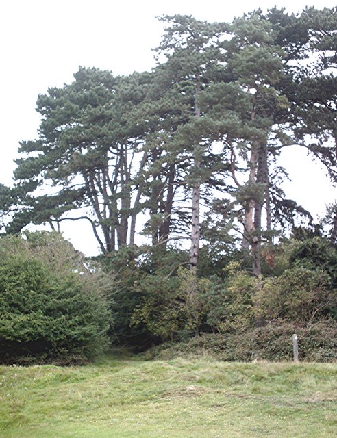
The coppice is primarily composed of mixed deciduous trees, including oak, ash, and beech, which create a diverse and vibrant environment. The woodland floor is adorned with a variety of wildflowers and ferns, providing a haven for many species of birds, insects, and small mammals.

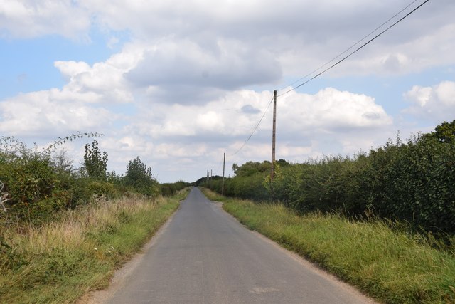
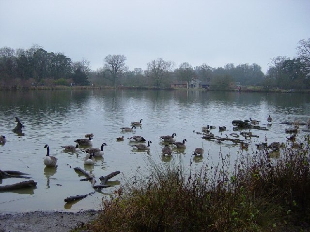
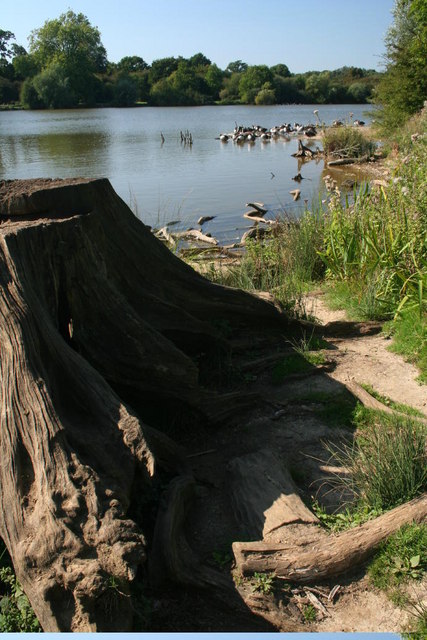
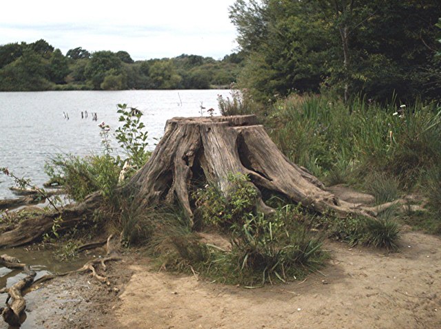
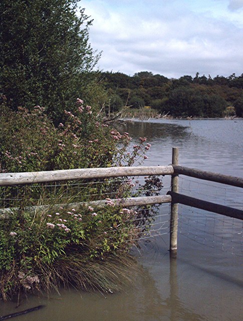
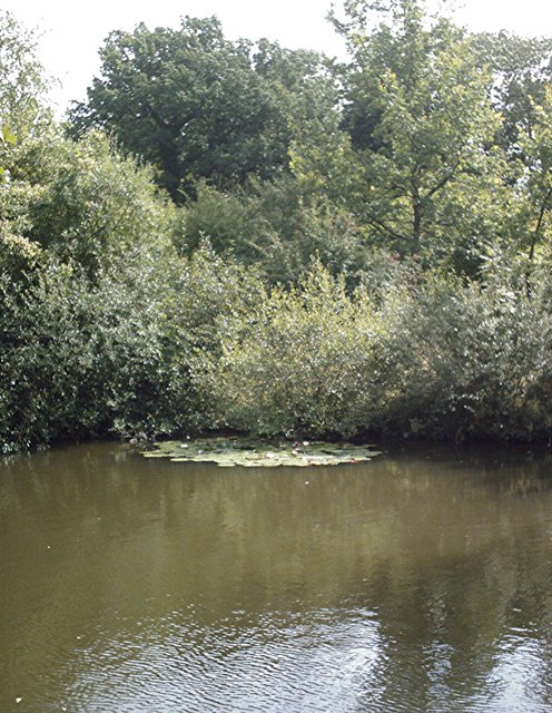
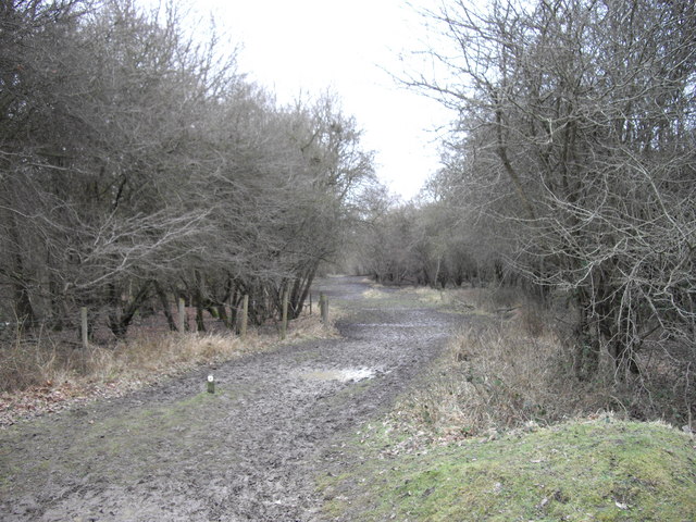
Trails and footpaths meander through the coppice, allowing visitors to explore its beauty at their own pace. The paths are well-maintained and provide easy access for both leisurely strolls and more rigorous hikes. Along the way, walkers may encounter a picturesque pond or stumble upon a hidden clearing, further adding to the charm of the area.

Beggarshall Coppice is also renowned for its rich history. The site has evidence of human activity dating back to the Iron Age, and remnants of ancient earthworks can still be seen today. Archaeological excavations have uncovered artifacts such as pottery shards and tools, shedding light on the lives of those who once inhabited the area.

The coppice is a popular destination for local schools and educational groups, as it provides a valuable opportunity to learn about the natural world and the importance of conservation. The wood is managed by the local authorities and conservation organizations to ensure its preservation and encourage biodiversity.

Overall, Beggarshall Coppice is a precious natural gem in Essex, offering a serene escape into nature, a glimpse into the past, and a valuable educational resource for all who visit.

If you have any feedback on the listing, please let us know in the comments section below.

Beggarshall Coppice Images

Images are sourced within 2km of 51.860734/0.2214535 or Grid Reference TL5320. Thanks to Geograph Open Source API. All images are credited.

Straight road near Forest Farm This very straight section is about a kilometre in length and may mark the route of a Roman road heading for Takeley Street (several other straight sections occur between here and Takeley Street). "Street" in a place name often denotes a settlement on a Roman road and indeed Takeley Street is on Stane Street running east to west. I think it's not too fanciful to see this as a Roman route to Stane Street.
Straight road near Forest Farm
This very straight section is about a kilometre in length and may mark the route of a Roman road heading for Takeley Street (several other straight sections occur between here and Takeley Street). "Street" in a place name often denotes a settlement on a Roman road and indeed Takeley Street is on Stane Street running east to west. I think it's not too fanciful to see this as a Roman route to Stane Street.
Little Barrington Hall Farm
Hatfield Forest. Now a popular park cared for by the National Trust.
Hatfield Forest.
Now a popular park cared for by the National Trust.
The Shell House, Hatfield Forest Jacob Houblon III built The Shell House in about 1754. It was attached to a cottage by his new lake and was occupied by a housekeeper who kept poultry and peacocks. The cottage was later demolished. The Shell House has recently been restored by The National Trust.
The Shell House, Hatfield Forest
Jacob Houblon III built The Shell House in about 1754. It was attached to a cottage by his new lake and was occupied by a housekeeper who kept poultry and peacocks. The cottage was later demolished. The Shell House has recently been restored by The National Trust.
The Lake, Hatfield Forest Looking SW across to the Shell House. This lake was created by Jacob Houblon III in circa 1750 from marshland fed by the Shermore Brook.
The Lake, Hatfield Forest
Looking SW across to the Shell House. This lake was created by Jacob Houblon III in circa 1750 from marshland fed by the Shermore Brook.
St. Giles, Great Hallingbury
House at Bush End, near Hatfield Forest, Essex
Howletts, Hallingbury Street, Essex Hallingbury Street is a dead-end road that is full of interesting houses. This old house stands by the start of the street in Bedlars Green.
Howletts, Hallingbury Street, Essex
Hallingbury Street is a dead-end road that is full of interesting houses. This old house stands by the start of the street in Bedlars Green.
Heifer, Lodge Coppice, Hatfield Forest
Hatfield Forest In Gravelpit Coppice near the lake.
Hatfield Forest
In Gravelpit Coppice near the lake.
The Lake, Hatfield Forest
Damaged trees in Hatfield Park Some unfortunate casualties from the storms in January 2007. Be sure to bring some wellies if you're venturing here too, it's a bit muddy!!
Damaged trees in Hatfield Park
Some unfortunate casualties from the storms in January 2007. Be sure to bring some wellies if you're venturing here too, it's a bit muddy!!
A ride (track) in Round Coppice, Hatfield Forest Hatfield Forest National Nature Reserve is owned and managed by the National Trust.
A ride (track) in Round Coppice, Hatfield Forest
Hatfield Forest National Nature Reserve is owned and managed by the National Trust.
Lakeside stump Hatfield Forest.
Lakeside stump
Hatfield Forest.
Watering place A shallow,muddy,fenced area of the lake much used by thirsty cattle.
Watering place
A shallow,muddy,fenced area of the lake much used by thirsty cattle.
Pond in Collin's Coppice Hatfield Forest pond.
Pond in Collin's Coppice
Hatfield Forest pond.
Pines, Hatfield Forest A small stand of pine trees in Gravelpit Coppice.
Pines, Hatfield Forest
A small stand of pine trees in Gravelpit Coppice.
Muddy Path in Collin's Coppice Collin's Coppice is part of Hatfield Forest.
Muddy Path in Collin's Coppice
Collin's Coppice is part of Hatfield Forest.
Show me another place!

Beggarshall Coppice is located at Grid Ref: TL5320 (Lat: 51.860734, Lng: 0.2214535)

Administrative County: Essex

District: Uttlesford

Police Authority: Essex

What 3 Words

///tapers.marsh.lung. Near Takeley, Essex

Related Wikis

Nearby Amenities

Located within 500m of 51.860734,0.2214535
Six Wantz Ways
Place: locality
Lat/Long: 51.8623104/0.2232243
Portingbury Hills
Archaeological Site: tumulus
Historic: archaeological_site
Lat/Long: 51.8611905/0.2247049
Beggarshall Coppice
Place: locality
Lat/Long: 51.8609565/0.2232991
Round Coppice
Place: locality
Lat/Long: 51.8589157/0.2263676
Hangman's Coppice
Place: locality
Lat/Long: 51.8643355/0.2222263
Barrier: stile
Stile: stepover
Lat/Long: 51.8587161/0.2173957
Barrier: stile
Lat/Long: 51.8608657/0.2190728
Note: West Ride has been stopped up with a fence. It is not known when or if the ride will be re-opened.
Lat/Long: 51.8569186/0.2189011
Beggar's Hall
Place: farm
Lat/Long: 51.8590225/0.2186884
The data included in this document is from www.openstreetmap.org. The data is made available under ODbL.

Have you been to Beggarshall Coppice?

Leave your review of Beggarshall Coppice below (or comments, questions and feedback).