Portingbury Hills

Heritage Site in Essex Uttlesford

England

Portingbury Hills

Junction and Sign The meeting of Hatfield Forest Road/ Wood Row/ Greenhill.
Junction and Sign Credit: David Bremner

Portingbury Hills, located in Essex, England, is a significant heritage site that holds immense historical and cultural value. This ancient landmark is situated on a hilltop, overlooking the picturesque countryside.

Dating back to the Iron Age, Portingbury Hills has witnessed a rich history spanning over thousands of years. The site features the remains of an Iron Age hillfort, which once served as a defensive structure. The fortification is believed to have been occupied between the 3rd century BC and the 1st century AD, with evidence of human habitation and activities during this period.

The hillfort at Portingbury Hills covers an area of approximately 1.5 hectares and is enclosed by a series of earthworks and ditches. These defensive features were strategically designed to protect the inhabitants from potential threats. Excavations at the site have uncovered artifacts including pottery fragments, iron tools, and animal bones, shedding light on the daily lives and activities of the ancient community.

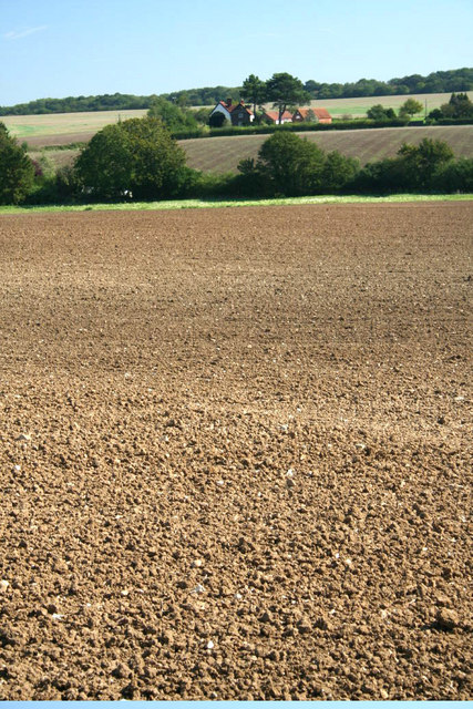
The location of Portingbury Hills offers breathtaking panoramic views of the surrounding landscape, making it an ideal spot for visitors to appreciate the natural beauty of the area. The site is also a popular destination for history enthusiasts, archaeologists, and researchers who are keen to explore and study the rich heritage that lies within its boundaries.

Portingbury Hills, with its well-preserved earthworks and historical significance, is a testament to the ancient civilization that once thrived in this part of Essex. As a designated heritage site, it serves as a window into the past, allowing visitors to connect with the region's cultural heritage and gain a deeper understanding of the people who once called this place home.

If you have any feedback on the listing, please let us know in the comments section below.

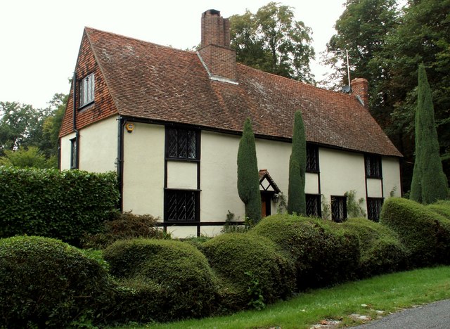
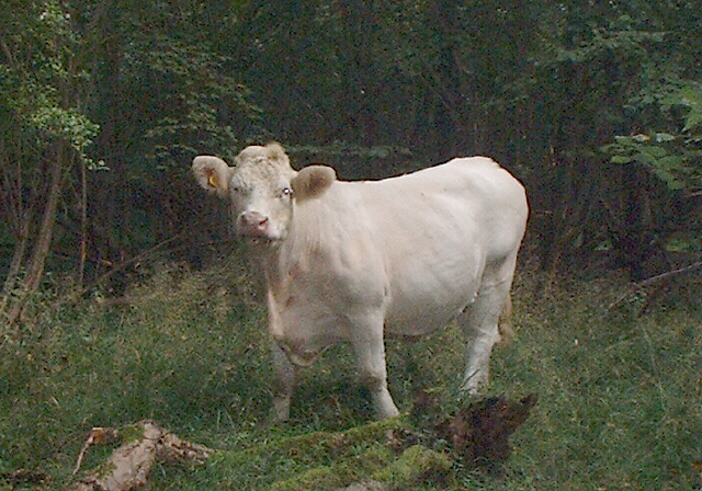
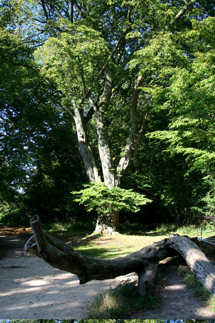
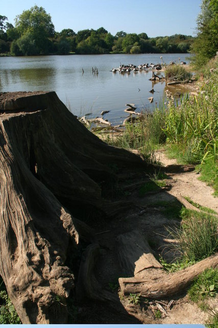
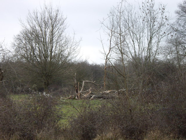
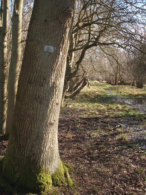
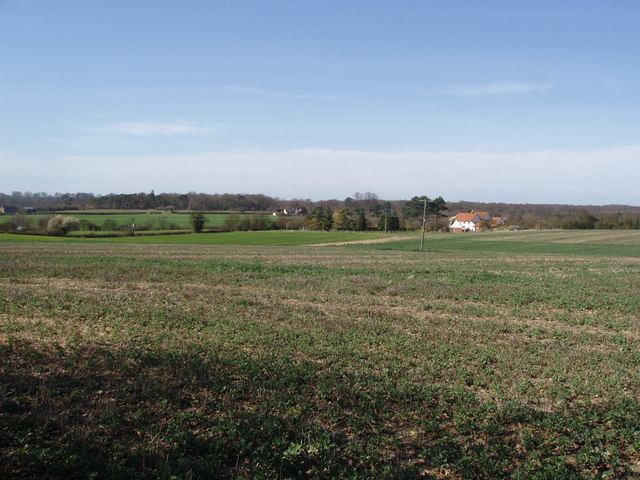
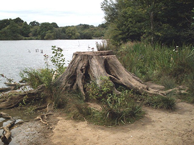
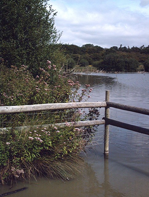
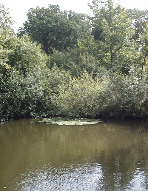
Portingbury Hills Images

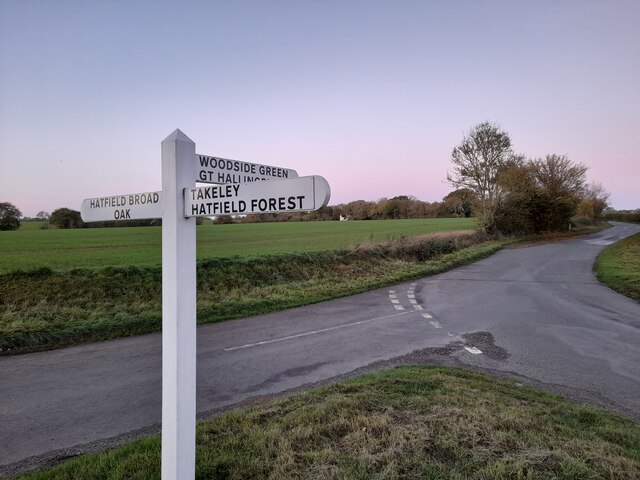
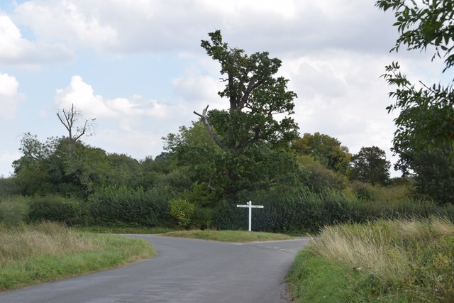
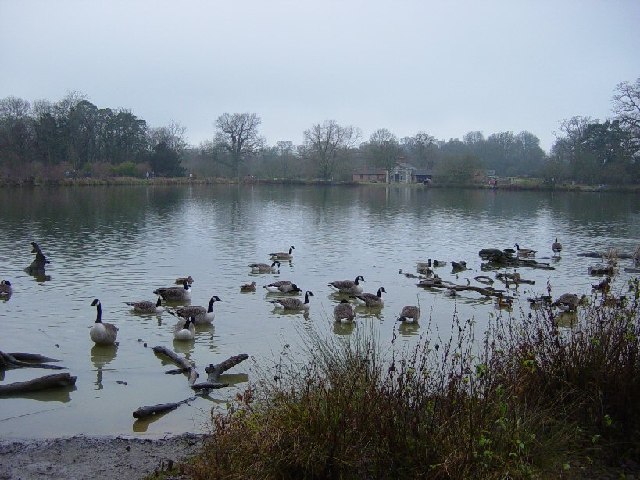
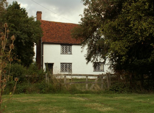
Images are sourced within 2km of 51.862/0.23 or Grid Reference TL5320. Thanks to Geograph Open Source API. All images are credited.

Junction and Sign The meeting of Hatfield Forest Road/ Wood Row/ Greenhill.
Junction and Sign
The meeting of Hatfield Forest Road/ Wood Row/ Greenhill.
Finger post at junction near Bridgefoot Farm Directions shown are left to Takeley and Hatfield Forest, right to Hatfield Broad Oak, and towards the photographer, to Woodside Green and Hallingbury. For a close-up see photo from contributor David Bremner <a href="https://www.geograph.org.uk/photo/7329457">TL5418 : Junction and Sign</a>
Finger post at junction near Bridgefoot Farm
Directions shown are left to Takeley and Hatfield Forest, right to Hatfield Broad Oak, and towards the photographer, to Woodside Green and Hallingbury. For a close-up see photo from contributor David Bremner TL5418 : Junction and Sign
Little Barrington Hall Farm
Hatfield Forest. Now a popular park cared for by the National Trust.
Hatfield Forest.
Now a popular park cared for by the National Trust.
The Shell House, Hatfield Forest Jacob Houblon III built The Shell House in about 1754. It was attached to a cottage by his new lake and was occupied by a housekeeper who kept poultry and peacocks. The cottage was later demolished. The Shell House has recently been restored by The National Trust.
The Shell House, Hatfield Forest
Jacob Houblon III built The Shell House in about 1754. It was attached to a cottage by his new lake and was occupied by a housekeeper who kept poultry and peacocks. The cottage was later demolished. The Shell House has recently been restored by The National Trust.
The Lake, Hatfield Forest Looking SW across to the Shell House. This lake was created by Jacob Houblon III in circa 1750 from marshland fed by the Shermore Brook.
The Lake, Hatfield Forest
Looking SW across to the Shell House. This lake was created by Jacob Houblon III in circa 1750 from marshland fed by the Shermore Brook.
House at Bush End, near Hatfield Forest, Essex
Howletts, Hallingbury Street, Essex Hallingbury Street is a dead-end road that is full of interesting houses. This old house stands by the start of the street in Bedlars Green.
Howletts, Hallingbury Street, Essex
Hallingbury Street is a dead-end road that is full of interesting houses. This old house stands by the start of the street in Bedlars Green.
Heifer, Lodge Coppice, Hatfield Forest
High House Farm, Bush End
Hatfield Forest In Gravelpit Coppice near the lake.
Hatfield Forest
In Gravelpit Coppice near the lake.
The Lake, Hatfield Forest
Damaged trees in Hatfield Park Some unfortunate casualties from the storms in January 2007. Be sure to bring some wellies if you're venturing here too, it's a bit muddy!!
Damaged trees in Hatfield Park
Some unfortunate casualties from the storms in January 2007. Be sure to bring some wellies if you're venturing here too, it's a bit muddy!!
A ride (track) in Round Coppice, Hatfield Forest Hatfield Forest National Nature Reserve is owned and managed by the National Trust.
A ride (track) in Round Coppice, Hatfield Forest
Hatfield Forest National Nature Reserve is owned and managed by the National Trust.
Watch out- there's an airport about! Looking across this Essex farming landscape, it's difficult to believe that on the horizon is one of the busiest airports in Britain.  This is a view towards Little Barrington Hall and beyond that Hatfield Forest which is a National Trust countryside park.  If BAA get their way and Stansted Airport is tripled in size over the next 15 years, then areas like this will disappear under concrete and sprawling buildings disfigure the landscape.
Watch out- there's an airport about!
Looking across this Essex farming landscape, it's difficult to believe that on the horizon is one of the busiest airports in Britain. This is a view towards Little Barrington Hall and beyond that Hatfield Forest which is a National Trust countryside park. If BAA get their way and Stansted Airport is tripled in size over the next 15 years, then areas like this will disappear under concrete and sprawling buildings disfigure the landscape.
Lakeside stump Hatfield Forest.
Lakeside stump
Hatfield Forest.
Watering place A shallow,muddy,fenced area of the lake much used by thirsty cattle.
Watering place
A shallow,muddy,fenced area of the lake much used by thirsty cattle.
Pond in Collin's Coppice Hatfield Forest pond.
Pond in Collin's Coppice
Hatfield Forest pond.
Show me another place!

Portingbury Hills is located at Grid Ref: TL5320 (Lat: 51.862, Lng: 0.23)

Administrative County: Essex

District: Uttlesford

Police Authority: Essex

What 3 Words

///replying.diverged.tricks. Near Takeley, Essex

Related Wikis

Nearby Amenities

Located within 500m of 51.862,0.23
Parking
Access: yes
Fee: yes
Parking: surface
Lat/Long: 51.8599847/0.2354817
Six Wantz Ways
Place: locality
Lat/Long: 51.8623104/0.2232243
Portingbury Hills
Archaeological Site: tumulus
Historic: archaeological_site
Lat/Long: 51.8611905/0.2247049
The Doodle Oak (site of)
Board Type: history
Check Date: 2021-05-04
Information: board
Source: survey
Tourism: information
Lat/Long: 51.8652075/0.2285765
Beggarshall Coppice
Place: locality
Lat/Long: 51.8609565/0.2232991
Round Coppice
Place: locality
Lat/Long: 51.8589157/0.2263676
Hampton's Coppice
Place: locality
Lat/Long: 51.8652101/0.2317535
The data included in this document is from www.openstreetmap.org. The data is made available under ODbL.

Have you been to Portingbury Hills?

Leave your review of Portingbury Hills below (or comments, questions and feedback).