Hangman's Coppice
Wood, Forest in Essex Uttlesford
England
Hangman's Coppice

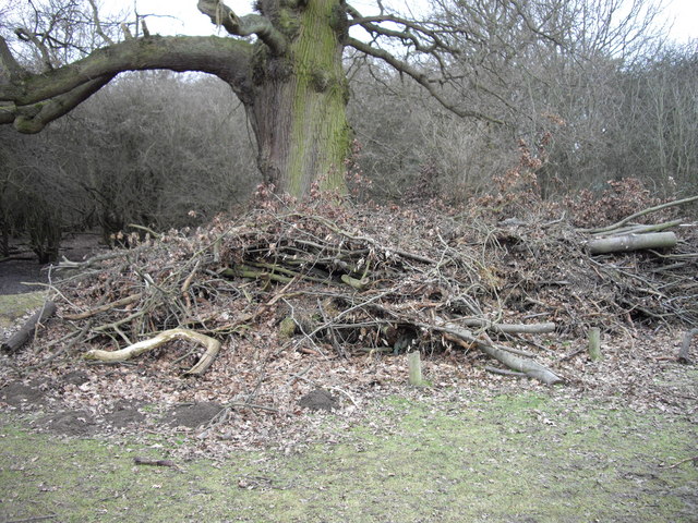
Hangman's Coppice, located in Essex, is a picturesque woodland that covers an area of approximately 50 acres. Nestled in the heart of the county, this enchanting forest is a popular destination for nature lovers and outdoor enthusiasts alike.
The coppice derives its name from a dark and mysterious past. Legend has it that during medieval times, it was a site where criminals were hanged for their crimes, hence the name "Hangman's Coppice." While the historical accuracy of this claim is uncertain, the name has persisted throughout the years, adding an air of intrigue to the woodland.
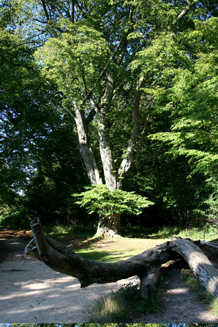
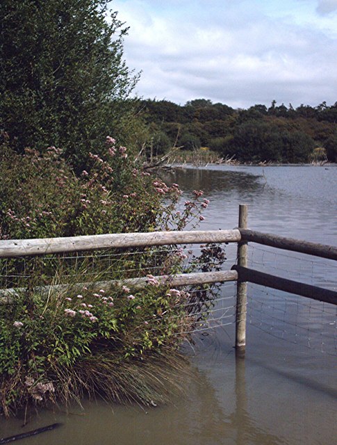
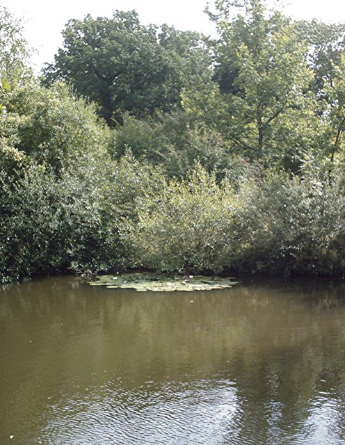
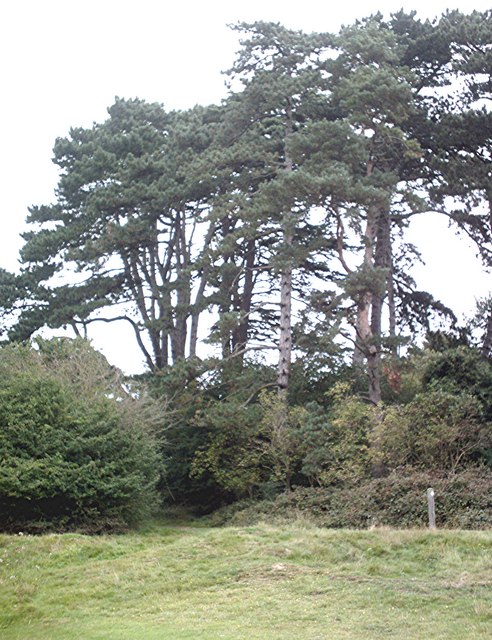
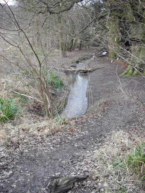
The forest is primarily composed of oak, beech, and birch trees, creating a lush and verdant environment. The towering trees provide a canopy that filters the sunlight, casting dappled shadows on the forest floor. The woodland is also home to a variety of flora and fauna, including bluebells, foxgloves, and various species of birds and butterflies.
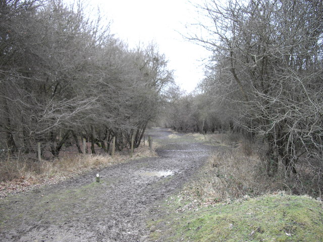
Hangman's Coppice offers several well-marked walking trails that wind through the forest, allowing visitors to explore its natural beauty at their own pace. These trails range in difficulty, catering to both casual strollers and more adventurous hikers. Along the way, there are benches strategically placed, providing opportunities for visitors to sit, relax, and immerse themselves in the tranquil atmosphere.
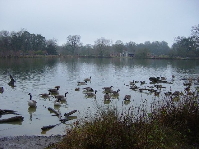
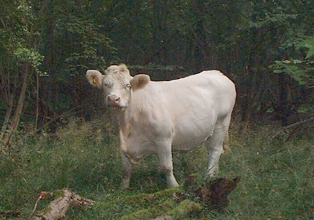
The coppice is a haven for wildlife, with sightings of deer, rabbits, and squirrels being common. Birdwatchers flock to the area to spot species such as woodpeckers, jays, and owls. The forest also houses a small pond, attracting an array of amphibians and insects.
Overall, Hangman's Coppice is a captivating woodland that offers a serene escape from the hustle and bustle of everyday life. Its natural beauty, intriguing history, and diverse wildlife make it a must-visit destination for nature enthusiasts of all ages.
If you have any feedback on the listing, please let us know in the comments section below.
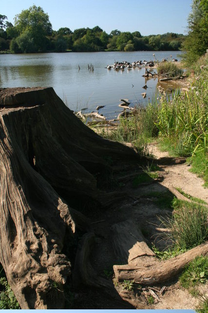
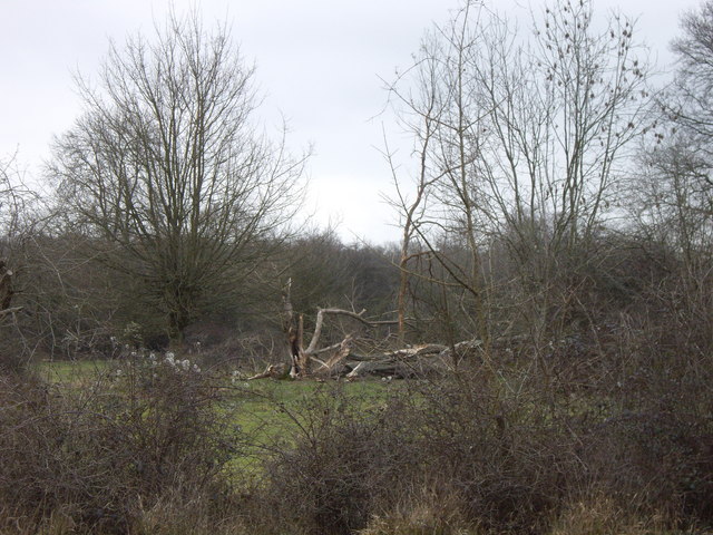
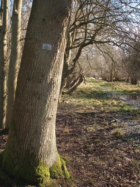
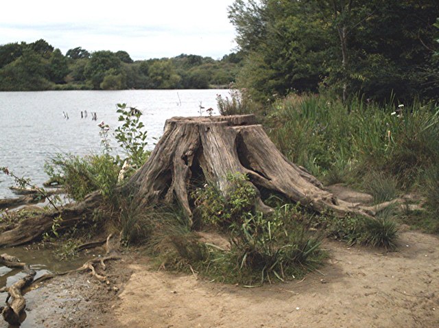
Hangman's Coppice Images
Images are sourced within 2km of 51.86462/0.22328631 or Grid Reference TL5320. Thanks to Geograph Open Source API. All images are credited.


Hangman's Coppice is located at Grid Ref: TL5320 (Lat: 51.86462, Lng: 0.22328631)
Administrative County: Essex
District: Uttlesford
Police Authority: Essex
What 3 Words
///snoozing.crossings.respect. Near Takeley, Essex
Related Wikis

Portingbury Hills
Portingbury Hills (grid reference TL5320) or Portingbury Rings is a hill in Hatfield Forest, Hatfield Broad Oak, Essex, United Kingdom. == Artefacts... ==

Hatfield Forest
Hatfield Forest is a 403.2-hectare (996-acre) biological Site of Special Scientific Interest in Essex, three miles east of Bishop's Stortford. It is also...

Korean Air Cargo Flight 8509
Korean Air Cargo Flight 8509 was a Boeing 747-2B5F, registered HL7451 bound for Milan Malpensa Airport, that crashed due to instrument malfunction and...

Start Hill, Essex
Start Hill is a hamlet on the B1256 road, in the Great Hallingbury civil parish, Uttlesford District, in the English county of Essex. It is near the town...
Thremhall Priory
Thremhall Priory was a community of Augustinian Canons in Great Hallingbury, Essex, England. It was probably founded in around 1150 by Gilbert de Montfichet...
Stane Street Halt railway station
Stane Street Halt railway station was a station serving the community of Takeley Street to the west of the village of Takeley near Bishop's Stortford,...
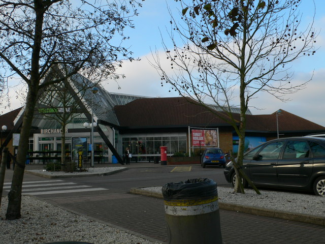
Birchanger Green services
Birchanger Green services is a motorway service station on the M11 motorway at Birchanger near Stansted in Essex, England. It is owned by Welcome Break...
Bedlar's Green
Bedlar's Green is a hamlet in the Uttlesford district of Essex, England adjacent to the village of Great Hallingbury.
Nearby Amenities
Located within 500m of 51.86462,0.22328631Have you been to Hangman's Coppice?
Leave your review of Hangman's Coppice below (or comments, questions and feedback).