Blackhoath Wood
Wood, Forest in Kent Sevenoaks
England
Blackhoath Wood

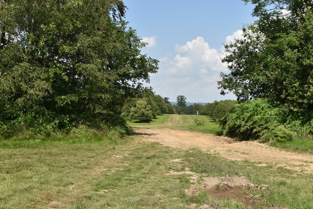
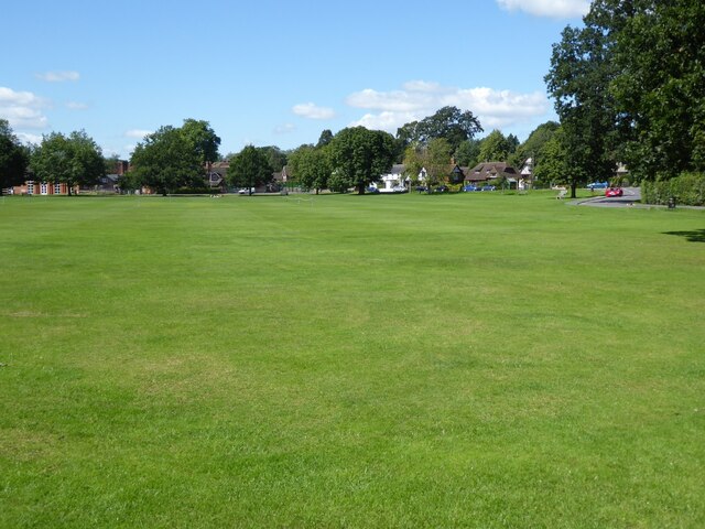
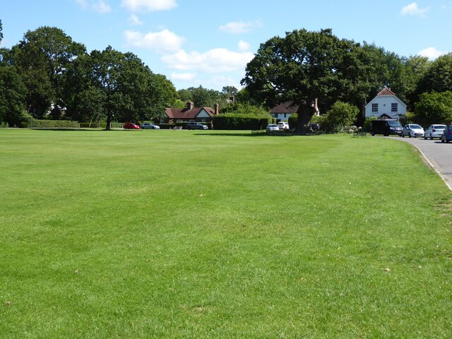
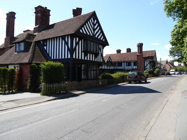
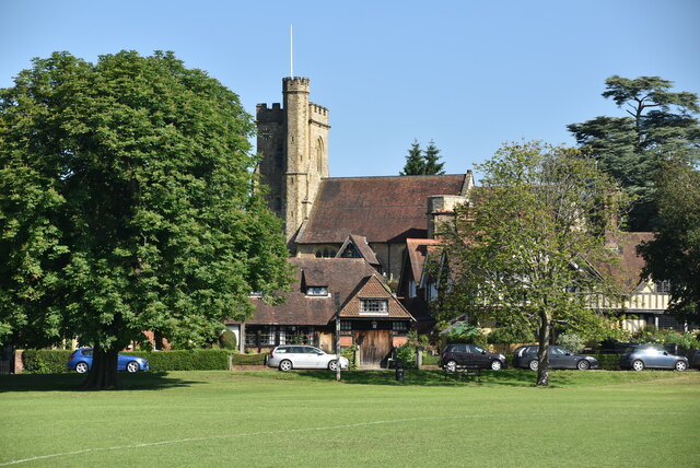
Blackhoath Wood is a charming woodland area located in the county of Kent, England. Situated near the village of Blackhoath, this woodland is a hidden gem for nature enthusiasts and wildlife lovers alike. Covering an area of approximately 100 acres, Blackhoath Wood is a tranquil oasis with a diverse range of flora and fauna.
The wood is primarily composed of ancient and semi-natural woodland, with a mix of deciduous and coniferous trees. Oak, beech, and birch trees dominate the landscape, creating a rich and varied canopy that changes with the seasons. The forest floor is covered in a lush carpet of wildflowers, including bluebells, primroses, and wood anemones, which bloom in vibrant colors during springtime.
Blackhoath Wood is not only visually stunning, but it also serves as a crucial habitat for various wildlife species. Visitors may catch a glimpse of deer, foxes, badgers, and numerous bird species such as woodpeckers, owls, and warblers. The wood is also home to a thriving population of butterflies and other insects, making it an ideal spot for nature photographers and insect enthusiasts.
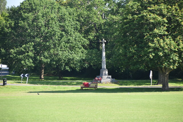
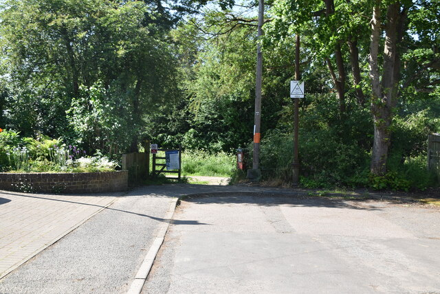
For those seeking outdoor activities, Blackhoath Wood offers several walking trails and paths, allowing visitors to explore its natural beauty at their own pace. The wood is well-maintained and easily accessible, with designated picnic areas and benches for those who wish to relax and enjoy the peaceful surroundings.
In summary, Blackhoath Wood in Kent is a delightful woodland retreat that offers a picturesque setting, abundant wildlife, and opportunities for both relaxation and exploration. It is truly a haven for nature lovers and a must-visit destination for anyone seeking a peaceful escape from the hustle and bustle of everyday life.
If you have any feedback on the listing, please let us know in the comments section below.
Blackhoath Wood Images
Images are sourced within 2km of 51.198583/0.18951983 or Grid Reference TQ5346. Thanks to Geograph Open Source API. All images are credited.


Blackhoath Wood is located at Grid Ref: TQ5346 (Lat: 51.198583, Lng: 0.18951983)
Administrative County: Kent
District: Sevenoaks
Police Authority: Kent
What 3 Words
///falls.chairs.hang. Near Speldhurst, Kent
Nearby Locations
Related Wikis

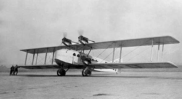
Penshurst Airfield
Penshurst Airfield was an airfield in operation between 1916–36 and 1940–46. Initially a military airfield, after the First World War it was used as an...

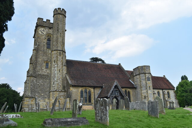
St Luke's Church, Chiddingstone Causeway
St Luke's is a Grade II* listed Church of England church in Chiddingstone Causeway, Kent. It was built in 1897–1898 to a design by John Francis Bentley...

Chiddingstone Causeway
Chiddingstone Causeway is a village 4 miles (6 km) west of Tonbridge in Kent, England. It is within the Sevenoaks local government district. It is in the...

Penshurst railway station
Penshurst railway station is on the Redhill to Tonbridge Line and is located approximately two miles north of Penshurst in Kent, in the village of Chiddingstone...

Leigh railway station
Leigh railway station is on the Redhill to Tonbridge Line and serves Leigh in Kent, England. It is 39 miles 56 chains (39.70 miles, 63.89 km) measured...

St Mary's Church, Leigh
St Mary's Church is a parish church in Leigh, Kent. The current church was originally completed in the 13th century, although a church is believed to have...
October 1926 Air Union Blériot 155 crash
The October 1926 Air Union Blériot 155 crash happened on 2 October 1926 at Leigh, Kent when Blériot 155 F-AICQ caught fire in mid-air and crashed while...

Leigh, Kent
Leigh , historically spelled Lyghe, is a village and a civil parish located in the Sevenoaks district of Kent, England. It is located six miles (10 km...
Nearby Amenities
Located within 500m of 51.198583,0.18951983Have you been to Blackhoath Wood?
Leave your review of Blackhoath Wood below (or comments, questions and feedback).