Derridge Shaw

Wood, Forest in Sussex Wealden

England

Derridge Shaw

Pillbox by Hadlow Down Road Perched on a bank with views over both the road and the valley to the left. The entrance is on the far side.
Pillbox by Hadlow Down Road Credit: Robin Webster

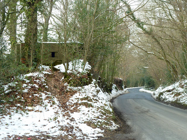
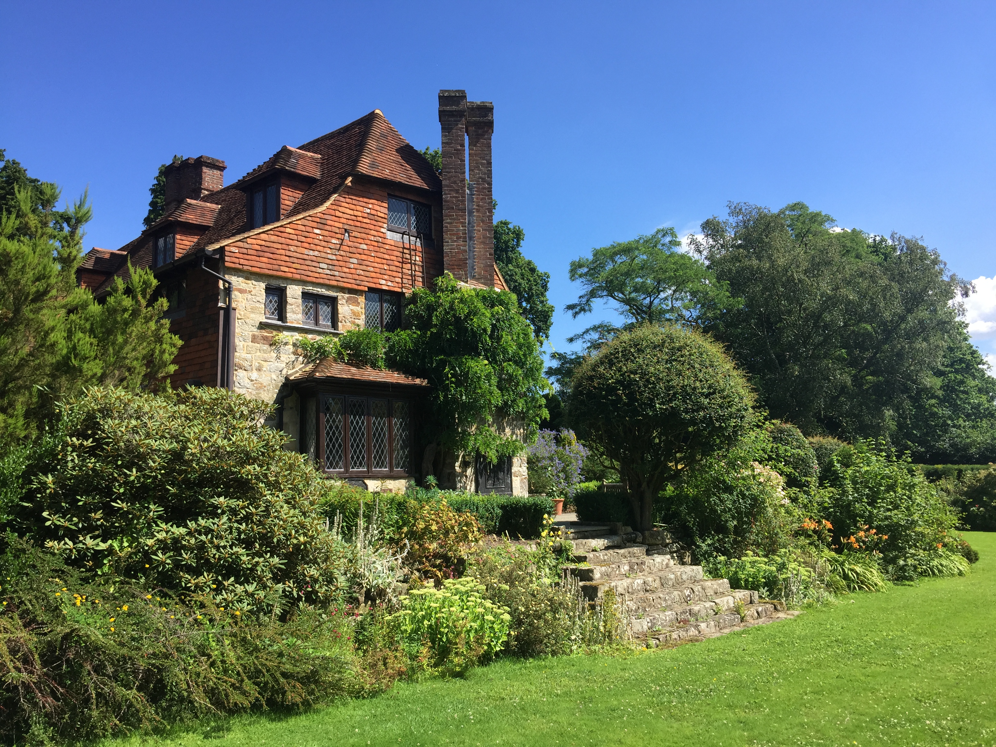
Derridge Shaw is a small wooded area located in Sussex, England. Situated within the larger Sussex Wood and Forest region, it covers an approximate area of 200 acres. The Shaw is characterized by its dense and diverse collection of trees, providing a lush and vibrant habitat for various flora and fauna.

The woodland is primarily composed of a mixture of deciduous and coniferous trees, including oak, beech, pine, and spruce. The combination of these different tree species creates a unique and picturesque landscape, particularly during the autumn season when the foliage transforms into a vibrant array of reds, oranges, and yellows.

Derridge Shaw is home to a wide range of wildlife, making it a popular spot for nature enthusiasts and birdwatchers. It provides a habitat for various bird species, such as woodpeckers, sparrows, and thrushes, as well as small mammals like squirrels, rabbits, and hedgehogs.

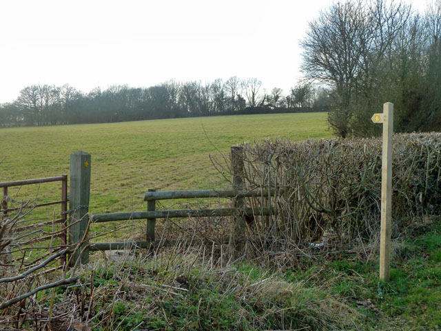
The woodland features a network of well-maintained trails, allowing visitors to explore the area on foot. These paths wind through the trees, providing scenic views and opportunities for peaceful walks or invigorating hikes. Interpretative signs are placed strategically along the trails, providing information about the flora, fauna, and history of the area.

Derridge Shaw offers a tranquil escape from the hustle and bustle of nearby towns and cities, providing visitors with a chance to connect with nature and enjoy the beauty of the Sussex Wood and Forest region. Its rich biodiversity and stunning scenery make it a must-visit destination for those seeking a serene and immersive natural experience.

If you have any feedback on the listing, please let us know in the comments section below.

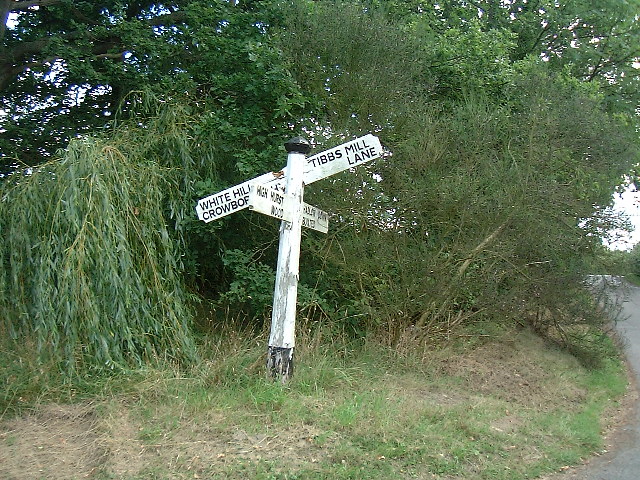
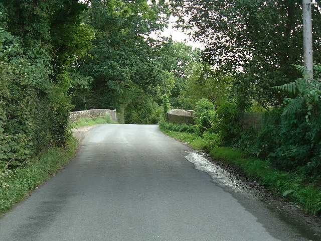
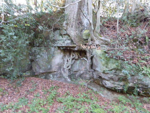
Derridge Shaw Images

Images are sourced within 2km of 51.021899/0.18132674 or Grid Reference TQ5326. Thanks to Geograph Open Source API. All images are credited.

Pillbox by Hadlow Down Road Perched on a bank with views over both the road and the valley to the left. The entrance is on the far side.
Pillbox by Hadlow Down Road
Perched on a bank with views over both the road and the valley to the left. The entrance is on the far side.
For Sale off Steep Road Steep Road bends round to the left. Down a long drive on the right is "Farmhouse, outbuildings and 64 acres" which are for sale. This can only be Rumsden Farm, whose sign is above the for sale sign, and advertises Charolais breeding. Will or does the enterprise continue elsewhere? The company website seems to be vibrant.
For Sale off Steep Road
Steep Road bends round to the left. Down a long drive on the right is "Farmhouse, outbuildings and 64 acres" which are for sale. This can only be Rumsden Farm, whose sign is above the for sale sign, and advertises Charolais breeding. Will or does the enterprise continue elsewhere? The company website seems to be vibrant.
Steep Road at Pinehurst Farm The road name is Steep, it is not markedly steep!
Steep Road at Pinehurst Farm
The road name is Steep, it is not markedly steep!
Treblers Road Not a road for high speeds in these conditions.
Treblers Road
Not a road for high speeds in these conditions.
Stonehurst Lane through unnamed wood This small wood has no name, or if it has, the cartographers were not told of it.
Stonehurst Lane through unnamed wood
This small wood has no name, or if it has, the cartographers were not told of it.
Footpath towards Tibbs Mill Lane Path Hadlow Down 7 starts here on Hastingford Lane.
Footpath towards Tibbs Mill Lane
Path Hadlow Down 7 starts here on Hastingford Lane.
Pylon and woods The near woodland runs along a gill for some considerable distance.
Pylon and woods
The near woodland runs along a gill for some considerable distance.
Land near Hastingford Farm The river Uck runs behind the trees on the right of the photo.
Land near Hastingford Farm
The river Uck runs behind the trees on the right of the photo.
Drive to Huggetts Furnace Farm
Hastingford Lane at River Uck bridge There is a curious skew crossing here. The posts on the left protect the west parapet of the bridge, which is opposite the drive on the right. The east parapet is out of shot this side of the drive.
Hastingford Lane at River Uck bridge
There is a curious skew crossing here. The posts on the left protect the west parapet of the bridge, which is opposite the drive on the right. The east parapet is out of shot this side of the drive.
Treblers Road near Jarvis Brook
Limney Farm near Rotherfield The farm now hosts Davenport Vineyards.
Limney Farm near Rotherfield
The farm now hosts Davenport Vineyards.
Stonehurst Lane, Butcher's Cross, East Sussex
Stonehurst Lane near Hadlow Down The bridge goes over a tributary of the River Uck.
Stonehurst Lane near Hadlow Down
The bridge goes over a tributary of the River Uck.
Huggett's Furnace Huggett's Furnace, an Ironmaster's House.  The iron industry has existed in Sussex since Roman times.  It is claimed that Master Huggett made the first cannon in 1543. A well known little ditty goes:
Master Huggett and his son John,
They did cast the first cannon.
The iron industry in Sussex flourished until 1828 when the last furnace closed.
Huggett's Furnace
Huggett's Furnace, an Ironmaster's House. The iron industry has existed in Sussex since Roman times. It is claimed that Master Huggett made the first cannon in 1543. A well known little ditty goes: Master Huggett and his son John, They did cast the first cannon. The iron industry in Sussex flourished until 1828 when the last furnace closed.
Huggett's Furnace Huggett's Furnace, an Ironmaster's House.  The iron industry has existed in Sussex since Roman Times.  It is claimed that Master Huggett made the first cannon in 1543   A well-known little ditty goes
Master Huggett and his son John,
They did cast the first Cannon.

The iron industry in Sussex flourished until 1828, when the last furnace closed.
Huggett's Furnace
Huggett's Furnace, an Ironmaster's House. The iron industry has existed in Sussex since Roman Times. It is claimed that Master Huggett made the first cannon in 1543 A well-known little ditty goes Master Huggett and his son John, They did cast the first Cannon. The iron industry in Sussex flourished until 1828, when the last furnace closed.
Cross Road at Burnt Oak This is just within this grid square although a referee's decision must be final !
Cross Road at Burnt Oak
This is just within this grid square although a referee's decision must be final !
Railway bridge The Uckfield to London railway line passes under this bridge.
Railway bridge
The Uckfield to London railway line passes under this bridge.
Show me another place!

Derridge Shaw is located at Grid Ref: TQ5326 (Lat: 51.021899, Lng: 0.18132674)

Administrative County: East Sussex

District: Wealden

Police Authority: Sussex

What 3 Words

///ruffling.obviously.chef. Near Crowborough, East Sussex

Related Wikis

Hastingford Cutting

Hastingford Cutting is a 0.04-hectare (0.099-acre) geological Site of Special Scientific Interest south of Crowborough in East Sussex. It is a Geological...

Stockland Farm Meadows

Stockland Farm Meadows is a 5.8-hectare (14-acre) biological Site of Special Scientific Interest south of Crowborough in East Sussex.These two species...

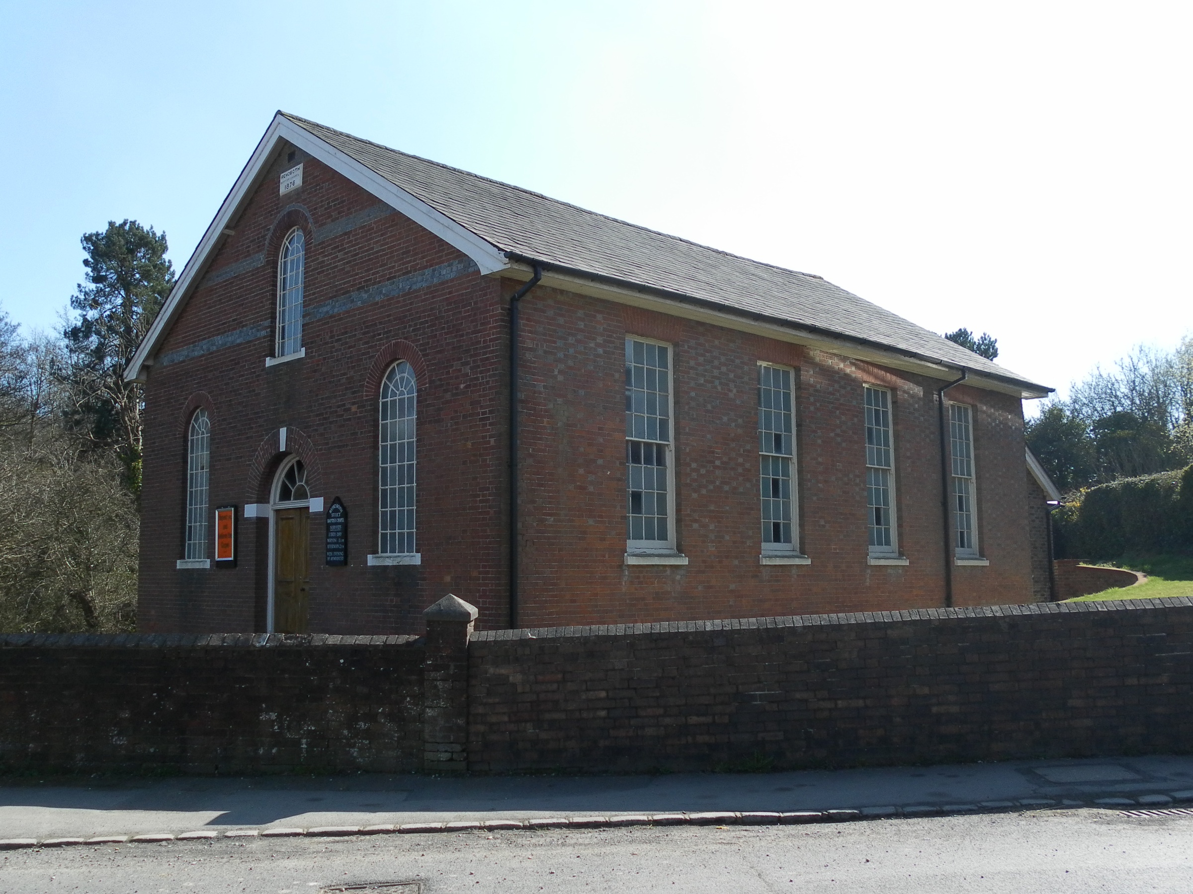
Rehoboth Chapel, Jarvis Brook

The Rehoboth Chapel is a Strict Baptist place of worship in the village of Jarvis Brook in the English county of East Sussex. The red- and blue-brick building...

Hadlow Down

Hadlow Down is a village and civil parish in the Wealden District of East Sussex, England. It is located on the A272 road three miles (4.8 km) north-west...

Crowborough Athletic F.C.

Crowborough Athletic Football Club is a football club based in Crowborough, East Sussex, England. Affiliated to the Sussex County Football Association...

Luxford House

Luxford House is a 16th-century Grade II listed building near Crowborough, East Sussex. It is near the 11.5-acre (4.7 ha) Luxford Farm. It was used by...

Crowborough railway station

Crowborough railway station is on the Uckfield branch of the Oxted Line in England, serving the town of Crowborough, East Sussex. It is 39 miles 11 chains...

Southern Sandstone

Southern Sandstone is a local name for the Ardingly Sandstone of southeast England, a soft sandstone of Cretaceous age separating the Tunbridge Wells Sands...

Nearby Amenities

Located within 500m of 51.021899,0.18132674
Power: tower
Lat/Long: 51.0196469/0.1791394
Power: tower
Lat/Long: 51.0212059/0.1774603
Barrier: stile
Lat/Long: 51.0177491/0.182342
Derridge
Addr City: Crowborough
Addr Postcode: TN6 3RX
Addr Street: Steep Road
Place: isolated_dwelling
Lat/Long: 51.0212886/0.1818457
Barrier: stile
Lat/Long: 51.0192844/0.1798413
The data included in this document is from www.openstreetmap.org. The data is made available under ODbL.

Have you been to Derridge Shaw?

Leave your review of Derridge Shaw below (or comments, questions and feedback).