Roundabout Wood

Wood, Forest in Kent Sevenoaks

England

Roundabout Wood

Farmland, Penshurst Park
Farmland, Penshurst Park Credit: David Martin

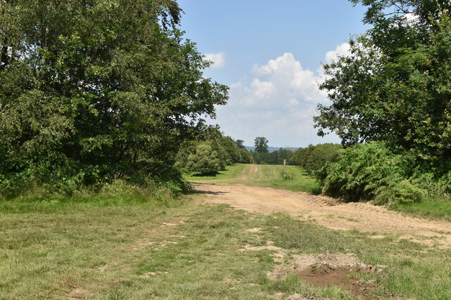
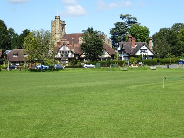
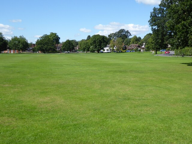
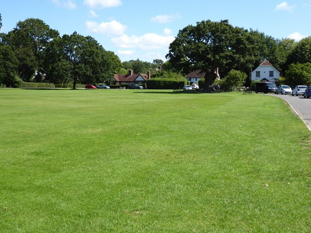
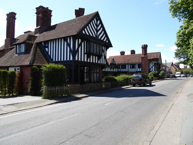
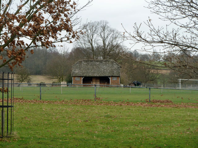
Roundabout Wood is a charming forest located in the county of Kent, England. Situated in the southeastern part of the country, this wood is a haven for nature enthusiasts and those seeking tranquility amidst the bustling modern world. Spanning an area of approximately 50 acres, Roundabout Wood offers a diverse range of flora and fauna, making it an ideal destination for wildlife enthusiasts and botanists alike.

The wood is predominantly made up of native deciduous trees, including oak, beech, and birch, which create a rich and vibrant canopy overhead. The forest floor is adorned with a carpet of wildflowers, ferns, and mosses, adding to the enchanting atmosphere of the wood. Numerous footpaths meander through the forest, allowing visitors to explore its hidden corners and discover its hidden treasures.

Roundabout Wood has a small lake nestled within its boundaries, providing a serene spot for contemplation and a habitat for various aquatic species. The lake is also a popular spot for birdwatching, attracting a variety of waterfowl, including ducks and herons.

The wood is managed by the local council, ensuring its preservation and accessibility for all. It offers several recreational facilities, including picnic areas, benches, and designated camping spots, allowing visitors to fully immerse themselves in the beauty of nature. Roundabout Wood is also home to a visitor center, where visitors can learn more about the wood's history, ecology, and conservation efforts.

With its peaceful ambiance, diverse wildlife, and accessibility, Roundabout Wood truly offers a unique and immersive experience for all nature enthusiasts and those seeking respite from the hustle and bustle of everyday life.

If you have any feedback on the listing, please let us know in the comments section below.

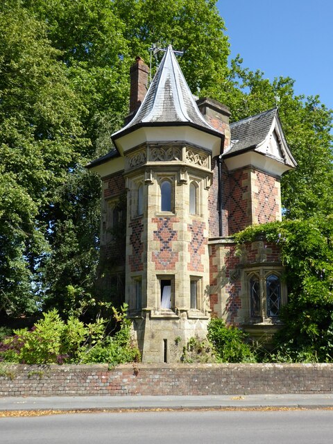
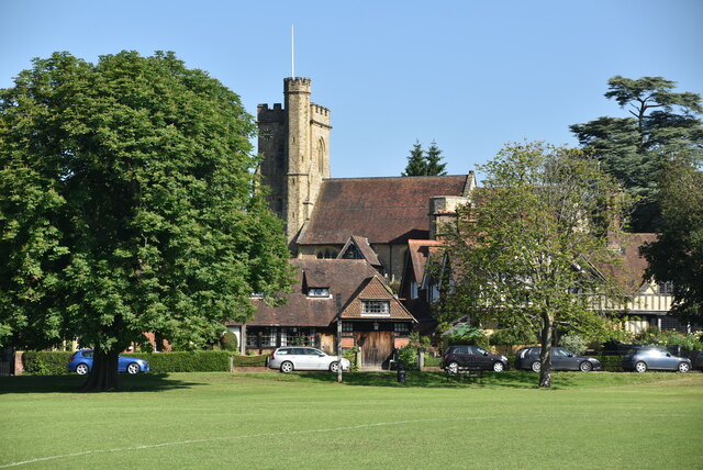
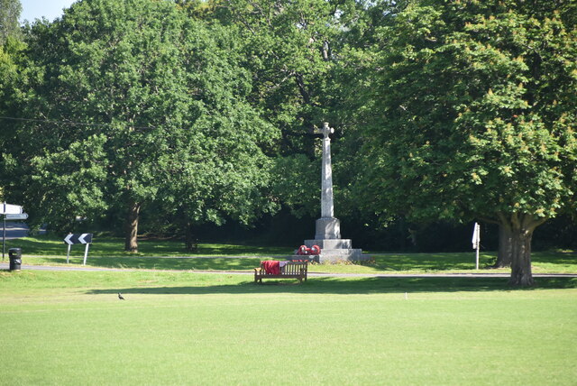
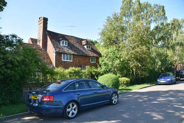
Roundabout Wood Images

Images are sourced within 2km of 51.194102/0.19401624 or Grid Reference TQ5346. Thanks to Geograph Open Source API. All images are credited.

Farmland, Penshurst Park
Path north of Penshurst Place
Track north of Penshurst
Field edge near Ingleby Toll
Shady walk under trees towards Ingleby Toll
Timber stack near Cook's Pits
Old and new - Sidney Oak, Penshurst Plaques explain that the oak, believed to have been 1000 years old, died in 2016. A self-seeded sapling grows nearby.
Old and new - Sidney Oak, Penshurst
Plaques explain that the oak, believed to have been 1000 years old, died in 2016. A self-seeded sapling grows nearby.
East Lodge, Leigh
East Lodge, Leigh
Church of St Mary, Leigh
Tree and cottages seen across the Green at Leigh
View to Leigh Church Leigh cricket ground with a view to St Mary's church, Leigh.
View to Leigh Church
Leigh cricket ground with a view to St Mary's church, Leigh.
Leigh Cricket Ground Leigh village's picturesque cricket ground.
Leigh Cricket Ground
Leigh village's picturesque cricket ground.
Village cricket ground Leigh village cricket ground on a picturesque village green.
Village cricket ground
Leigh village cricket ground on a picturesque village green.
Timber-framed house Late 19th century timber-framed houses in with an appearance of almshouses beside the B4027 in the village of Leigh.  The houses are Grade II listed, see: <span class="nowrap"><a title="https://historicengland.org.uk/listing/the-list/list-entry/1258914" rel="nofollow ugc noopener" href="https://historicengland.org.uk/listing/the-list/list-entry/1258914">Link</a><img style="margin-left:2px;" alt="External link" title="External link - shift click to open in new window" src="https://s1.geograph.org.uk/img/external.png" width="10" height="10"/></span>
Timber-framed house
Late 19th century timber-framed houses in with an appearance of almshouses beside the B4027 in the village of Leigh. The houses are Grade II listed, see: LinkExternal link
The Old Lodge The Old Lodge beside the B4027 in Leigh.  The lodge was built in the 19th century and was designed by architect George Devey for the Hall Place estate.  The lodge is Grade II listed, see: <span class="nowrap"><a title="https://historicengland.org.uk/listing/the-list/list-entry/1273355" rel="nofollow ugc noopener" href="https://historicengland.org.uk/listing/the-list/list-entry/1273355">Link</a><img style="margin-left:2px;" alt="External link" title="External link - shift click to open in new window" src="https://s1.geograph.org.uk/img/external.png" width="10" height="10"/></span>
The Old Lodge
The Old Lodge beside the B4027 in Leigh. The lodge was built in the 19th century and was designed by architect George Devey for the Hall Place estate. The lodge is Grade II listed, see: LinkExternal link
Church of St Mary Dating from the C13th, the tower is C15th.The church was majorly restored in the 1860s. Most of the stained glass windows are C19th. 
Grade II* listed. <span class="nowrap"><a title="http://www.britishlistedbuildings.co.uk/en-445296-church-of-st-mary-leigh-kent" rel="nofollow ugc noopener" href="http://www.britishlistedbuildings.co.uk/en-445296-church-of-st-mary-leigh-kent">Link</a><img style="margin-left:2px;" alt="External link" title="External link - shift click to open in new window" src="https://s1.geograph.org.uk/img/external.png" width="10" height="10"/></span>
Church of St Mary
Dating from the C13th, the tower is C15th.The church was majorly restored in the 1860s. Most of the stained glass windows are C19th. Grade II* listed. LinkExternal link
War Memorial, Leigh War memorials were mainly constructed after WWI to commemorate the troops who gave their lives in the war. Many were then updated after WWII. Some war memorials date back to the Boer War. Almost every town and village in Britain has a War Memorial. They take many forms, the commonest being an obelisk, a cross or statue of a soldier. Some commemorate the inhabitants of a place, some are for schools and others are for companies or Military groupings.
Many memorials are grade II listed, 61 are II* listed, <span class="nowrap"><a title="https://en.wikipedia.org/wiki/Grade_II" rel="nofollow ugc noopener" href="https://en.wikipedia.org/wiki/Grade_II">Link</a><img style="margin-left:2px;" alt="External link" title="External link - shift click to open in new window" src="https://s1.geograph.org.uk/img/external.png" width="10" height="10"/></span>*_listed_war_memorials_in_England  
 & 12 are Grade I listed. <span class="nowrap"><a title="https://en.wikipedia.org/wiki/Grade_I_listed_war_memorials_in_England" rel="nofollow ugc noopener" href="https://en.wikipedia.org/wiki/Grade_I_listed_war_memorials_in_England">Link</a><img style="margin-left:2px;" alt="External link" title="External link - shift click to open in new window" src="https://s1.geograph.org.uk/img/external.png" width="10" height="10"/></span> 
A search for memorials can be carried out at <span class="nowrap"><a title="http://www.ukniwm.org.uk/server/show/nav.002006003" rel="nofollow ugc noopener" href="http://www.ukniwm.org.uk/server/show/nav.002006003">Link</a><img style="margin-left:2px;" alt="External link" title="External link - shift click to open in new window" src="https://s1.geograph.org.uk/img/external.png" width="10" height="10"/></span>
War Memorial, Leigh
War memorials were mainly constructed after WWI to commemorate the troops who gave their lives in the war. Many were then updated after WWII. Some war memorials date back to the Boer War. Almost every town and village in Britain has a War Memorial. They take many forms, the commonest being an obelisk, a cross or statue of a soldier. Some commemorate the inhabitants of a place, some are for schools and others are for companies or Military groupings. Many memorials are grade II listed, 61 are II* listed, LinkExternal link*_listed_war_memorials_in_England & 12 are Grade I listed. LinkExternal link A search for memorials can be carried out at LinkExternal link
Cottage, Green View Avenue
Show me another place!

Roundabout Wood is located at Grid Ref: TQ5346 (Lat: 51.194102, Lng: 0.19401624)

Administrative County: Kent

District: Sevenoaks

Police Authority: Kent

What 3 Words

///alien.pills.begun. Near Speldhurst, Kent

Related Wikis

Penshurst Airfield

Penshurst Airfield was an airfield in operation between 1916–36 and 1940–46. Initially a military airfield, after the First World War it was used as an...

Leigh railway station

Leigh railway station is on the Redhill to Tonbridge Line and serves Leigh in Kent, England. It is 39 miles 56 chains (39.70 miles, 63.89 km) measured...

St Luke's Church, Chiddingstone Causeway

St Luke's is a Grade II* listed Church of England church in Chiddingstone Causeway, Kent. It was built in 1897–1898 to a design by John Francis Bentley...

Chiddingstone Causeway

Chiddingstone Causeway is a village 4 miles (6 km) west of Tonbridge in Kent, England. It is within the Sevenoaks local government district. It is in the...

Penshurst railway station

Penshurst railway station is on the Redhill to Tonbridge Line and is located approximately two miles north of Penshurst in Kent, in the village of Chiddingstone...

St Mary's Church, Leigh

St Mary's Church is a parish church in Leigh, Kent. The current church was originally completed in the 13th century, although a church is believed to have...

Leigh, Kent

Leigh , historically spelled Lyghe, is a village and a civil parish located in the Sevenoaks district of Kent, England. It is located six miles (10 km...

Penshurst Park

Penshurst Park Cricket Ground, also known as the Earl of Leicester's Park, is a cricket ground at Penshurst in Kent. It is one of the oldest cricket venues...

Nearby Amenities

Located within 500m of 51.194102,0.19401624
Bus Stop
Blackhoath Lane
Flag: no
Naptan AtcoCode: 2400A035390A
Naptan Bearing: N
Naptan BusStopType: CUS
Naptan CommonName: Blackhoath Lane
Naptan Indicator: N-bound
Naptan Landmark: Penshurst Rd
Naptan NaptanCode: kntdmjdg
Naptan Street: Cinder Hill Lane
Naptan Verified: no
Public Transport: platform
Source: naptan_import
Lat/Long: 51.1960098/0.1899102
Mill Pond
Tourism: camp_site
Lat/Long: 51.1903866/0.1938111
Barrier: stile
Material: wood
Step Count: 1
Stile: stepover
Lat/Long: 51.1955885/0.1886402
The data included in this document is from www.openstreetmap.org. The data is made available under ODbL.

Have you been to Roundabout Wood?

Leave your review of Roundabout Wood below (or comments, questions and feedback).