Badbrook Wood

Wood, Forest in Sussex Wealden

England

Badbrook Wood

Ten Acres The name of the field according to Withyham's 1842 tithe map that is bounded by Long Shaw to the east and the public footpath to Sherlock's Farm to the west.
Ten Acres Credit: Simon Carey

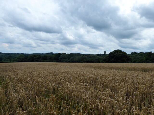
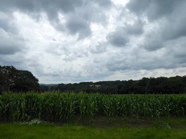
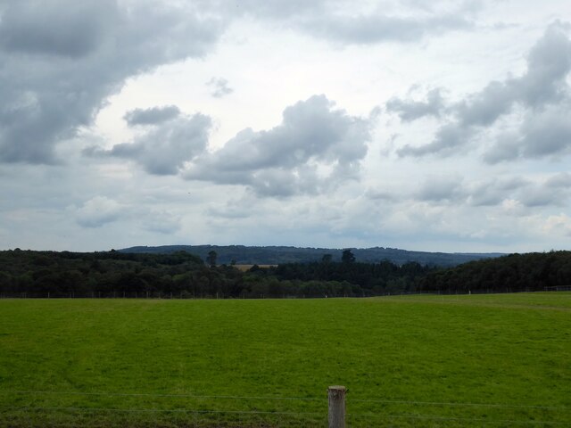
Badbrook Wood, located in Sussex, England, is a picturesque woodland area that spans over a vast expanse of approximately 200 acres. Known for its natural beauty and diverse ecosystem, this wood has become a popular destination for nature enthusiasts and hikers alike.

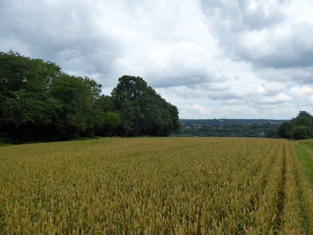
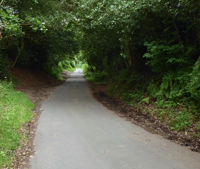
The wood is predominantly composed of ancient oak trees, giving it a timeless and enchanting feel. These majestic oaks provide a dense canopy, creating a shaded and cool atmosphere even during the warmest months of the year. In addition to the oaks, the wood is also home to a variety of other tree species, including beech, birch, and hazel, adding to its vibrant and diverse landscape.

Badbrook Wood offers a haven for wildlife, with numerous species calling it home. Birdwatchers can spot a range of avian species such as woodpeckers, owls, and various songbirds. Squirrels and rabbits can also be seen scurrying through the undergrowth, while deer occasionally graze in the quieter areas of the wood.

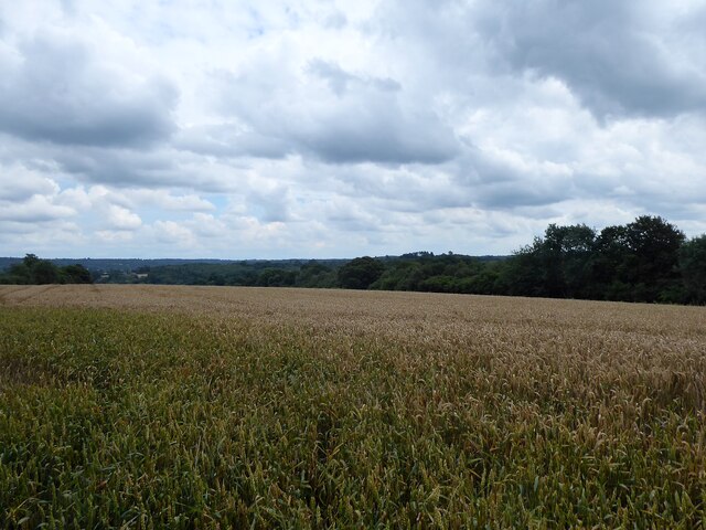
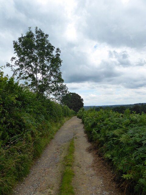
The wood features a network of walking trails, allowing visitors to explore its beauty at their own pace. These trails wind through the woodland, offering stunning views of the surrounding countryside and providing opportunities to observe the diverse flora and fauna. Additionally, there are designated picnic areas where visitors can rest and enjoy the tranquility of the wood.

Badbrook Wood is a cherished natural gem in Sussex, offering a serene escape from the hustle and bustle of everyday life. Its ancient oaks, diverse wildlife, and scenic trails make it a must-visit destination for nature lovers seeking a peaceful and immersive experience in the heart of the English countryside.

If you have any feedback on the listing, please let us know in the comments section below.

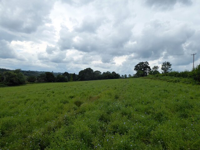
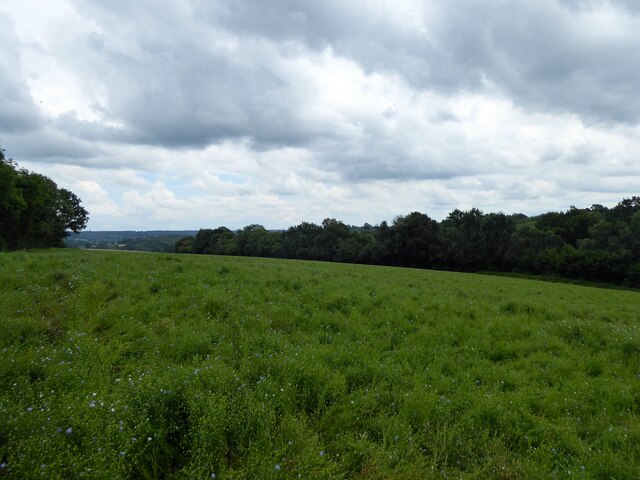
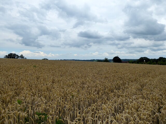
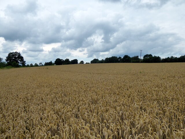
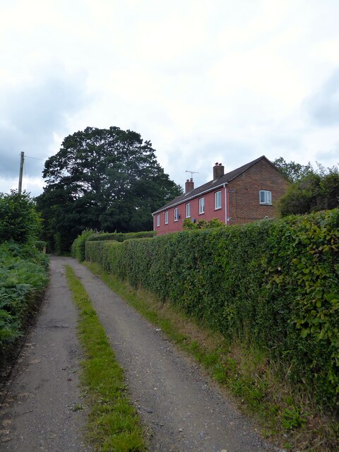
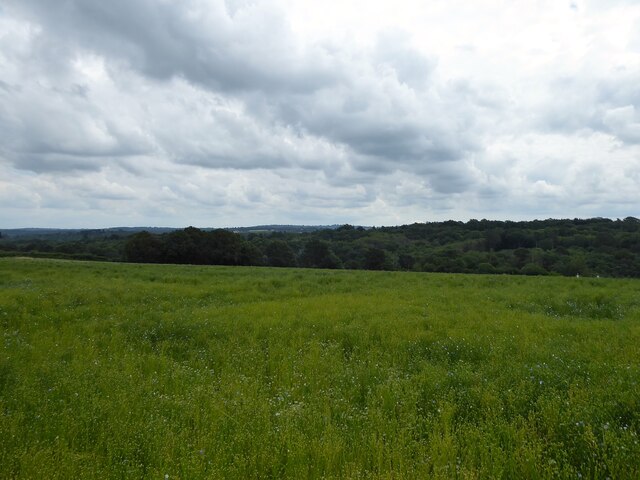
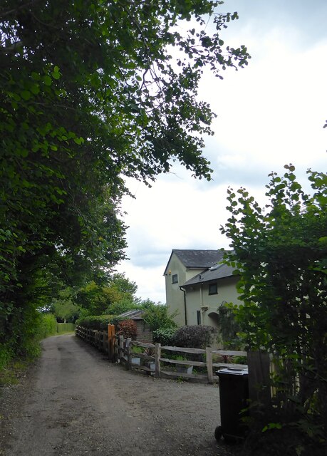
Badbrook Wood Images

Images are sourced within 2km of 51.087148/0.16673147 or Grid Reference TQ5134. Thanks to Geograph Open Source API. All images are credited.

Ten Acres The name of the field according to Withyham's 1842 tithe map that is bounded by Long Shaw to the east and the public footpath to Sherlock's Farm to the west.
Ten Acres
The name of the field according to Withyham's 1842 tithe map that is bounded by Long Shaw to the east and the public footpath to Sherlock's Farm to the west.
Hard Field The name of the field according to Withyham's 1842 tithe map bounded by Sherlock's Farm to the south, the public footpath to Sherlock's Farm to the east and Sherlock's Wood to the west.
Hard Field
The name of the field according to Withyham's 1842 tithe map bounded by Sherlock's Farm to the south, the public footpath to Sherlock's Farm to the east and Sherlock's Wood to the west.
Cow Field The name of the field according to Withyham's 1842 tithe map that is bounded by Long Shaw to the east and the public footpath to Sherlock's Farm to the west. It has been merged with <a href="https://www.geograph.org.uk/photo/6923109">TQ5235 : Ten Acres</a> to the south.
Cow Field
The name of the field according to Withyham's 1842 tithe map that is bounded by Long Shaw to the east and the public footpath to Sherlock's Farm to the west. It has been merged with TQ5235 : Ten Acres to the south.
Sherlock's Farm A collection of barns on the eastern side of the farm.
Sherlock's Farm
A collection of barns on the eastern side of the farm.
Mall Eye Field The name of the field according to Withyham's 1842 tithe map bounded by Motts Down to the west and the public footpath to Motts Mill to the north.
Mall Eye Field
The name of the field according to Withyham's 1842 tithe map bounded by Motts Down to the west and the public footpath to Motts Mill to the north.
Four Acre Mead The name of the field according to Withyham's 1842 tithe map bounded by Motts Down to the west, the public footpath to Motts Mill to the south and Long Shaw to the east.
Four Acre Mead
The name of the field according to Withyham's 1842 tithe map bounded by Motts Down to the west, the public footpath to Motts Mill to the south and Long Shaw to the east.
Dial Field The name of the field according to Withyham's 1842 tithe map bounded by Sherlock's farm to the north, Motts Down to the east and the public footpath to Cherry Gardens Hill, the B2188, to the south.
Dial Field
The name of the field according to Withyham's 1842 tithe map bounded by Sherlock's farm to the north, Motts Down to the east and the public footpath to Cherry Gardens Hill, the B2188, to the south.
Middle Field/Upper Seven Acres The name of the fields according to Withyham's 1842 tithe map that have been merged to form a larger unit. Middle Field is in the foreground adjacent to the public footpath to Cherry Gardens Hill, the B2188, whilst Upper Seven Acres is to the south. Both are bounded to the east by Motts Down.
Middle Field/Upper Seven Acres
The name of the fields according to Withyham's 1842 tithe map that have been merged to form a larger unit. Middle Field is in the foreground adjacent to the public footpath to Cherry Gardens Hill, the B2188, whilst Upper Seven Acres is to the south. Both are bounded to the east by Motts Down.
Motts Down The name of the unmade lane that links Motts Mill to Sherlock's Farm.
Motts Down
The name of the unmade lane that links Motts Mill to Sherlock's Farm.
Motts Down Cottages, Motts Down A pair of semi-detached cottages built in the 1950s.
Motts Down Cottages, Motts Down
A pair of semi-detached cottages built in the 1950s.
Cooks Field The name of the field according to Withyham's 1842 tithe map bounded by Motts down to the west, the public footpath to Motts Mill to the south, and Motts Mill to the east.
Cooks Field
The name of the field according to Withyham's 1842 tithe map bounded by Motts down to the west, the public footpath to Motts Mill to the south, and Motts Mill to the east.
The Cottage, Motts Down The single cottage was built around the 1950s and was called Motts Down Cottage on the 1970 OS map. Probably changed due to nearby Motts Down Cottages that would confuse too many postmen and other traders.
The Cottage, Motts Down
The single cottage was built around the 1950s and was called Motts Down Cottage on the 1970 OS map. Probably changed due to nearby Motts Down Cottages that would confuse too many postmen and other traders.
Motts Mill The name of the lane as given by my West Sussex A to Z atlas. The lane heads east from the B2188 to provide access for the small hamlet of Motts Mill.
Motts Mill
The name of the lane as given by my West Sussex A to Z atlas. The lane heads east from the B2188 to provide access for the small hamlet of Motts Mill.
Eight Acres The name of the field according to Withyham's 1842 tithe map bounded by the lane called Motts Mill to its west and north. Jockey Wood is on the right.
Eight Acres
The name of the field according to Withyham's 1842 tithe map bounded by the lane called Motts Mill to its west and north. Jockey Wood is on the right.
Four Acres The name of the field according to Withyham's 1842 tithe map that is triangular in shape and bounded by Cherry Gardens Hill, the B2188, to the west and the lane known as Motts Mill to the east.
Four Acres
The name of the field according to Withyham's 1842 tithe map that is triangular in shape and bounded by Cherry Gardens Hill, the B2188, to the west and the lane known as Motts Mill to the east.
Plumey Feathers Cottages, Ladies Mile Near the junction with the B2188 and built in the 1920s.
Plumey Feathers Cottages, Ladies Mile
Near the junction with the B2188 and built in the 1920s.
Nine Acres The name of the field according to Withyham's 1842 tithe map that is bounded by Ladies Mile to the south west.
Nine Acres
The name of the field according to Withyham's 1842 tithe map that is bounded by Ladies Mile to the south west.
Fourteen Acres The name of the field according to Withyham's 1842 tithe map located to the south west of Ladies Mile and once part of a medieval deer park called Stonelands Park.
Fourteen Acres
The name of the field according to Withyham's 1842 tithe map located to the south west of Ladies Mile and once part of a medieval deer park called Stonelands Park.
Show me another place!

Badbrook Wood is located at Grid Ref: TQ5134 (Lat: 51.087148, Lng: 0.16673147)

Administrative County: East Sussex

District: Wealden

Police Authority: Sussex

What 3 Words

///buying.jumbo.spoiled. Near Crowborough, East Sussex

Related Wikis

Penn's Rocks

Penn's Rocks is a 10.2-hectare (25-acre) biological Site of Special Scientific Interest north of Crowborough in East Sussex.This site is a steep sided...

Bream Wood

Bream Wood is a 7.8-hectare (19-acre) biological Site of Special Scientific Interest north of Crowborough in East Sussex.This steep sided valley wood has...
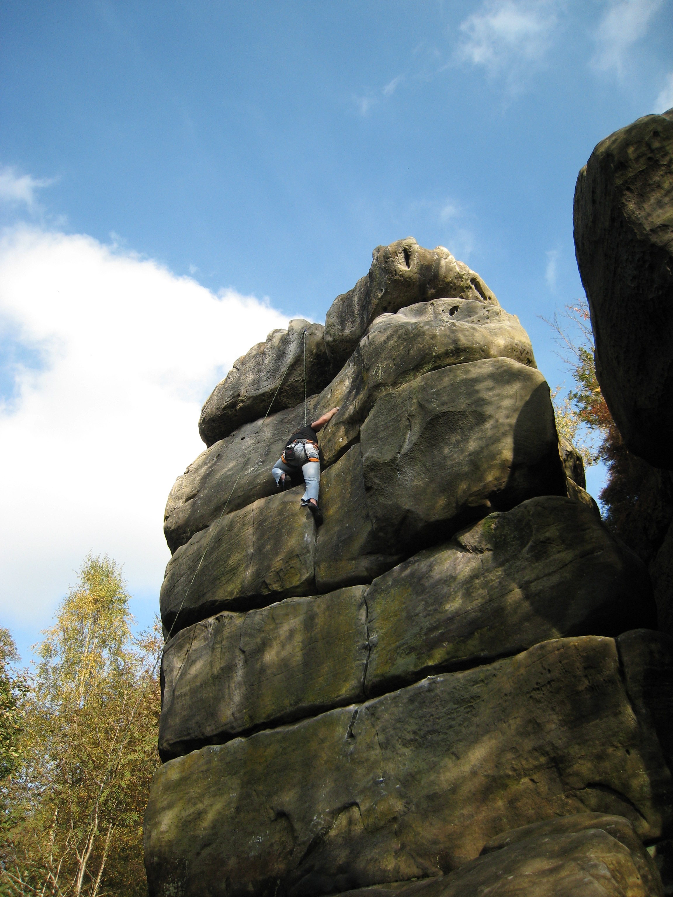
Harrison's Rocks

Harrison's Rocks is a series of sandstone crags approximately 1.5 kilometres (1 mi) south of the village of Groombridge in the county of East Sussex. The...

Buckhurst Park, East Sussex

Buckhurst Park is an English country house and landscaped park in Withyham, East Sussex. It is the seat of William Sackville, 11th Earl De La Warr.The...

Eridge railway station

Eridge railway station is on the Uckfield branch of the Oxted line in southern England and serves a rural district around Eridge in East Sussex. It is...

Bowles Rocks

Bowles Rocks is a sandstone crag in the county of East Sussex, on the border with Kent, approximately 8 kilometres (5 mi) south of the town of Royal Tunbridge...

Bowles Outdoor Centre

Bowles Outdoor Centre is an outdoor education/outdoor learning centre in southeast England, located between Royal Tunbridge Wells and Crowborough at Bowles...

Oliver Sutton (RAF officer)

Captain Oliver Manners Sutton (12 March 1896 – 16 August 1921) was a British First World War flying ace credited with seven aerial victories. == Family... ==

Nearby Amenities

Located within 500m of 51.087148,0.16673147
Barrier: stile
Material: wood
Stile: stepover
Lat/Long: 51.0897557/0.1654205
Barrier: stile
Material: wood
Stile: stepover
Lat/Long: 51.0910534/0.166961
The data included in this document is from www.openstreetmap.org. The data is made available under ODbL.

Have you been to Badbrook Wood?

Leave your review of Badbrook Wood below (or comments, questions and feedback).