Six Acre Wood

Wood, Forest in Sussex Wealden

England

Six Acre Wood

B2192 south west of Blackboys
B2192 south west of Blackboys Credit: N Chadwick

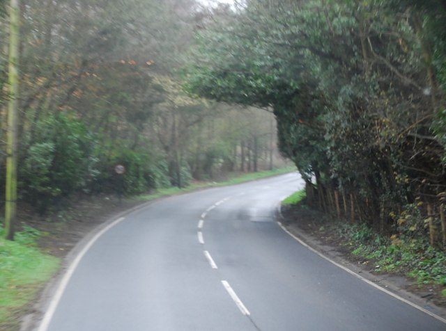
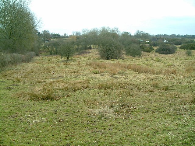
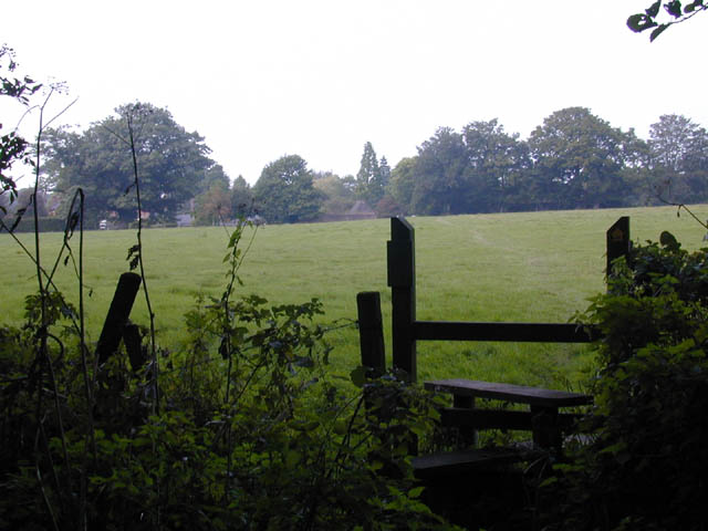
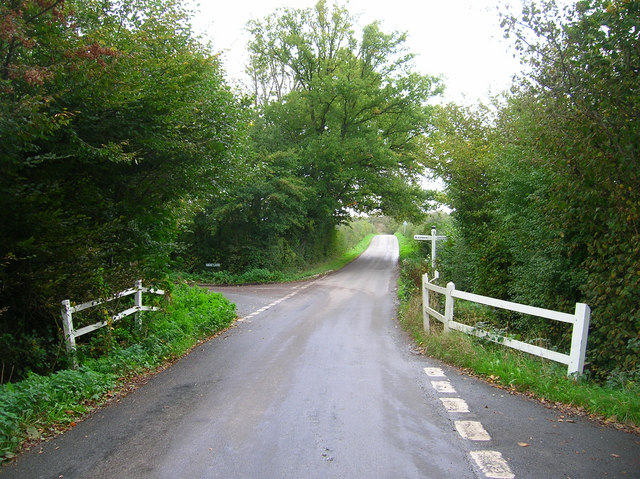
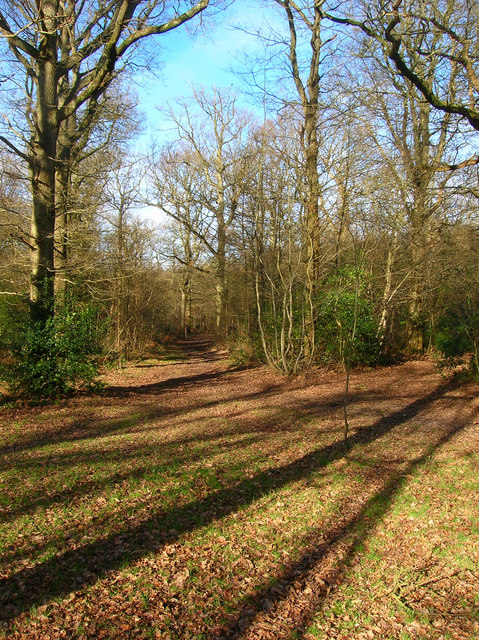
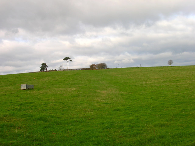
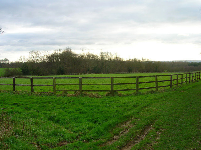
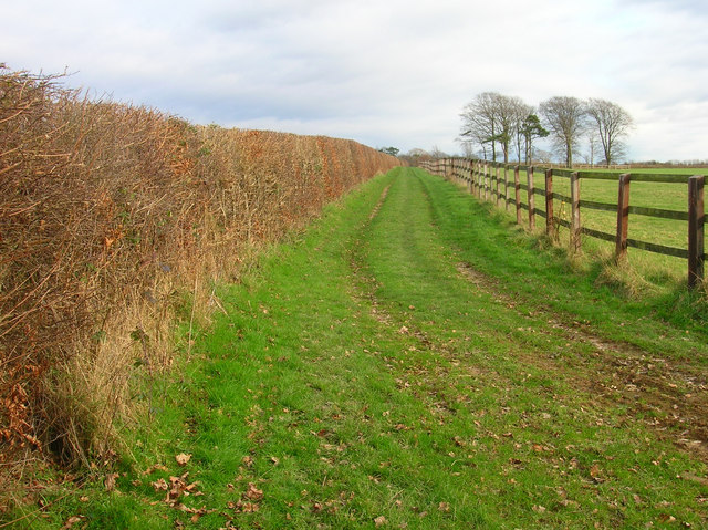
Six Acre Wood is a picturesque forest located in Sussex, England. Covering approximately six acres of land, it is a popular destination for nature enthusiasts and outdoor lovers. The wood is known for its diverse range of flora and fauna, making it an ideal spot for wildlife observation and nature walks.

The forest is characterized by its dense foliage, consisting of a variety of tree species including oak, beech, and birch. These towering trees provide a cool and shaded atmosphere, perfect for escaping the heat of the summer months. The forest floor is covered in a lush carpet of moss, ferns, and wildflowers, adding to the overall beauty of the woodland.

Six Acre Wood is home to an array of wildlife, including squirrels, foxes, and a wide variety of bird species. Birdwatchers will delight in the opportunity to spot species such as woodpeckers, owls, and warblers. The forest also provides an important habitat for several rare and endangered species, contributing to the conservation efforts in the region.

Visitors to Six Acre Wood can enjoy a range of activities, including hiking, picnicking, and photography. There are well-maintained trails that wind their way through the forest, offering scenic views and opportunities to spot wildlife. The peaceful ambiance of the wood makes it an ideal location for those seeking tranquility and a connection with nature.

Overall, Six Acre Wood is a natural gem in Sussex, offering visitors a chance to immerse themselves in the beauty of the British countryside. With its diverse ecosystem and stunning scenery, it is a must-visit destination for nature enthusiasts and anyone looking to escape the hustle and bustle of everyday life.

If you have any feedback on the listing, please let us know in the comments section below.

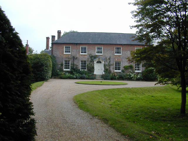
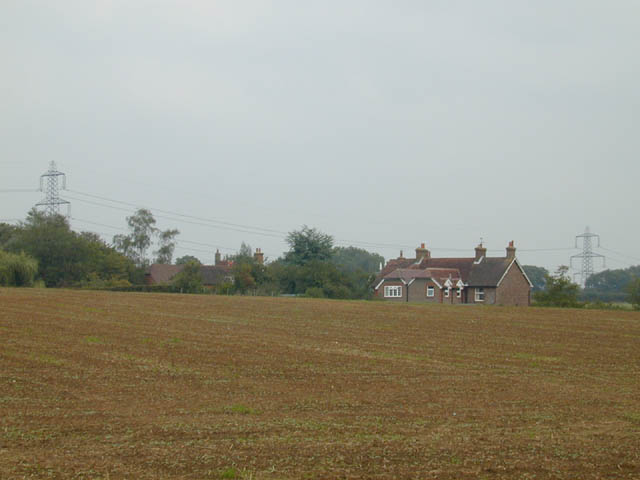
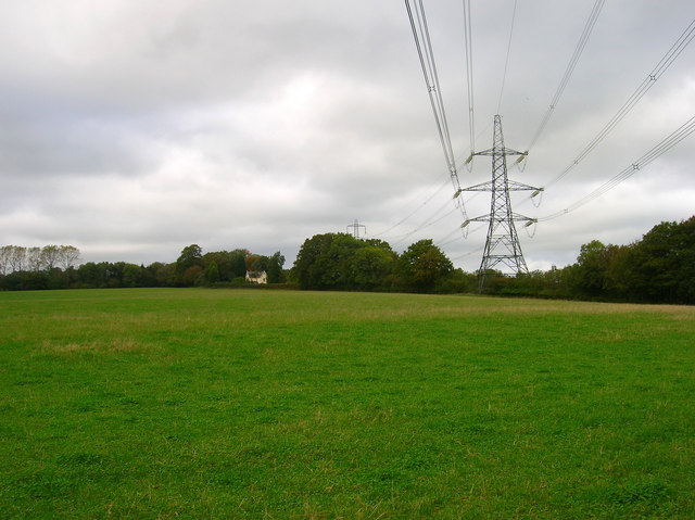
Six Acre Wood Images

Images are sourced within 2km of 50.942007/0.16013273 or Grid Reference TQ5118. Thanks to Geograph Open Source API. All images are credited.

B2192 south west of Blackboys
The church without dedication, East Hoathly
Meadow at Easons Green This regularly grazed ancient meadow is typical of lowland unimproved grassland, with anthills and a diverse flora in the summer.
Meadow at Easons Green
This regularly grazed ancient meadow is typical of lowland unimproved grassland, with anthills and a diverse flora in the summer.
Footpath from East Hoathly to Old Whyly This photo was taken on the Thomas Turner walk, which is a series of footpaths around East Hoathly. The roof of Old Whyly can be seen in the distance.
Footpath from East Hoathly to Old Whyly
This photo was taken on the Thomas Turner walk, which is a series of footpaths around East Hoathly. The roof of Old Whyly can be seen in the distance.
Old Whyly Old Whyly is a 17th Century manor house. It is mentioned numerous times in The Diary of Thomas Turner 1754-1765, in East Hoathly. Thomas Turner frequently visited Jeremiah French, the tenant farmer, at Whyly mostly for evenings playing cards and heavy drinking. He invariably returned home inebriated and on several occasions his wife had to be carried home on a gate!
Old Whyly
Old Whyly is a 17th Century manor house. It is mentioned numerous times in The Diary of Thomas Turner 1754-1765, in East Hoathly. Thomas Turner frequently visited Jeremiah French, the tenant farmer, at Whyly mostly for evenings playing cards and heavy drinking. He invariably returned home inebriated and on several occasions his wife had to be carried home on a gate!
Across the fields to Davis's Town This photograph was taken from the footpath forming part of the Thomas Turner walk near Great Wood, just outside the village of East Hoathly.
Across the fields to Davis's Town
This photograph was taken from the footpath forming part of the Thomas Turner walk near Great Wood, just outside the village of East Hoathly.
Mile marker East Hoathly 48 Miles to Bow Bells
Mile marker East Hoathly
48 Miles to Bow Bells
Electricity Pylons near Cinder Wood The house to the left is Scallow Lodge.
Electricity Pylons near Cinder Wood
The house to the left is Scallow Lodge.
Scallow Bridge The bridge is marked by the white railings. Lane to the left goes to Cross in Hand, the one to the right heads south to Whitesmith, straight ahead for Foxhunt Green and Horam.
Scallow Bridge
The bridge is marked by the white railings. Lane to the left goes to Cross in Hand, the one to the right heads south to Whitesmith, straight ahead for Foxhunt Green and Horam.
Moat Wood Jointly owned by East Hoathly parish council and the Woodland Trust and home to such wildlife as Black Adders and Nightingales. This part of the open access wood heads north westwards away from the moat.
Moat Wood
Jointly owned by East Hoathly parish council and the Woodland Trust and home to such wildlife as Black Adders and Nightingales. This part of the open access wood heads north westwards away from the moat.
Lych Gate, East Hoathly Church The building that can be seen through the gate is actually East Hoathly C of E Primary School. The church tower can just been over the gate to the right.
Lych Gate, East Hoathly Church
The building that can be seen through the gate is actually East Hoathly C of E Primary School. The church tower can just been over the gate to the right.
Post Office, High Street The village's Post Office is right on the bend of High Street and London Road which until the late 1980s was the main A22, the 90 degree bend causing all manner of problems. Today the street is a quiet backwater thanks to the bypassing of the trunk road.
Post Office, High Street
The village's Post Office is right on the bend of High Street and London Road which until the late 1980s was the main A22, the 90 degree bend causing all manner of problems. Today the street is a quiet backwater thanks to the bypassing of the trunk road.
Kings Head, High Street Thirteenth century pub which is the main seller of the 1648 brewery which is next door to it and part owned by the landlord. The house on the right obscures the village sign while the 90 degree bend of the former A22 can be seen in the foreground. The road to the left is a minor road that heads to Waldron.
Kings Head, High Street
Thirteenth century pub which is the main seller of the 1648 brewery which is next door to it and part owned by the landlord. The house on the right obscures the village sign while the 90 degree bend of the former A22 can be seen in the foreground. The road to the left is a minor road that heads to Waldron.
Tennis Courts, Recreation Ground The recreation ground also includes a football and cricket pitch, a basketball court and the usual swings and roundabouts.
Tennis Courts, Recreation Ground
The recreation ground also includes a football and cricket pitch, a basketball court and the usual swings and roundabouts.
Alders Wood Following the footpath from Old Whyley back to East Hoathly.
Alders Wood
Following the footpath from Old Whyley back to East Hoathly.
Footpath to Slays Wood? According to the map it should be but no sign or entrance to the field could be found. The field layouts do not agree with the map either. Most of the land around here is owned by Hesmond Stud a horse breeders who have fenced out the fields and diverted other footpaths though they are not too well signposted coming from the direction of Old Whyley. This looks up towards the peak of a hill marked 73 on the OS Map.

Edit: Five years on the footpath is now marked out, see <a href="https://www.geograph.org.uk/photo/2882890">TQ5117 : Footpath to Annandale Farm</a>.
Footpath to Slays Wood?
According to the map it should be but no sign or entrance to the field could be found. The field layouts do not agree with the map either. Most of the land around here is owned by Hesmond Stud a horse breeders who have fenced out the fields and diverted other footpaths though they are not too well signposted coming from the direction of Old Whyley. This looks up towards the peak of a hill marked 73 on the OS Map. Edit: Five years on the footpath is now marked out, see TQ5117 : Footpath to Annandale Farm.
Sweetwillow Shaw The fenced field belongs to Hesmond Stud.
Sweetwillow Shaw
The fenced field belongs to Hesmond Stud.
Two Types of Field Boundaries The older hedges to the left and the newer fences to the right for the horses of Hesmond Stud. Taken at the point where the footpath heads towards Annan Court.
Two Types of Field Boundaries
The older hedges to the left and the newer fences to the right for the horses of Hesmond Stud. Taken at the point where the footpath heads towards Annan Court.
Show me another place!

Six Acre Wood is located at Grid Ref: TQ5118 (Lat: 50.942007, Lng: 0.16013273)

Administrative County: East Sussex

District: Wealden

Police Authority: Sussex

What 3 Words

///passenger.headless.guru. Near Uckfield, East Sussex
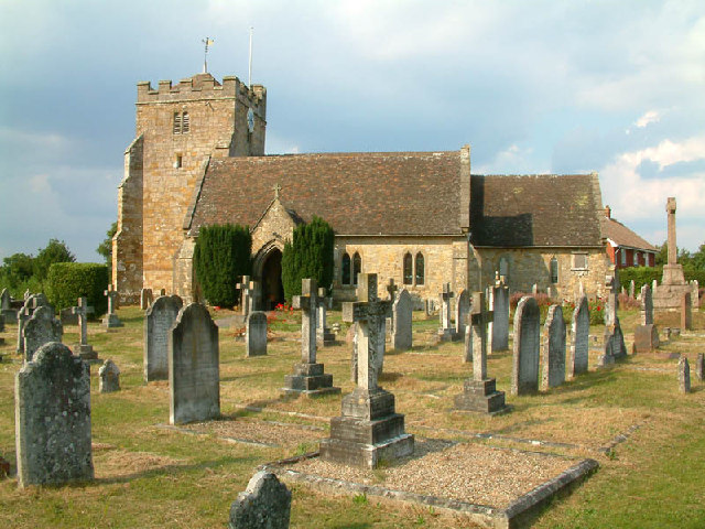
Related Wikis

East Hoathly with Halland

East Hoathly with Halland is a civil parish in the Wealden District of East Sussex, England. The parish contains the two villages of East Hoathly and...

Framfield

Framfield is a village and civil parish in the Wealden District of East Sussex, England. The village is located two miles (3 km) east of Uckfield; the...

Waldron Cutting

Waldron Cutting is a 0.2-hectare (0.49-acre) geological Site of Special Scientific Interest in East Sussex. It is a Geological Conservation Review site...

Park Corner Heath

Park Corner Heath is a 2.9-hectare (7.2-acre) biological Site of Special Scientific Interest about 1.2 miles (2 km) south of East Hoathly, adjacent to...

Bentley Wildfowl and Motor Museum

The Bentley Wildfowl and Motor Museum was a visitor attraction near Halland, East Sussex, England. As of October 2018, it is closed to the public. ��2...

Selwyns Wood

Selwyns Wood is a 11-hectare (27-acre) nature reserve west of Heathfield in Sussex. It is managed by the Sussex Wildlife Trust.This reserve has woodland...

Roser's Cross

Roser's Cross is a village in the Wealden district of East Sussex.

Chiddingly

Chiddingly ( CHID-ing-lye) is an English village and civil parish in the Wealden District of the administrative county of East Sussex, within historic...

Nearby Amenities

Located within 500m of 50.942007,0.16013273
Power: tower
Lat/Long: 50.9405243/0.1585905
Power: tower
Lat/Long: 50.9400105/0.1628735
Power: tower
Lat/Long: 50.939567/0.1658861
Power: tower
Lat/Long: 50.9412327/0.1532547
Dickers Farm
Addr City: Uckfield
Addr Country: GB
Addr Place: Beechy Road
Addr Postcode: TN22 5JG
Addr Suburb: Blackboys
Place: farm
Source Name: OS_OpenData_Streetview
Lat/Long: 50.9448479/0.1617731
The data included in this document is from www.openstreetmap.org. The data is made available under ODbL.

Have you been to Six Acre Wood?

Leave your review of Six Acre Wood below (or comments, questions and feedback).