Coalhouse Wood
Wood, Forest in Sussex Wealden
England
Coalhouse Wood
Coalhouse Wood is a picturesque woodland located in the county of Sussex, England. Spanning over an area of approximately 50 acres, it is a popular destination for nature enthusiasts and hikers alike. The wood is situated near the village of Ashburnham, nestled amidst the rolling hills and lush green valleys of the Sussex countryside.
The woodland is predominantly composed of ancient oak trees, which form a dense canopy that provides shade and shelter to a diverse range of flora and fauna. It boasts a rich biodiversity, with a variety of plant species including bluebells, primroses, and wild garlic carpeting the forest floor during the spring months. The wood is also home to a number of rare and protected species, such as the lesser spotted woodpecker and the silver-washed fritillary butterfly.
Several well-maintained trails wind through Coalhouse Wood, offering visitors the opportunity to explore its natural wonders. These paths lead to secluded clearings, babbling brooks, and tranquil ponds, creating a serene and peaceful atmosphere. The wood is particularly popular during the autumn season when the foliage transforms into a vibrant display of reds, oranges, and yellows.
Coalhouse Wood has also been designated as a Site of Special Scientific Interest (SSSI) due to its ecological significance. Conservation efforts are in place to protect and preserve the wood's unique habitat, ensuring its continued beauty for future generations to enjoy.
Overall, Coalhouse Wood in Sussex is a captivating destination for nature lovers, offering a serene escape from the hustle and bustle of everyday life.
If you have any feedback on the listing, please let us know in the comments section below.
Coalhouse Wood Images
Images are sourced within 2km of 51.086645/0.16133888 or Grid Reference TQ5134. Thanks to Geograph Open Source API. All images are credited.


Coalhouse Wood is located at Grid Ref: TQ5134 (Lat: 51.086645, Lng: 0.16133888)
Administrative County: East Sussex
District: Wealden
Police Authority: Sussex
What 3 Words
///issues.cornfield.tidying. Near Crowborough, East Sussex
Nearby Locations
Related Wikis

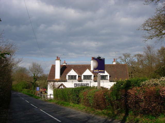
Penn's Rocks
Penn's Rocks is a 10.2-hectare (25-acre) biological Site of Special Scientific Interest north of Crowborough in East Sussex.This site is a steep sided...

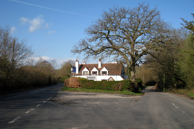
Bream Wood
Bream Wood is a 7.8-hectare (19-acre) biological Site of Special Scientific Interest north of Crowborough in East Sussex.This steep sided valley wood has...

Buckhurst Park, East Sussex
Buckhurst Park is an English country house and landscaped park in Withyham, East Sussex. It is the seat of William Sackville, 11th Earl De La Warr.The...
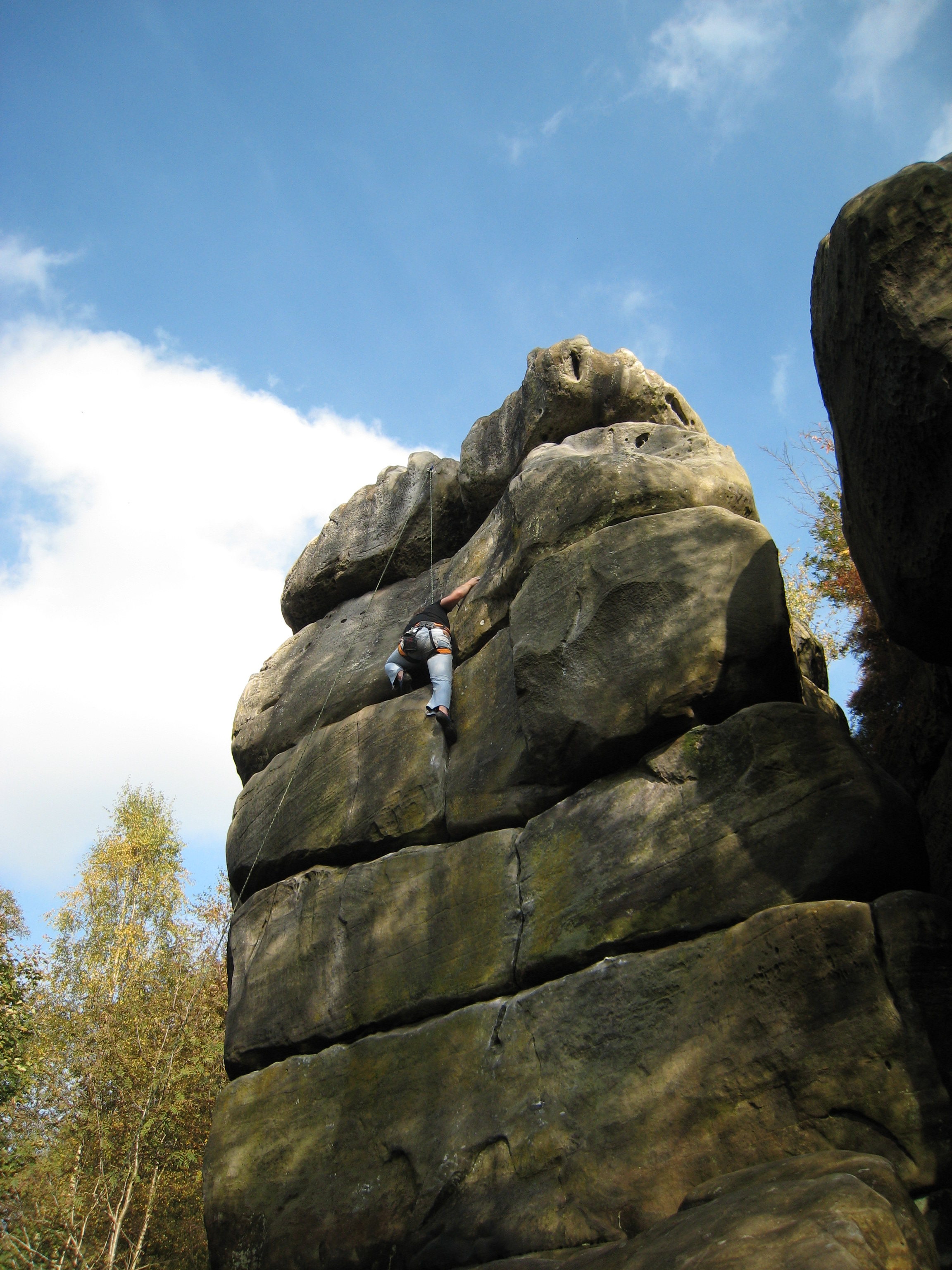
Harrison's Rocks
Harrison's Rocks is a series of sandstone crags approximately 1.5 kilometres (1 mi) south of the village of Groombridge in the county of East Sussex. The...

Oliver Sutton (RAF officer)
Captain Oliver Manners Sutton (12 March 1896 – 16 August 1921) was a British First World War flying ace credited with seven aerial victories. == Family... ==

Withyham
Withyham is a village and large civil parish in the Wealden district of East Sussex, England. The village is situated 7 miles south west of Royal Tunbridge...
Withyham Priory
Withyham Priory was a Benedictine monastic house in East Sussex, extant in 1086 and dissolved in 1413. == History == Robert, Count of Mortain, some time...
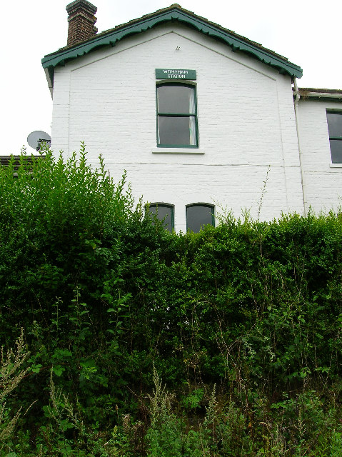
Withyham railway station
Withyham was a railway station on the Three Bridges to Tunbridge Wells Central Line which closed in 1967, a casualty of the Beeching Axe. The station opened...
Nearby Amenities
Located within 500m of 51.086645,0.16133888Have you been to Coalhouse Wood?
Leave your review of Coalhouse Wood below (or comments, questions and feedback).