Pearsons' Wood

Wood, Forest in Kent

England

Pearsons' Wood
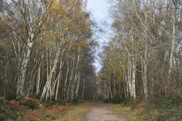
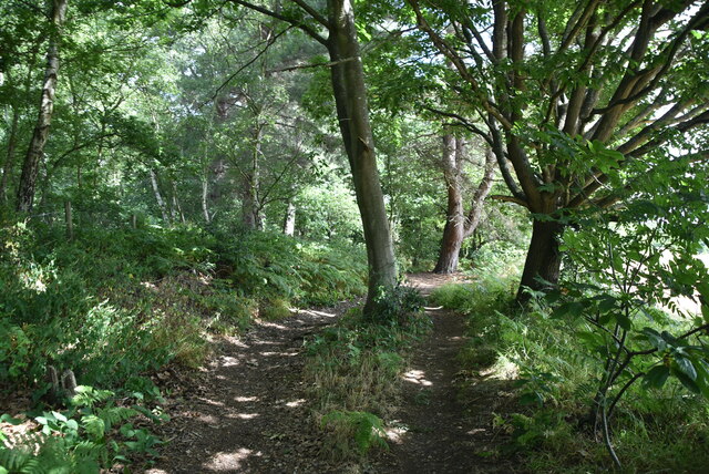
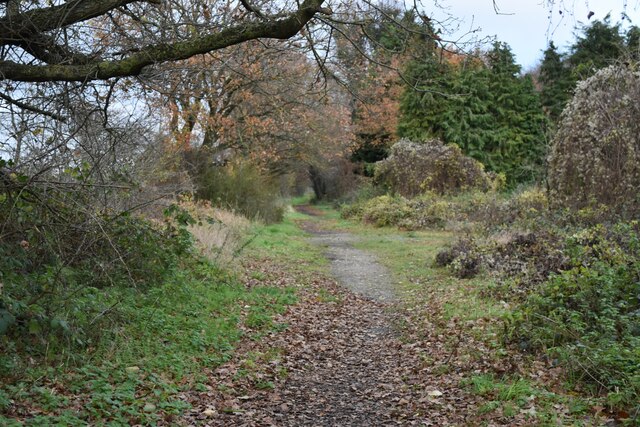
Tree-lined path on Dartford Heath
Tree-lined path on Dartford Heath Credit: David Martin

The requested URL returned error: 429 Too Many Requests

If you have any feedback on the listing, please let us know in the comments section below.

Pearsons' Wood Images

Images are sourced within 2km of 51.433039/0.15880224 or Grid Reference TQ5072. Thanks to Geograph Open Source API. All images are credited.
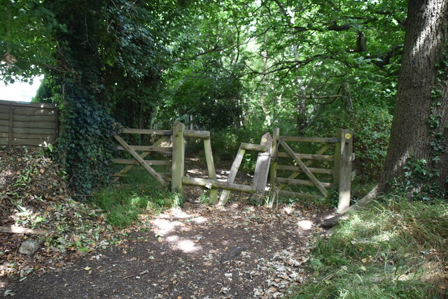
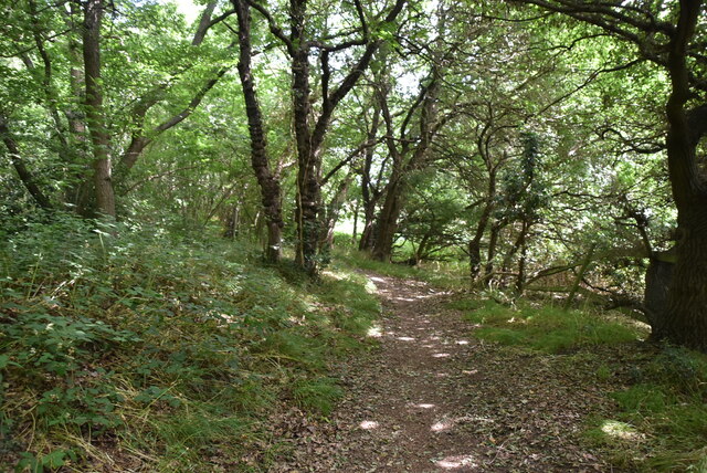
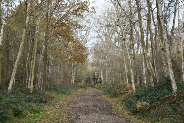
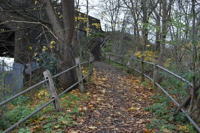
Tree-lined path on Dartford Heath
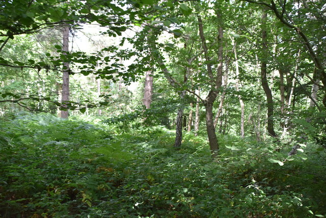
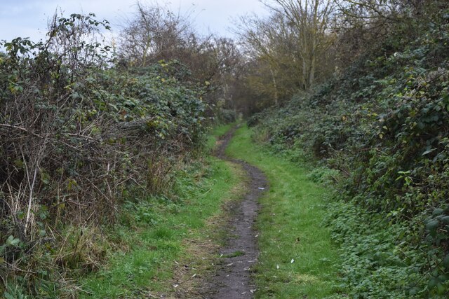
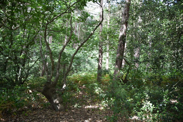
Path in the woods on Dartford Heath
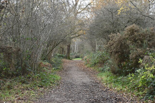
Path on Dartford Heath, towards Old Bexley Lane
London Loop footpath climbing A2 embankment The footpath uses the A2 bridge to cross the railway line.
London Loop footpath climbing A2 embankment
The footpath uses the A2 bridge to cross the railway line.
Path beside the railway at Braeburn Park Nature reserve south of the Dartford Loop Line.
Path beside the railway at Braeburn Park
Nature reserve south of the Dartford Loop Line.
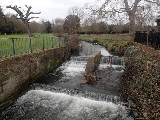
River Cray at Hall Place
Footpath in Braeburn Park
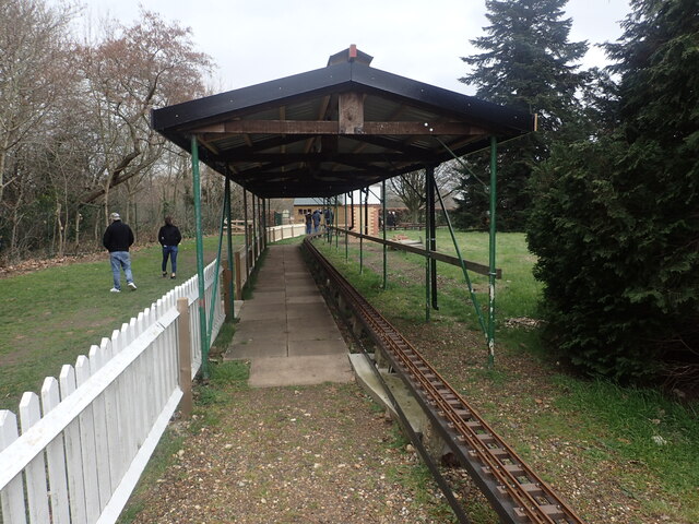
Miniature railway at Hall Place The Welling & District Model Engineering Society moved their layout from their previous location at Falconwood to Hall Place & Gardens in 2022. This is the station.
Miniature railway at Hall Place
The Welling & District Model Engineering Society moved their layout from their previous location at Falconwood to Hall Place & Gardens in 2022. This is the station.
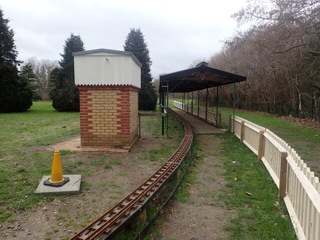
Miniature railway at Hall Place The Welling & District Model Engineering Society moved their layout from their previous location at Falconwood to Hall Place & Gardens in 2022.
Miniature railway at Hall Place
The Welling & District Model Engineering Society moved their layout from their previous location at Falconwood to Hall Place & Gardens in 2022.
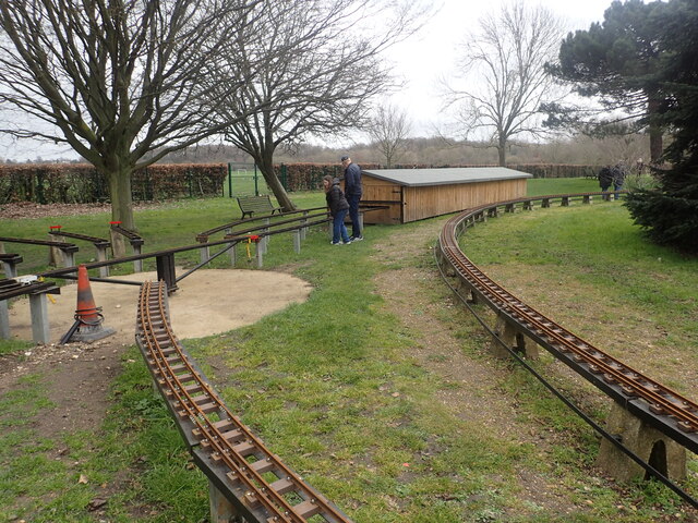
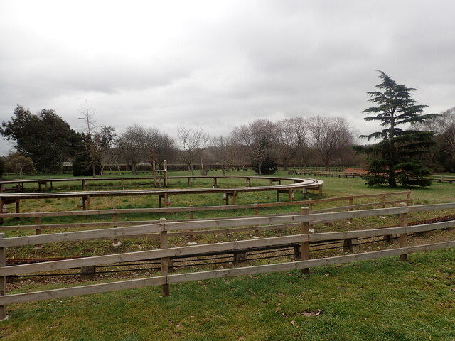
Miniature railway at Hall Place The Welling & District Model Engineering Society moved their layout from their previous location at Falconwood to Hall Place & Gardens in 2022. This photograph gives some idea of the size of the layout.
Miniature railway at Hall Place
The Welling & District Model Engineering Society moved their layout from their previous location at Falconwood to Hall Place & Gardens in 2022. This photograph gives some idea of the size of the layout.
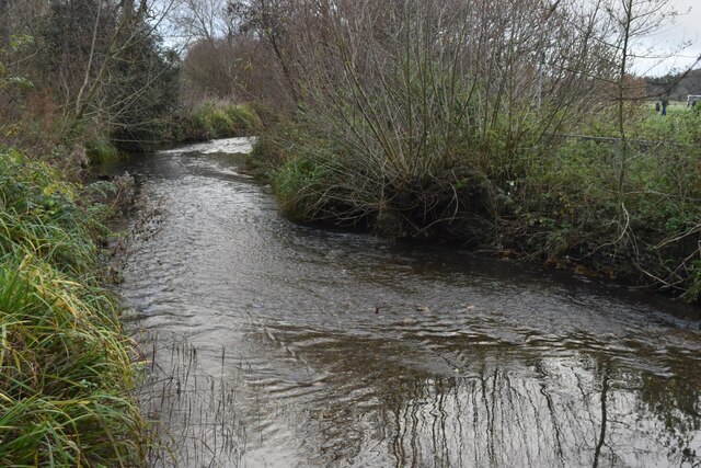
River Cray at Hall Place The River Cray is a very clean chalk stream with natural banks for much of its length. It is followed throughout its course in Bexley by the Cray Riverway. This view looks upriver at Hall Place.
River Cray at Hall Place
The River Cray is a very clean chalk stream with natural banks for much of its length. It is followed throughout its course in Bexley by the Cray Riverway. This view looks upriver at Hall Place.
Entering Joyden Wood A Woodland Trust site in Dartford borough, opened to the public in 1988.  Close to the A2 and A20 trunk roads,this remains a natural ancient woodland and contains visible remains of the ancient "Faesten Dic" (strong dyke), an Anglo-Saxon (or possibly older) defensive ditch.  It is approximately 130 hectares in area and contains many tracks and paths; the main tracks are open to horses and cyclists.
Entering Joyden Wood
A Woodland Trust site in Dartford borough, opened to the public in 1988. Close to the A2 and A20 trunk roads,this remains a natural ancient woodland and contains visible remains of the ancient "Faesten Dic" (strong dyke), an Anglo-Saxon (or possibly older) defensive ditch. It is approximately 130 hectares in area and contains many tracks and paths; the main tracks are open to horses and cyclists.
Joyden Wood A Woodland Trust site in Dartford borough, opened to the public in 1988.  Close to the A2 and A20 trunk roads,this remains a natural ancient woodland and contains visible remains of the ancient "Faesten Dic" (strong dyke), an Anglo-Saxon (or possibly older) defensive ditch.  It is approximately 130 hectares in area and contains many tracks and paths; the main tracks are open to horses and cyclists.
Joyden Wood
A Woodland Trust site in Dartford borough, opened to the public in 1988. Close to the A2 and A20 trunk roads,this remains a natural ancient woodland and contains visible remains of the ancient "Faesten Dic" (strong dyke), an Anglo-Saxon (or possibly older) defensive ditch. It is approximately 130 hectares in area and contains many tracks and paths; the main tracks are open to horses and cyclists.
Joyden Wood
Joyden Wood
Birchwood Park Golf Course Website: <span class="nowrap"><a title="www.birchwoodparkgc.co.uk/" rel="nofollow ugc noopener" href="http://www.birchwoodparkgc.co.uk/">Link</a><img style="margin-left:2px;" alt="External link" title="External link - shift click to open in new window" src="https://s1.geograph.org.uk/img/external.png" width="10" height="10"/></span>
Birchwood Park Golf Course
Website: LinkExternal link
Joydens Wood A Woodland Trust site in Dartford borough, opened to the public in 1988.  Close to the A2 and A20 trunk roads,this remains a natural ancient woodland and contains visible remains of the ancient "Faesten Dic" (strong dyke), an Anglo-Saxon (or possibly older) defensive ditch.  It is approximately 130 hectares in area and contains many tracks and paths; the main tracks are open to horses and cyclists.
Joydens Wood
A Woodland Trust site in Dartford borough, opened to the public in 1988. Close to the A2 and A20 trunk roads,this remains a natural ancient woodland and contains visible remains of the ancient "Faesten Dic" (strong dyke), an Anglo-Saxon (or possibly older) defensive ditch. It is approximately 130 hectares in area and contains many tracks and paths; the main tracks are open to horses and cyclists.
Show me another place!

Pearsons' Wood is located at Grid Ref: TQ5072 (Lat: 51.433039, Lng: 0.15880224)

Unitary Authority: Bexley

Police Authority: Metropolitan

What 3 Words

///vague.crab.trace. Near Bexley, London

Related Wikis

Coldblow

Coldblow is a village in South East London within the London Borough of Bexley. It is located south east of Bexleyheath and south west of Dartford, adjacent...

Joyden's Wood

Joyden's Wood is an area of ancient woodland that straddles the border between the London Borough of Bexley in South East London and the Borough of Dartford...

Maypole, Dartford

Maypole is a village in the Borough of Dartford in Kent, England. It is located north of Joyden's Wood and south-west of the town of Dartford. In the 2021...

Bexley railway station

Bexley railway station is in the London Borough of Bexley in south-east London, in Travelcard Zone 6. It is 13 miles 69 chains (22.3 km) down the line...

Nearby Amenities

Located within 500m of 51.433039,0.15880224
Noexit: yes
Lat/Long: 51.4308828/0.164592
Mini Roundabout
Direction: clockwise
Lat/Long: 51.4335749/0.1657744
Noexit: yes
Lat/Long: 51.4308303/0.1648853
Post Box
Collection Times: Mo-Fr 09:00; Sa 07:00
Operator: Royal Mail
Operator Wikidata: Q638098
Post Box Type: pillar
Ref: DA5 201D
Royal Cypher: GR
Royal Cypher Wikidata: Q33102273
Survey Date: 2018-08-01
Lat/Long: 51.4315777/0.1655173
Barrier: swing_gate
Locked: yes
Material: metal
Lat/Long: 51.4349617/0.1595206
Fixme: The details in this area, while improved, may not be quite correct. Please fix if they're not. Where does fencing go? Where does track go?
Lat/Long: 51.4314239/0.1582422
Bench
Lat/Long: 51.4290566/0.1568844
Bus Stop
St Mary's Road
Naptan AtcoCode: 490012799E
Naptan Bearing: E
Naptan CommonName: St Mary's Road Dartford Road
Naptan Street: DARTFORD ROAD
Naptan Verified: no
Public Transport: platform
Lat/Long: 51.4371738/0.1611465
Design: barrel
Power: tower
Lat/Long: 51.4334757/0.1546286
Design: barrel
Power: tower
Lat/Long: 51.4338143/0.1553426
Design: barrel
Power: tower
Lat/Long: 51.4345047/0.1542812
Power: transformer
Lat/Long: 51.4332183/0.154915
Power: transformer
Lat/Long: 51.4330152/0.1539011
Power: transformer
Lat/Long: 51.4337125/0.1538985
Denehole
Natural: cave_entrance
Lat/Long: 51.4352278/0.164799
Denehole
Natural: cave_entrance
Lat/Long: 51.4343862/0.1646434
Denehole
Natural: cave_entrance
Lat/Long: 51.4343645/0.1648365
Crossing
Crossing: uncontrolled
Lat/Long: 51.4341015/0.1549075
Power: transformer
Lat/Long: 51.431772/0.1548869
Bench
Direction: S
Material: metal
Lat/Long: 51.4362722/0.1576391
The data included in this document is from www.openstreetmap.org. The data is made available under ODbL.

Have you been to Pearsons' Wood?

Leave your review of Pearsons' Wood below (or comments, questions and feedback).