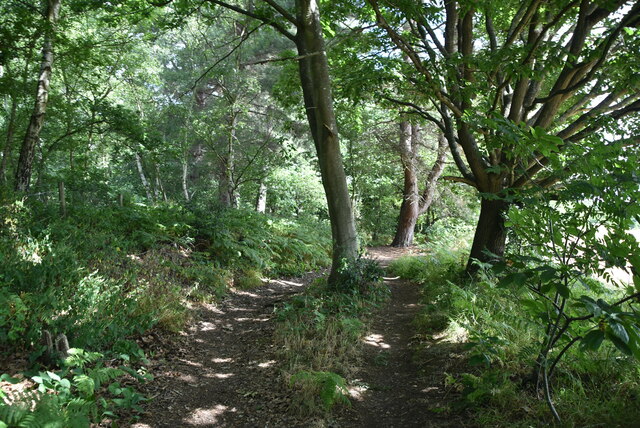
Norman's Wood
Wood, Forest in Kent
England
Norman's Wood
The requested URL returned error: 429 Too Many Requests
If you have any feedback on the listing, please let us know in the comments section below.
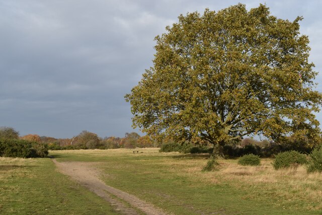
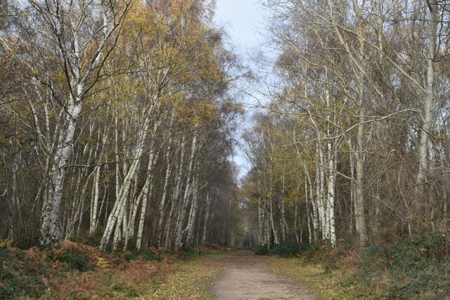
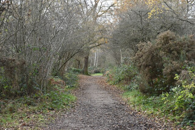
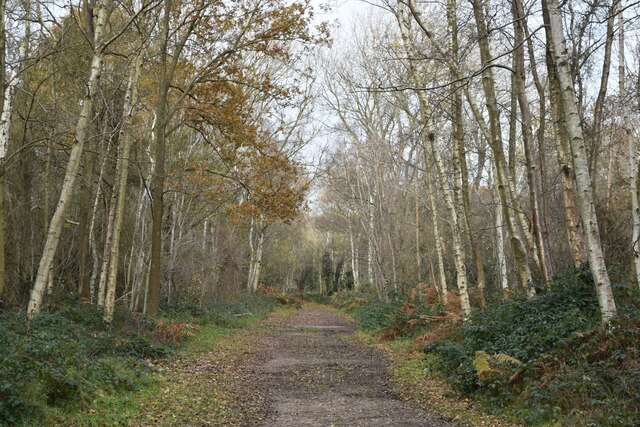
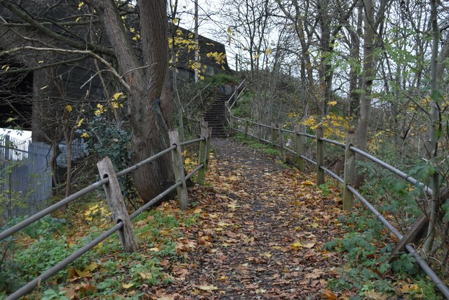
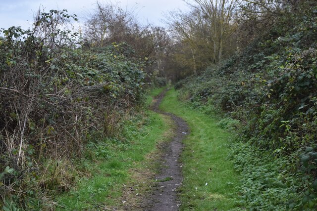
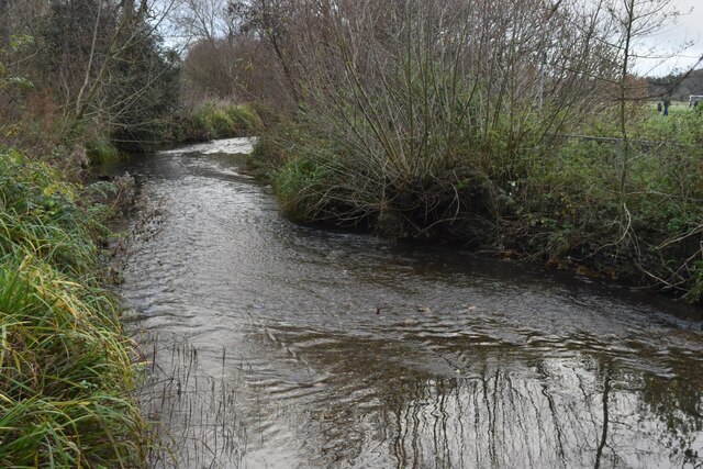
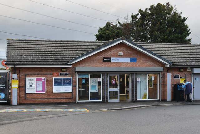
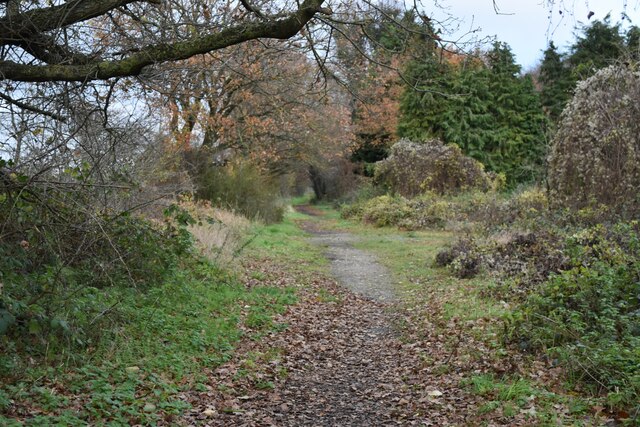
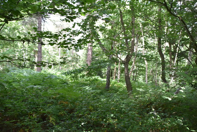
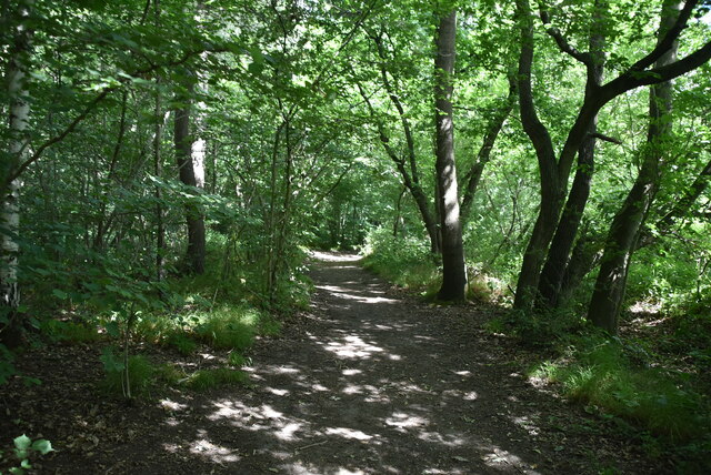
Norman's Wood Images
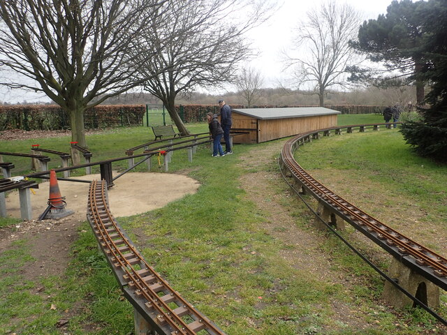
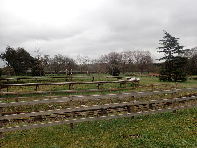
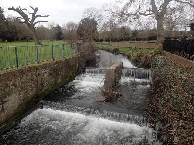
Images are sourced within 2km of 51.435049/0.16050847 or Grid Reference TQ5072. Thanks to Geograph Open Source API. All images are credited.
Norman's Wood is located at Grid Ref: TQ5072 (Lat: 51.435049, Lng: 0.16050847)
Unitary Authority: Bexley
Police Authority: Metropolitan
What 3 Words
///goats.guitar.deck. Near Bexley, London
Nearby Locations
Related Wikis

Coldblow
Coldblow is a village in South East London within the London Borough of Bexley. It is located south east of Bexleyheath and south west of Dartford, adjacent...

Maypole, Dartford
Maypole is a village in the Borough of Dartford in Kent, England. It is located north of Joyden's Wood and south-west of the town of Dartford. In the 2021...

Bexley Hospital
Bexley Hospital was a psychiatric hospital at Old Bexley Lane, Dartford Heath, Bexley, in the County of Kent. It operated between 19 September 1898 and...

Joyden's Wood
Joyden's Wood is an area of ancient woodland that straddles the border between the London Borough of Bexley in South East London and the Borough of Dartford...
Nearby Amenities
Located within 500m of 51.435049,0.16050847Have you been to Norman's Wood?
Leave your review of Norman's Wood below (or comments, questions and feedback).