Oak Spring
Wood, Forest in Hertfordshire Epping Forest
England
Oak Spring
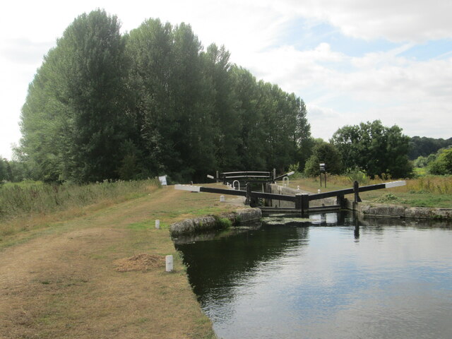
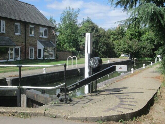
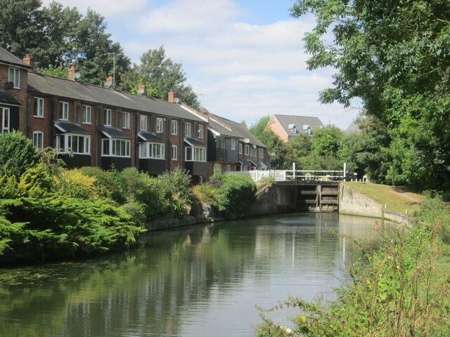
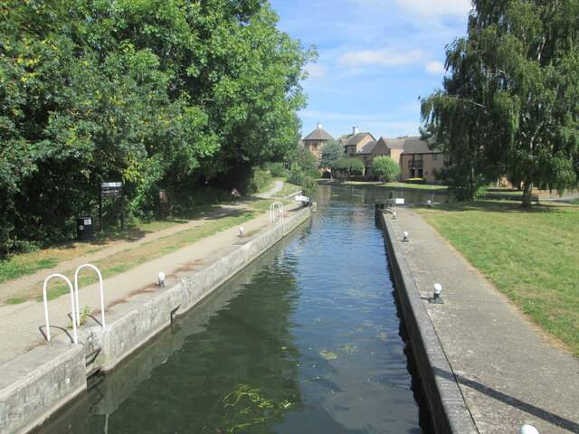
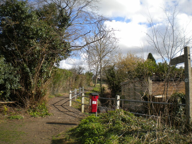
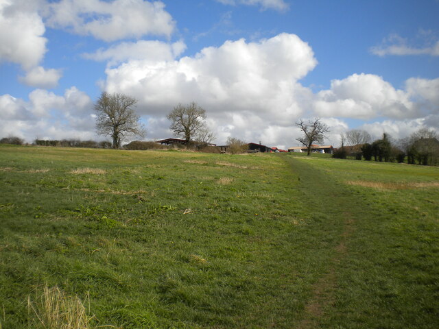
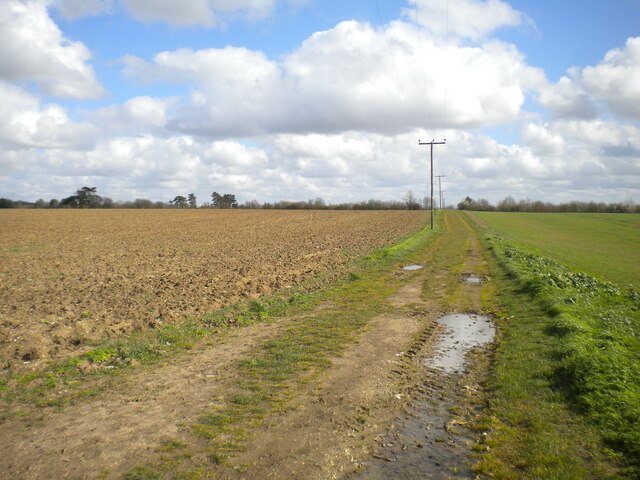
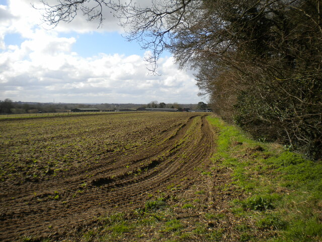
Oak Spring is a picturesque woodland area located in Hertfordshire, England. Covering a vast expanse, it is known for its dense oak trees and lush vegetation, making it a popular destination for nature enthusiasts and hikers alike. The forest is situated in close proximity to the town of Hertford, adding to its accessibility and appeal.
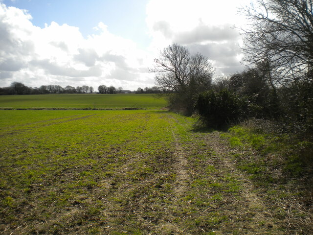
The woodland is characterized by its rich biodiversity, housing a wide array of flora and fauna. The dominant oak trees provide a stunning canopy, creating a serene and tranquil atmosphere. Other tree species, such as beech, ash, and birch, can also be found scattered throughout the forest, adding to its diversity.
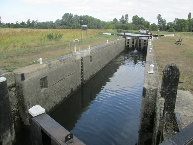
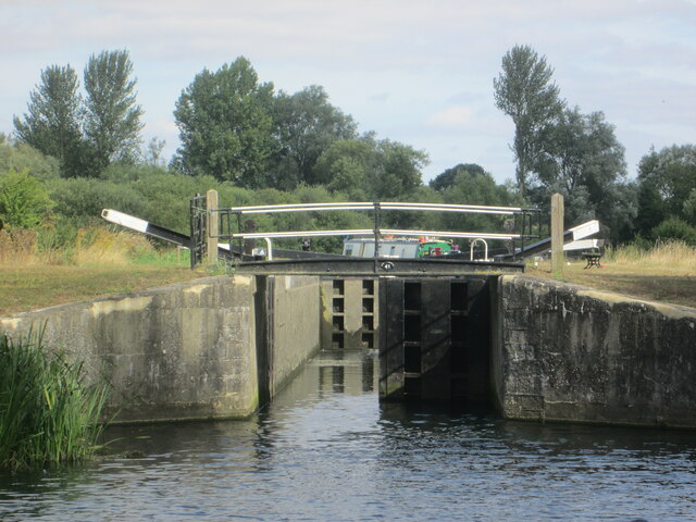
Walking trails meander through Oak Spring, allowing visitors to explore its magnificent beauty. These paths range from easy strolls to more challenging hikes, accommodating various fitness levels and preferences. Along the way, one can encounter an abundance of wildlife, including deer, squirrels, and a variety of bird species.
The forest offers a range of recreational activities, including picnicking, camping, and birdwatching. Many visitors also engage in photography, capturing the enchanting scenery and unique wildlife. Moreover, Oak Spring hosts educational programs and guided tours, aiming to promote environmental awareness and conservation.
Oak Spring is not only a haven for nature lovers, but also plays a vital role in maintaining the ecological balance of the region. Its preservation is of utmost importance to ensure the continuity of its diverse ecosystem and the enjoyment of future generations.
If you have any feedback on the listing, please let us know in the comments section below.
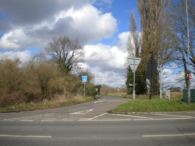
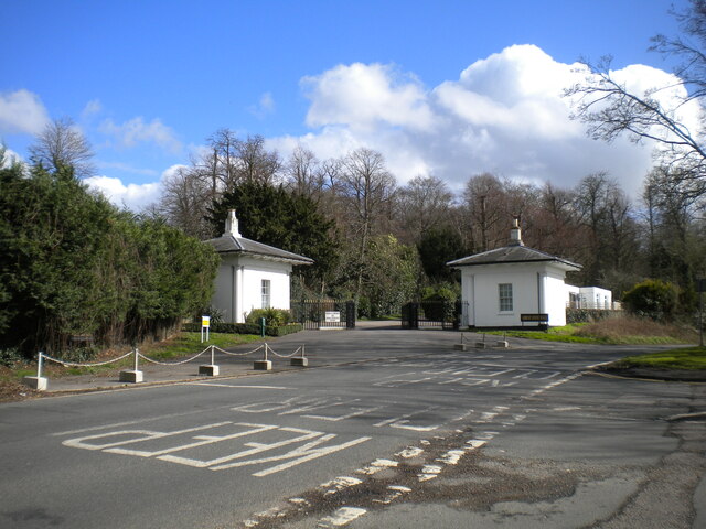
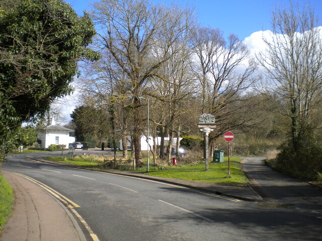
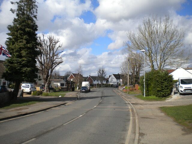
Oak Spring Images
Images are sourced within 2km of 51.817403/0.17699664 or Grid Reference TL5015. Thanks to Geograph Open Source API. All images are credited.

Oak Spring is located at Grid Ref: TL5015 (Lat: 51.817403, Lng: 0.17699664)
Administrative County: Essex
District: Epping Forest
Police Authority: Essex
What 3 Words
///bulb.silent.gives. Near Little Hallingbury, Essex
Nearby Locations
Related Wikis
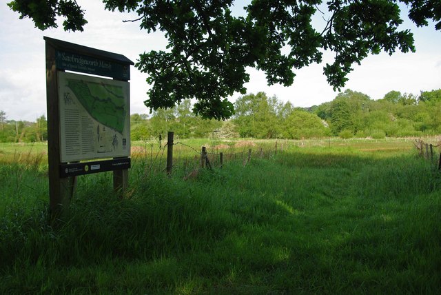
Sawbridgeworth Marsh
Sawbridgeworth Marsh is a 6.3-hectare (16-acre) biological Site of Special Scientific Interest (SSSI) near Sawbridgeworth in Hertfordshire, apart from...
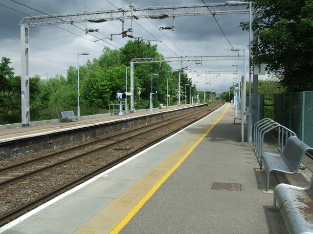
Sawbridgeworth railway station
Sawbridgeworth railway station is on the West Anglia Main Line serving the town of Sawbridgeworth in Hertfordshire, England. It is 26 miles 57 chains...

Lower Sheering
Lower Sheering is a residential dormitory area based on Sheering Lower Road, in the civil parish of Sheering, and the Epping Forest District of Essex,...

Sheering
Sheering is a civil parish and village in the Epping Forest district of Essex, England. Sheering village is situated 2.8 miles (5 km) north-east from Harlow...
Nearby Amenities
Located within 500m of 51.817403,0.17699664Have you been to Oak Spring?
Leave your review of Oak Spring below (or comments, questions and feedback).