Wrens' Spring
Wood, Forest in Hertfordshire Epping Forest
England
Wrens' Spring
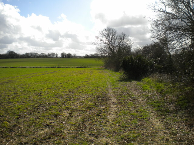
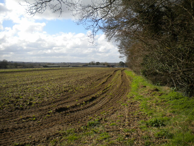
Wrens' Spring is a small woodland area located in Hertfordshire, England. Situated in the eastern part of the county, it covers an area of approximately 10 acres. The woodland is known for its picturesque beauty and is often frequented by nature enthusiasts and walkers.
The main feature of Wrens' Spring is a natural spring that runs through the center of the woodland, giving it its name. The spring is surrounded by a variety of trees, including oak, beech, and birch, which provide a lush and vibrant canopy during the warmer months. The forest floor is covered in a thick layer of moss and ferns, creating a serene and peaceful atmosphere.
The woodland is home to a diverse range of wildlife, including various bird species, such as wrens, thrushes, and woodpeckers. Small mammals like squirrels and rabbits can also be spotted among the trees. Wrens' Spring is particularly known for its abundance of wildflowers, which bloom in a kaleidoscope of colors during the spring and summer seasons.
The woodland offers several walking trails, allowing visitors to explore its beauty at their own pace. It is a popular destination for families, dog walkers, and nature photographers. In addition, the tranquil surroundings make it an ideal spot for meditation and relaxation.
Wrens' Spring is well-maintained by local authorities, ensuring that it remains a peaceful and natural retreat for both residents and visitors alike.
If you have any feedback on the listing, please let us know in the comments section below.
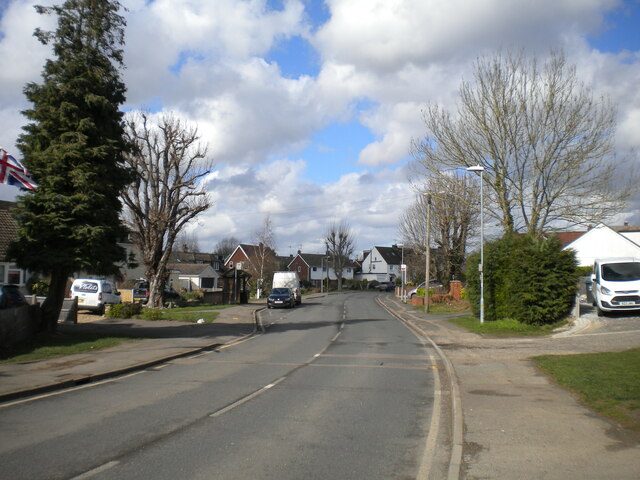
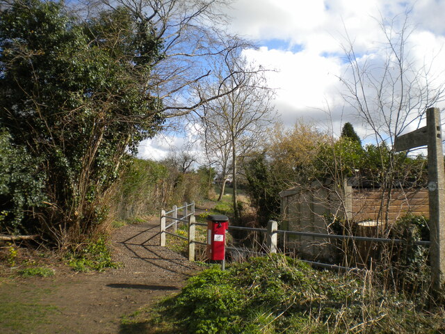
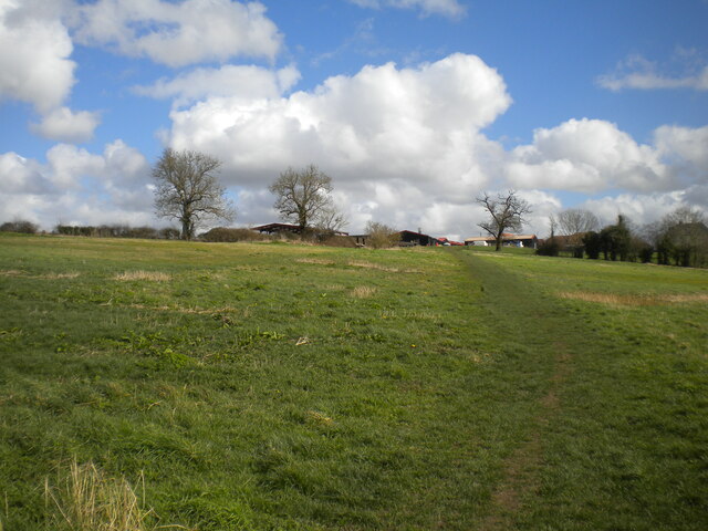
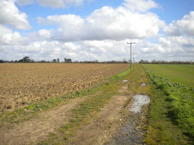
Wrens' Spring Images
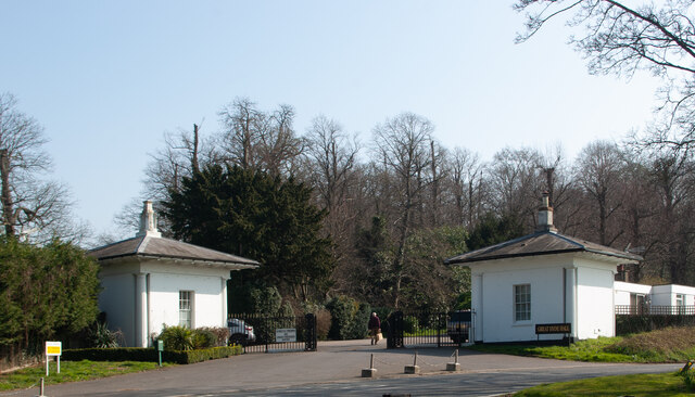
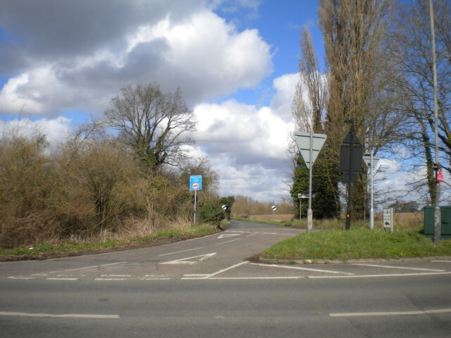
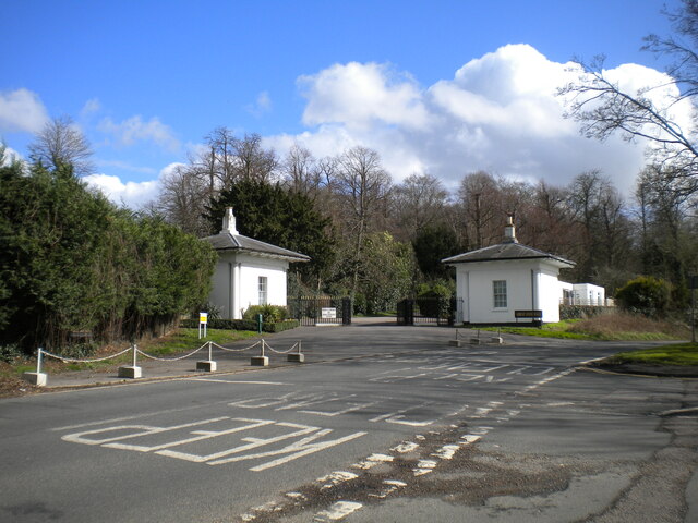
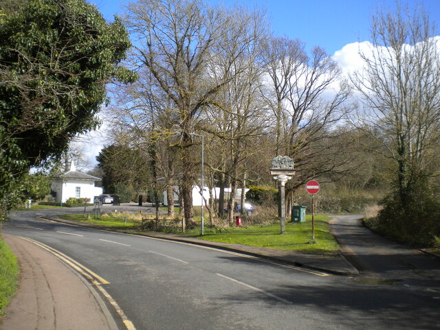
Images are sourced within 2km of 51.814749/0.18775025 or Grid Reference TL5015. Thanks to Geograph Open Source API. All images are credited.


Wrens' Spring is located at Grid Ref: TL5015 (Lat: 51.814749, Lng: 0.18775025)
Administrative County: Essex
District: Epping Forest
Police Authority: Essex
What 3 Words
///chairs.loops.wooden. Near Hatfield Heath, Essex
Nearby Locations
Related Wikis

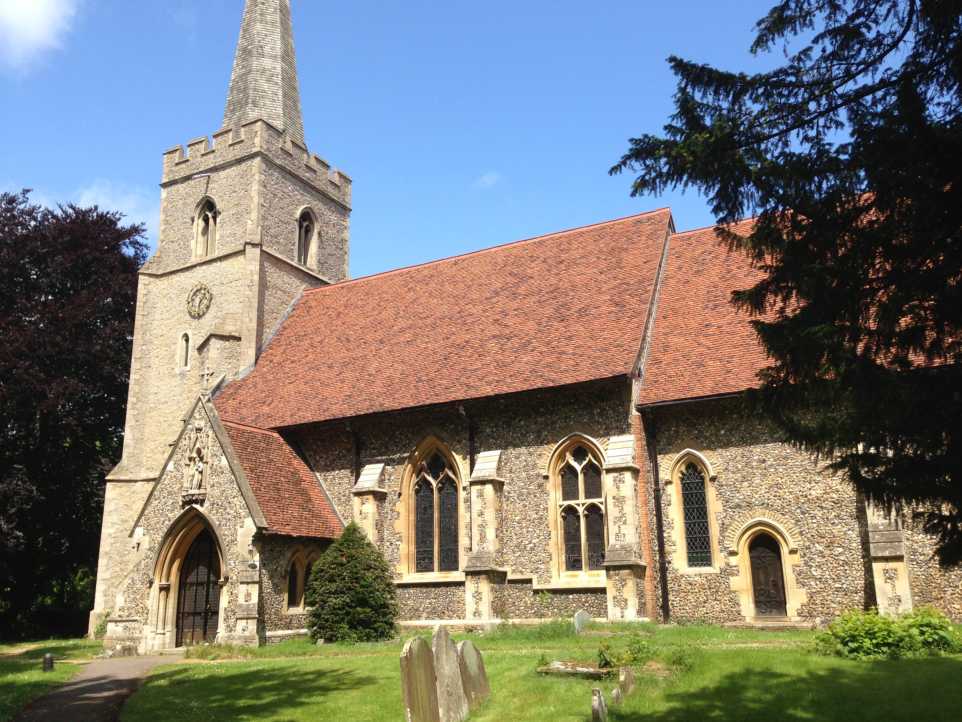
Sheering
Sheering is a civil parish and village in the Epping Forest district of Essex, England. Sheering village is situated 2.8 miles (5 km) north-east from Harlow...
Hatfield Heath
Hatfield Heath is a village, civil parish, and an electoral ward in the Uttlesford district of Essex, England, and at its west is close to the border with...
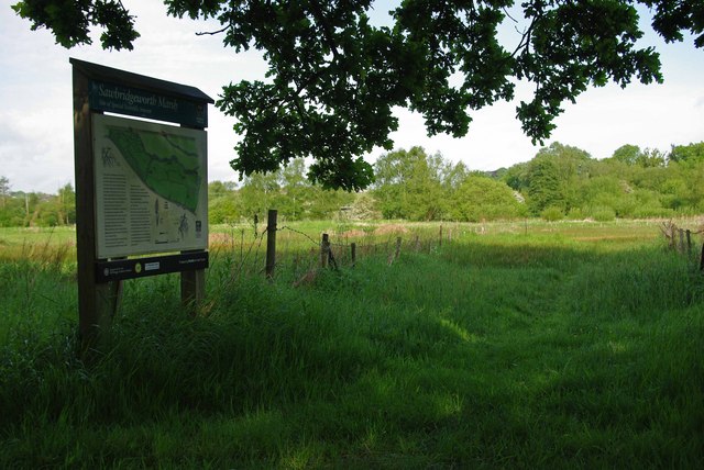
Sawbridgeworth Marsh
Sawbridgeworth Marsh is a 6.3-hectare (16-acre) biological Site of Special Scientific Interest (SSSI) near Sawbridgeworth in Hertfordshire, apart from...

Ardley End
Ardley End is a hamlet in the Uttlesford area of Essex, England. It is approximately half a mile from the village of Hatfield Heath.
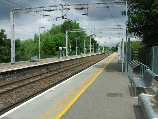
Sawbridgeworth railway station
Sawbridgeworth railway station is on the West Anglia Main Line serving the town of Sawbridgeworth in Hertfordshire, England. It is 26 miles 57 chains...
Lower Sheering
Lower Sheering is a residential dormitory area based on Sheering Lower Road, in the civil parish of Sheering, and the Epping Forest District of Essex,...
Great Hallingbury
Great Hallingbury is a village and a civil parish in the Uttlesford District of Essex, England. The population of the civil parish at the 2011 census was...

Little Hallingbury
Little Hallingbury is a small village and a civil parish in the Uttlesford district of Essex, England. == Geography == Little Hallingbury parish is on...
Nearby Amenities
Located within 500m of 51.814749,0.18775025Have you been to Wrens' Spring?
Leave your review of Wrens' Spring below (or comments, questions and feedback).