Clay Shaw
Wood, Forest in Sussex Wealden
England
Clay Shaw

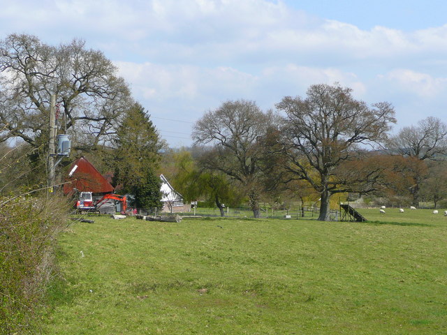
Clay Shaw, Sussex (Wood, Forest) is a small village located in the county of Sussex, England. Situated amidst the picturesque woodlands and serene forests, this village offers a tranquil and idyllic setting for residents and visitors alike.
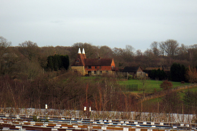
With a population of approximately 500 people, Clay Shaw maintains a close-knit community atmosphere. The village primarily consists of residential homes, interspersed with lush green spaces and patches of woodland. The architecture of the village reflects a blend of traditional and modern styles, with charming cottages and contemporary houses dotting the landscape.
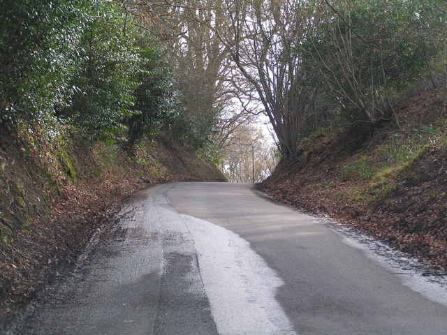
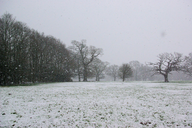
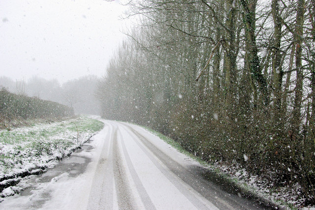
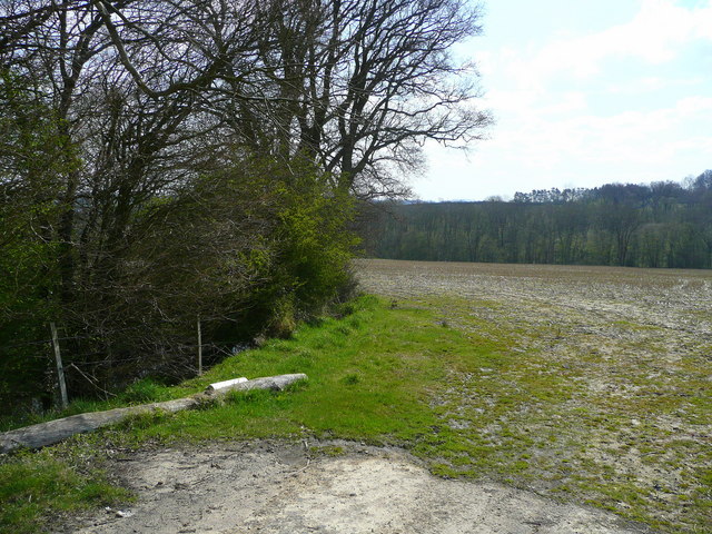
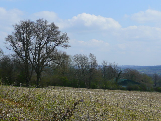
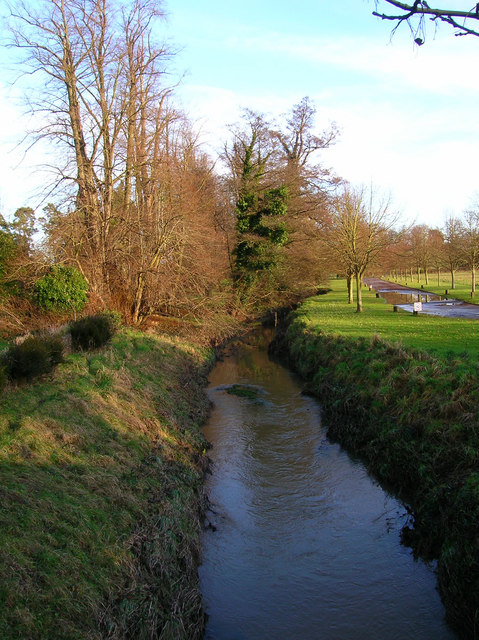
The natural beauty surrounding Clay Shaw is one of its key attractions. The village is enveloped by dense forests, providing ample opportunities for nature enthusiasts to indulge in hiking, bird-watching, and exploring the abundant flora and fauna. The woodlands are also home to a variety of wildlife, including deer, foxes, and numerous bird species.
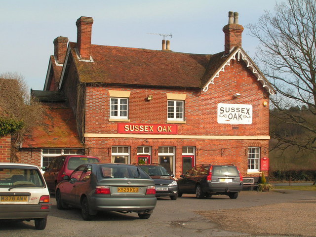
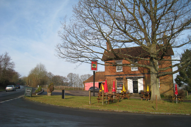
Despite its rural setting, Clay Shaw is conveniently located near several amenities. The nearby town of Sussex offers a range of shops, restaurants, and recreational facilities, ensuring that residents have access to all necessary conveniences.
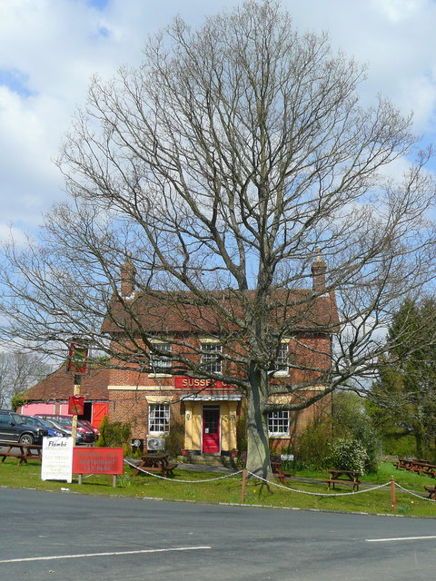
The village organizes various community events throughout the year, fostering a strong sense of togetherness among its inhabitants. These events include summer fairs, Christmas markets, and local sports competitions. Additionally, Clay Shaw has a primary school, a village hall, and a pub, further enhancing the community spirit.
Clay Shaw, Sussex (Wood, Forest) is a charming village that offers a peaceful retreat in the heart of nature, making it an ideal place for those seeking a serene and close-knit community.
If you have any feedback on the listing, please let us know in the comments section below.
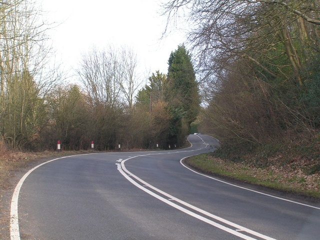
Clay Shaw Images
Images are sourced within 2km of 51.123189/0.14458063 or Grid Reference TQ5038. Thanks to Geograph Open Source API. All images are credited.


Clay Shaw is located at Grid Ref: TQ5038 (Lat: 51.123189, Lng: 0.14458063)
Administrative County: East Sussex
District: Wealden
Police Authority: Sussex
What 3 Words
///famed.cutaway.stilted. Near Groombridge, East Sussex
Nearby Locations
Related Wikis

Ashurst railway station
Ashurst railway station is on the Uckfield branch of the Oxted line in southern England and serves Ashurst in Kent (very close to the East Sussex border...
River Grom
The River Grom is a short tributary of the River Medway near Tunbridge Wells in south-east England. Flowing westwards through High Rocks and Groombridge...

Arun Valley line
The Arun Valley line, also known as the Mid Sussex line, is part of the Southern- and Thameslink-operated railway services. For the initial part of the...

Blackham
Blackham is a village in the Wealden district of East Sussex. It lies within the Withyham civil parish. Its nearest town is Royal Tunbridge Wells, which...
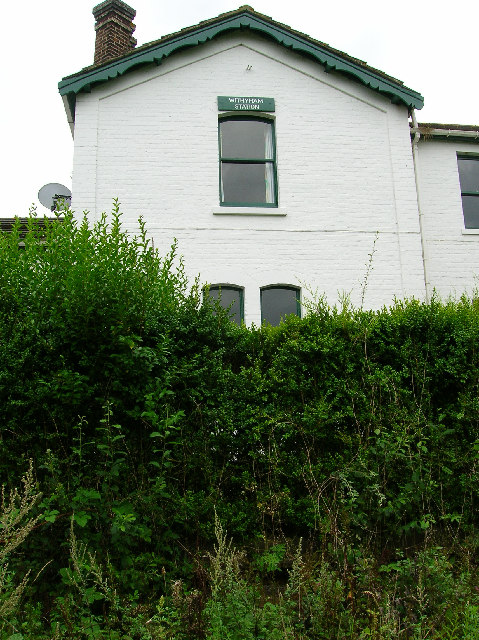
Withyham railway station
Withyham was a railway station on the Three Bridges to Tunbridge Wells Central Line which closed in 1967, a casualty of the Beeching Axe. The station opened...
Ashurst, Kent
Ashurst is a village and former civil parish, now in the parish of Speldhurst, in the Tunbridge Wells district, in the county of Kent, England. It is 5...

Mills Rocks
Mills Rocks is a 1.9-hectare (4.7-acre) biological Site of Special Scientific Interest south-east of East Grinstead in West Sussex.This site has rock outcrops...

Stone Cross, Tunbridge Wells
The placename Stone Cross occurs in several parts of England, including two other smaller places in Kent: one near Sandwich, and one southeast of Ashford...
Nearby Amenities
Located within 500m of 51.123189,0.14458063Have you been to Clay Shaw?
Leave your review of Clay Shaw below (or comments, questions and feedback).