Park Wood

Wood, Forest in Sussex Wealden

England

Park Wood

Framfield Stream Small tributary of the Uck that rises near Blackboys. Taken from the footbridge that carries the footpath to Palehouse Common Farm.
Framfield Stream Credit: Simon Carey

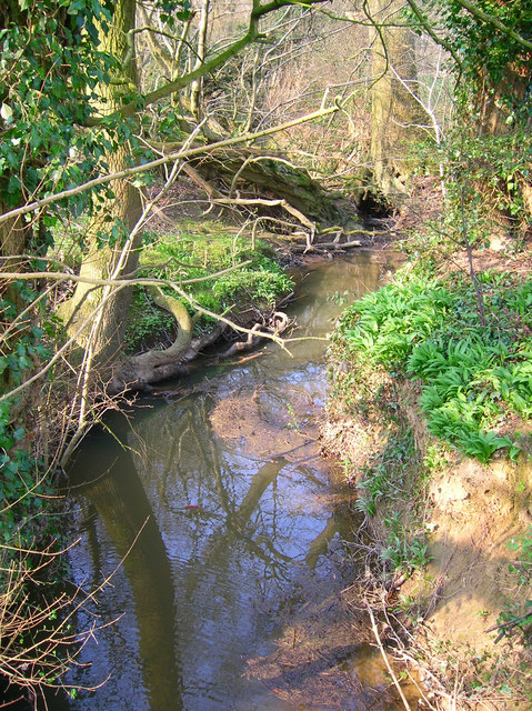
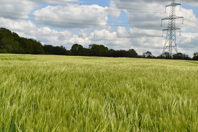
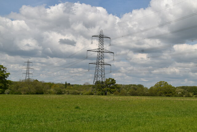
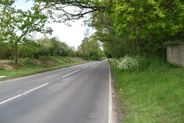
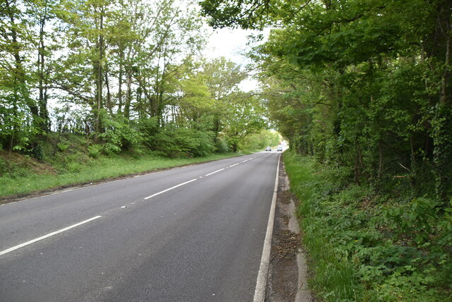
Park Wood is a picturesque forest located in Sussex, England. Covering an area of approximately 50 hectares, it is a popular destination for nature enthusiasts and those seeking tranquility amidst the lush greenery. The wood is situated just a few miles away from the town of Haywards Heath, making it easily accessible for locals and visitors alike.

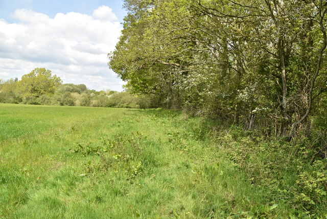
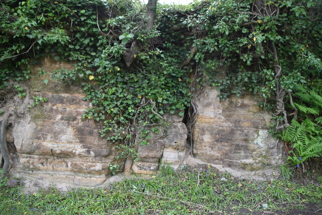
The woodland boasts an impressive variety of tree species, including oak, beech, ash, and birch. These majestic trees create a dense canopy, providing shelter for a wide range of wildlife. The forest floor is adorned with a carpet of wildflowers during the spring and summer months, adding to the natural beauty of the area.

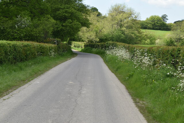
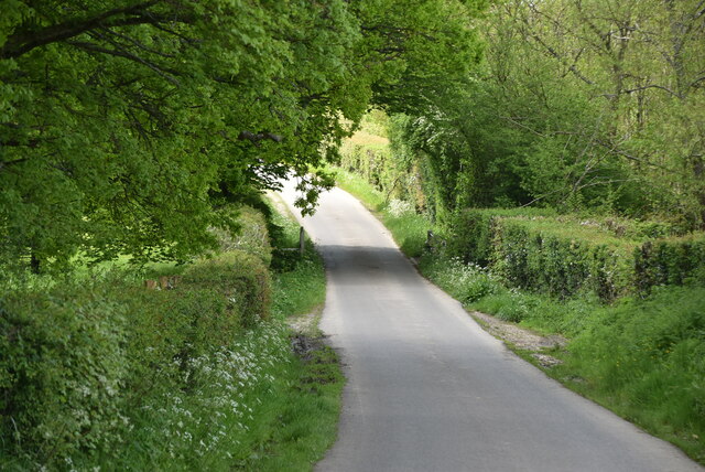
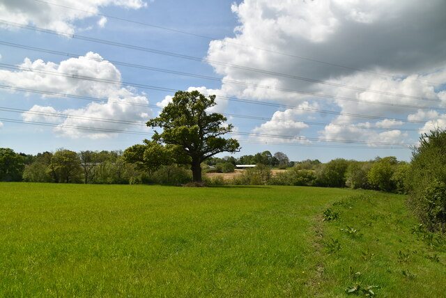
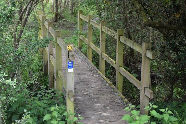
Park Wood offers numerous trails and pathways, allowing visitors to explore its enchanting landscapes. These routes cater to different levels of difficulty, making it suitable for both casual strollers and avid hikers. Along the way, visitors may encounter charming wooden benches and picnic spots, providing an opportunity to take a break and enjoy the serene surroundings.

The woodland is also home to a diverse array of wildlife. Birdwatchers can catch sight of various species, including woodpeckers, nuthatches, and tawny owls. In addition, small mammals such as foxes, badgers, and squirrels can be spotted among the trees.

With its natural beauty, peaceful atmosphere, and abundant wildlife, Park Wood offers a tranquil escape from the hustle and bustle of everyday life. Whether one seeks a leisurely walk, a family picnic, or a chance to immerse themselves in nature, Park Wood is a true gem in the heart of Sussex.

If you have any feedback on the listing, please let us know in the comments section below.

Park Wood Images

Images are sourced within 2km of 50.949712/0.11058782 or Grid Reference TQ4818. Thanks to Geograph Open Source API. All images are credited.

Framfield Stream Small tributary of the Uck that rises near Blackboys. Taken from the footbridge that carries the footpath to Palehouse Common Farm.
Framfield Stream
Small tributary of the Uck that rises near Blackboys. Taken from the footbridge that carries the footpath to Palehouse Common Farm.
Sand Hill Lane
Sand Hill Lane
Sand Hill Lane
Sand Hill Lane
Footpath in wheat field
Arable field and pylon
Woodland, field boundary
Sussex farmland
Sussex farmland
Footbridge
Footbridge
Approaching Crockstead Farm Hotel
Crockstead Farm Hotel
Sandstone cliff
Sandstone cliff
East Lodge, Crockstead Farm Hotel
West Lodge, Crockstead Farm Hotel
A22 The A22 is one of the  major roads in the south east of England. It carries traffic from London to Eastbourne on the East Sussex coast. The route goes through Purley, East Grinstead, Forest Row, Hailsham and Polegate. A distance of 48 miles.
<span class="nowrap"><a title="http://www.sabre-roads.org.uk/wiki/index.php?title=B2104" rel="nofollow ugc noopener" href="http://www.sabre-roads.org.uk/wiki/index.php?title=B2104">Link</a><img style="margin-left:2px;" alt="External link" title="External link - shift click to open in new window" src="https://s1.geograph.org.uk/img/external.png" width="10" height="10"/></span>
A22
The A22 is one of the major roads in the south east of England. It carries traffic from London to Eastbourne on the East Sussex coast. The route goes through Purley, East Grinstead, Forest Row, Hailsham and Polegate. A distance of 48 miles. LinkExternal link
A22, looking north west The A22 is one of the  major roads in the south east of England. It carries traffic from London to Eastbourne on the East Sussex coast. The route goes through Purley, East Grinstead, Forest Row, Hailsham and Polegate. A distance of 48 miles.
<span class="nowrap"><a title="http://www.sabre-roads.org.uk/wiki/index.php?title=B2104" rel="nofollow ugc noopener" href="http://www.sabre-roads.org.uk/wiki/index.php?title=B2104">Link</a><img style="margin-left:2px;" alt="External link" title="External link - shift click to open in new window" src="https://s1.geograph.org.uk/img/external.png" width="10" height="10"/></span>
A22, looking north west
The A22 is one of the major roads in the south east of England. It carries traffic from London to Eastbourne on the East Sussex coast. The route goes through Purley, East Grinstead, Forest Row, Hailsham and Polegate. A distance of 48 miles. LinkExternal link
Show me another place!

Park Wood is located at Grid Ref: TQ4818 (Lat: 50.949712, Lng: 0.11058782)

Administrative County: East Sussex

District: Wealden

Police Authority: Sussex

What 3 Words

///balconies.retina.gardens. Near Uckfield, East Sussex

Related Wikis

East Sussex National Golf Club

East Sussex National Golf Club is a golf course located near to Uckfield in East Sussex. It is considered one of the finer golf courses in the British...

Little Horsted

Little Horsted (also known as Horsted Parva) is a village and civil parish in the Wealden district of East Sussex, England. It is located two miles (3...

Horsted Place

Horsted Place is a Tudor Revival country house, now a hotel, in Little Horsted, East Sussex, England. The current building dates to 1850, when it was built...

Framfield

Framfield is a village and civil parish in the Wealden District of East Sussex, England. The village is located two miles (3 km) east of Uckfield; the...

Uckfield Town F.C.

Uckfield Town F.C. was a football club based in Uckfield, East Sussex, England. For their final season, 2013–14, they were members of the Sussex County...

Hempstead Meadow

Hempstead Meadow is a 1.6-hectare (4.0-acre) Local Nature Reserve in Uckfield in East Sussex. It is owned and managed by Uckfield Town Council.The site...

Uckfield

Uckfield () is a town in the Wealden District of East Sussex in South East England. The town is on the River Uck, one of the tributaries of the River Ouse...

Uckfield railway station

Uckfield railway station is the southern terminus of a branch of the Oxted Line in England, serving the town of Uckfield, East Sussex. It is 46 miles 8...

Nearby Amenities

Located within 500m of 50.949712,0.11058782
Material: wood
Power: pole
Lat/Long: 50.9452861/0.1095043
Material: wood
Power: pole
Lat/Long: 50.9464083/0.1102693
Material: wood
Power: pole
Lat/Long: 50.9473008/0.1102514
Material: wood
Power: pole
Lat/Long: 50.9483533/0.1102424
Material: wood
Power: pole
Lat/Long: 50.9494002/0.1102481
Material: wood
Power: pole
Lat/Long: 50.9516379/0.112227
Material: wood
Power: pole
Lat/Long: 50.952373/0.112865
Material: wood
Power: pole
Lat/Long: 50.9533823/0.1136949
Shipreed
Is In: New Road;Ridgewood;Uckfield;East Sussex;England
Place: farm
Lat/Long: 50.9540258/0.1087729
Mount Ephraim
Place: hamlet
Source: OS_OpenData_Streetview
Lat/Long: 50.9522428/0.1156676
Barrier: stile
Lat/Long: 50.9535749/0.1110814
The data included in this document is from www.openstreetmap.org. The data is made available under ODbL.

Have you been to Park Wood?

Leave your review of Park Wood below (or comments, questions and feedback).