High Wood

Wood, Forest in Sussex Wealden

England

High Wood

Communications Mast on the edge of The Bungers
Communications Mast on the edge of The Bungers Credit: Dave Spicer

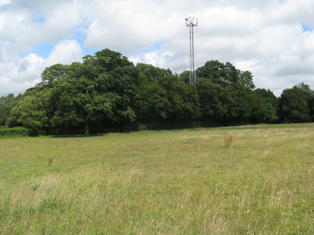
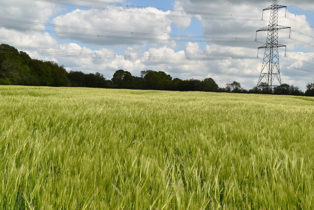
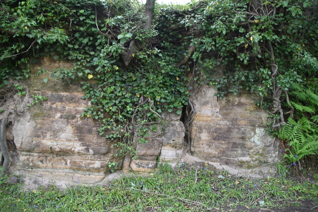
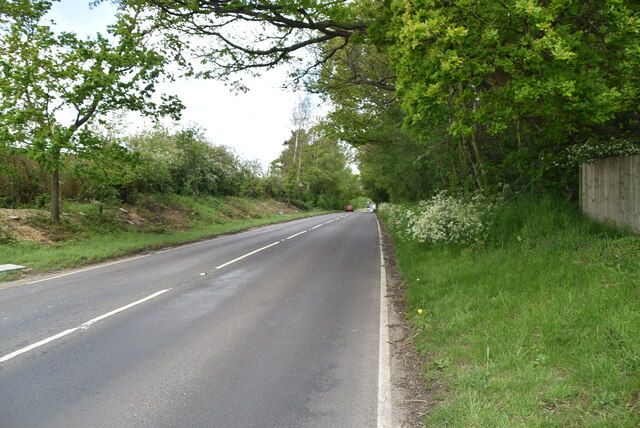
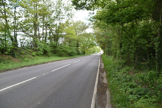
High Wood is a picturesque woodland located in Sussex, England. Situated in the heart of the South Downs National Park, it covers an area of approximately 300 acres, making it one of the largest wooded areas in the region. The wood is primarily composed of a mix of broadleaf trees, including oak, beech, and birch, which create a rich and diverse ecosystem.

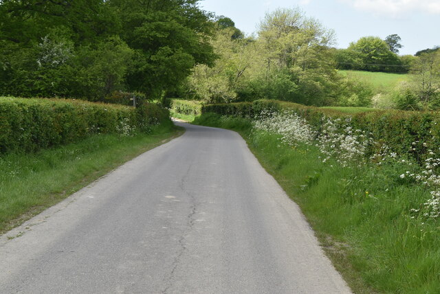
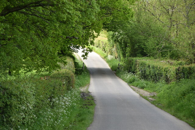
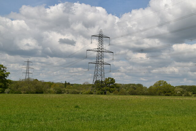
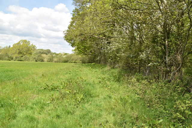
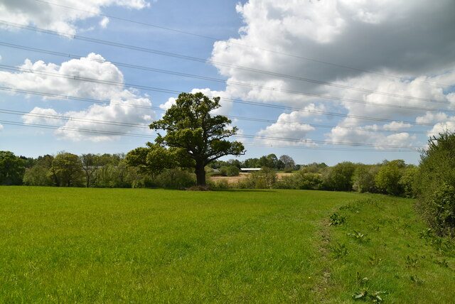
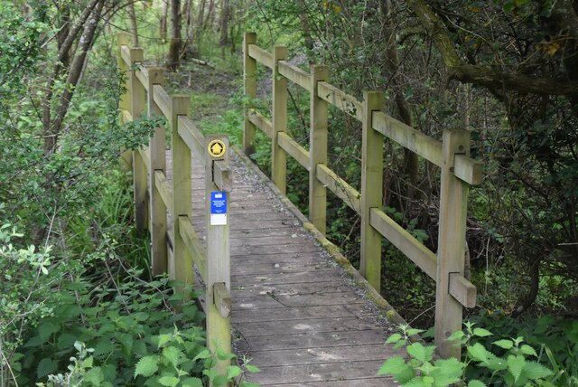
The woodland is known for its natural beauty and tranquility, attracting nature enthusiasts, hikers, and photographers alike. It offers a range of walking trails, allowing visitors to explore the wood at their own pace and enjoy the peaceful atmosphere. The well-maintained paths weave through the trees, revealing stunning vistas and glimpses of wildlife.

High Wood also boasts a rich history, with evidence of human activity dating back centuries. Remains of ancient settlements and burial mounds have been discovered within the wood, providing insights into the area's past. Additionally, the wood played a significant role during World War II when it was used as a training ground for the British army.

Today, High Wood is carefully managed to ensure the conservation of its natural resources. Conservation efforts include selective tree felling to promote new growth and maintain the balance of the woodland ecosystem. The wood is also home to a variety of bird species, including woodpeckers, owls, and warblers, making it a popular spot for birdwatching.

In summary, High Wood is a stunning woodland in Sussex, offering a peaceful retreat for nature lovers. Its diverse flora and fauna, combined with its rich history, make it a must-visit destination for those seeking a connection with the natural world.

If you have any feedback on the listing, please let us know in the comments section below.
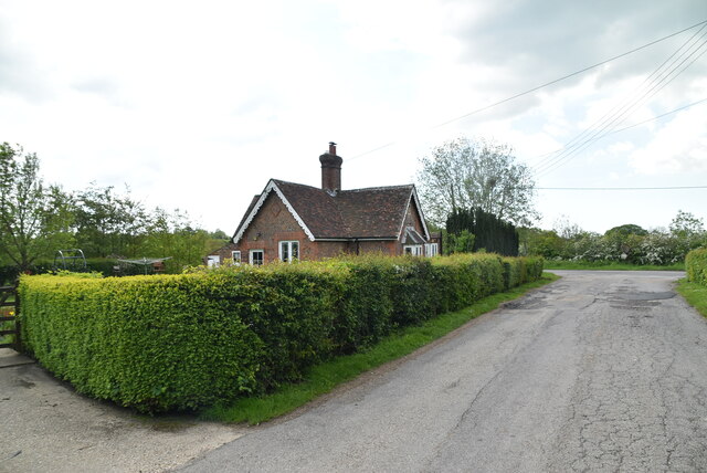
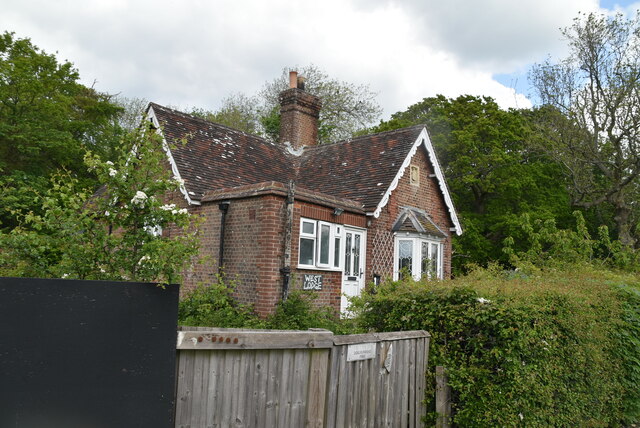
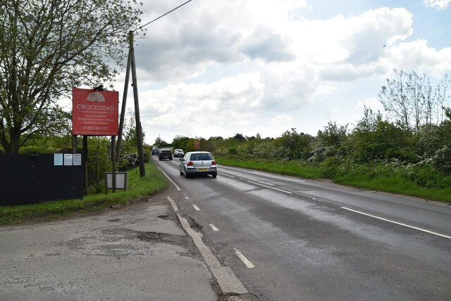
High Wood Images

Images are sourced within 2km of 50.943893/0.10810351 or Grid Reference TQ4818. Thanks to Geograph Open Source API. All images are credited.

Communications Mast on the edge of The Bungers
Sand Hill Lane
Sand Hill Lane
Sand Hill Lane
Sand Hill Lane
Footpath in wheat field
Arable field and pylon
Woodland, field boundary
Sussex farmland
Sussex farmland
Footbridge
Footbridge
Approaching Crockstead Farm Hotel
Crockstead Farm Hotel
Sandstone cliff
Sandstone cliff
East Lodge, Crockstead Farm Hotel
West Lodge, Crockstead Farm Hotel
A22 The A22 is one of the  major roads in the south east of England. It carries traffic from London to Eastbourne on the East Sussex coast. The route goes through Purley, East Grinstead, Forest Row, Hailsham and Polegate. A distance of 48 miles.
<span class="nowrap"><a title="http://www.sabre-roads.org.uk/wiki/index.php?title=B2104" rel="nofollow ugc noopener" href="http://www.sabre-roads.org.uk/wiki/index.php?title=B2104">Link</a><img style="margin-left:2px;" alt="External link" title="External link - shift click to open in new window" src="https://s1.geograph.org.uk/img/external.png" width="10" height="10"/></span>
A22
The A22 is one of the major roads in the south east of England. It carries traffic from London to Eastbourne on the East Sussex coast. The route goes through Purley, East Grinstead, Forest Row, Hailsham and Polegate. A distance of 48 miles. LinkExternal link
A22, looking north west The A22 is one of the  major roads in the south east of England. It carries traffic from London to Eastbourne on the East Sussex coast. The route goes through Purley, East Grinstead, Forest Row, Hailsham and Polegate. A distance of 48 miles.
<span class="nowrap"><a title="http://www.sabre-roads.org.uk/wiki/index.php?title=B2104" rel="nofollow ugc noopener" href="http://www.sabre-roads.org.uk/wiki/index.php?title=B2104">Link</a><img style="margin-left:2px;" alt="External link" title="External link - shift click to open in new window" src="https://s1.geograph.org.uk/img/external.png" width="10" height="10"/></span>
A22, looking north west
The A22 is one of the major roads in the south east of England. It carries traffic from London to Eastbourne on the East Sussex coast. The route goes through Purley, East Grinstead, Forest Row, Hailsham and Polegate. A distance of 48 miles. LinkExternal link
Show me another place!

High Wood is located at Grid Ref: TQ4818 (Lat: 50.943893, Lng: 0.10810351)

Administrative County: East Sussex

District: Wealden

Police Authority: Sussex

What 3 Words

///shack.hamper.beep. Near Uckfield, East Sussex

Related Wikis

East Sussex National Golf Club

East Sussex National Golf Club is a golf course located near to Uckfield in East Sussex. It is considered one of the finer golf courses in the British...

Horsted Place

Horsted Place is a Tudor Revival country house, now a hotel, in Little Horsted, East Sussex, England. The current building dates to 1850, when it was built...

Little Horsted

Little Horsted (also known as Horsted Parva) is a village and civil parish in the Wealden district of East Sussex, England. It is located two miles (3...

Bentley Wildfowl and Motor Museum

The Bentley Wildfowl and Motor Museum was a visitor attraction near Halland, East Sussex, England. As of October 2018, it is closed to the public. ��2...

Framfield

Framfield is a village and civil parish in the Wealden District of East Sussex, England. The village is located two miles (3 km) east of Uckfield; the...

Uckfield Town F.C.

Uckfield Town F.C. was a football club based in Uckfield, East Sussex, England. For their final season, 2013–14, they were members of the Sussex County...

Hempstead Meadow

Hempstead Meadow is a 1.6-hectare (4.0-acre) Local Nature Reserve in Uckfield in East Sussex. It is owned and managed by Uckfield Town Council.The site...

Uckfield railway station

Uckfield railway station is the southern terminus of a branch of the Oxted Line in England, serving the town of Uckfield, East Sussex. It is 46 miles 8...

Nearby Amenities

Located within 500m of 50.943893,0.10810351
Power: tower
Lat/Long: 50.9430949/0.1100507
Power: tower
Lat/Long: 50.9429256/0.1150744
Power: tower
Lat/Long: 50.9446864/0.1059666
Material: wood
Power: pole
Lat/Long: 50.9403353/0.1124546
Material: wood
Power: pole
Lat/Long: 50.9408914/0.1124344
Material: wood
Power: pole
Lat/Long: 50.9417752/0.1123777
Material: wood
Power: pole
Lat/Long: 50.942608/0.1123818
Material: wood
Power: pole
Lat/Long: 50.9433351/0.1110204
Material: wood
Power: pole
Lat/Long: 50.9439052/0.110008
Material: wood
Power: pole
Lat/Long: 50.9444786/0.108976
Material: wood
Power: pole
Lat/Long: 50.9452861/0.1095043
Material: wood
Power: pole
Lat/Long: 50.9464083/0.1102693
Material: wood
Power: pole
Lat/Long: 50.9473008/0.1102514
High Cross Farm
Place: farm
Source Name: OS OpenData StreetView
Lat/Long: 50.9446687/0.1138144
Hotel
Entrance: yes
Lat/Long: 50.9414894/0.1029415
1st
Golf: pin
Lat/Long: 50.9454836/0.1019014
The data included in this document is from www.openstreetmap.org. The data is made available under ODbL.

Have you been to High Wood?

Leave your review of High Wood below (or comments, questions and feedback).