High Cross Lake

Lake, Pool, Pond, Freshwater Marsh in Sussex Wealden

England

High Cross Lake

Stile next to Crossroads, Palehouse Common Much negotiation required to avoid wet feet if trying to escape this field. The point where the footpath from Honey's Green meets a crossroads of minor lanes. The buildings behind belong to Palehouse Common Farm.
Stile next to Crossroads, Palehouse Common Credit: Simon Carey

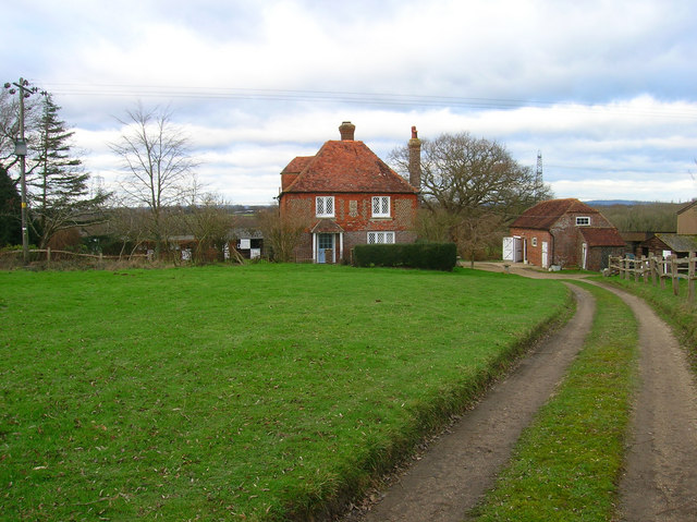
High Cross Lake is a picturesque freshwater lake located in Sussex, England. Spanning an area of approximately 10 acres, it serves as a popular destination for outdoor enthusiasts and nature lovers. The lake is surrounded by lush greenery and offers a serene and tranquil setting for visitors to unwind and connect with nature.

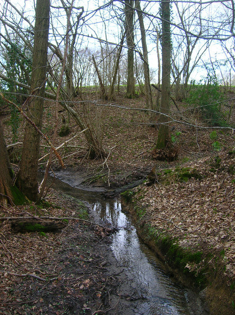
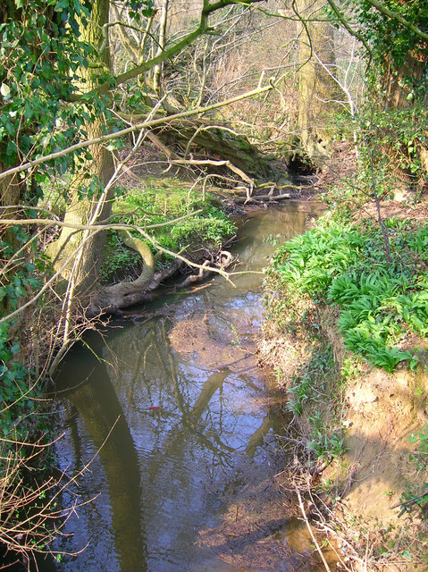
The lake itself is fed by several small streams and springs, ensuring a constant flow of fresh water. Its clear and pristine waters provide an ideal habitat for various species of fish, making it a haven for anglers. Common fish species found in High Cross Lake include trout, perch, and pike.

In addition to its recreational appeal, the lake also serves as a vital freshwater marsh, supporting a diverse ecosystem. The marshland surrounding the lake is home to a wide range of plants and wildlife, including water lilies, reeds, and various bird species. Nature enthusiasts can often spot ducks, herons, and kingfishers gracefully gliding across the water's surface or perched on the surrounding vegetation.

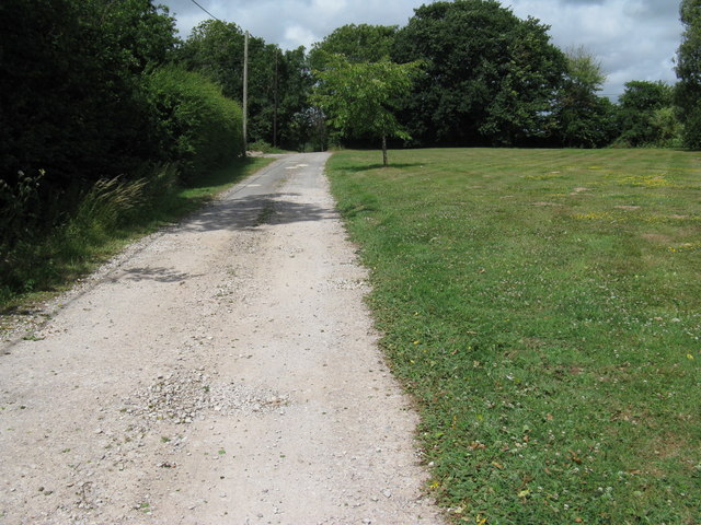
High Cross Lake offers opportunities for various water-based activities, such as boating, kayaking, and swimming. The calm and tranquil atmosphere makes it an ideal spot for those seeking a peaceful retreat or a family day out. Visitors can also enjoy picnicking on the lake's shores, taking in the scenic beauty and enjoying the gentle breeze that sweeps across the water.

Overall, High Cross Lake is a beautiful and idyllic freshwater lake, offering a range of recreational activities and serving as an important habitat for a diverse array of flora and fauna. Its natural charm and peaceful ambiance make it a must-visit destination for nature enthusiasts and those seeking a peaceful escape from the hustle and bustle of everyday life.

If you have any feedback on the listing, please let us know in the comments section below.

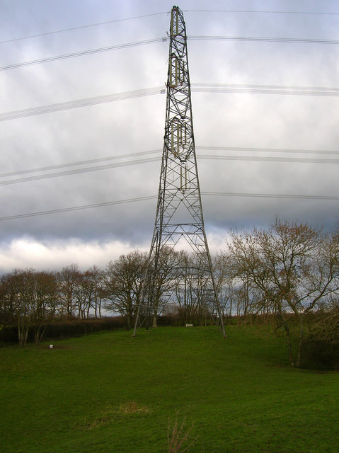
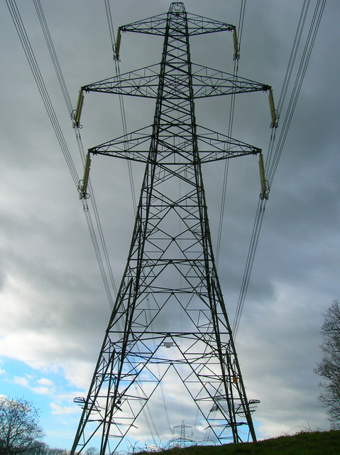
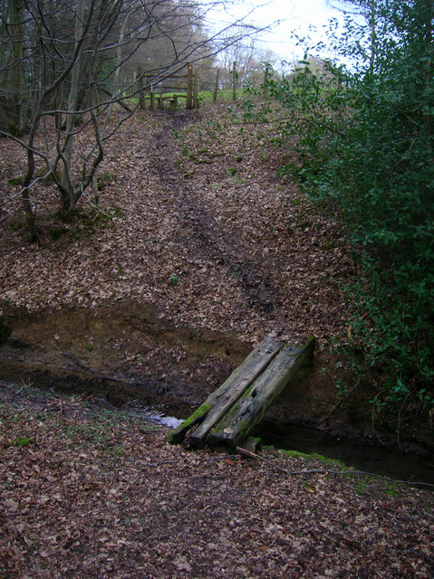
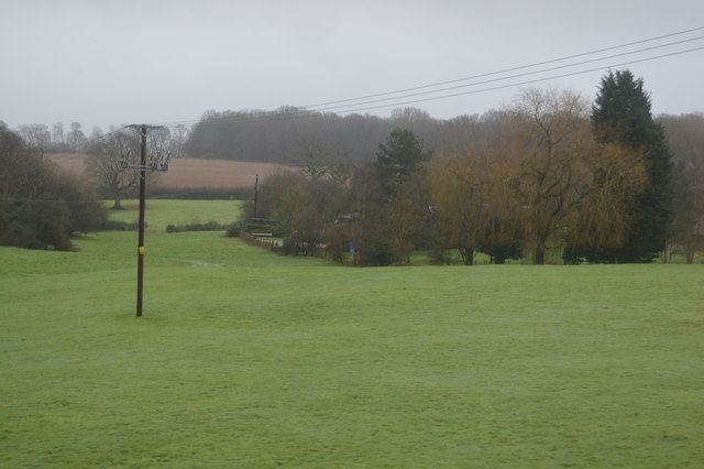
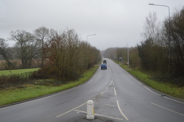
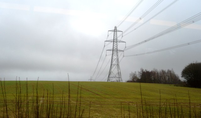
High Cross Lake Images

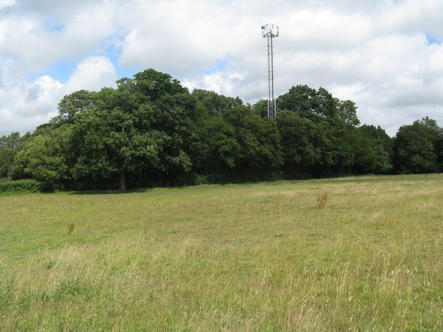
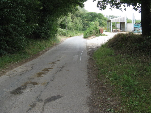
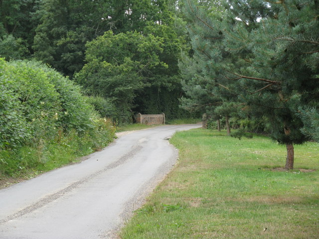
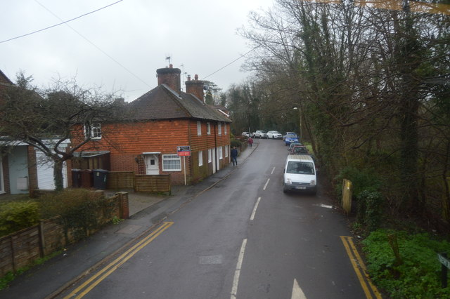
Images are sourced within 2km of 50.945685/0.11941689 or Grid Reference TQ4818. Thanks to Geograph Open Source API. All images are credited.

Stile next to Crossroads, Palehouse Common Much negotiation required to avoid wet feet if trying to escape this field. The point where the footpath from Honey's Green meets a crossroads of minor lanes. The buildings behind belong to Palehouse Common Farm.
Stile next to Crossroads, Palehouse Common
Much negotiation required to avoid wet feet if trying to escape this field. The point where the footpath from Honey's Green meets a crossroads of minor lanes. The buildings behind belong to Palehouse Common Farm.
Electricity Pylon near The Lews Taken from the footpath from Honey's Green
Electricity Pylon near The Lews
Taken from the footpath from Honey's Green
Electricity Pylons near The Lews Straight on view of <a href="https://www.geograph.org.uk/photo/323458">TQ5018 : Electricity Pylon near The Lews</a> as the iron giant and his dark black cloud bear down on a lonely geographer. Actually the picture is taken in a small dip next to a stream looking up the slope towards the pylon.
Electricity Pylons near The Lews
Straight on view of TQ5018 : Electricity Pylon near The Lews as the iron giant and his dark black cloud bear down on a lonely geographer. Actually the picture is taken in a small dip next to a stream looking up the slope towards the pylon.
Footbridge over Unnamed Stream, The Lews The stream actually carves out a small gorge here, the drop from either side of the footpath towards the footbridge is quite steep. This view looks northwards.
Footbridge over Unnamed Stream, The Lews
The stream actually carves out a small gorge here, the drop from either side of the footpath towards the footbridge is quite steep. This view looks northwards.
Two Streams Converging, The Lews Taken from the footbridge <a href="https://www.geograph.org.uk/photo/323477">TQ5017 : Footbridge over Unnamed Stream, The Lews</a> looking westwards.
Two Streams Converging, The Lews
Taken from the footbridge TQ5017 : Footbridge over Unnamed Stream, The Lews looking westwards.
Upper Honeys Green Farm The footpath follows the track then turns right next to the barn.
Upper Honeys Green Farm
The footpath follows the track then turns right next to the barn.
Framfield Stream Small tributary of the Uck that rises near Blackboys. Taken from the footbridge that carries the footpath to Palehouse Common Farm.
Framfield Stream
Small tributary of the Uck that rises near Blackboys. Taken from the footbridge that carries the footpath to Palehouse Common Farm.
Honey's Green caravan park on the B2192
Footpath approach to Lower Honeys Green Farm
Communications Mast on the edge of The Bungers
Arches Farm by Pump Lane
Bridge carrying Pump Lane over Framfield Stream
New Rd
New Rd
Trees, Horsted Pond Farm
A22, looking south The A22 is one of the  major roads in the south east of England. It carries traffic from London to Eastbourne on the East Sussex coast. The route goes through Purley, East Grinstead, Forest Row, Hailsham and Polegate. A distance of 48 miles.
<span class="nowrap"><a title="http://www.sabre-roads.org.uk/wiki/index.php?title=B2104" rel="nofollow ugc noopener" href="http://www.sabre-roads.org.uk/wiki/index.php?title=B2104">Link</a><img style="margin-left:2px;" alt="External link" title="External link - shift click to open in new window" src="https://s1.geograph.org.uk/img/external.png" width="10" height="10"/></span>
A22, looking south
The A22 is one of the major roads in the south east of England. It carries traffic from London to Eastbourne on the East Sussex coast. The route goes through Purley, East Grinstead, Forest Row, Hailsham and Polegate. A distance of 48 miles. LinkExternal link
Pylon, Little Horsted
Church of St michael & All Angels Most of the church dates from a rebuild in 1863, however some wall arches of the north wall of the chancel are 12th Century, containing 2 small round-headed windows. 
The tall tower is 15th C. and the turret was raised and given a conical top in 1863, when Sir George Gilbert Scott oversaw the rebuilding with 14th C details.
There is an interesting tomb slab of about 1500 in a recess in the chancel, said to be a member of the Delves family, Yeomen in the parish. However it has also been claimed to belong to William Dean, Knight. Currently it is blocked by pews and furniture.
Church of St michael & All Angels
Most of the church dates from a rebuild in 1863, however some wall arches of the north wall of the chancel are 12th Century, containing 2 small round-headed windows. The tall tower is 15th C. and the turret was raised and given a conical top in 1863, when Sir George Gilbert Scott oversaw the rebuilding with 14th C details. There is an interesting tomb slab of about 1500 in a recess in the chancel, said to be a member of the Delves family, Yeomen in the parish. However it has also been claimed to belong to William Dean, Knight. Currently it is blocked by pews and furniture.
Roundabout on the A22, Little Horsted
Show me another place!

High Cross Lake is located at Grid Ref: TQ4818 (Lat: 50.945685, Lng: 0.11941689)

Administrative County: East Sussex

District: Wealden

Police Authority: Sussex

What 3 Words

///wobbles.acted.stadium. Near Uckfield, East Sussex

Related Wikis

East Sussex National Golf Club

East Sussex National Golf Club is a golf course located near to Uckfield in East Sussex. It is considered one of the finer golf courses in the British...

Framfield

Framfield is a village and civil parish in the Wealden District of East Sussex, England. The village is located two miles (3 km) east of Uckfield; the...

Bentley Wood, East Sussex

Bentley Wood, also known as the House at Halland, is a Modernist house designed by the Russian émigré architect Serge Chermayeff and built in a rural location...

Ridgewood, East Sussex

Ridgewood is a suburb and voting ward 1 mile south of Uckfield in East Sussex, England. It is inland between the seaside towns of Eastbourne (20 mi (32...

Nearby Amenities

Located within 500m of 50.945685,0.11941689
Power: tower
Lat/Long: 50.9429256/0.1150744
Power: tower
Lat/Long: 50.9428799/0.1211916
Barrier: stile
Lat/Long: 50.94561/0.1253037
High Cross Farm
Place: farm
Source Name: OS OpenData StreetView
Lat/Long: 50.9446687/0.1138144
High Cross
Place: locality
Lat/Long: 50.9488498/0.1228559
Barrier: stile
Lat/Long: 50.9431828/0.124196
Barrier: stile
Lat/Long: 50.9466179/0.1251454
Bus Stop
Boarding Kennels
Naptan AtcoCode: 1400WE10123
Naptan NaptanCode: esudjdag
Public Transport: platform
Lat/Long: 50.9433271/0.1175715
Bus Stop
Boarding Kennels
Naptan AtcoCode: 1400WE10124
Naptan NaptanCode: esudjdaj
Public Transport: platform
Lat/Long: 50.94323/0.1177171
Bus Stop
Framfield Turn
Naptan AtcoCode: 1400WE10125
Naptan NaptanCode: esudjdam
Public Transport: platform
Lat/Long: 50.948131/0.1188516
Bus Stop
Framfield Turn
Public Transport: platform
Lat/Long: 50.9485437/0.1191384
The data included in this document is from www.openstreetmap.org. The data is made available under ODbL.

Have you been to High Cross Lake?

Leave your review of High Cross Lake below (or comments, questions and feedback).