Nine Acre Wood

Wood, Forest in Sussex Wealden

England

Nine Acre Wood

Sand Hill Lane
Sand Hill Lane Credit: N Chadwick

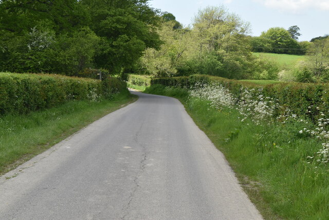
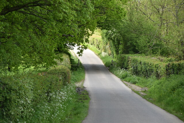
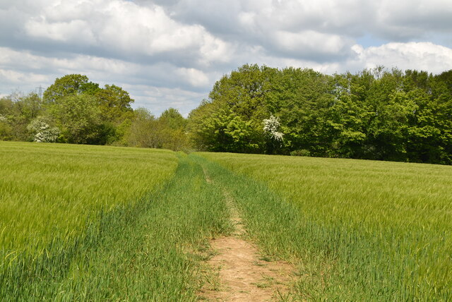
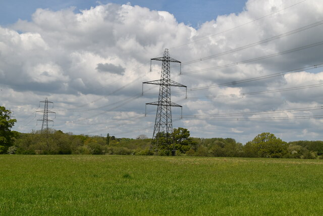
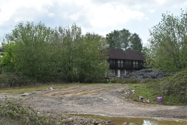
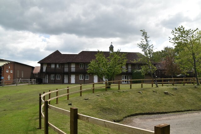
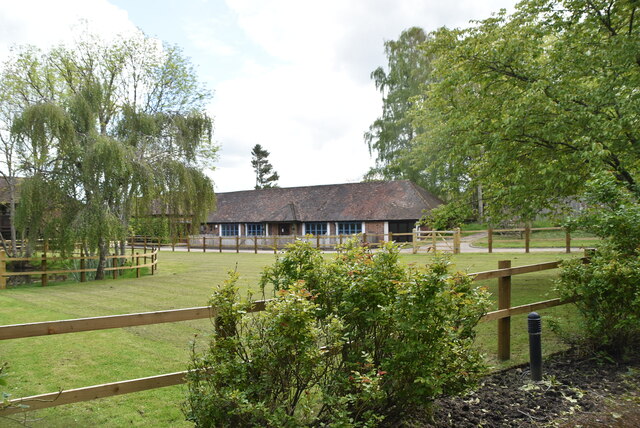
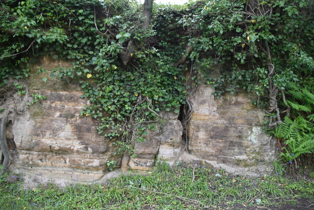
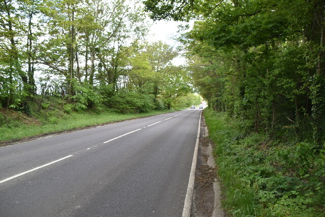
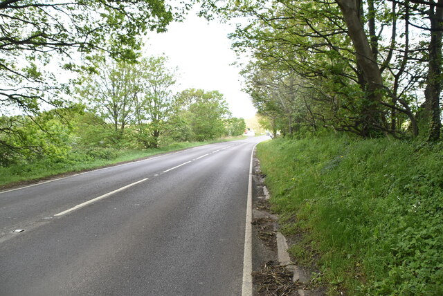
Nine Acre Wood, located in Sussex, England, is a picturesque and serene forest spanning approximately nine acres. The wood is known for its rich biodiversity and scenic beauty, making it a popular destination for nature enthusiasts and hikers alike.

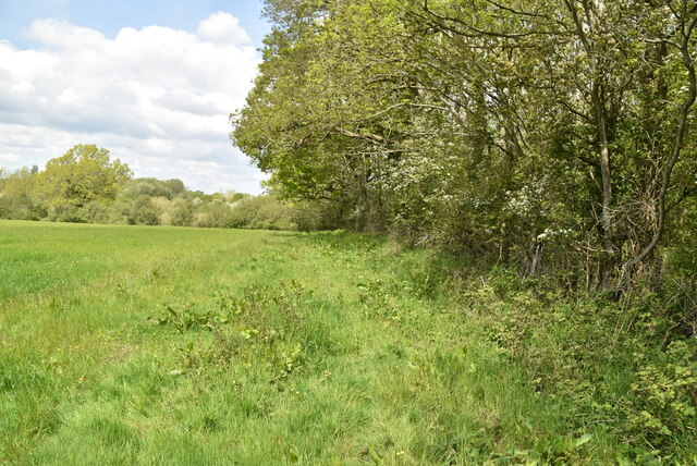
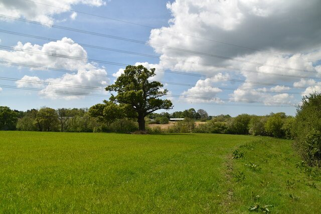
The woodland is predominantly composed of mature oak and beech trees, which provide a dense canopy that filters sunlight and creates a cool and tranquil atmosphere. The forest floor is carpeted with a diverse range of wildflowers, mosses, and ferns, adding to the wood's enchanting charm.

Nine Acre Wood is home to a variety of wildlife, including deer, foxes, badgers, and numerous bird species. The dense vegetation and abundant food sources make it an ideal habitat for these animals. Nature lovers can often spot them while strolling along the peaceful woodland trails.

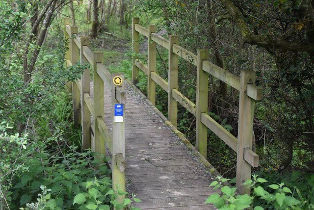
The wood offers several well-maintained walking paths, allowing visitors to explore and appreciate its natural beauty. These trails wind through the forest, offering glimpses of small streams and ponds that further enhance the wood's allure. Additionally, there are designated picnic areas and benches scattered throughout the wood, providing visitors with the opportunity to relax and enjoy a meal surrounded by nature.

Nine Acre Wood is managed by local conservation authorities, who work diligently to preserve its ecological integrity and protect its inhabitants. They also organize educational activities and events, such as guided walks and wildlife spotting sessions, to raise awareness about the importance of preserving the wood's natural heritage.

In summary, Nine Acre Wood in Sussex is a captivating forest with its diverse flora and fauna, scenic trails, and tranquil ambiance. It offers a haven for nature enthusiasts to immerse themselves in the beauty of the natural world.

If you have any feedback on the listing, please let us know in the comments section below.

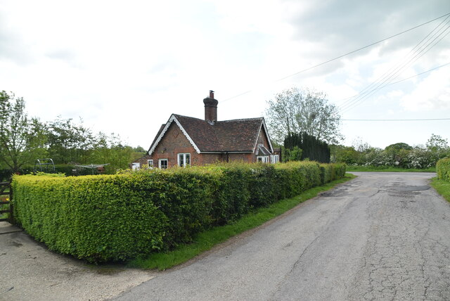
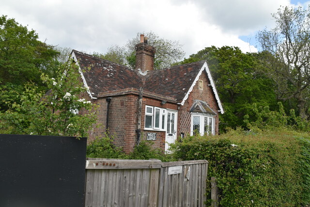
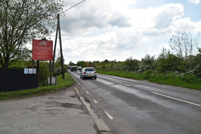
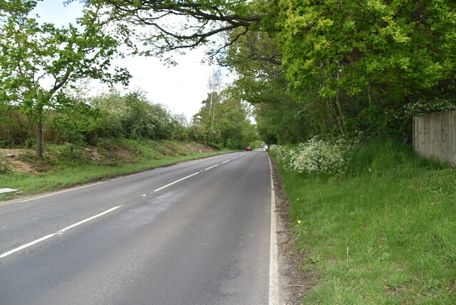
Nine Acre Wood Images

Images are sourced within 2km of 50.946045/0.10898384 or Grid Reference TQ4818. Thanks to Geograph Open Source API. All images are credited.

Sand Hill Lane
Sand Hill Lane
Sand Hill Lane
Sand Hill Lane
Footpath in wheat field
Arable field and pylon
Woodland, field boundary
Sussex farmland
Sussex farmland
Footbridge
Footbridge
Approaching Crockstead Farm Hotel
Crockstead Farm Hotel
Sandstone cliff
Sandstone cliff
East Lodge, Crockstead Farm Hotel
West Lodge, Crockstead Farm Hotel
A22 The A22 is one of the  major roads in the south east of England. It carries traffic from London to Eastbourne on the East Sussex coast. The route goes through Purley, East Grinstead, Forest Row, Hailsham and Polegate. A distance of 48 miles.
<span class="nowrap"><a title="http://www.sabre-roads.org.uk/wiki/index.php?title=B2104" rel="nofollow ugc noopener" href="http://www.sabre-roads.org.uk/wiki/index.php?title=B2104">Link</a><img style="margin-left:2px;" alt="External link" title="External link - shift click to open in new window" src="https://s1.geograph.org.uk/img/external.png" width="10" height="10"/></span>
A22
The A22 is one of the major roads in the south east of England. It carries traffic from London to Eastbourne on the East Sussex coast. The route goes through Purley, East Grinstead, Forest Row, Hailsham and Polegate. A distance of 48 miles. LinkExternal link
A22, looking north west The A22 is one of the  major roads in the south east of England. It carries traffic from London to Eastbourne on the East Sussex coast. The route goes through Purley, East Grinstead, Forest Row, Hailsham and Polegate. A distance of 48 miles.
<span class="nowrap"><a title="http://www.sabre-roads.org.uk/wiki/index.php?title=B2104" rel="nofollow ugc noopener" href="http://www.sabre-roads.org.uk/wiki/index.php?title=B2104">Link</a><img style="margin-left:2px;" alt="External link" title="External link - shift click to open in new window" src="https://s1.geograph.org.uk/img/external.png" width="10" height="10"/></span>
A22, looking north west
The A22 is one of the major roads in the south east of England. It carries traffic from London to Eastbourne on the East Sussex coast. The route goes through Purley, East Grinstead, Forest Row, Hailsham and Polegate. A distance of 48 miles. LinkExternal link
Quiet A22 The A22 is one of the  major roads in the south east of England. It carries traffic from London to Eastbourne on the East Sussex coast. The route goes through Purley, East Grinstead, Forest Row, Hailsham and Polegate. A distance of 48 miles.
<span class="nowrap"><a title="http://www.sabre-roads.org.uk/wiki/index.php?title=B2104" rel="nofollow ugc noopener" href="http://www.sabre-roads.org.uk/wiki/index.php?title=B2104">Link</a><img style="margin-left:2px;" alt="External link" title="External link - shift click to open in new window" src="https://s1.geograph.org.uk/img/external.png" width="10" height="10"/></span>
Quiet A22
The A22 is one of the major roads in the south east of England. It carries traffic from London to Eastbourne on the East Sussex coast. The route goes through Purley, East Grinstead, Forest Row, Hailsham and Polegate. A distance of 48 miles. LinkExternal link
Show me another place!

Nine Acre Wood is located at Grid Ref: TQ4818 (Lat: 50.946045, Lng: 0.10898384)

Administrative County: East Sussex

District: Wealden

Police Authority: Sussex

What 3 Words

///ahead.deferring.harps. Near Uckfield, East Sussex

Related Wikis

East Sussex National Golf Club

East Sussex National Golf Club is a golf course located near to Uckfield in East Sussex. It is considered one of the finer golf courses in the British...

Horsted Place

Horsted Place is a Tudor Revival country house, now a hotel, in Little Horsted, East Sussex, England. The current building dates to 1850, when it was built...

Little Horsted

Little Horsted (also known as Horsted Parva) is a village and civil parish in the Wealden district of East Sussex, England. It is located two miles (3...

Framfield

Framfield is a village and civil parish in the Wealden District of East Sussex, England. The village is located two miles (3 km) east of Uckfield; the...

Uckfield Town F.C.

Uckfield Town F.C. was a football club based in Uckfield, East Sussex, England. For their final season, 2013–14, they were members of the Sussex County...

Bentley Wildfowl and Motor Museum

The Bentley Wildfowl and Motor Museum was a visitor attraction near Halland, East Sussex, England. As of October 2018, it is closed to the public. ��2...

Hempstead Meadow

Hempstead Meadow is a 1.6-hectare (4.0-acre) Local Nature Reserve in Uckfield in East Sussex. It is owned and managed by Uckfield Town Council.The site...

Uckfield railway station

Uckfield railway station is the southern terminus of a branch of the Oxted Line in England, serving the town of Uckfield, East Sussex. It is 46 miles 8...

Nearby Amenities

Located within 500m of 50.946045,0.10898384
Power: tower
Lat/Long: 50.9430949/0.1100507
Power: tower
Lat/Long: 50.9446864/0.1059666
Material: wood
Power: pole
Lat/Long: 50.942608/0.1123818
Material: wood
Power: pole
Lat/Long: 50.9433351/0.1110204
Material: wood
Power: pole
Lat/Long: 50.9439052/0.110008
Material: wood
Power: pole
Lat/Long: 50.9444786/0.108976
Material: wood
Power: pole
Lat/Long: 50.9452861/0.1095043
Material: wood
Power: pole
Lat/Long: 50.9464083/0.1102693
Material: wood
Power: pole
Lat/Long: 50.9473008/0.1102514
Material: wood
Power: pole
Lat/Long: 50.9483533/0.1102424
Material: wood
Power: pole
Lat/Long: 50.9494002/0.1102481
High Cross Farm
Place: farm
Source Name: OS OpenData StreetView
Lat/Long: 50.9446687/0.1138144
1st
Golf: pin
Lat/Long: 50.9454836/0.1019014
The data included in this document is from www.openstreetmap.org. The data is made available under ODbL.

Have you been to Nine Acre Wood?

Leave your review of Nine Acre Wood below (or comments, questions and feedback).