Kynaston Wood

Wood, Forest in Kent

England

Kynaston Wood

View over Bourne Wood As seen from a footpath on a hill, near Crockenhill.

Looking across Bourne Wood towards St.Paul Cray. 

In the far background is the office towers of Canary Phone.
View over Bourne Wood Credit: David Anstiss

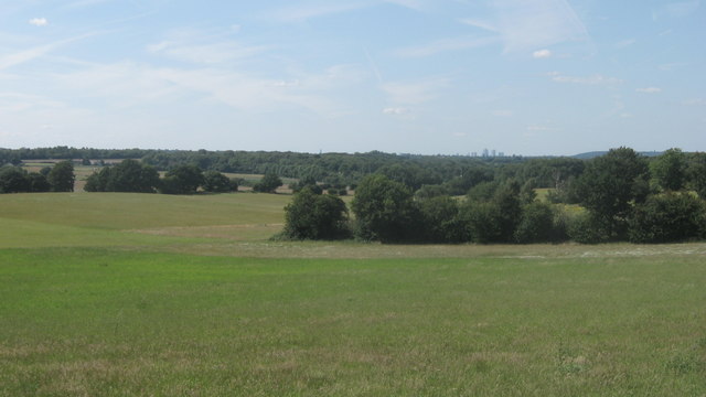
Kynaston Wood is a small wooded area located in the county of Kent, England. Situated near the village of Wood, the forest covers an area of approximately 100 acres and is known for its diverse range of flora and fauna.

The wood is predominantly composed of broadleaf trees, including oak, beech, and ash, which create a dense canopy and provide a habitat for a variety of woodland creatures. The forest floor is carpeted with bluebells and other wildflowers during the springtime, creating a picturesque scene for visitors.

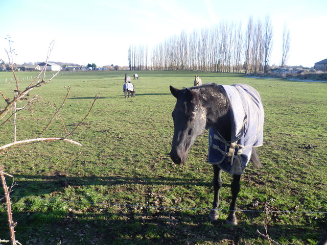
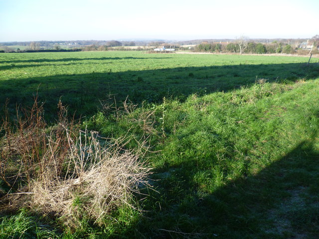
Kynaston Wood is popular with nature enthusiasts and walkers who enjoy exploring its many trails and footpaths. The forest offers a peaceful and tranquil setting, making it an ideal location for those seeking solitude and a connection with nature.

In addition to its natural beauty, the wood also holds historical significance. It is believed to have been an ancient hunting ground for nobles and aristocrats in medieval times. Archaeological evidence, such as the remains of a hunting lodge, have been discovered in the area, providing a glimpse into the region's rich past.

The wood is easily accessible by car or on foot, with ample parking available nearby. Visitors are advised to follow the designated paths and respect the environment by taking their litter with them.

Overall, Kynaston Wood is a charming and serene woodland area, offering a haven for wildlife and a peaceful retreat for visitors seeking to immerse themselves in nature.

If you have any feedback on the listing, please let us know in the comments section below.

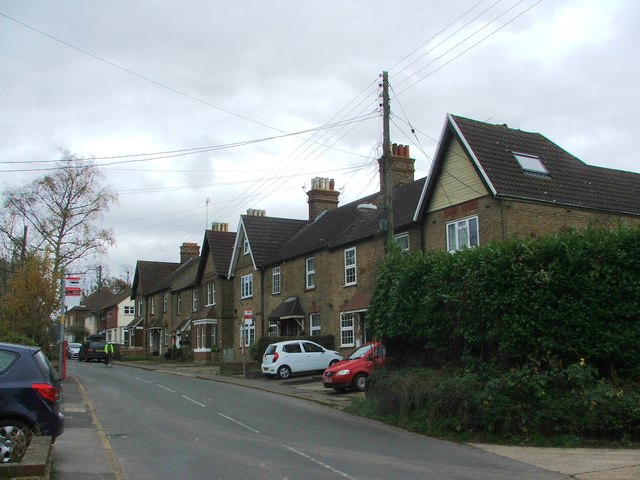
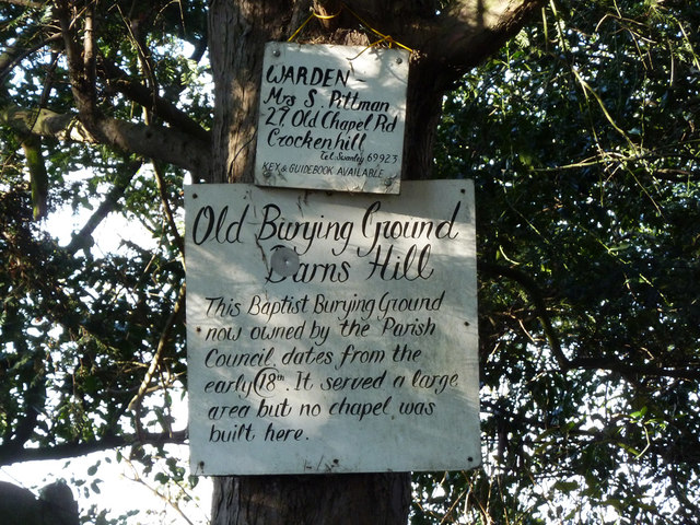
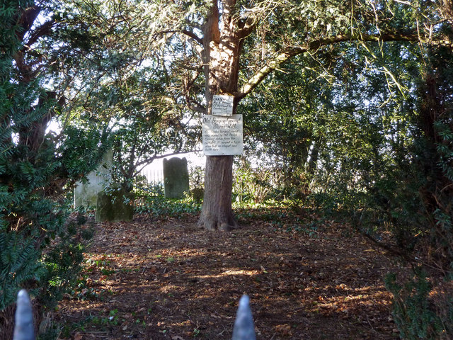
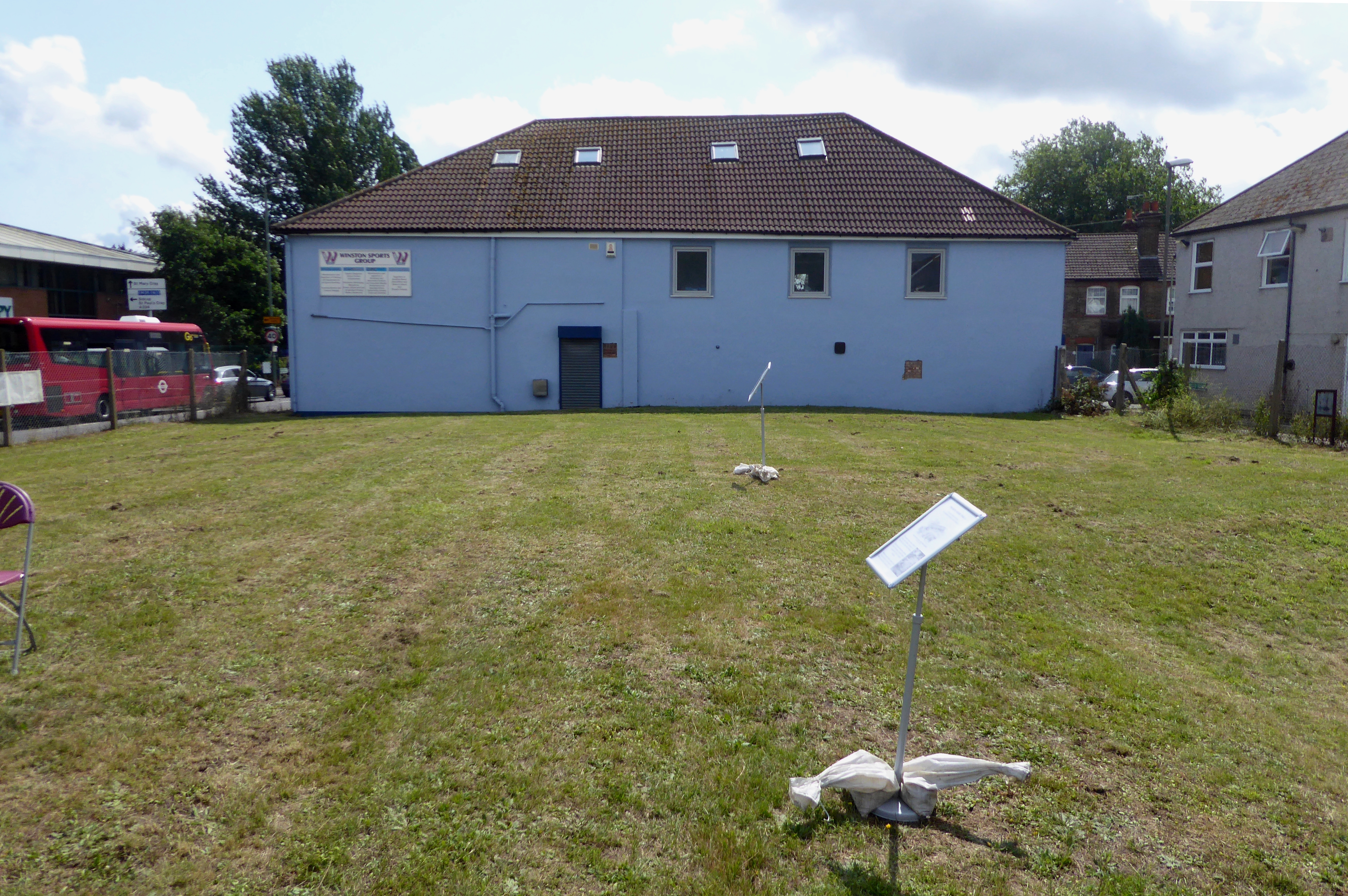
Kynaston Wood Images

Images are sourced within 2km of 51.384595/0.12874016 or Grid Reference TQ4867. Thanks to Geograph Open Source API. All images are credited.

View over Bourne Wood As seen from a footpath on a hill, near Crockenhill.

Looking across Bourne Wood towards St.Paul Cray. 

In the far background is the office towers of Canary Phone.
View over Bourne Wood
As seen from a footpath on a hill, near Crockenhill. Looking across Bourne Wood towards St.Paul Cray. In the far background is the office towers of Canary Phone.
Horse near Darns Hill This horse is in a field off Darns Hill, just beyond the southern edge of Crockenhill.
Horse near Darns Hill
This horse is in a field off Darns Hill, just beyond the southern edge of Crockenhill.
View from Darns Hill Traces of a heavy frost from the previous night were still evident on the ground. This view from Darns Hill, a lane to the south-east of Crockenhill, looks towards London. The distant ridge on the horizon in the centre of the photograph is Shooters Hill.
View from Darns Hill
Traces of a heavy frost from the previous night were still evident on the ground. This view from Darns Hill, a lane to the south-east of Crockenhill, looks towards London. The distant ridge on the horizon in the centre of the photograph is Shooters Hill.
Sounds Lodge, Crockenhill A modern neo-Georgian estate probably from the 1970s or so
Sounds Lodge, Crockenhill
A modern neo-Georgian estate probably from the 1970s or so
Tylers Green Road, Crockenhill
Cray Road, Crockenhill
Bransell Close, Crockenhill
Cray Road, Crockenhill
Cray Road Late Victorian cottages on Cray Road.  In the foreground are nos. 36-41 and in the background is Woodlands Terrace.
Cray Road
Late Victorian cottages on Cray Road. In the foreground are nos. 36-41 and in the background is Woodlands Terrace.
Pear Tree Cottages Pair of 18th Century cottages on Cray Road (although the near extension is 20th Century).  Grade II listed - see <span class="nowrap"><a title="www.historicengland.org.uk/listing/the-list/list-entry/1217153" rel="nofollow ugc noopener" href="http://www.historicengland.org.uk/listing/the-list/list-entry/1217153">Link</a><img style="margin-left:2px;" alt="External link" title="External link - shift click to open in new window" src="https://s1.geograph.org.uk/img/external.png" width="10" height="10"/></span>.
Pear Tree Cottages
Pair of 18th Century cottages on Cray Road (although the near extension is 20th Century). Grade II listed - see LinkExternal link.
Darns Hill Cottages Pair of semi-detached cottages on Darns Hill.
Darns Hill Cottages
Pair of semi-detached cottages on Darns Hill.
Footpath near Crockenhill
Yard with covered traction engines Abandoned-looking yard with rubbish and traction engines.
Yard with covered traction engines
Abandoned-looking yard with rubbish and traction engines.
Field with London skyline The tall buildings around Canary Wharf in London Docklands are visible above the trees in the centre of the image.
Field with London skyline
The tall buildings around Canary Wharf in London Docklands are visible above the trees in the centre of the image.
Signs in Darns Hill Old Baptist Burial Ground A small area, heavily wooded now, established in the late 17th century, despite what the sign says. The first burial of which there is a record was in 1698, the reference implying that the burial ground was established by then.
Signs in Darns Hill Old Baptist Burial Ground
A small area, heavily wooded now, established in the late 17th century, despite what the sign says. The first burial of which there is a record was in 1698, the reference implying that the burial ground was established by then.
Darns Hill Old Baptist Burial Ground A small area, heavily wooded now. Established in the late 17th century. For a closer view of the signs, see <a href="https://www.geograph.org.uk/photo/6296452">TQ5066 : Signs in Darns Hill Old Baptist Burial Ground</a>.
Darns Hill Old Baptist Burial Ground
A small area, heavily wooded now. Established in the late 17th century. For a closer view of the signs, see TQ5066 : Signs in Darns Hill Old Baptist Burial Ground.
Farm buildings and equipment South of Crockenhill.
Farm buildings and equipment
South of Crockenhill.
Telecom mast
Telecom mast
Show me another place!

Kynaston Wood is located at Grid Ref: TQ4867 (Lat: 51.384595, Lng: 0.12874016)

Unitary Authority: Bromley

Police Authority: Metropolitan

What 3 Words

///change.fast.wipe. Near Orpington, London

Related Wikis

Kevington, London

Kevington, sometimes spelt Kevingtown, is a rural hamlet in South East London, England, within the London Borough of Bromley. It is located north east...

Derry Downs

Derry Downs is an area of south-east London, England, within the London Borough of Bromley and, prior to 1965, in the historic county of Kent. It is located...

The Warren, Bromley

The Warren is a 13.5-hectare (33-acre) nature reserve in St Mary Cray in the London Borough of Bromley. It is a Site of Borough Importance for Nature Conservation...

Harris Academy Orpington

Harris Academy Orpington (formerly The Priory School) is a non-selective secondary school and sixth form with academy status in Orpington in the London...

Ramsden, Orpington

Ramsden is an area in south-east London, generally considered a suburb of Orpington, located in the London Borough of Bromley and, prior to 1965, within...

Fordcroft Anglo-Saxon cemetery

Fordcroft Anglo-Saxon cemetery was a place of burial. It is located in the town of Orpington in South East London, South-East England. Belonging to the...

St Mary Cray

St Mary Cray is an area of South East London, England, within the London Borough of Bromley. Historically it was a market town in the county of Kent. It...

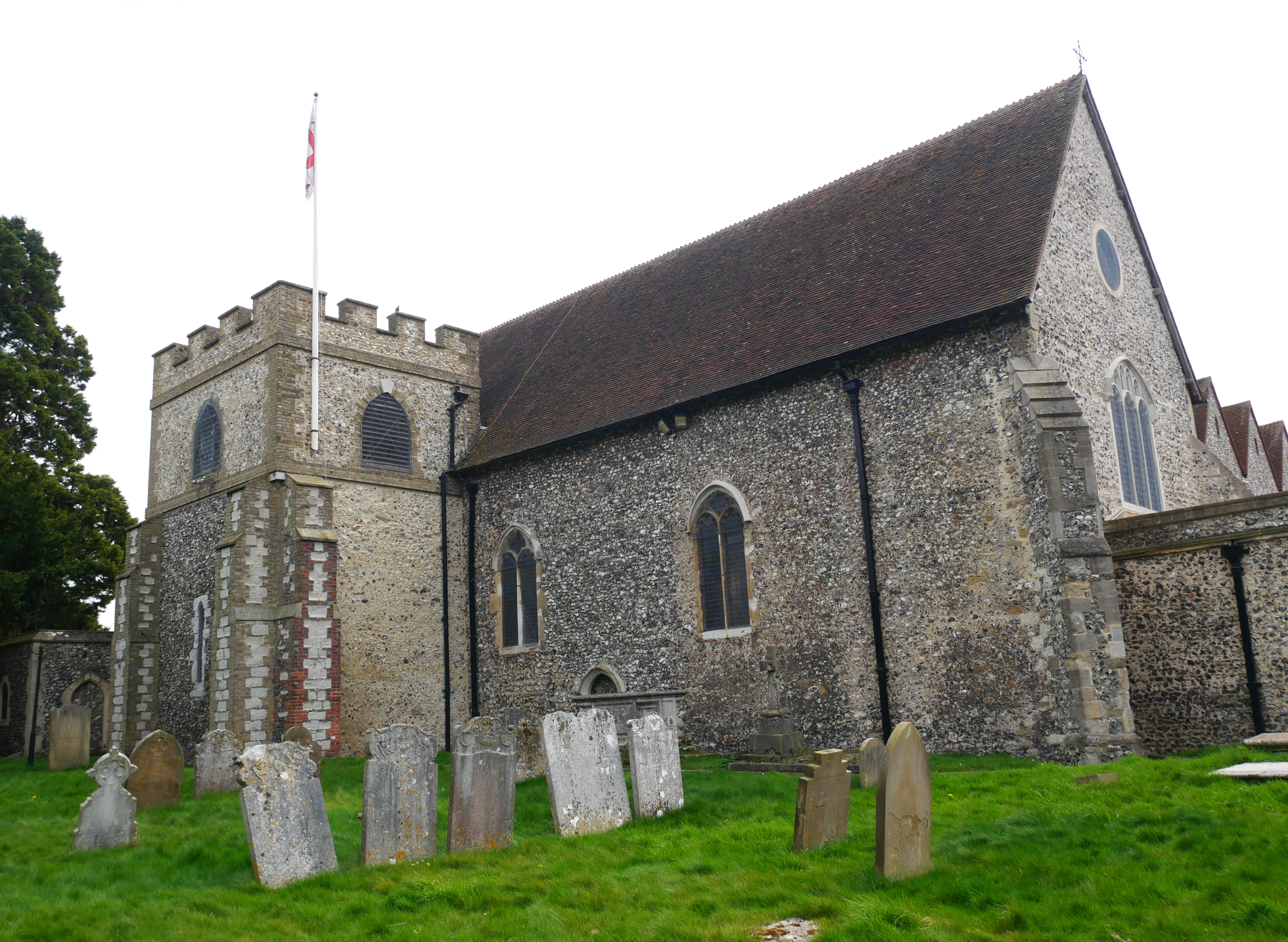
Church of All Saints, Orpington

The Church of All Saints is a Grade II* listed church in Orpington, Bromley, London. == History == The old part of the church dates back to the Anglo-Saxon...

Related Videos

Bank Holiday Update from Nuts to the Walnuts

latest update from Steve and Tim, on behalf of the NTTW Campaign To raise an objection please visit tinyurl.com/4pepejuh.

āĻ˛āĻŖā§āĻĄāĻ¨ā§‡āĻ° āĻ…āĻ°āĻĢāĻŋāĻ‚āĻŸāĻ¨ āĻˇā§āĻŸā§‡āĻļāĻ¨ #shorts #shortvideo #shortsfeed #travel #london #uk

āĻ˛āĻŖā§āĻĄāĻ¨ā§‡āĻ° āĻ…āĻ°āĻĢāĻŋāĻ‚āĻŸāĻ¨ āĻˇā§āĻŸā§‡āĻļāĻ¨ #shorts #shortvideo #shortsfeed #travel #london #uk.

Nearby Amenities

Located within 500m of 51.384595,0.12874016
Bus Stop
Hail & Ride Cockmanning Road
Naptan AtcoCode: 490000278E
Naptan Bearing: E
Naptan CommonName: Waldenhurst road
Naptan Verified: no
Physically Present: no
Public Transport: platform
Lat/Long: 51.3812456/0.1248941
Bus Stop
Hail & Ride Waldenhurst Road
Naptan AtcoCode: 490000278N
Naptan Bearing: N
Naptan CommonName: Waldenhurst road
Naptan Street: WALDENHURST ROAD
Naptan Verified: no
Physically Present: no
Public Transport: platform
Lat/Long: 51.3806731/0.1252728
Bus Stop
Hail & Ride Derry Downs
Naptan AtcoCode: 490000279W
Naptan Bearing: W
Naptan CommonName: Derry Downs
Naptan Verified: no
Physically Present: no
Public Transport: platform
Lat/Long: 51.3819828/0.1231701
Bus Stop
Waldens Road
Bench: no
Bin: no
Lit: yes
Naptan AtcoCode: 490014124E
Naptan Bearing: E
Naptan CommonName: Waldens Road
Naptan Street: CROCKENHILL ROAD
Passenger Information Display: no
Public Transport: platform
Shelter: no
Tactile Paving: no
Lat/Long: 51.3869213/0.1316113
Barrier: stile
Lat/Long: 51.384331/0.1308397
Barrier: stile
Bicycle: no
Foot: yes
Material: wood
Stile: stepover
Lat/Long: 51.3811936/0.1310833
Barrier: stile
Bicycle: no
Foot: yes
Material: wood
Stile: stepover
Lat/Long: 51.3816839/0.1309432
Barrier: stile
Bicycle: no
Foot: yes
Material: wood
Stile: stepover
Lat/Long: 51.3819991/0.130695
Barrier: stile
Bicycle: no
Foot: yes
Material: wood
Stile: stepover
Lat/Long: 51.3821631/0.1302219
Barrier: stile
Bicycle: no
Foot: yes
Material: wood
Stile: stepover
Lat/Long: 51.3842038/0.1308262
Barrier: kissing_gate
Bicycle: no
Foot: yes
Material: metal
Lat/Long: 51.3805493/0.1286815
Barrier: stile
Bicycle: no
Foot: yes
Material: wood
Stile: stepover
Lat/Long: 51.3829025/0.1316951
Barrier: stile
Bicycle: no
Foot: yes
Material: wood
Stile: stepover
Lat/Long: 51.3833132/0.1320071
Barrier: stile
Bicycle: no
Foot: yes
Material: wood
Stile: stepover
Lat/Long: 51.3835411/0.1322088
Kevingtown
Place: hamlet
Lat/Long: 51.3871173/0.1318195
Cockmannings
Place: hamlet
Lat/Long: 51.3804335/0.1281931
Post Box
Collection Times: Mo-Fr 16:15; Sa 11:30
Operator: Royal Mail
Operator Wikidata: Q638098
Post Box Type: lamp
Ref: BR5 144
Royal Cypher: EIIR
Royal Cypher Wikidata: Q33102113
Lat/Long: 51.3869013/0.1317512
Bus Stop
Waldens Road
Bench: no
Bin: no
Naptan AtcoCode: 490014124W
Naptan Bearing: W
Naptan CommonName: Waldens Road
Naptan Street: CROCKENHILL ROAD
Network: London Buses
Passenger Information Display: no
Public Transport: platform
Ref: F005
Shelter: no
Tactile Paving: no
Lat/Long: 51.3868658/0.1316356
The data included in this document is from www.openstreetmap.org. The data is made available under ODbL.

Have you been to Kynaston Wood?

Leave your review of Kynaston Wood below (or comments, questions and feedback).