The Warren
Wood, Forest in Kent
England
The Warren
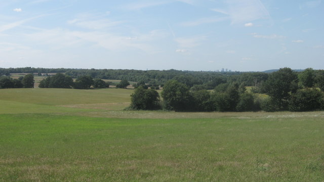
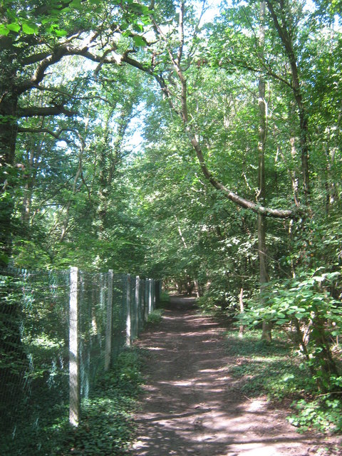
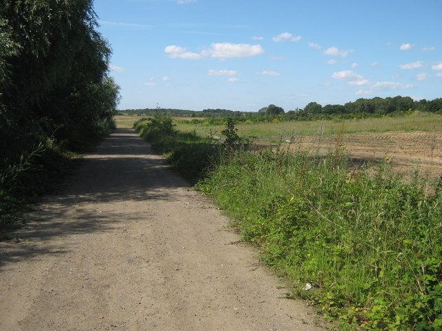
The Warren, Kent, located in the southeastern region of England, is a beautiful woodland area renowned for its abundance of trees and captivating scenery. Nestled within the heart of the county of Kent, this enchanting forest is a popular destination for nature enthusiasts and outdoor adventurers alike.
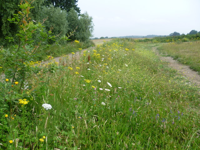
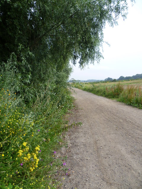
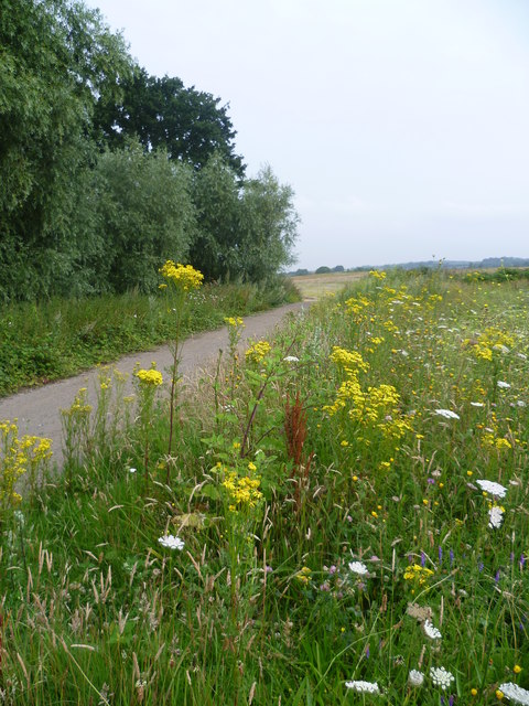
Stretching across a vast area, The Warren is characterized by its dense cover of predominantly deciduous trees such as oak, beech, and birch. These towering giants provide a natural canopy, creating a sense of tranquility and seclusion within the woodland. As visitors delve deeper into the forest, they are greeted by an array of flora and fauna, including vibrant wildflowers, ferns, and a diverse range of bird species.
The Warren offers a variety of walking trails, which cater to all levels of fitness and interests. From leisurely strolls to more challenging hikes, visitors can explore the forest at their own pace. Each trail presents an opportunity to discover hidden gems, such as ancient ruins, babbling brooks, and breathtaking viewpoints that offer sweeping vistas of the surrounding countryside.
For those seeking a more immersive experience, The Warren also provides camping facilities, allowing visitors to spend a night under the stars. The peaceful ambiance of the forest combined with the soothing sounds of nature make for a truly unforgettable camping experience.
Overall, The Warren, Kent, is a captivating woodland retreat that offers a sanctuary away from the hustle and bustle of everyday life. Its natural beauty, diverse wildlife, and array of recreational activities make it an ideal destination for anyone seeking solace and connection with nature.
If you have any feedback on the listing, please let us know in the comments section below.
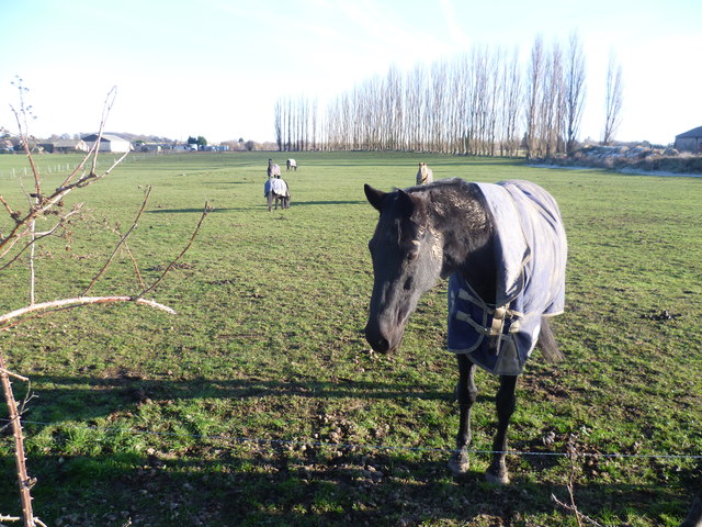
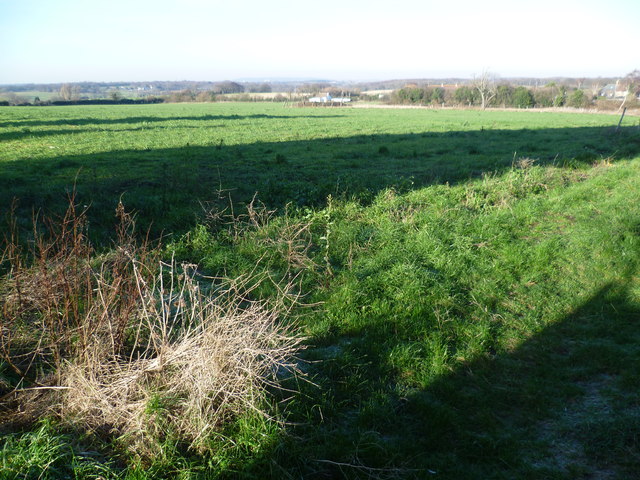
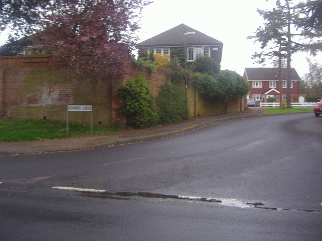
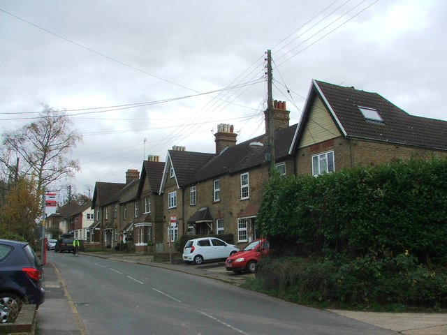
The Warren Images
Images are sourced within 2km of 51.38928/0.13173171 or Grid Reference TQ4867. Thanks to Geograph Open Source API. All images are credited.


The Warren is located at Grid Ref: TQ4867 (Lat: 51.38928, Lng: 0.13173171)
Unitary Authority: Bromley
Police Authority: Metropolitan
What 3 Words
///expand.stone.manage. Near Swanley, Kent
Nearby Locations
Related Wikis

Kevington, London
Kevington, sometimes spelt Kevingtown, is a rural hamlet in South East London, England, within the London Borough of Bromley. It is located north east...

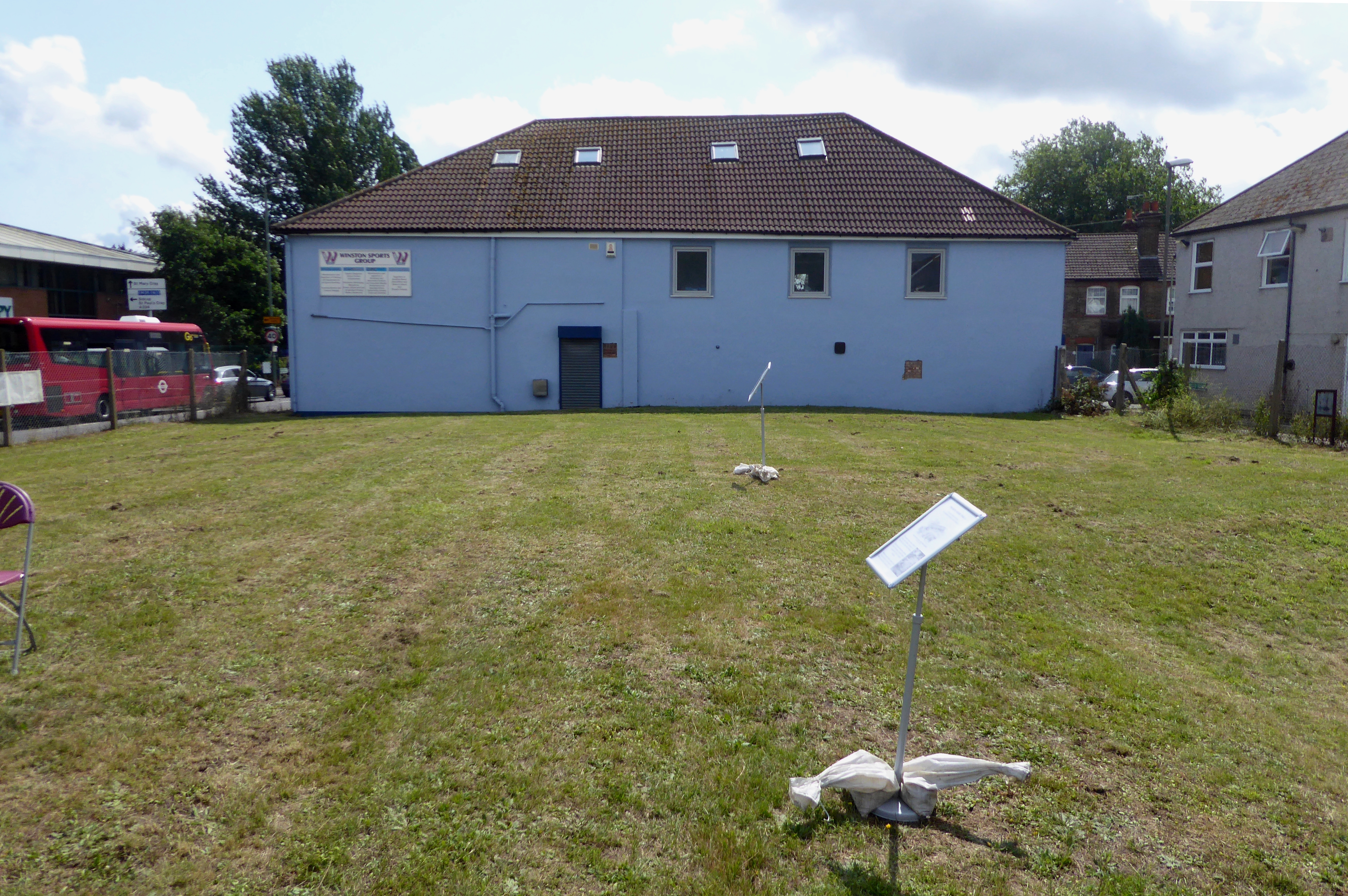
The Warren, Bromley
The Warren is a 13.5-hectare (33-acre) nature reserve in St Mary Cray in the London Borough of Bromley. It is a Site of Borough Importance for Nature Conservation...

Derry Downs
Derry Downs is an area of south-east London, England, within the London Borough of Bromley and, prior to 1965, in the historic county of Kent. It is located...
Orpington Urban District
Orpington was an English local government district in northwest Kent from 1934 to 1965 around the town of Orpington. It was a suburb of London and formed...

St Mary Cray
St Mary Cray is an area of South East London, England, within the London Borough of Bromley. Historically it was a market town in the county of Kent. It...
Fordcroft Anglo-Saxon cemetery
Fordcroft Anglo-Saxon cemetery was a place of burial. It is located in the town of Orpington in South East London, South-East England. Belonging to the...

The Bull, St Paul's Cray
The Bull is a pub on Main Road, St Paul's Cray, London Borough of Bromley. It is a Grade II listed building, dating back to the 18th century. == References... ==
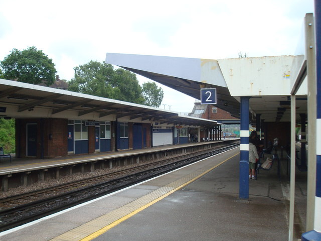
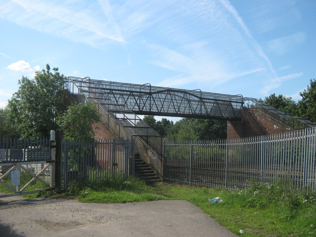
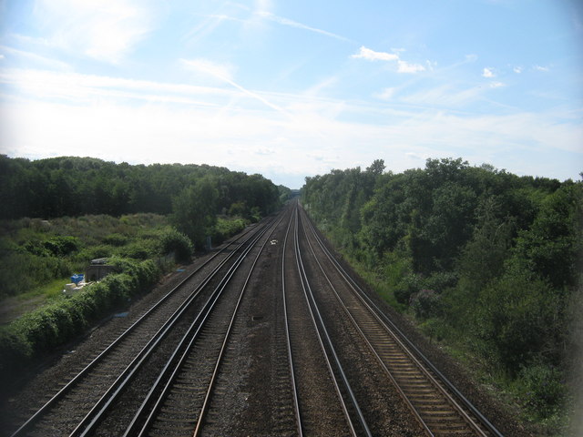
St Mary Cray railway station
St Mary Cray railway station is in St Mary Cray, South East London within the London Borough of Bromley. It is 14 miles 57 chains (23.7 km) down the line...
Nearby Amenities
Located within 500m of 51.38928,0.13173171Have you been to The Warren?
Leave your review of The Warren below (or comments, questions and feedback).