Barn Shaw

Wood, Forest in Sussex Wealden

England

Barn Shaw

Bolebrook Castle Reputedly the earliest brick building in Sussex (around 1480) and legend has it that Henry VIII came here to hunt the deer, wild boar and woo Ann Boleyn who lived 5 miles away at Hever.
Bolebrook Castle Credit: Nigel Freeman

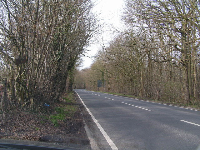
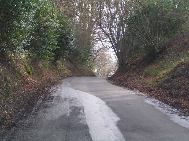
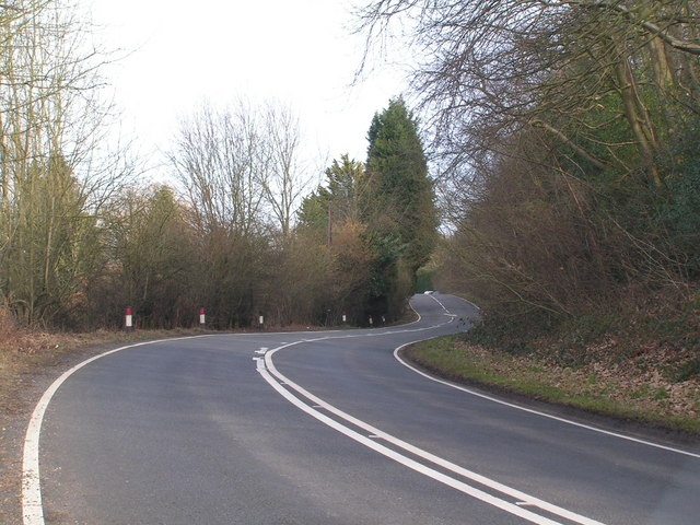
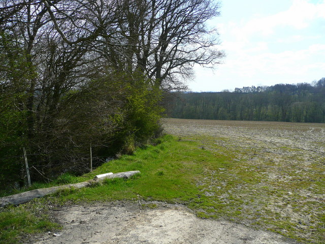
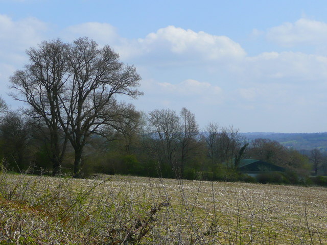
Barn Shaw is a picturesque woodland located in the county of Sussex, England. It is situated within the larger area known as the Sussex Weald, which is characterized by its extensive forests and rolling hills. Barn Shaw, specifically, is renowned for its dense and ancient woodland, which spans an area of approximately 100 acres.

The woodland is primarily composed of oak and beech trees, providing a rich and diverse habitat for a wide range of flora and fauna. Visitors to Barn Shaw can expect to encounter an array of native wildflowers, such as bluebells and primroses, especially during the spring months when the forest floor becomes a vibrant carpet of color.

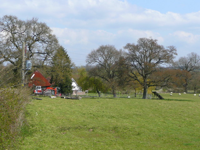
The woods are home to a variety of bird species, including woodpeckers, owls, and various songbirds, making it a popular destination for birdwatching enthusiasts. It is also not uncommon to spot deer and other small mammals, such as foxes and squirrels, as they roam freely throughout the forest.

Barn Shaw offers numerous walking trails that meander through the woodland, allowing visitors to explore its natural beauty at their own pace. These paths provide an opportunity to immerse oneself in the serene atmosphere of the forest, with the gentle rustling of leaves and the occasional bird song serving as a soothing soundtrack.

Overall, Barn Shaw is a tranquil and enchanting woodland, providing a peaceful retreat for nature lovers and a haven for wildlife in the heart of Sussex.

If you have any feedback on the listing, please let us know in the comments section below.
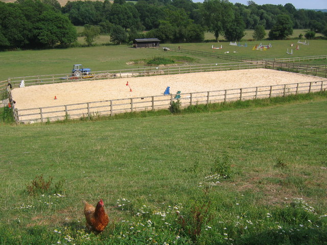
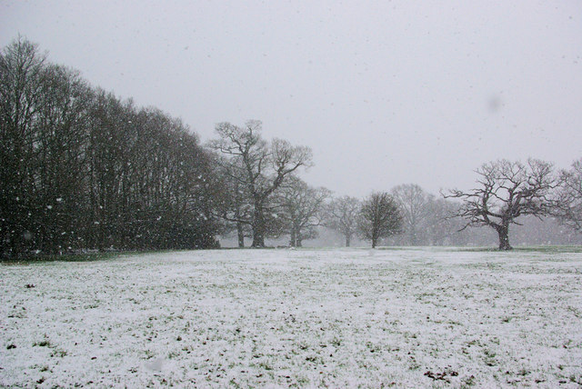
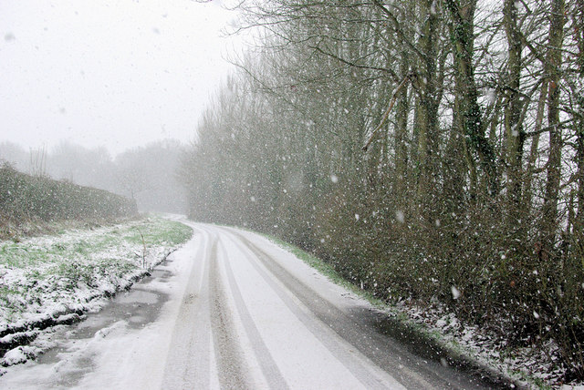
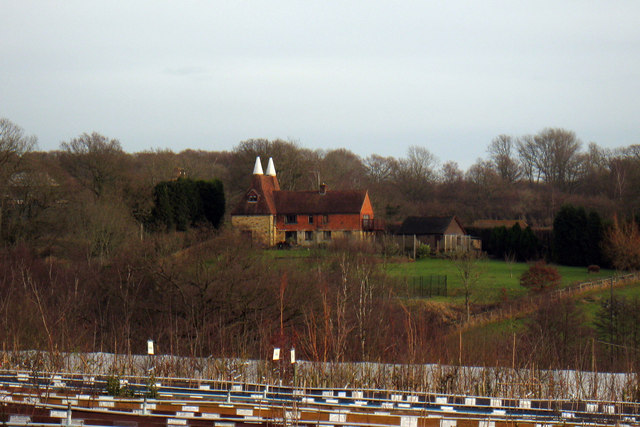
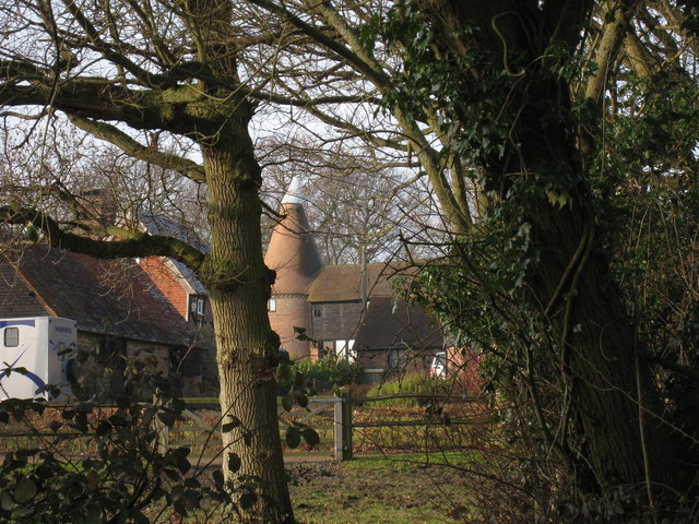
Barn Shaw Images

Images are sourced within 2km of 51.128078/0.11862373 or Grid Reference TQ4838. Thanks to Geograph Open Source API. All images are credited.

Bolebrook Castle Reputedly the earliest brick building in Sussex (around 1480) and legend has it that Henry VIII came here to hunt the deer, wild boar and woo Ann Boleyn who lived 5 miles away at Hever.
Bolebrook Castle
Reputedly the earliest brick building in Sussex (around 1480) and legend has it that Henry VIII came here to hunt the deer, wild boar and woo Ann Boleyn who lived 5 miles away at Hever.
The Road to Edenbridge (B2026) The B2026 runs 20 miles north - south from Westerham to Maresfield, via Edenbridge. It crosses Ashdown Forest.
<span class="nowrap"><a title="http://www.sabre-roads.org.uk/wiki/index.php?title=B2026" rel="nofollow ugc noopener" href="http://www.sabre-roads.org.uk/wiki/index.php?title=B2026">Link</a><img style="margin-left:2px;" alt="External link" title="External link - shift click to open in new window" src="https://s1.geograph.org.uk/img/external.png" width="10" height="10"/></span>
The Road to Edenbridge (B2026)
The B2026 runs 20 miles north - south from Westerham to Maresfield, via Edenbridge. It crosses Ashdown Forest. LinkExternal link
Kentish Byway
Kentish Byway
Sussex Oak Public House A large roadside inn on the A264 Tunbridge Wells to East Grinstead Road.
Sadly now closed, see <a href="https://www.geograph.org.uk/photo/2944951">TQ4839 : Formerly The Sussex Oak</a>
Sussex Oak Public House
A large roadside inn on the A264 Tunbridge Wells to East Grinstead Road. Sadly now closed, see TQ4839 : Formerly The Sussex Oak
A264 Tunbridge Wells to East Grinstead road, not too busy!
A264
Tunbridge Wells to East Grinstead road, not too busy!
Sand school and horse paddocks
B2026 by Tye Farm Cottages A snowy morning, but a well salted road.
B2026 by Tye Farm Cottages
A snowy morning, but a well salted road.
In the Snow The general direction of the footpath to Lodgefield Farm.
In the Snow
The general direction of the footpath to Lodgefield Farm.
Beech Green Lane in the Snow Falling snow confuses autofocus greatly.
Beech Green Lane in the Snow
Falling snow confuses autofocus greatly.
Beech Green Lane A snowy morning.
Beech Green Lane
A snowy morning.
Red Telephone Box at B2026 crossroads near Holtye Red K6 telephone box at A264/B2026 crossroads near Holtye.
Red Telephone Box at B2026 crossroads near Holtye
Red K6 telephone box at A264/B2026 crossroads near Holtye.
Wealden field south of Blackham The soil lies damp here.
Wealden field south of Blackham
The soil lies damp here.
Unploughed field near Blackham A building at Stephnett's Farm can just be seen.
Unploughed field near Blackham
A building at Stephnett's Farm can just be seen.
The Sussex Oak Both pub and tree alongside the A264 between Ashurst and Holtye.
The welcome sight of Shepherd Neame's scarlet signage!
The Sussex Oak
Both pub and tree alongside the A264 between Ashurst and Holtye. The welcome sight of Shepherd Neame's scarlet signage!
Field by Blackham Lane View north from the junction with the A264 by the Sussex Oak.
Field by Blackham Lane
View north from the junction with the A264 by the Sussex Oak.
The Oast, Bassetts Manor, Buctherfield Lane, Hartfield, East Sussex
Perryhill Oast, Perryhill, Hartfield, East Sussex
Oast House, Salehurst, Blackham, East Sussex Single round kiln oast house.
Oast House, Salehurst, Blackham, East Sussex
Single round kiln oast house.
Show me another place!

Barn Shaw is located at Grid Ref: TQ4838 (Lat: 51.128078, Lng: 0.11862373)

Administrative County: East Sussex

District: Wealden

Police Authority: Sussex

What 3 Words

///defeat.fortunate.rate. Near Groombridge, East Sussex

Nearby Locations

Beech Green Wood Barn Shaw

Related Wikis

Bolebroke Castle

Bolebroke Castle is a 15th-century hunting lodge located north of the village of Hartfield, East Sussex, England. It is a Grade II* listed building.The...

Bolebroke Castle Miniature Railway

The Bolebroke Castle Miniature Railway or Bolebroke Castle and Lakes Railway (often abbreviated to BC&LR) was a 7+1⁄4 inches (180 mm) railway that ran...

Mills Rocks

Mills Rocks is a 1.9-hectare (4.7-acre) biological Site of Special Scientific Interest south-east of East Grinstead in West Sussex.This site has rock outcrops...

Blackham

Blackham is a village in the Wealden district of East Sussex. It lies within the Withyham civil parish. Its nearest town is Royal Tunbridge Wells, which...

Bassetts Manor

Bassetts Manor is a Grade II-listed building in Hartfield, East Sussex, England. == Location == The manor is located North of the village of Hartfield...

Ashurst railway station

Ashurst railway station is on the Uckfield branch of the Oxted line in southern England and serves Ashurst in Kent (very close to the East Sussex border...

Hartfield railway station

Hartfield was a railway station serving Hartfield, England, on the Three Bridges to Tunbridge Wells Central Line which closed in 1967, a casualty of the...

Cowden

Cowden () is a small village and civil parish in the Sevenoaks District of Kent, England. The parish is located on the northern slopes of the Weald, south...

Nearby Amenities

Located within 500m of 51.128078,0.11862373
Power: tower
Lat/Long: 51.1306788/0.1140972
Power: tower
Lat/Long: 51.1323879/0.1195281
Power: tower
Lat/Long: 51.1316704/0.1172573
The data included in this document is from www.openstreetmap.org. The data is made available under ODbL.

Have you been to Barn Shaw?

Leave your review of Barn Shaw below (or comments, questions and feedback).