Falkirk

Settlement in Stirlingshire

Scotland

Falkirk

Forth and Clyde Canal at Lock 16 The Forth and Clyde Canal links Bowling on the Firth of Clyde with Grangemouth on the Firth of Forth. It allowed goods to be transported between the east and west coasts, and to be exported from Glasgow to Europe or from Edinburgh to America, without taking the hazardous route round the north of Scotland or the longer route via the English Channel. 

It is 56 kilometres (35 miles) long and has 39 locks, and the highest point is 47 metres (155 feet) above sea level. Originally there were 33 drawbridges, ten large aqueducts and 33 smaller ones.

It was designed by the engineer John Smeaton and opened in 1790, after over 20 years of planning and construction. 

With time seagoing vessels became too large to pass through the locks, and competition from the railways in the 19th century led to it being more or less disused, and it was closed in 1963.

However it was reopened as a Millennium project in 2001, and linked to the Union Canal by the Falkirk Wheel.
Forth and Clyde Canal at Lock 16 Credit: Eirian Evans

Falkirk is a historic town located in the county of Stirlingshire, Scotland. Situated between Glasgow and Edinburgh, Falkirk is strategically positioned at the heart of the Central Belt, making it an important transportation hub. The town covers an area of approximately 4.6 square miles (12 square kilometers) and has a population of around 34,570 people.

Falkirk has a rich history dating back to Roman times when it served as a major crossing point on the Antonine Wall, the northernmost frontier of the Roman Empire. Today, remnants of this era can still be seen in the form of the Roman-built Antonine Wall and the remains of the Roman fort at Rough Castle.

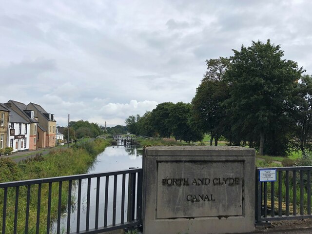
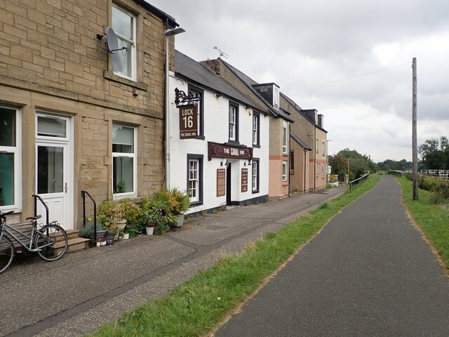
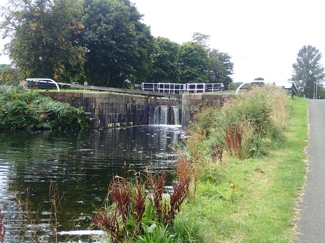
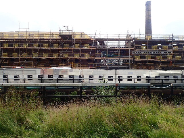
The town is perhaps best known for its industrial heritage, particularly in relation to the iron and steel industries. Falkirk played a significant role in the Industrial Revolution, with the Carron Iron Works being one of the largest and most important ironworks in Europe during the 18th and 19th centuries. The Falkirk Wheel, an impressive rotating boat lift, stands as a testament to the town's industrial past and is a popular tourist attraction.

In addition to its historical significance, Falkirk offers a range of modern amenities and attractions. These include the Helix Park and the iconic Kelpies, two enormous horse-head sculptures that have become iconic symbols of Falkirk. The town also boasts a vibrant retail sector with a variety of shops, restaurants, and entertainment venues.

Overall, Falkirk is a town that seamlessly blends its rich history with modern developments, making it an attractive place to live, work, and visit.

If you have any feedback on the listing, please let us know in the comments section below.
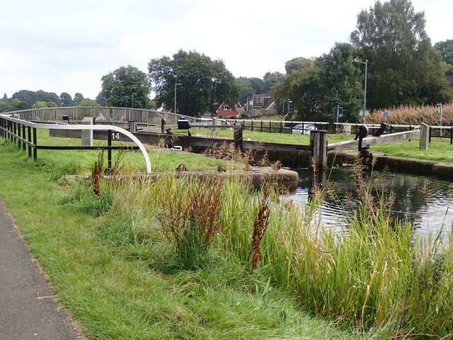
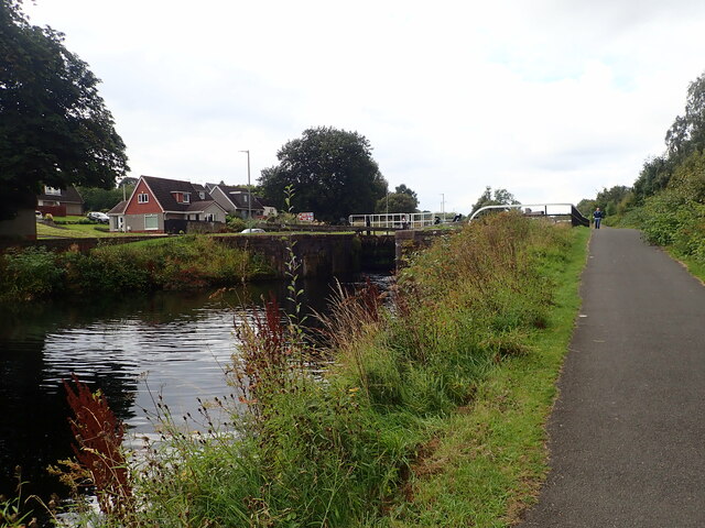
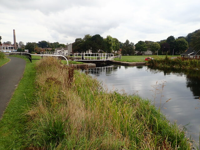
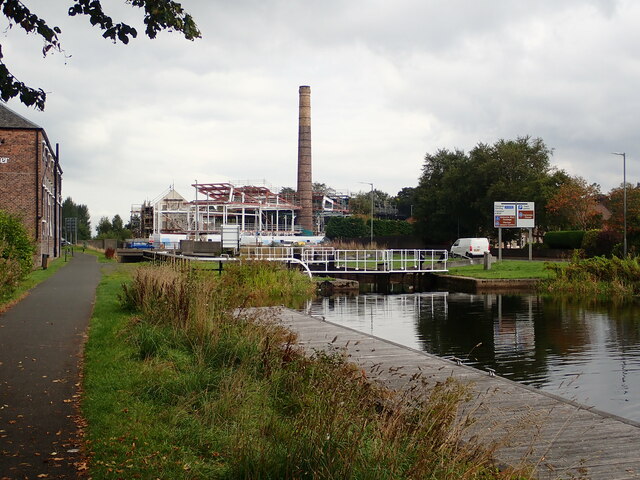
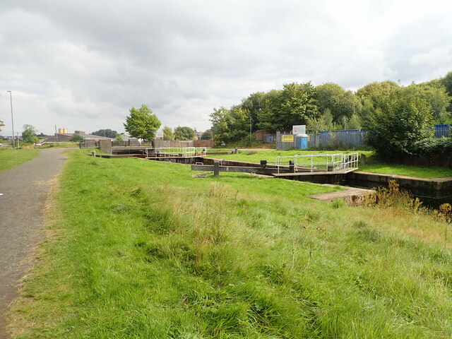
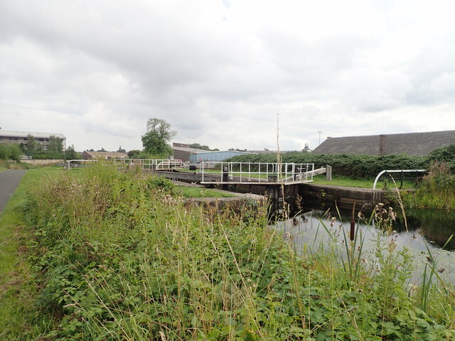
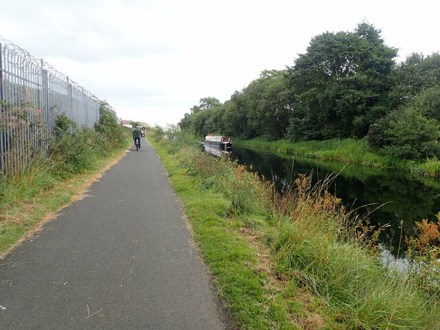
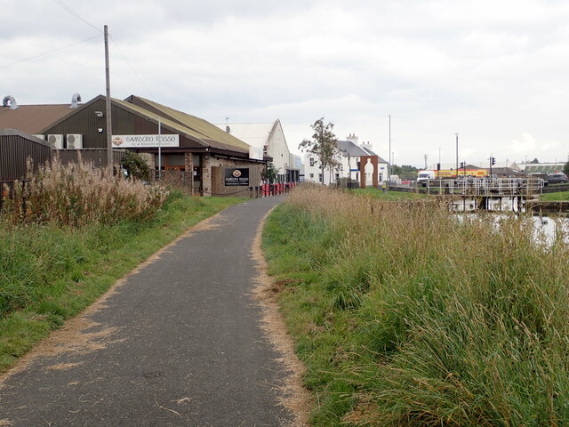
Falkirk Images

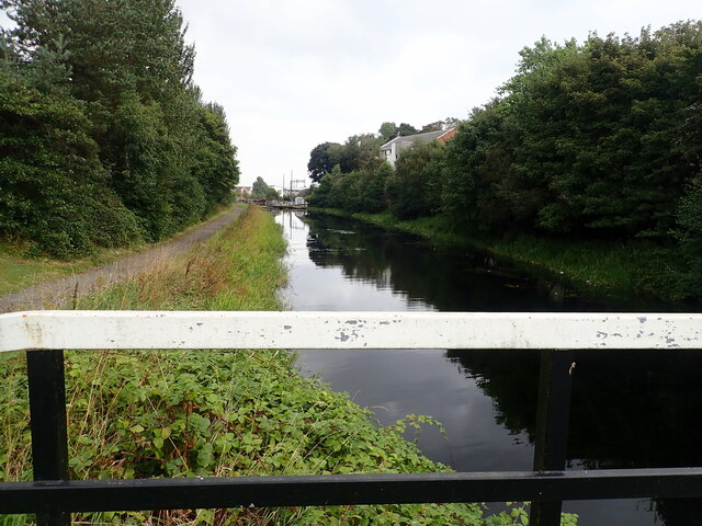
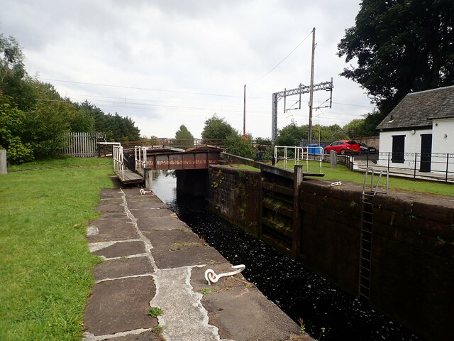
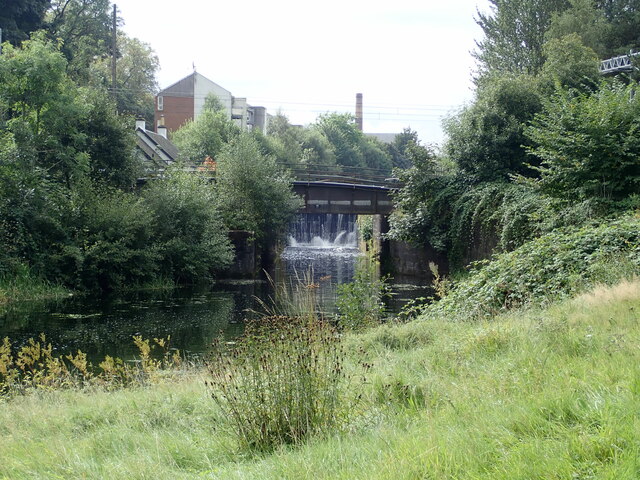
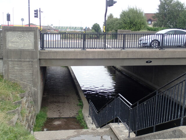
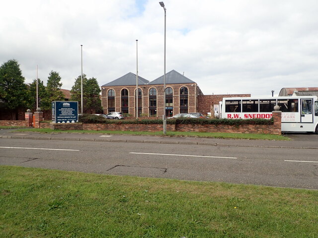
Images are sourced within 2km of 55.999374/-3.784843 or Grid Reference NS8879. Thanks to Geograph Open Source API. All images are credited.

Forth and Clyde Canal at Lock 16 The Forth and Clyde Canal links Bowling on the Firth of Clyde with Grangemouth on the Firth of Forth. It allowed goods to be transported between the east and west coasts, and to be exported from Glasgow to Europe or from Edinburgh to America, without taking the hazardous route round the north of Scotland or the longer route via the English Channel. 

It is 56 kilometres (35 miles) long and has 39 locks, and the highest point is 47 metres (155 feet) above sea level. Originally there were 33 drawbridges, ten large aqueducts and 33 smaller ones.

It was designed by the engineer John Smeaton and opened in 1790, after over 20 years of planning and construction. 

With time seagoing vessels became too large to pass through the locks, and competition from the railways in the 19th century led to it being more or less disused, and it was closed in 1963.

However it was reopened as a Millennium project in 2001, and linked to the Union Canal by the Falkirk Wheel.
Forth and Clyde Canal at Lock 16
The Forth and Clyde Canal links Bowling on the Firth of Clyde with Grangemouth on the Firth of Forth. It allowed goods to be transported between the east and west coasts, and to be exported from Glasgow to Europe or from Edinburgh to America, without taking the hazardous route round the north of Scotland or the longer route via the English Channel. It is 56 kilometres (35 miles) long and has 39 locks, and the highest point is 47 metres (155 feet) above sea level. Originally there were 33 drawbridges, ten large aqueducts and 33 smaller ones. It was designed by the engineer John Smeaton and opened in 1790, after over 20 years of planning and construction. With time seagoing vessels became too large to pass through the locks, and competition from the railways in the 19th century led to it being more or less disused, and it was closed in 1963. However it was reopened as a Millennium project in 2001, and linked to the Union Canal by the Falkirk Wheel.
Canal Inn Beside the towpath along the Forth and Clyde Canal
Canal Inn
Beside the towpath along the Forth and Clyde Canal
Lock 15 on the Forth and Clyde Canal The Forth and Clyde Canal links Bowling on the Firth of Clyde with Grangemouth on the Firth of Forth. It allowed goods to be transported between the east and west coasts, and to be exported from Glasgow to Europe or from Edinburgh to America, without taking the hazardous route round the north of Scotland or the longer route via the English Channel. 

It is 56 kilometres (35 miles) long and has 39 locks, and the highest point is 47 metres (155 feet) above sea level. Originally there were 33 drawbridges, ten large aqueducts and 33 smaller ones.

It was designed by the engineer John Smeaton and opened in 1790, after over 20 years of planning and construction. 

With time seagoing vessels became too large to pass through the locks, and competition from the railways in the 19th century led to it being more or less disused, and it was closed in 1963.

However it was reopened as a Millennium project in 2001, and linked to the Union Canal by the Falkirk Wheel.
Lock 15 on the Forth and Clyde Canal
The Forth and Clyde Canal links Bowling on the Firth of Clyde with Grangemouth on the Firth of Forth. It allowed goods to be transported between the east and west coasts, and to be exported from Glasgow to Europe or from Edinburgh to America, without taking the hazardous route round the north of Scotland or the longer route via the English Channel. It is 56 kilometres (35 miles) long and has 39 locks, and the highest point is 47 metres (155 feet) above sea level. Originally there were 33 drawbridges, ten large aqueducts and 33 smaller ones. It was designed by the engineer John Smeaton and opened in 1790, after over 20 years of planning and construction. With time seagoing vessels became too large to pass through the locks, and competition from the railways in the 19th century led to it being more or less disused, and it was closed in 1963. However it was reopened as a Millennium project in 2001, and linked to the Union Canal by the Falkirk Wheel.
Local Heroes Cut-out sculptures of three renowned local men - Dr Harold Lyon on the left, who established a centre for palliative care for Central Scotland; Reginald Adams (centre) a swimming trainer over 50 years who coached Scottish champions, and Robert Barr (right) who produced the famous Scottish soft drink "Iron Brew" in 1875
Local Heroes
Cut-out sculptures of three renowned local men - Dr Harold Lyon on the left, who established a centre for palliative care for Central Scotland; Reginald Adams (centre) a swimming trainer over 50 years who coached Scottish champions, and Robert Barr (right) who produced the famous Scottish soft drink "Iron Brew" in 1875
Lock 14 on the Forth and Clyde Canal
Camelon Lock No.13 on the Clyde and Forth Canal The towpath is a popular walk between the Helix and the Falkirk Wheel
Camelon Lock No.13 on the Clyde and Forth Canal
The towpath is a popular walk between the Helix and the Falkirk Wheel
Camelon Lock No.12 On the Forth and Clyde Canal. On the left is the high chimney of the former Rosebank Distillery.
Camelon Lock No.12
On the Forth and Clyde Canal. On the left is the high chimney of the former Rosebank Distillery.
Rosebank Lock No. 11 On the Forth and Clyde Canal. Dominating the lock is the chimney of Rosebank Distillery. This closed in 1968 and it had been lying empty and deteriorating for many years. In 2018 new owners Ian Macleod Distillers said they intended to bring the site back into use as a distillery. Partial demolition and redevelopment has begun to form new Distillery incorporating Visitor Experience, Cafe, retail, associated landscaping and car park.
Rosebank Lock No. 11
On the Forth and Clyde Canal. Dominating the lock is the chimney of Rosebank Distillery. This closed in 1968 and it had been lying empty and deteriorating for many years. In 2018 new owners Ian Macleod Distillers said they intended to bring the site back into use as a distillery. Partial demolition and redevelopment has begun to form new Distillery incorporating Visitor Experience, Cafe, retail, associated landscaping and car park.
Rosebank Distillery Partial demolition of the old distillery taking place. A new complex is beginning to take shape to form a new Distillery incorporating Visitor Experience, Cafe, retail, associated landscaping and car park.
Rosebank Distillery
Partial demolition of the old distillery taking place. A new complex is beginning to take shape to form a new Distillery incorporating Visitor Experience, Cafe, retail, associated landscaping and car park.
Looking down the Forth and Clyde Canal from Lock No.10
Camelon Railway Lock, No. 9 The railway bridge carries the Edinburgh to Dundee railway line.
Camelon Railway Lock, No. 9
The railway bridge carries the Edinburgh to Dundee railway line.
Camelon Railway Lock, No. 9 Taken from the towpath on the north side of the Clyde & Forth Canal
Camelon Railway Lock, No. 9
Taken from the towpath on the north side of the Clyde & Forth Canal
Merers Lock Lock No.8 on the Forth and Clyde Canal. Merchiston Road crosses the canal east of the lock
Merers Lock
Lock No.8 on the Forth and Clyde Canal. Merchiston Road crosses the canal east of the lock
Merchiston Lock This is lock No.7 on the Forth and Clyde Canal
Merchiston Lock
This is lock No.7 on the Forth and Clyde Canal
Towpath beside the Forth and Clyde Canal The barbed wire topped fence on the left surrounds an industrial area.
Towpath beside the Forth and Clyde Canal
The barbed wire topped fence on the left surrounds an industrial area.
Forth and Clyde Canal towpath Near canal lock no.5, Bainsford Lock. The B905 crosses the canal on the east side of the lock.
Forth and Clyde Canal towpath
Near canal lock no.5, Bainsford Lock. The B905 crosses the canal on the east side of the lock.
Towpath underpassing Grahams Road bridge
Offices to let on Bankside
Show me another place!

Falkirk is located at Grid Ref: NS8879 (Lat: 55.999374, Lng: -3.784843)

Unitary Authority: Falkirk

Police Authority: Forth Valley

What 3 Words

///dame.waving.cycles. Near Falkirk

Related Wikis

Falkirk Steeple

The Falkirk Steeple is a landmark which dominates the skyline of Falkirk in central Scotland. The present structure on the High Street was built in 1814...

St Andrew's West

St. Andrew's West Parish Church is the largest church in Falkirk, Scotland, founded in 1843 and situated in the town centre on Upper Newmarket Street and...

Falkirk Old Parish Church

Falkirk Old & St. Modan's Parish Church, also known as "Falkirk Trinity Church", is a congregation of the Church of Scotland in Falkirk, central Scotland...

Falkirk

Falkirk (; Scottish Gaelic: An Eaglais Bhreac; Scots: Fawkirk [ˈfɔːkɪrk]) is a town in the Central Lowlands of Scotland, historically within the county...

Nearby Amenities

Located within 500m of 55.999374,-3.784843
Traffic Signals
Lat/Long: 56.000375/-3.7881359
Traffic Signals
Lat/Long: 56.0015103/-3.7879023
Crossing
Crossing: traffic_signals
Lat/Long: 56.000011/-3.7797362
Traffic Signals
Lat/Long: 56.0001888/-3.778437
Falkirk Grahamston
Naptan AtcoCode: 9100FALKRKG
Network: National Rail
Public Transport: stop_position
Source: NPE
Train: yes
Lat/Long: 56.0023608/-3.7852312
Falkirk
Name Gd: An Eaglais Bhreac
Name Lt: Folkerkas
Place: town
Population: 35590
Population Date: mid-2020 estimate
Source Population: wikipedia
Wikidata: Q623687
Wikipedia: en:Falkirk
Lat/Long: 55.9991959/-3.784376
Mini Roundabout
Lat/Long: 55.9952616/-3.7846849
Mini Roundabout
Direction: clockwise
Lat/Long: 55.99638/-3.7843897
Mini Roundabout
Direction: clockwise
Lat/Long: 55.9977871/-3.7899324
Traffic Signals
Lat/Long: 56.0006727/-3.7844089
Traffic Signals
Lat/Long: 56.000135/-3.7881554
Traffic Signals
Lat/Long: 56.0014514/-3.7878158
Traffic Signals
Lat/Long: 56.0003913/-3.7880155
Mini Roundabout
Direction: clockwise
Lat/Long: 56.0030571/-3.7839805
Crossing
Crossing: traffic_signals
Crossing Island: no
Crossing Ref: puffin
Supervised: no
Tactile Paving: yes
Lat/Long: 56.003534/-3.7838728
Mini Roundabout
Direction: clockwise
Lat/Long: 55.9977115/-3.7904754
Parking
Fee: Yes. Refund for Asda customers
Lat/Long: 56.0012496/-3.7874847
Traffic Signals
Lat/Long: 55.9998851/-3.7811798
Parking Entrance
Parking: multi-storey
Lat/Long: 55.9997058/-3.780909
Turning Circle
Lat/Long: 55.9979626/-3.7878609
Barrier: bollard
Lat/Long: 55.9977158/-3.7887887
Pub
The Graeme
Wheelchair: limited
Lat/Long: 56.0036011/-3.7840667
Atm
Fee: no
Operator: Tesco
Lat/Long: 56.0028666/-3.7828882
Pharmacy
Tesco
Dispensing: yes
Healthcare: pharmacy
Lat/Long: 56.0025937/-3.7830756
Bicycle: no
Entrance: main
Foot: yes
Wheelchair: yes
Lat/Long: 56.0030407/-3.782166
Crossing
Crossing: uncontrolled
Crossing Ref: zebra
Supervised: no
Lat/Long: 56.003695/-3.7832657
Atm
Fee: no
Operator: Tesco
Lat/Long: 56.0028262/-3.7831938
Johnsons
Brand: Johnsons
Brand Wikidata: Q6268527
Brand Wikipedia: en:Johnsons Cleaners UK
Shop: dry_cleaning
Website: https://www.johnsoncleaners.com/
Wheelchair: yes
Lat/Long: 56.0029301/-3.7824841
Cafe
Tesco
Addr City: Falkirk
Addr Housename: Grahamston Retail Park
Addr Place: Central Retail Park
Addr Postcode: FK1 1LW
Addr Street: Grahams Road
Brand: Tesco
Brand Wikidata: Q487494
Brand Wikipedia: en:Tesco
Cuisine: regional
Fhrs Id: 737273
Wheelchair: yes
Lat/Long: 56.0029763/-3.7819885
Post Box
Collection Times: Mo-Fr 17:45; Sa 12:00
Operator: Royal Mail
Post Box Type: pillar
Ref: FK1 4
Royal Cypher: no
Lat/Long: 55.9988787/-3.7825408
Post Box
Collection Times: Mo-Fr 17:15; Sa 12:00
Operator: Royal Mail
Post Box Type: pillar
Ref: FK1 7
Royal Cypher: scottish_crown
Lat/Long: 55.9992597/-3.7847846
Mini Roundabout
Direction: clockwise
Lat/Long: 56.0029879/-3.7885984
Turning Circle
Lat/Long: 56.0014297/-3.7882079
Barrier: lift_gate
Bicycle: yes
Foot: no
Motorcar: yes
Motorcycle: yes
Lat/Long: 56.0025381/-3.7892314
Crossing
Crossing: uncontrolled
Crossing Ref: zebra
Lat/Long: 56.0029084/-3.7889116
Recycling
Recycling Clothes: yes
Recycling Glass: yes
Recycling Paper: yes
Recycling Scrap Metal: yes
Recycling Type: container
Lat/Long: 56.0030008/-3.7891465
Bicycle Parking
Bicycle Parking: stands
Capacity: 10
Lat/Long: 56.0003371/-3.7865764
Bicycle Parking
Bicycle Parking: stands
Capacity: 4
Covered: no
Lat/Long: 55.9985545/-3.7833306
Bicycle Parking
Bicycle Parking: stands
Capacity: 4
Covered: no
Lat/Long: 55.9985604/-3.7832696
Entrance: emergency
Lat/Long: 55.995306/-3.7860153
Entrance: yes
Foot: yes
Source: local_knowledge
Lat/Long: 56.0004195/-3.7891758
Entrance: main
Foot: yes
Wheelchair: yes
Lat/Long: 56.0004523/-3.7892652
Entrance: main
Foot: yes
Lat/Long: 56.000627/-3.7882247
South African War Memorial
Historic: monument
Inscription: Erected in honour of the officers and men belonging to the Eastern district of Stirlingshire who fell in the service of their country during the South African War 1899 - 1902
Monument: war_memorial
Lat/Long: 56.0005911/-3.7864066
Access: destination
Entrance: main
Foot: yes
Wheelchair: yes
Lat/Long: 56.0007224/-3.7874061
Atm
Currency GBP: yes
Fee: no
Operator: Royal Bank of Scotland
Lat/Long: 56.0007524/-3.7874068
Access: destination
Entrance: main
Foot: yes
Motor Vehicle: no
Wheelchair: yes
Lat/Long: 56.0008364/-3.7873419
Access: destination
Entrance: main
Motor Vehicle: yes
Lat/Long: 56.0012528/-3.7875299
Access: delivery
Entrance: service
Foot: no
Motor Vehicle: yes
Lat/Long: 56.0012857/-3.7865352
Access: permissive
Entrance: main
Foot: yes
Wheelchair: yes
Lat/Long: 56.0014175/-3.7883754
Access: destination
Entrance: main
Motor Vehicle: yes
Lat/Long: 56.0014273/-3.7861313
Entrance: main
Foot: yes
Wheelchair: yes
Lat/Long: 56.0017618/-3.7884036
Power: transformer
Lat/Long: 56.0020801/-3.7804368
Power: transformer
Lat/Long: 56.0021149/-3.780625
Entrance: main
Foot: yes
Wheelchair: yes
Lat/Long: 56.0024343/-3.7851675
Access: destination
Entrance: main
Foot: yes
Wheelchair: yes
Lat/Long: 56.0024894/-3.7801133
Entrance: main
Foot: yes
Wheelchair: yes
Lat/Long: 56.0025298/-3.7849275
Access: destination
Entrance: main
Foot: yes
Wheelchair: yes
Lat/Long: 56.0027014/-3.7802729
Entrance: main
Foot: yes
Wheelchair: yes
Lat/Long: 56.0032564/-3.7836081
Recycling
Recycling Cans: yes
Recycling Clothes: yes
Recycling Glass: yes
Recycling Scrap Metal: no
Recycling Type: container
Lat/Long: 55.9972973/-3.7813624
Man Made: tower
Source: Bing
Tower Type: communication
Lat/Long: 55.9987802/-3.7771813
Man Made: tower
Source: local_knowledge
Tower Type: communication
Lat/Long: 56.0024596/-3.7876037
Man Made: tower
Source: local_knowledge
Tower Type: communication
Lat/Long: 56.0024703/-3.7876969
Waste Basket
Lat/Long: 55.9951869/-3.7855754
Waste Basket
Lat/Long: 55.9953191/-3.7851044
Entrance: emergency
Lat/Long: 55.9953349/-3.7851267
Entrance: main
Lat/Long: 55.9954535/-3.7849617
Entrance: emergency
Lat/Long: 55.9955408/-3.7860485
Waste Basket
Lat/Long: 55.9955692/-3.7861019
Entrance: main
Lat/Long: 55.9955882/-3.7851204
Waste Basket
Lat/Long: 55.9956151/-3.7850735
Entrance: main
Lat/Long: 55.9958892/-3.7860207
Crossing
Bicycle: yes
Crossing: traffic_signals
Crossing Ref: puffin
Supervised: no
Lat/Long: 55.9965255/-3.7861737
Crossing
Supervised: yes
Lat/Long: 55.9960051/-3.7844095
Iceland
Addr City: Falkirk
Addr Housename: Callendar Square
Addr Postcode: FK1 1UJ
Addr Street: High Street
Brand: Iceland
Brand Wikidata: Q721810
Brand Wikipedia: en:Iceland (supermarket)
Fixme: Has this Iceland store closed? (store website suggests it might have done.)
Shop: frozen_food
Website: https://www.iceland.co.uk/store-finder/store?StoreID=957&StoreName=FALKIRK
Lat/Long: 55.9994145/-3.7816623
Bus Stop
Park Street
Bus: yes
Departures Board: no
Naptan AtcoCode: 66901002012
Naptan NaptanCode: 32524685
Public Transport: platform
Shelter: yes
Lat/Long: 56.0018399/-3.7829755
Barrier: bollard
Bicycle: yes
Bollard: rising
Foot: yes
Motor Vehicle: no
Motorcar: no
Motorcycle: no
Lat/Long: 56.0030481/-3.7883776
Taxi
Lat/Long: 55.9982456/-3.7777917
Taxi
Lat/Long: 55.9983579/-3.7792003
Bicycle Parking
Bicycle Parking: stands
Capacity: 10
Covered: no
Lat/Long: 55.9985025/-3.7804931
Tems Trimz
Description: Turkish Barber
Shop: hairdresser
Lat/Long: 55.998462/-3.7807995
Falkirk Grahamston
Public Transport: stop_position
Train: yes
Lat/Long: 56.0023254/-3.7852423
Railway: switch
Lat/Long: 56.0015948/-3.7778735
Crossing
Crossing: uncontrolled
Crossing Ref: zebra
Supervised: no
Lat/Long: 56.0031018/-3.7821971
Crossing
Crossing: uncontrolled
Crossing Ref: zebra
Supervised: no
Lat/Long: 56.0036624/-3.7831634
Crossing
Crossing: uncontrolled
Crossing Ref: zebra
Supervised: no
Lat/Long: 56.0037035/-3.7829104
Old Time Classic
Shop: tattoo
Lat/Long: 56.0014508/-3.7844708
Stenhouse School of Dance
Dance Teaching: yes
Leisure: dance
Phone: +44 1324 620 860
Website: http://stenhousedance.co.uk/
Lat/Long: 56.0015177/-3.7849877
Trutex Schoolwear
Second Hand: no
Shop: clothes
Lat/Long: 56.0010596/-3.7844954
Entrance: emergency
Lat/Long: 55.9952522/-3.7855525
Entrance: emergency
Lat/Long: 55.9955981/-3.7855911
Post Box
Brand: Royal Mail
Brand Wikidata: Q638098
Collection Times: Mo-Fr 09:00; Sa 07:00
Drive Through: no
Operator: Royal Mail
Operator Wikidata: Q638098
Post Box Type: pillar
Ref: FK1 180D
Royal Cypher: scottish_crown
Lat/Long: 55.9999527/-3.7815826
Charging Station
Operator: CYC
Lat/Long: 56.0025259/-3.7855317
Bicycle Parking
Fee: no
Surface: asphalt
Lat/Long: 55.995047/-3.7856718
Barrier: bollard
Lat/Long: 55.9994619/-3.7800517
Barrier: bollard
Bicycle: yes
Foot: yes
Lat/Long: 55.999887/-3.7802182
Crossing
Crossing: zebra
Lat/Long: 56.0024865/-3.7790382
Shelter
Lat/Long: 56.0025116/-3.7842686
Bicycle Parking
Lat/Long: 56.0024654/-3.7853983
Barrier: bollard
Lat/Long: 55.9986824/-3.7814143
Town Heritage Trail : John Logie Baird
Board Type: history
Information: board
Tourism: information
Wikimedia Commons: File:Falkirk Town Heritage Trail - John Logie Baird.jpg
Lat/Long: 55.9984134/-3.785414
Town Heritage Trail : The Lint Riggs
Board Type: history
Information: board
Tourism: information
Wikimedia Commons: File:Falkirk Town Heritage Trail - The Lint Riggs.jpg
Lat/Long: 56.0000331/-3.7867321
Town Heritage Trail : The Old Town Hall
Board Type: history
Information: board
Tourism: information
Wikimedia Commons: File:Falkirk Town Heritage Trail - The Old Town Hall.jpg
Lat/Long: 56.0004776/-3.7863752
Town Heritage Trail : The Burgh Buildings
Board Type: history
Information: board
Tourism: information
Wikimedia Commons: File:Falkirk Town Heritage Trail - The Burgh Buildings.jpg
Lat/Long: 56.0007452/-3.78617
Town Heritage Trail : Aitken's Brewery
Board Type: history
Information: board
Tourism: information
Wikimedia Commons: File:Falkirk Town Heritage Trail - Aitken's Brewery.jpg
Lat/Long: 56.0007943/-3.7874078
Barrier: lift_gate
Lat/Long: 55.9985944/-3.7848167
Tolbooth Street
Board Type: history
Description: The shortest street in Britain at 58' (17.67m)
Information: board
Tourism: information
Lat/Long: 55.9992851/-3.7838916
Town Heritage Trail : The Tattie Kirk
Board Type: history
Information: board
Tourism: information
Wikimedia Commons: File:Falkirk Town Heritage Trail - The Tattie Kirk.jpg
Lat/Long: 55.997653/-3.7829213
Town Heritage Trail : The Cow Wynd
Board Type: history
Information: board
Tourism: information
Wikimedia Commons: File:Falkirk Town Heritage Trail - The Cow Wynd.jpg
Lat/Long: 55.9988632/-3.7832877
Town Heritage Trail : The Steeple
Board Type: history
Information: board
Tourism: information
Wikimedia Commons: File:Falkirk Town Heritage Trail - The Steeple.jpg
Lat/Long: 55.9992178/-3.7842276
Town Heritage Trail : The Old Market Place
Board Type: history
Information: board
Tourism: information
Wikimedia Commons: File:Falkirk Town Heritage Trail - The Old Market Place.jpg
Lat/Long: 55.9992354/-3.7842695
Town Heritage Trail : The Falkirk Fort
Board Type: history
Information: board
Tourism: information
Wikimedia Commons: File:Falkirk Town Heritage Trail - The Falkirk Fort.jpg
Lat/Long: 55.9975822/-3.785997
Town Heritage Trail : The Parish Church Graveyard
Board Type: history
Information: board
Tourism: information
Wikimedia Commons: File:Falkirk Town Heritage Trail - The Parish Church Graveyard.jpg
Lat/Long: 55.9998374/-3.7862007
Town Heritage Trail : The Crosskeys
Board Type: history
Information: board
Tourism: information
Wikimedia Commons: File:Falkirk Town Heritage Trail - The Crosskeys.jpg
Lat/Long: 55.9987919/-3.7820756
Town Heritage Trail : The Silver Row
Board Type: history
Information: board
Tourism: information
Wikimedia Commons: File:Falkirk Town Heritage Trail - The Silver Row.jpg
Lat/Long: 55.9987334/-3.781389
Town Heritage Trail : Hope Street
Board Type: history
Information: board
Tourism: information
Wikimedia Commons: File:Falkirk Town Heritage Trail - Hope Street.jpg
Lat/Long: 56.0005982/-3.7882152
Town Heritage Trail : Barr's Irn Bru
Board Type: history
Information: board
Tourism: information
Wikimedia Commons: File:Falkirk Town Heritage Trail - Barr's Irn Bru.jpg
Lat/Long: 55.9992393/-3.7887792
Entrance: yes
Lat/Long: 55.9984177/-3.78556
Entrance: yes
Lat/Long: 55.999266/-3.7849422
Duke of Wellington
Historic: monument
Lat/Long: 56.0005801/-3.7851709
Vending Machine
Currency GBP: yes
Operator: ScotRail
Payment Credit Cards: yes
Vending: public_transport_tickets
Lat/Long: 56.0025268/-3.7851659
Entrance: yes
Lat/Long: 56.0019549/-3.7845066
Post Box
Brand: Royal Mail
Brand Wikidata: Q638098
Operator: Royal Mail
Operator Wikidata: Q638098
Post Box Mounting: building
Post Box Type: wall
Lat/Long: 56.0019744/-3.7844771
Entrance: yes
Lat/Long: 56.0019354/-3.7847214
Pub
Orchard Hotel
Amenity 1: restaurant
Outdoor Seating: yes
Smoking: outside
Wheelchair: no
Lat/Long: 56.0001829/-3.7820685
Eskers Gelato
Addr City: Falkirk
Addr Housenumber: 7
Addr Postcode: FK1 1XS
Addr Street: Callendar Road
Fhrs Id: 972592
Shop: ice_cream
Source Addr: fhrs opendata
Lat/Long: 55.9983079/-3.7791015
Restaurant
Sanam Tandoori
Addr City: Falkirk
Addr Housenumber: 5
Addr Postcode: FK1 1XS
Addr Street: Callendar Road
Cuisine: indian
Fhrs Id: 549399
Source Addr: fhrs opendata
Lat/Long: 55.9983286/-3.779283
Fast Food
The Golden Bird
Addr City: Falkirk
Addr Housenumber: 3
Addr Postcode: FK1 1XS
Addr Street: Callendar Road
Cuisine: fish_and_chips
Fhrs Id: 681805
Source Addr: fhrs opendata
Source Name: fhrs opendata;survey
Takeaway: yes
Lat/Long: 55.998337/-3.779436
Bicycle Repair Station
Fee: no
Opening Hours: 24/7
Service Bicycle Pump: yes
Lat/Long: 55.998512/-3.7805103
Catwalk
Addr City: Falkirk
Addr Housenumber: 16/18
Addr Street: Princes Street
Clothes: women
Shop: clothes
Lat/Long: 56.0002291/-3.7821211
Final Whistle
Addr City: Falkirk
Addr Street: Princes Street
Phone: +44 1324 620469
Shop: sports_memorabilia
Source: survey
Lat/Long: 56.0005217/-3.7834427
Top Class Recruitment
Contact Phone: +44 1324 610096
Contact Website: http://www.topclassrecruitment.co.uk/
Office: recruitment
Source: survey
Lat/Long: 56.0005309/-3.7835271
Smiths Hairdressing
Shop: hairdresser
Wheelchair: yes
Lat/Long: 56.0005492/-3.7836425
Parking
Access: private
Fee: no
Operator: St Francis Xaviers Church Hall
Park Ride: no
Parking: surface
Supervised: no
Surface: asphalt
Lat/Long: 56.0021719/-3.7886486
Bus Stop
Municipal Buildings
Bus: yes
Departures Board: timetable
Naptan AtcoCode: 66901300022
Naptan NaptanCode: 32525643
Public Transport: platform
Shelter: yes
Lat/Long: 56.0004379/-3.7923131
Bus Stop
Shelter: yes
Lat/Long: 56.0004934/-3.7901915
Bus Stop
Falkirk ASDA (Stance 1
Bus: yes
Naptan AtcoCode: 66901001015
Naptan NaptanCode: 32524928
Public Transport: platform
Lat/Long: 56.0005816/-3.7872826
Bus Stop
Falkirk ASDA (Stance 2)
Bus: yes
Naptan AtcoCode: 66901001016
Naptan NaptanCode: 32524979
Public Transport: platform
Lat/Long: 56.0005995/-3.7870374
Bus Stop
Falkirk ASDA (Stance 3)
Bus: yes
Naptan AtcoCode: 66901001017
Naptan NaptanCode: 32525267
Public Transport: platform
Lat/Long: 56.0005821/-3.786806
Bus Stop
Lat/Long: 56.0004679/-3.785857
Bus Stop
Upper Newmarket Street
Bus: yes
Departures Board: timetable
Public Transport: platform
Ref: 1
Shelter: yes
Lat/Long: 56.0004664/-3.7852938
Bus Stop
Lat/Long: 56.0025037/-3.784212
Post Box
Collection Times: Mo-Fr 17:15; Sa 12:00
Drive Through: no
Operator: Royal Mail
Post Box Type: indoor_pillar
Ref: FK1 22
Royal Cypher: scottish_crown
Lat/Long: 55.9988011/-3.7800022
Leisure: amusement_arcade
Lat/Long: 55.9987474/-3.7803405
Oliphant Bakers
Addr City: Falkirk
Addr Housenumber: 9
Addr Postcode: FK1 1UZ
Addr Street: Callendar Riggs
Contact Phone: +44 1324 229066
Fhrs Id: 1022390
Operator: Oliphant Bakers Ltd
Shop: bakery
Source Addr: fhrs opendata
Lat/Long: 55.9988453/-3.7804254
Barrier: bollard
Foot: yes
Lat/Long: 56.0004342/-3.7827373
Rod Smith Hairdressing
Shop: hairdresser
Lat/Long: 56.000045/-3.7828442
Smooch
Shop: hairdresser
Lat/Long: 56.0000525/-3.7829166
Clever Clogs @19
Addr City: Falkirk
Addr Housenumber: 19
Addr Street: Bank Street
Shop: baby_goods
Lat/Long: 56.000075/-3.7830132
Entrance: yes
Lat/Long: 56.0019354/-3.7850269
Cafe
Acoustic Cafe
Addr City: Falkirk
Addr Housenumber: 7
Addr Postcode: FK1 1HY
Addr Street: Melville Lane
Fhrs Id: 861946
Source Addr: fhrs opendata
Lat/Long: 56.0015459/-3.7848948
Post Box
Collection Times: Mo-Fr 17:15; Sa 12:00
Operator: Royal Mail
Post Box Type: pillar
Ref: FK1 6
Royal Cypher: scottish_crown
Lat/Long: 55.9998374/-3.7864369
The West Church
Board Type: history
Information: board
Tourism: information
Lat/Long: 56.0001849/-3.7889147
Dentist
McNicol and Lennox
Lat/Long: 56.0014922/-3.783256
Parking
Howgate
Entrance: yes
Fee: no
Parking: multi-storey
Lat/Long: 55.9989034/-3.7875368
Entrance: yes
Lat/Long: 56.0007642/-3.7776196
Entrance: yes
Lat/Long: 56.0006641/-3.7777948
Entrance: yes
Lat/Long: 56.0010879/-3.7778527
Entrance: yes
Lat/Long: 56.0010876/-3.777908
Entrance: yes
Lat/Long: 56.0009884/-3.77785
Entrance: yes
Lat/Long: 56.0009881/-3.7779028
Eastgate Barbers
Shop: hairdresser
Lat/Long: 55.9983952/-3.7805615
Restaurant
Erawan
Addr City: Falkirk
Addr Housenumber: 11-13
Addr Postcode: FK1 1YD
Addr Street: East Bridge Street
Contact Phone: +44 1324 630005
Contact Website: https://www.erawanthaiuk.com/
Cuisine: thai
Fhrs Id: 952226
Opening Hours: Tu-Fr 12:00-14:00,17:00-23:00; Sa 12:00-23:00; Su 17:00-23:00; Mo off
Takeaway: yes
Wheelchair: yes
Lat/Long: 55.9983401/-3.7803745
Thimbles
Description: Tailoring and Alterations
Shop: tailor
Lat/Long: 55.998315/-3.7802759
Michael Matheson MSP
Office: politician
Lat/Long: 55.9982988/-3.7802102
Knit & Pearl
Shop: sewing
Lat/Long: 55.9984402/-3.7807231
Community Centre
Addr City: Falkirk
Addr Housenumber: 32
Addr Postcode: FK1 1EU
Addr Street: High Street
Opening Hours: Mo-Sa 09:00-17:00
Phone: +44 1324 621724
Lat/Long: 55.9999572/-3.7865028
Community Centre
Park Street Community Education Centre
Addr City: Falkirk
Addr Postcode: FK1 1RE
Addr Street: Park Street
Digital Access: computer
Email: ParkStreetCLDLets@falkirk.gov.uk
Internet Access: wlan
Opening Hours: Mo-Fr 09:00-17:00
Phone: +44 1324 503670
Website: https://www.falkirk.gov.uk/places/community-centres/park-street-community-education-centre.aspx
Wheelchair: yes
Lat/Long: 56.0007901/-3.783155
Social Facility
Forth Valley Community Focus
Addr City: Falkirk
Addr Housenumber: 71
Addr Postcode: FK1 1NU
Addr Street: Manor Street
Description: No referral needed. Best to go before 11am as there is not much left after this time.
Email: info@fvcfcic.co.uk
Phone: +44 1324 227280
Service Times: Mo-Th 09:00-16:30; Fr 09:00-15:00
Social Facility: food_bank
Website: http://fvcfcic.co.uk/
Lat/Long: 55.9996606/-3.7830084
Social Facility
Falkirk Family Support
Addr City: Falkirk
Description: Breakfast clubs for children
Email: falfscic@hotmail.com
Phone: +44 7422 507071
Social Facility: food_bank
Website: https://falfscic.wixsite.com/mysite
Lat/Long: 56.0012229/-3.7885163
Advice Service
Central Advice & Support Hub
Addr City: Falkirk
Addr Housename: Unit MSUI
Addr Postcode: FK1 1UJ
Addr Street: Callendar Square
Email: one.stop@falkirk.gov.uk
Government: services
Office: government
Phone: +44 1324 506070
Service Times: Mo-Fr 09:00-17:00
Website: https://www.falkirk.gov.uk/places/oss-ash/falkirk.aspx
Lat/Long: 55.9989706/-3.7820435
Social Facility
Conduit Scotland
Addr City: Falkirk
Addr Housename: Conduit Scotland
Addr Housenumber: 13
Addr Postcode: FK1 1NB
Addr Street: Bank Street
Email: falkirk.appointments@conduit.org.uk
Opening Hours: Mo-Fr 10:00-16:00
Phone: +44 1324 464946
Social Facility: financial_services
Website: https://www.conduitscotland.com/
Lat/Long: 56.0000946/-3.783368
Social Facility
Skills Development Scotand
Addr City: Falkirk
Addr Housename: Skills Development Scotand
Addr Housenumber: 100
Addr Postcode: FK1 1NU
Addr Street: Manor Street
Opening Hours: Mo-Fr 09:00-17:00; We 10:30-17:00
Phone: +44 1324 620 311
Social Facility: advice_service
Website: https://www.skillsdevelopmentscotland.co.uk/local-national-work/falkirk/
Lat/Long: 55.9998586/-3.7829178
Social Facility
Falkirk Citizens Advice Bureau
Addr City: Falkirk
Addr Housenumber: 3
Addr Postcode: FK2 7EW
Addr Street: Meeks Road
Operator: Citizens Advice Scotland
Phone: +44 1324 626070
Service Times: Mo-Fr 10:00-16:00; Sa 09:30-12:30
Social Facility: citizens_advice
Website: https://www.falkirkcab.org.uk/how-to-find-us/
Lat/Long: 56.0029169/-3.7845416
Active Travel Hub Falkirk
Addr City: Falkirk
Addr Housenumber: 203
Addr Postcode: FK1 1DU
Addr Street: High Street
Office: yes
Opening Hours: Tu,We 12:00-17:00; Th,Fr 12:00-15:00; Sa 10:00-16:00
Website: http://www.falkirkactivetravelhub.org/
Lat/Long: 55.998522/-3.781135
Bicycle Parking
Access: yes
Bicycle Parking: stands
Capacity: 10
Covered: no
Fee: no
Lat/Long: 55.9992949/-3.7812158
Bicycle Parking
Access: yes
Bicycle Parking: stands
Capacity: 10
Covered: no
Fee: no
Lat/Long: 56.0000276/-3.7872738
Addr Housenumber: 37
Addr Street: Wellside Place
Lat/Long: 56.0024234/-3.7898166
Addr Housenumber: 31
Addr Street: West Bridge Street
Lat/Long: 56.0003253/-3.7897451
Addr Housenumber: 9
Addr Street: West Bridge Street
Lat/Long: 56.0003163/-3.7909858
Restaurant
Cafe Corvina
Addr Housenumber: 34-38
Addr Street: Grahams Road
Diet Vegetarian: yes
Opening Hours: Mo-Th 12:00-14:30,17:00-22:00; Fr-Su 12:00-22:00+
Phone: +441324411007
Website: http://www.cafecorvina.co.uk/
Wheelchair: yes
Lat/Long: 56.0032629/-3.7841328
Advice Service
Falkirk Council Debt Advice Helpline
Addr City: Falkirk
Addr Postcode: FK1 1UJ
Addr Street: Callendar Square
Government: services
Office: government
Phone: +44 1324 506735
Type: services
Website: https://www.falkirk.gov.uk/services/benefits-support/money-advice.aspx
Lat/Long: 55.999265/-3.7813728
Advice Service
Falkirk Council Welfare Benefits Advice Helpline
Addr City: Falkirk
Addr Postcode: FK1 1UJ
Addr Street: Callendar Square
Government: services
Office: government
Phone: +44 1324 506070
Type: services
Website: https://www.falkirk.gov.uk/services/benefits-support/help-with-welfare-benefits.aspx
Lat/Long: 55.9988183/-3.7810095
Noexit: yes
Lat/Long: 55.9970916/-3.7806772
Noexit: yes
Lat/Long: 55.9970015/-3.7810274
Falkirk Grahamston
Naptan AtcoCode: 9100FALKRKG
Network: National Rail
Network Website: https://www.nationalrail.co.uk/stations/fkg/
Network Wikidata: Q26334
Operator: ScotRail
Operator Website: https://www.scotrail.co.uk/plan-your-journey/stations-and-facilities/fkg
Operator Wikidata: Q18356161
Railway: station
Ref Crs: FKG
Source: NPE
Wikidata: Q2042826
Wikipedia: en:Falkirk Grahamston railway station
Lat/Long: 56.0023684/-3.7854737
Addr City: Falkirk
Addr Housenumber: 74
Addr Postcode: FK1 1RB
Addr Street: Weir Street
Lat/Long: 56.0012936/-3.777675
Addr City: Falkirk
Addr Housenumber: 76
Addr Postcode: FK1 1RB
Addr Street: Weir Street
Lat/Long: 56.0013427/-3.7776733
Barrier: bollard
Lat/Long: 55.9995993/-3.7776237
Parking Entrance
Parking: multi-storey
Lat/Long: 55.9996086/-3.7808697
Traffic Signals
Lat/Long: 55.9998839/-3.7813477
Cafe
Central Perk
Addr City: Falkirk
Addr Country: GB
Addr Housenumber: 18
Addr Postcode: FK1 1HS
Addr Street: Grahams Road
Contact Phone: +44 1324 671222
Fhrs Id: 1084409
Lat/Long: 56.002891/-3.7841678
Barrier: cycle_barrier
Lat/Long: 55.9966788/-3.7863063
Vending Machine
Vending: parking_tickets
Lat/Long: 56.0026267/-3.7865522
Vending Machine
Vending: parking_tickets
Lat/Long: 56.0025128/-3.7852565
Vending Machine
Vending: parking_tickets
Lat/Long: 56.0028055/-3.7855147
Vending Machine
Vending: parking_tickets
Lat/Long: 56.0028717/-3.7860003
Vending Machine
Vending: parking_tickets
Lat/Long: 56.0030002/-3.7871539
Vending Machine
Vending: parking_tickets
Lat/Long: 56.0029751/-3.7881843
Barrier: block
Lat/Long: 55.9993236/-3.7802942
Barrier: block
Lat/Long: 55.9994263/-3.7791963
Barrier: bollard
Lat/Long: 55.9985333/-3.7815082
Crossing
Crossing: uncontrolled
Crossing Ref: zebra
Tactile Paving: yes
Lat/Long: 55.9985046/-3.7774307
Crossing
Crossing: uncontrolled
Crossing Ref: zebra
Tactile Paving: yes
Lat/Long: 55.998598/-3.7776606
Give Way
Direction: forward
Lat/Long: 56.0027583/-3.7839197
Bar
The Wine Library
Lat/Long: 56.000562/-3.78423
Toilets
Access: yes
Toilets Disposal: flush
Unisex: yes
Lat/Long: 55.9993267/-3.7799931
O2
Brand: O2
Brand Wikidata: Q1759255
Brand Wikipedia: en:O2 (brand)
Shop: mobile_phone
Website: https://stores.o2.co.uk/o2-store-falkirk
Lat/Long: 55.9994533/-3.7849965
Generator Method: photovoltaic
Generator Output Electricity: yes
Generator Source: solar
Generator Type: solar_photovoltaic_panel
Power: generator
Lat/Long: 55.9969256/-3.7809428
Generator Method: photovoltaic
Generator Output Electricity: yes
Generator Source: solar
Generator Type: solar_photovoltaic_panel
Power: generator
Lat/Long: 55.9969437/-3.7807989
Generator Method: photovoltaic
Generator Output Electricity: yes
Generator Source: solar
Generator Type: solar_photovoltaic_panel
Power: generator
Lat/Long: 55.9969637/-3.7806575
Generator Method: photovoltaic
Generator Output Electricity: yes
Generator Source: solar
Generator Type: solar_photovoltaic_panel
Power: generator
Lat/Long: 55.9971084/-3.7805277
Generator Method: photovoltaic
Generator Output Electricity: yes
Generator Source: solar
Generator Type: solar_photovoltaic_panel
Power: generator
Lat/Long: 55.9971279/-3.7804075
Noexit: yes
Lat/Long: 56.0023041/-3.7835555
Addr City: Falkirk
Addr Country: GB
Addr Housenumber: 71,73
Addr Postcode: FK1 1ES
Addr Street: High Street
Disused Shop: variety_store
Old Name: Wilko
Lat/Long: 55.9994362/-3.7855941
Give Way
Direction: forward
Lat/Long: 55.9977885/-3.7776204
Give Way
Direction: forward
Lat/Long: 55.9977075/-3.778334
Give Way
Direction: forward
Lat/Long: 55.9973687/-3.7794768
Charging Station
Falkirk Lidl
Fee: yes
Opening Hours: 24/7
Operator: podpoint
Lat/Long: 55.9975466/-3.7781723
Entrance: main
Lat/Long: 55.9971152/-3.7785799
Railway: signal
Lat/Long: 56.001947/-3.780953
Xercise4Less
Addr City: Falkirk
Addr Postcode: FK1 1UJ
Addr Street: High Street
Brand: Xercise4Less
Brand Wikidata: Q79244612
Leisure: fitness_centre
Lat/Long: 55.999626/-3.7816157
Legion Forge
Addr City: Falkirk
Addr Housenumber: 6
Addr Postcode: FK1 1JL
Addr Street: Vicar Street
Email: info@legionforge.co.uk
Operator: Indpendent
Payment Cash: yes
Payment Credit Cards: yes
Phone: +441324638134
Shop: games
Website: https://www.legionforge.co.uk/
Lat/Long: 56.000123/-3.7846565
Charging Station
Operator: ChargePlace Scotland
Operator Wikidata: Q105359316
Lat/Long: 56.0017035/-3.7856809
Entrance: yes
Lat/Long: 55.9991108/-3.7874738
Poundstretcher
Brand: Poundstretcher
Brand Wikidata: Q7235675
Shop: variety_store
Website: https://www.poundstretcher.co.uk/falkirk-30
Lat/Long: 55.9990173/-3.7840339
iFix
Shop: mobile_phone
Lat/Long: 55.9991017/-3.7844467
FKI VIP Barber
Phone: +44 7983 939490
Shop: hairdresser
Lat/Long: 55.9991231/-3.7845385
Cafe
Costa
Addr Housenumber: 6-12
Addr Postcode: FK1 1JR
Addr Street: Kirk Wynd
Brand: Costa
Brand Wikidata: Q608845
Cuisine: coffee_shop
Fhrs Id: 549517
Takeaway: yes
Lat/Long: 55.9996086/-3.7848038
Vodafone
Brand: Vodafone
Brand Wikidata: Q122141
Shop: mobile_phone
Lat/Long: 55.999443/-3.7849438
Noble Leisure
Leisure: amusement_arcade
Lat/Long: 55.9994119/-3.7854731
Bayne’s Family Bakers
Shop: bakery
Lat/Long: 55.9990805/-3.7843537
Historic: memorial
Lat/Long: 55.9992165/-3.7845887
Vision Express
Brand: Vision Express
Brand Wikidata: Q7936150
Shop: optician
Lat/Long: 55.9992409/-3.7842151
Waste Basket
Lat/Long: 55.9993235/-3.7849921
Bench
Seats: 8
Lat/Long: 55.9993009/-3.7845146
Bench
Access: yes
Lit: no
Material: plastic
Seats: 4
Lat/Long: 55.9992095/-3.7845586
Waste Basket
Lat/Long: 55.9992288/-3.7845563
Waste Basket
Lat/Long: 55.9992736/-3.7848512
Hays Travel
Brand: Hays Travel
Brand Wikidata: Q70250954
Shop: travel_agency
Lat/Long: 55.9991718/-3.7847293
Vapourz
Shop: e-cigarette
Lat/Long: 55.9993665/-3.7845031
EE
Brand: EE
Brand Wikidata: Q5322942
Shop: mobile_phone
Lat/Long: 55.9992277/-3.7848849
Waterstones
Brand: Waterstones
Brand Wikidata: Q151779
Contact Website: https://www.waterstones.com/bookshops/falkirk
Shop: books
Lat/Long: 55.9990535/-3.7842102
Betfred
Brand: Betfred
Brand Wikidata: Q4897425
Shop: bookmaker
Lat/Long: 55.9993987/-3.7846482
Boots
Brand: Boots
Brand Wikidata: Q6123139
Shop: chemist
Website: https://www.boots.com/stores/682-falkirk-high-street-fk1-1hb
Lat/Long: 55.9992961/-3.7851078
Fast Food
Giulio's Fish & Chips
Cuisine: fish_and_chips
Lat/Long: 55.997343/-3.7806004
Fast Food
Pizza Hut Delivery
Brand: Pizza Hut Delivery
Brand Wikidata: Q107293079
Cuisine: pizza
Delivery: yes
Takeaway: only
Lat/Long: 55.9973887/-3.7806527
Veterinary
Lawrie Vets & Exotic Referrals
Lat/Long: 55.9974712/-3.7807466
Indigo Sun
Beauty: tanning
Shop: beauty
Lat/Long: 55.9975582/-3.7808472
Post Box
Brand: Post Office
Brand Wikidata: Q1783168
Operator: Post Office
Operator Wikidata: Q1783168
Lat/Long: 55.9978021/-3.7830963
Thomas Johnston Butchers
Opening Hours: Mo-Fr 09:00-17:00; Sa 09:00-16:00
Shop: butcher
Lat/Long: 55.9984247/-3.7829941
Pantry Deli & Bakery
Cuisine: polish
Opening Hours: Mo-Sa 10:00-19:00; Su 11:00-17:00
Shop: supermarket
Lat/Long: 55.9972708/-3.783342
Crossing
Crossing: traffic_signals
Lat/Long: 55.9969683/-3.7832533
Atm
Nationwide Building Society
Description: free cash withdrawals
Lat/Long: 55.9988879/-3.7831557
Atm
Bank of Scotland ATM
Description: free cash withdrawals
Lat/Long: 55.9990588/-3.7831812
Toilets
Lat/Long: 55.9993633/-3.7818785
Atm
TSB
Description: free cash withdrawals
Lat/Long: 55.9989386/-3.7836315
Post Office
Shop: copyshop
Lat/Long: 55.9989002/-3.7856817
Toilets
Description: on level 4
Lat/Long: 55.9987147/-3.7864922
Atm
Lat/Long: 56.0002455/-3.7842675
Toilets
Description: For ScotRail customers only
Lat/Long: 56.0025655/-3.785065
Restaurant
Christie's Scottish Tapas
Cuisine: british
Lat/Long: 55.9999637/-3.7825455
Bus Stop
Kerse Lane West
Bus: yes
Departures Board: timetable
Public Transport: platform
Shelter: no
Lat/Long: 56.0000453/-3.7791205
Bus Stop
Kerse Lane East
Bus: yes
Departures Board: timetable
Public Transport: platform
Shelter: yes
Lat/Long: 56.0001704/-3.7790312
Give Way
Direction: backward
Lat/Long: 56.0032076/-3.7815387
The data included in this document is from www.openstreetmap.org. The data is made available under ODbL.

Have you been to Falkirk?

Leave your review of Falkirk below (or comments, questions and feedback).