Arnothill
Settlement in Stirlingshire
Scotland
Arnothill
Arnothill is a small village located in the county of Stirlingshire, Scotland. Situated approximately 2 miles southeast of the city of Stirling, it is part of the Falkirk Council area. The village is nestled between the River Forth and the M9 motorway, providing convenient transportation links to nearby towns and cities.
Arnothill boasts a rich history, with evidence of human settlement dating back to ancient times. The area is home to several archaeological sites, including the ruins of a Roman fort, which once served as an important strategic outpost on the Antonine Wall. Today, visitors can explore these historical landmarks and learn about the region's past.
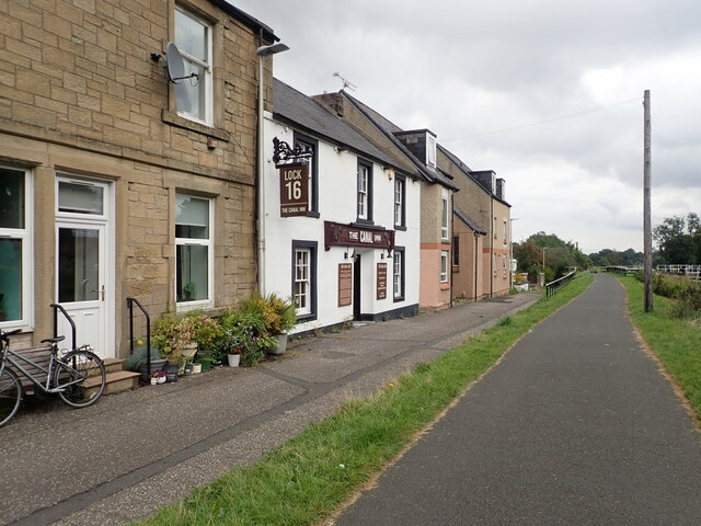
Despite its small size, Arnothill offers its residents a range of amenities. The village has a primary school, providing education for local children, and a community center that hosts various events and activities throughout the year. There are also a few shops and businesses catering to the needs of the residents.
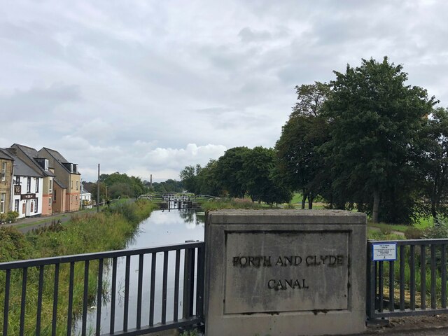
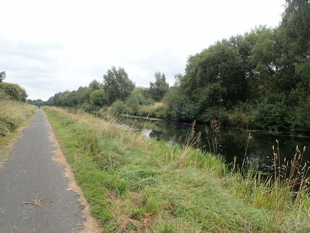
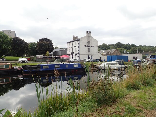
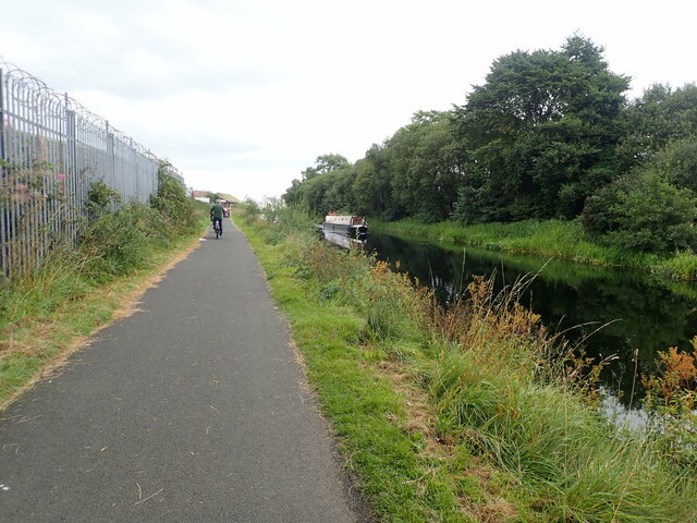
Nature enthusiasts can enjoy the scenic beauty of Arnothill, as the village is surrounded by picturesque countryside and green spaces. The nearby Ochil Hills offer opportunities for hiking, cycling, and wildlife spotting. Additionally, the River Forth provides a tranquil setting for leisurely walks and fishing.
In conclusion, Arnothill is a charming village with a fascinating history and stunning natural surroundings. Whether it's exploring the ancient ruins, enjoying outdoor activities, or simply appreciating the peaceful environment, Arnothill offers something for everyone.
If you have any feedback on the listing, please let us know in the comments section below.
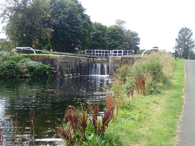
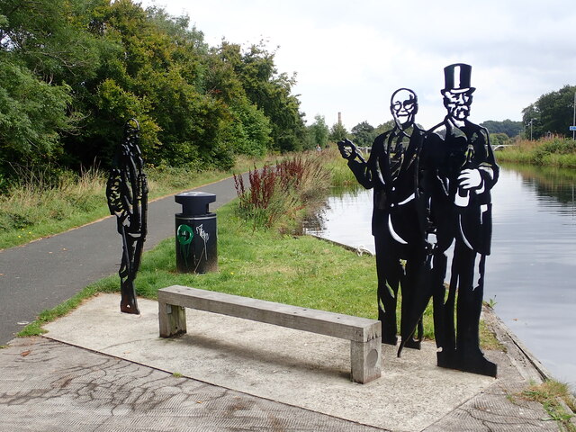
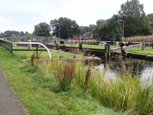
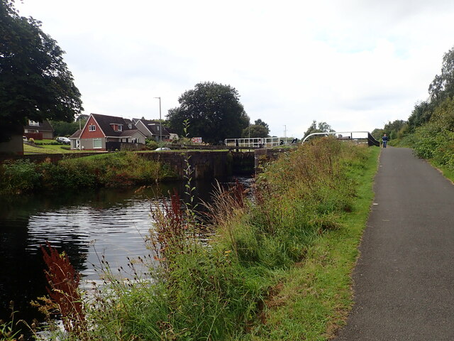
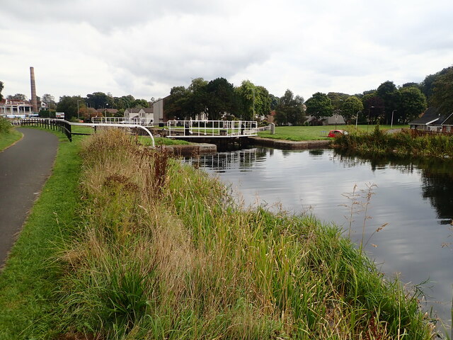
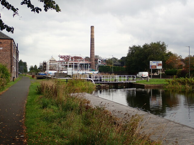
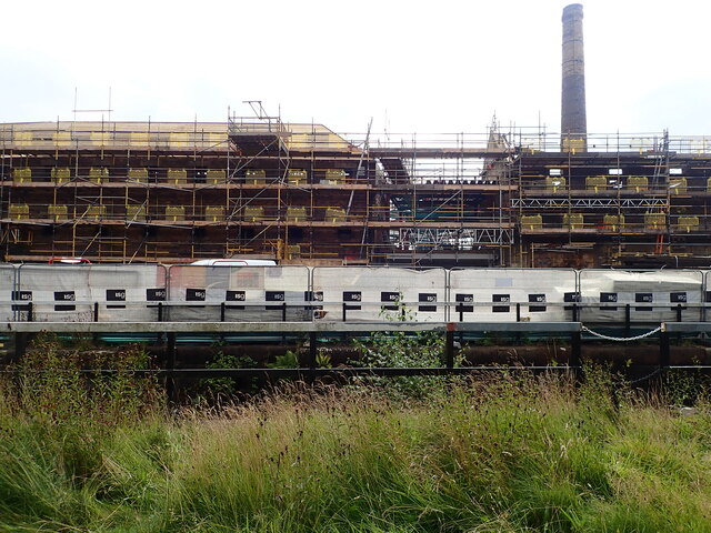
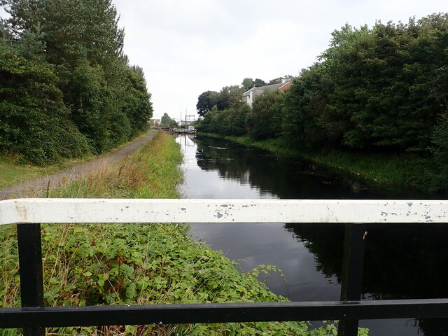
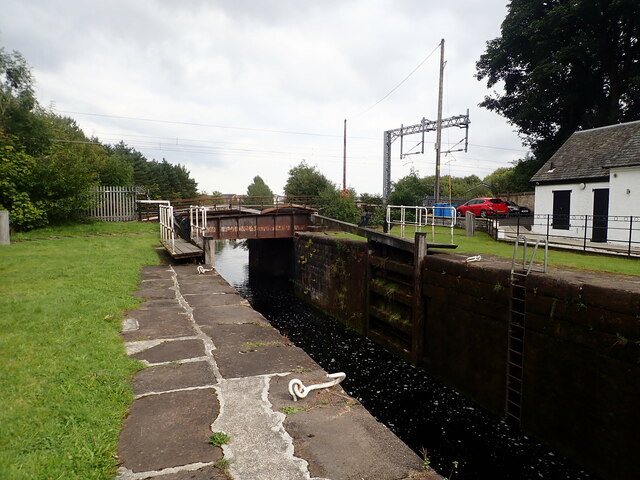
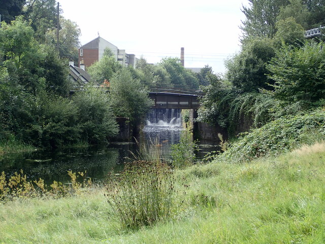
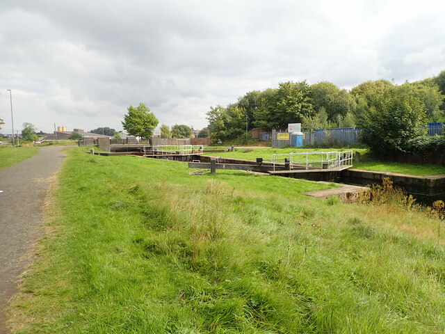
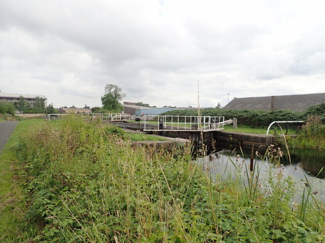
Arnothill Images
Images are sourced within 2km of 55.99854/-3.793384 or Grid Reference NS8879. Thanks to Geograph Open Source API. All images are credited.
Arnothill is located at Grid Ref: NS8879 (Lat: 55.99854, Lng: -3.793384)
Unitary Authority: Falkirk
Police Authority: Forth Valley
What 3 Words
///slices.fortnight.sparkles. Near Falkirk
Related Wikis

Falkirk Community Hospital
Falkirk Community Hospital is a community hospital in Falkirk, Scotland. It is managed by NHS Forth Valley. == History == The hospital has its origins...

Woodlands, Falkirk
Woodlands is a large, prosperous central area (ward) of Falkirk, Stirlingshire, Scotland, which is mainly residential. Much of the ward is taken up by...
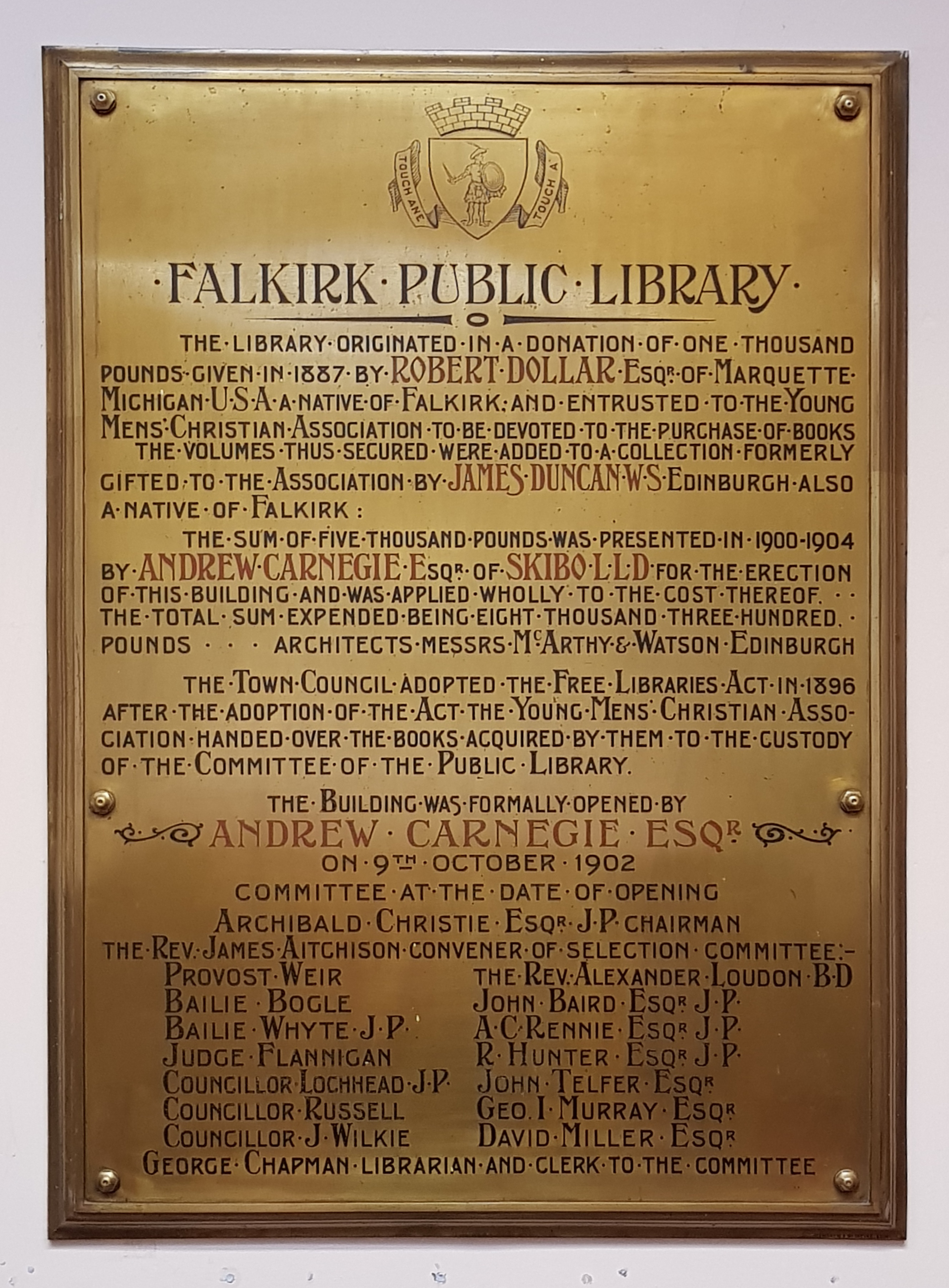
Falkirk Public Library
Falkirk Public Library is a public library in Falkirk, Scotland. It is administered by Falkirk Community Trust. Local author Alan Bissett credits the library...

Falkirk Old Parish Church
Falkirk Old & St. Modan's Parish Church, also known as "Falkirk Trinity Church", is a congregation of the Church of Scotland in Falkirk, central Scotland...

Falkirk Steeple
The Falkirk Steeple is a landmark which dominates the skyline of Falkirk in central Scotland. The present structure on the High Street was built in 1814...

St Andrew's West
St. Andrew's West Parish Church is the largest church in Falkirk, Scotland, founded in 1843 and situated in the town centre on Upper Newmarket Street and...

Brockville Park
Brockville Park was a football stadium located on Hope Street in Falkirk, Scotland, 0.25 miles (0.4 km) north-west of the town centre. It was the home...

Falkirk Grahamston railway station
Falkirk Grahamston railway station is one of two railway stations serving the town of Falkirk in Scotland. It is located on the Edinburgh to Dunblane Line...
Nearby Amenities
Located within 500m of 55.99854,-3.793384Have you been to Arnothill?
Leave your review of Arnothill below (or comments, questions and feedback).