Woodlands
Settlement in Stirlingshire
Scotland
Woodlands
Woodlands is a small village located in the county of Stirlingshire, Scotland. Situated approximately 7 miles east of the city of Stirling, Woodlands is known for its picturesque countryside and tranquil surroundings.
The village is home to a population of around 500 residents, creating a close-knit community atmosphere. The architecture in Woodlands is predominantly traditional, with charming cottages and stone houses dotting the landscape. The village is surrounded by rolling hills, lush green fields, and dense woodlands, providing residents with plenty of opportunities for outdoor activities such as hiking, cycling, and nature walks.
Woodlands is well-connected to neighboring towns and cities by both road and rail. The nearby city of Stirling offers a range of amenities, including shopping centers, restaurants, and leisure facilities. The village also benefits from easy access to the M9 motorway, making it convenient for those commuting to Edinburgh or Glasgow.
In terms of education, Woodlands has a primary school located within the village, ensuring a convenient and safe learning environment for local children. For secondary education, students typically travel to nearby Stirling or other surrounding towns.
While Woodlands may be a small village, it offers a peaceful and idyllic lifestyle for its residents. Its beautiful natural surroundings, strong sense of community, and convenient location make it an attractive place to live for those seeking a quieter way of life within easy reach of urban amenities.
If you have any feedback on the listing, please let us know in the comments section below.
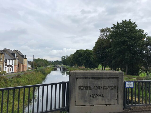
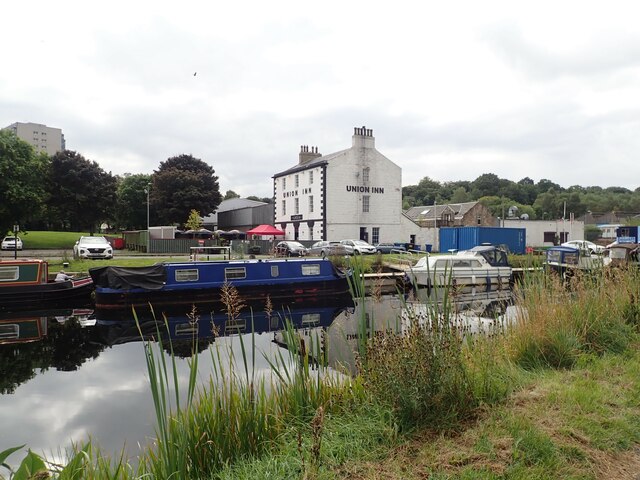
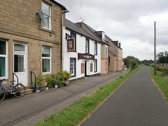
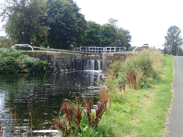
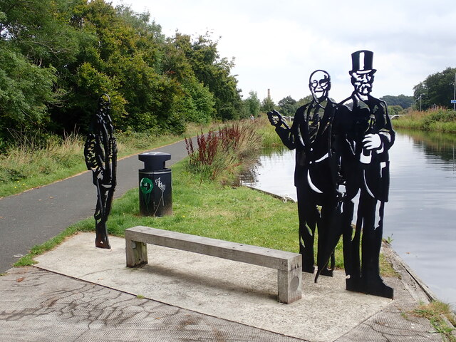
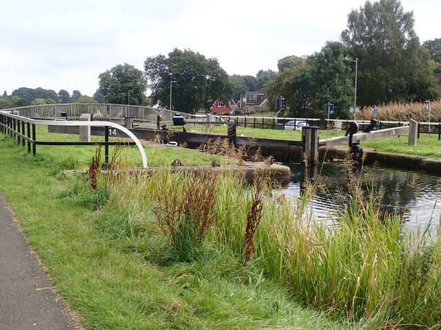
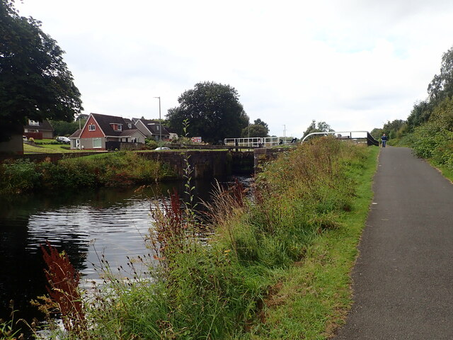
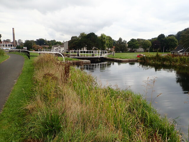
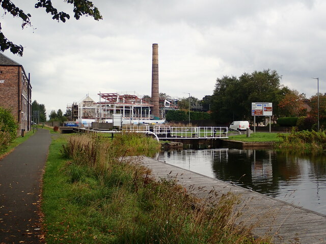
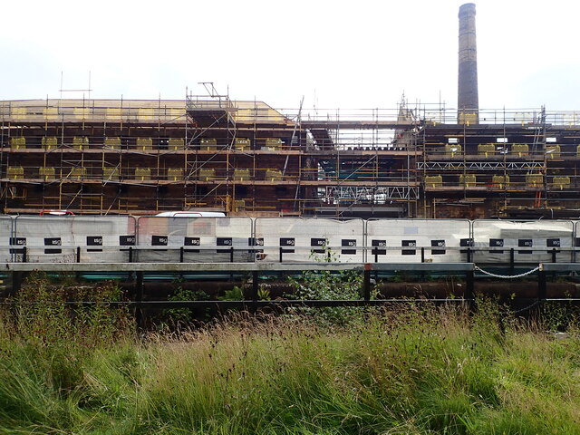
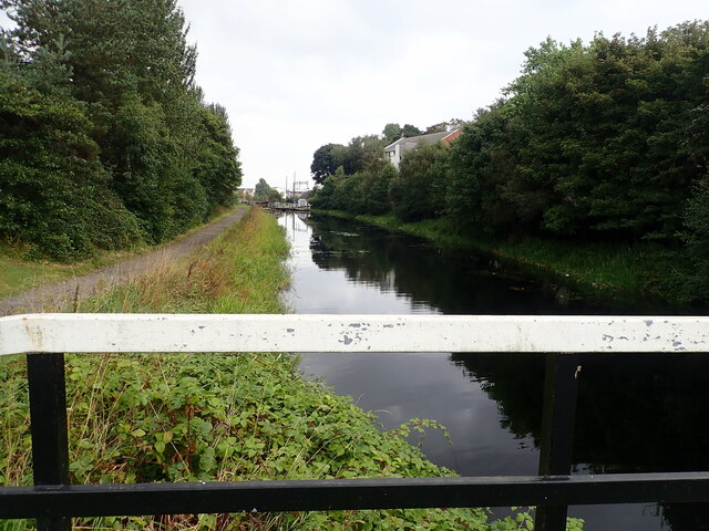
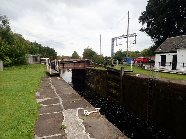
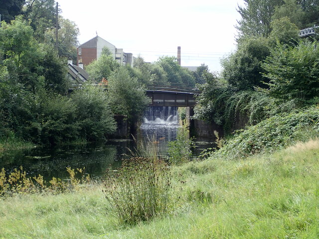
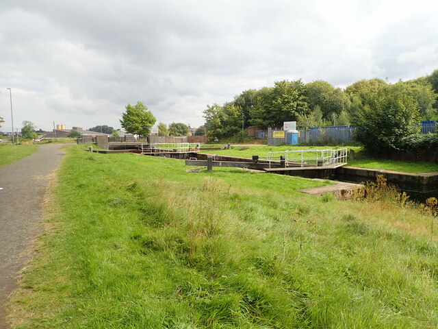
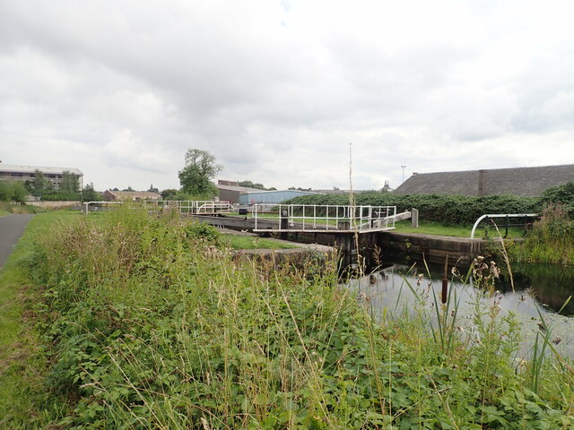
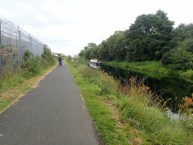
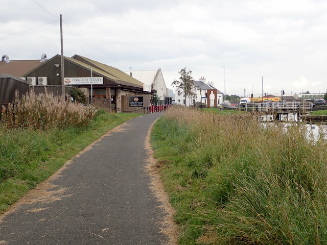
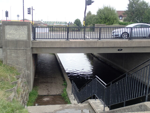
Woodlands Images
Images are sourced within 2km of 55.997392/-3.7911553 or Grid Reference NS8879. Thanks to Geograph Open Source API. All images are credited.
Woodlands is located at Grid Ref: NS8879 (Lat: 55.997392, Lng: -3.7911553)
Unitary Authority: Falkirk
Police Authority: Forth Valley
What 3 Words
///race.sock.port. Near Falkirk
Related Wikis

Falkirk Community Hospital
Falkirk Community Hospital is a community hospital in Falkirk, Scotland. It is managed by NHS Forth Valley. == History == The hospital has its origins...

Woodlands, Falkirk
Woodlands is a large, prosperous central area (ward) of Falkirk, Stirlingshire, Scotland, which is mainly residential. Much of the ward is taken up by...

Falkirk Steeple
The Falkirk Steeple is a landmark which dominates the skyline of Falkirk in central Scotland. The present structure on the High Street was built in 1814...

Falkirk Old Parish Church
Falkirk Old & St. Modan's Parish Church, also known as "Falkirk Trinity Church", is a congregation of the Church of Scotland in Falkirk, central Scotland...

St Andrew's West
St. Andrew's West Parish Church is the largest church in Falkirk, Scotland, founded in 1843 and situated in the town centre on Upper Newmarket Street and...
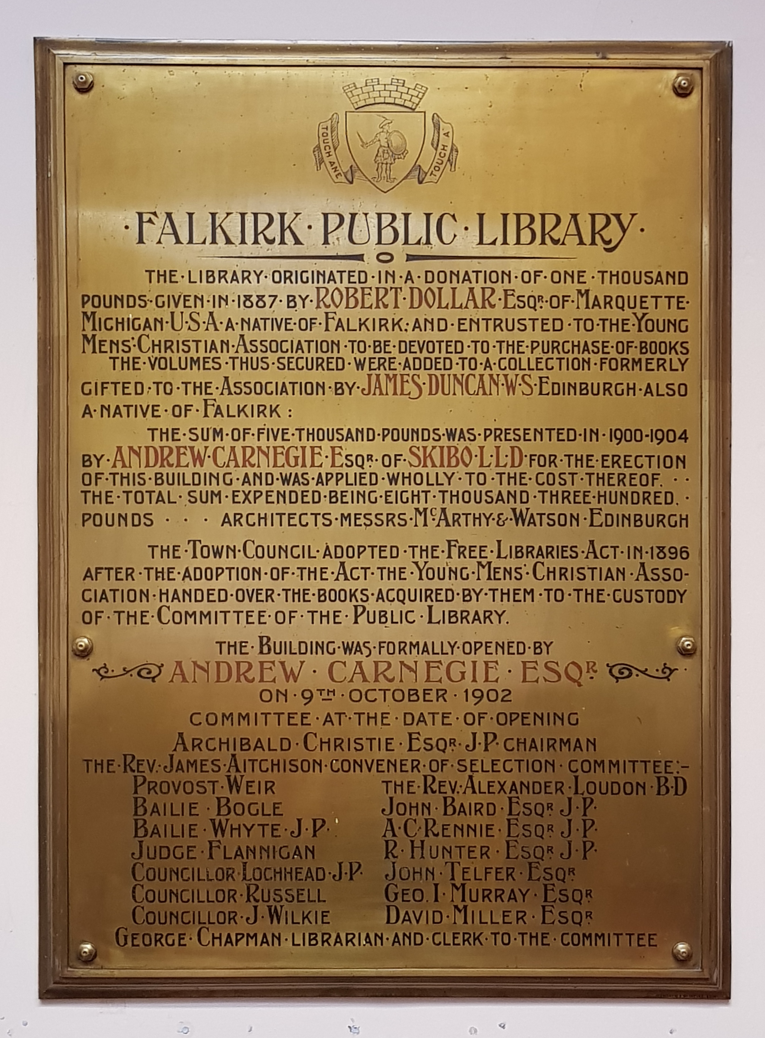
Falkirk Public Library
Falkirk Public Library is a public library in Falkirk, Scotland. It is administered by Falkirk Community Trust. Local author Alan Bissett credits the library...

Falkirk
Falkirk ( Scottish Gaelic: An Eaglais Bhreac, Scots: Fawkirk [ˈfɔːkɪrk]) is a town in the Central Lowlands of Scotland, historically within the county...
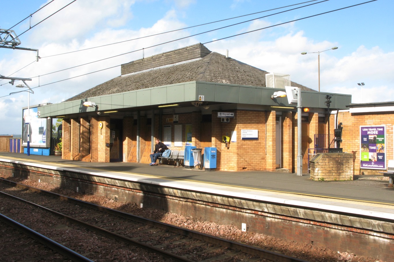
Falkirk High railway station
Falkirk High railway station is one of two railway stations serving the town of Falkirk in Scotland. It is on the Glasgow to Edinburgh via Falkirk Line...
Nearby Amenities
Located within 500m of 55.997392,-3.7911553Have you been to Woodlands?
Leave your review of Woodlands below (or comments, questions and feedback).