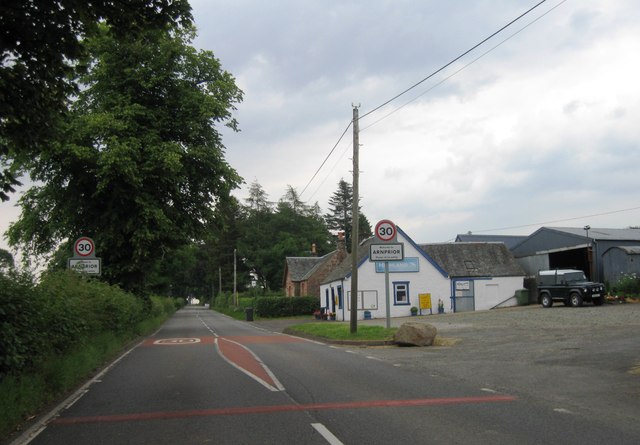
Arnprior

Settlement in Perthshire

Scotland

Arnprior

Track, Backside of Garden An area of scattered woodland beside the former Forth and Clyde railway.
Track, Backside of Garden Credit: Richard Webb

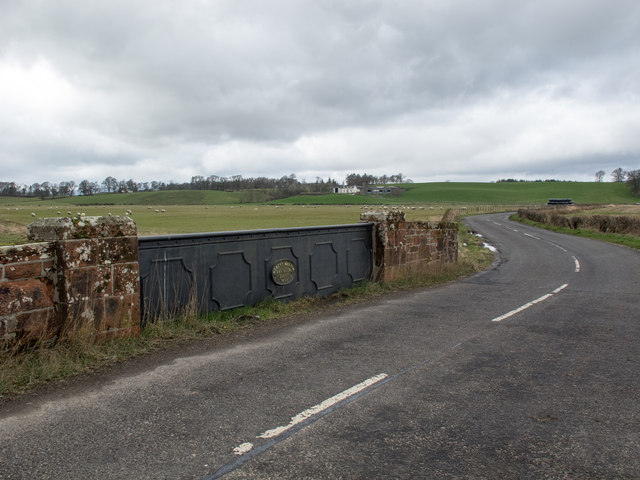
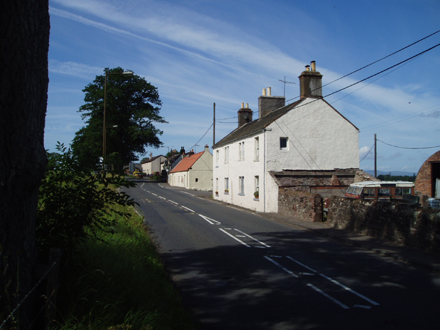
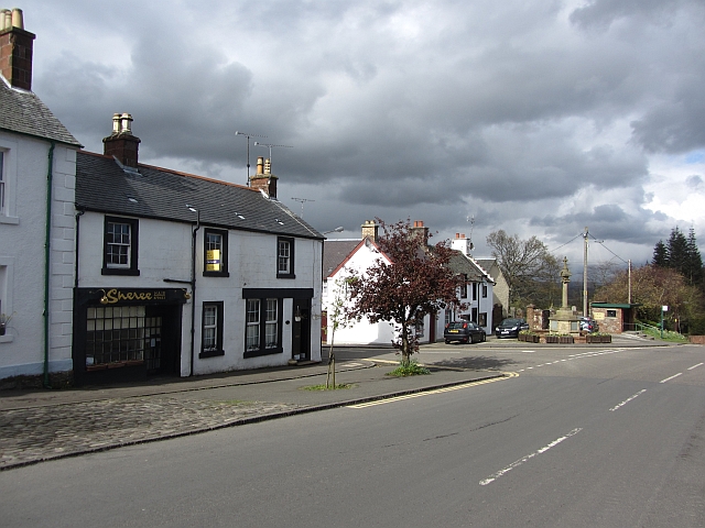
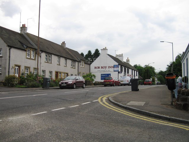
Arnprior is a charming village located in the county of Perthshire, Scotland. Situated near the banks of the River Forth, it is nestled amidst picturesque countryside, offering residents and visitors stunning views of rolling hills and lush greenery. Arnprior is part of the larger rural community of Kippen, and together they form a tranquil haven away from the bustling city life.

The village of Arnprior is known for its rich history, with evidence of human habitation in the area dating back centuries. The Arnprior Tower, a prominent local landmark, stands as a testament to the village's past. This 16th-century tower house has been well-preserved and offers a glimpse into the region's architectural heritage.

Nature enthusiasts will find themselves in their element in Arnprior, as the surrounding area boasts numerous walking trails and opportunities for outdoor activities. The nearby Loch Lomond and The Trossachs National Park provide ample opportunities for hiking, cycling, and wildlife spotting.

Despite its small size, Arnprior is a close-knit community that offers essential amenities for its residents. The village is home to a primary school, ensuring that local children have access to quality education. Additionally, there are a few local businesses, such as pubs and shops, that cater to the needs of the community.

Overall, Arnprior, Perthshire, offers a tranquil and picturesque setting where residents and visitors can appreciate the beauty of the Scottish countryside while immersing themselves in a rich historical and cultural heritage.

If you have any feedback on the listing, please let us know in the comments section below.
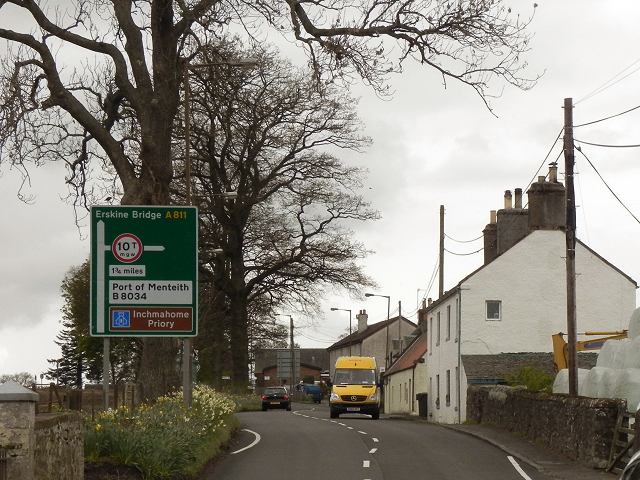
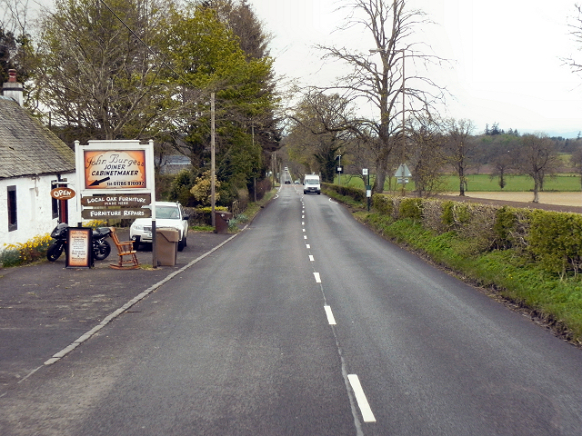
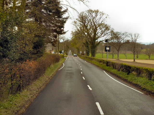
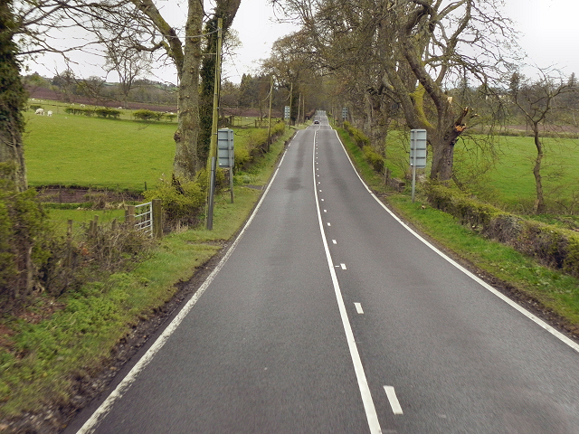
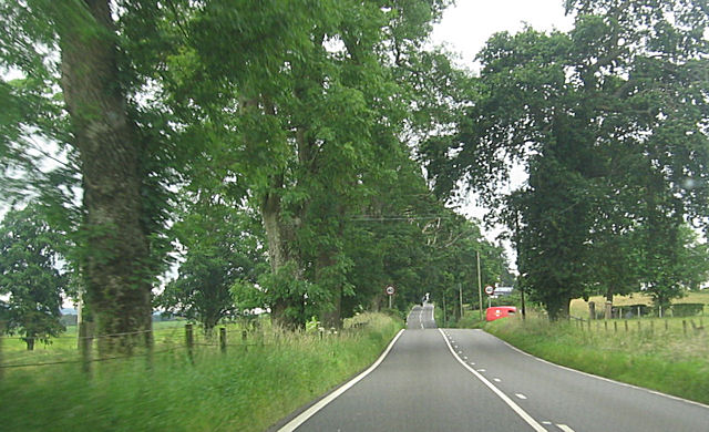
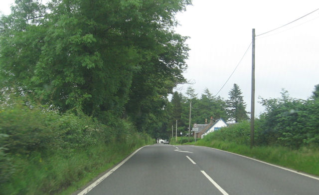
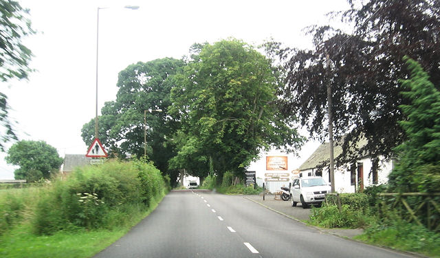
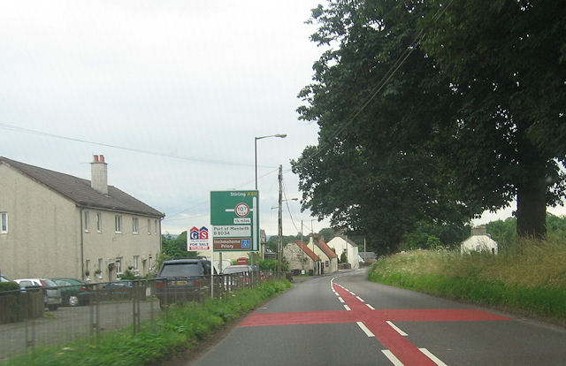
Arnprior Images

Images are sourced within 2km of 56.12675/-4.233767 or Grid Reference NS6194. Thanks to Geograph Open Source API. All images are credited.

Track, Backside of Garden An area of scattered woodland beside the former Forth and Clyde railway.
Track, Backside of Garden
An area of scattered woodland beside the former Forth and Clyde railway.
Woodland, Backhill of Garden Scattered trees next to a small spruce wood.  A track runs in from the site of Port of Menteith Station.
Woodland, Backhill of Garden
Scattered trees next to a small spruce wood. A track runs in from the site of Port of Menteith Station.
Ladylands Farm buildings on the edge of Flanders Moss - a vast bog, much of which was cleared away revealing good agricultural land.
Ladylands
Farm buildings on the edge of Flanders Moss - a vast bog, much of which was cleared away revealing good agricultural land.
Arnprior Entering the village of Arnprior on the A811 from Stirling.
Arnprior
Entering the village of Arnprior on the A811 from Stirling.
Arnprior The Old Military Road (A811) passing through the village/hamlet of Arnprior.
Arnprior
The Old Military Road (A811) passing through the village/hamlet of Arnprior.
Old Military Road, Arnprior
Old Military Road (A811) A very straight road. Not built by the Romans, but by the English army in the eighteenth century. Part of a network of roads built to enable the army to move about rapidly in response to the Jacobite Uprisings.

More information at <span class="nowrap"><a title="http://www.oldroadsofscotland.com/military_roads.htm" rel="nofollow ugc noopener" href="http://www.oldroadsofscotland.com/military_roads.htm">Link</a><img style="margin-left:2px;" alt="External link" title="External link - shift click to open in new window" src="https://s1.geograph.org.uk/img/external.png" width="10" height="10"/></span> - The Military Roads of Scotland
Old Military Road (A811)
A very straight road. Not built by the Romans, but by the English army in the eighteenth century. Part of a network of roads built to enable the army to move about rapidly in response to the Jacobite Uprisings. More information at LinkExternal link - The Military Roads of Scotland
A811, Old Military Road This long, straight road wasn't built by the Romans (their network of roads didn't extend into Scotland). It was part of a network of roads built by the English military in the 1700s to enable the army to move about rapidly in response to Jacobite uprisings.

More information at <span class="nowrap"><a title="http://www.oldroadsofscotland.com/military_roads.htm" rel="nofollow ugc noopener" href="http://www.oldroadsofscotland.com/military_roads.htm">Link</a><img style="margin-left:2px;" alt="External link" title="External link - shift click to open in new window" src="https://s1.geograph.org.uk/img/external.png" width="10" height="10"/></span> - The Military Roads of Scotland
A811, Old Military Road
This long, straight road wasn't built by the Romans (their network of roads didn't extend into Scotland). It was part of a network of roads built by the English military in the 1700s to enable the army to move about rapidly in response to Jacobite uprisings. More information at LinkExternal link - The Military Roads of Scotland
A811 eastbound approaching Arngibbon track Red post office van entering Arngibbon track
A811 eastbound approaching Arngibbon track
Red post office van entering Arngibbon track
A811 entering Arnprior Highland garage on the right
A811 entering Arnprior
Highland garage on the right
Furniture makers in Arnprior From A811
Furniture makers in Arnprior
From A811
Road junction in Arnprior From eastbound A811
Road junction in Arnprior
From eastbound A811
A811 leaving Arnprior Derestriction signs ahead
A811 leaving Arnprior
Derestriction signs ahead
A811 approaching Kippen turning Green road sign ahead
A811 approaching Kippen turning
Green road sign ahead
B8037 Kippen turning Off A811
B8037 Kippen turning
Off A811
Bridge over the Arngibbon Burn This cast-iron bridge bears an oval plaque with the legend 'Robert Melvin, Engineer, Alloa, 1898' and crosses the small burn on the B8034 road. A bridge with the same plaque legend is situated at Polmont railway station. See <a title="https://www.geograph.org.uk/photo/3707815" href="https://www.geograph.org.uk/photo/3707815">Link</a>
Bridge over the Arngibbon Burn
This cast-iron bridge bears an oval plaque with the legend 'Robert Melvin, Engineer, Alloa, 1898' and crosses the small burn on the B8034 road. A bridge with the same plaque legend is situated at Polmont railway station. See Link
A811 westbound
A811 westbound
Entrance to Arnprior
Show me another place!

Arnprior is located at Grid Ref: NS6194 (Lat: 56.12675, Lng: -4.233767)

Unitary Authority: Stirling

Police Authority: Forth Valley

What 3 Words

///support.aquatic.regal. Near Kippen, Stirling

Nearby Locations

Arnprior Glen Arnprior

Related Wikis

A811 road

The A811 is a road in central Scotland. It runs from Stirling to Balloch. == Route == The road starts off in the centre of Stirling, at the Craigs Roundabout...

Arnprior, Stirling

Arnprior is a hamlet in the Stirling council area of Scotland on the A811 about 12 miles west of Stirling and is one of the smallest community council...

Port of Menteith railway station

Port of Menteith railway station served the village of Port of Menteith, Stirling, Scotland, from 1856 by 1934 on the Forth and Clyde Junction Railway...

Ladylands Platform railway station

Ladylands Platform railway station co-served the village of Kippen, Stirling, Scotland, from 1861 to 1934 on the Forth and Clyde Junction Railway. ��2...

Fairfield Siding railway station

Fairfield Siding railway station co-served the village of Kippen, Stirling, Scotland, from 1861 to 1866 on the Forth and Clyde Junction Railway. ��2�...

Kippen

Kippen is a village in west Stirlingshire, Scotland. It lies between the Gargunnock Hills and the Fintry Hills and overlooks the Carse of Forth to the...

Buchlyvie

Buchlyvie is a village in the Stirling council area of Scotland. It is situated 14 miles (23 km) west of Stirling and 18 miles (29 km) north of Glasgow...

Flanders Moss

Flanders Moss (Scottish Gaelic: A’ Mhòine Fhlànrasach) is an area of raised bog lying in the Carse of Forth in west Stirlingshire, Scotland. The villages...

Nearby Amenities

Located within 500m of 56.12675,-4.233767
Arnprior
Name En: Arnprior
Name Gd: Earrann a' Phriair
Place: village
Population: 187
Wikidata: Q697288
Wikipedia: en:Arnprior, Stirling
Lat/Long: 56.1266247/-4.2349525
Steven Burgess Fine Furniture
Shop: furniture
Lat/Long: 56.1253888/-4.2374764
Post Box
Operator: Royal Mail
Post Box Type: wall
Royal Cypher: GR
Royal Cypher Wikidata: Q33102273
Source: mapillary
Lat/Long: 56.1266665/-4.2339546
Bus Stop
Arnprior Post Office
Bench: yes
Bus: yes
Departures Board: timetable
Naptan AtcoCode: 66005150004
Naptan NaptanCode: 78424284
Operator: First
Public Transport: platform
Ref: 78424284
Shelter: yes
Lat/Long: 56.1267035/-4.2334721
Bus Stop
Arnprior Post Office
Bus: yes
Departures Board: timetable
Public Transport: platform
Ref: 78424283
Lat/Long: 56.1265556/-4.2343198
Bus Stop
Arnfinlay
Bus: yes
Departures Board: timetable
Operator: First
Public Transport: platform
Ref: 78424262
Lat/Long: 56.1255382/-4.2377758
Bus Stop
Highland Garage
Bus: yes
Departures Board: timetable
Operator: First
Public Transport: platform
Ref: 78424257
Lat/Long: 56.1249232/-4.2399603
Telephone
Defibrillator
Booth: K6
Covered: booth
Defibrillator Location: inside red phone box, Arnprior
Emergency: defibrillator
Man Made: telephone_box
Lat/Long: 56.1264141/-4.235017
Power: pole
Lat/Long: 56.1295702/-4.2276075
Power: pole
Lat/Long: 56.1294606/-4.2287831
Power: pole
Lat/Long: 56.1293347/-4.2300674
Power: pole
Lat/Long: 56.1292332/-4.2311342
Power: pole
Lat/Long: 56.1291377/-4.2322156
Power: pole
Lat/Long: 56.1290467/-4.2331799
Power: pole
Lat/Long: 56.1289465/-4.2341798
Power: pole
Lat/Long: 56.1288474/-4.2352612
Power: pole
Lat/Long: 56.1287471/-4.2362945
Power: pole
Lat/Long: 56.128641/-4.2373467
Power: pole
Lat/Long: 56.1285338/-4.2383821
Power: pole
Lat/Long: 56.1283064/-4.2393505
Power: pole
Lat/Long: 56.1280371/-4.2403922
Power: pole
Lat/Long: 56.128034/-4.2404049
Power: pole
Lat/Long: 56.1278016/-4.2413419
Power: pole
Lat/Long: 56.127509/-4.2393882
Power: pole
Lat/Long: 56.127052/-4.2385139
Power: pole
Lat/Long: 56.1266043/-4.2376562
Power: pole
Lat/Long: 56.1261462/-4.2367965
Power: pole
Lat/Long: 56.1290537/-4.2331799
Power: pole
Lat/Long: 56.1294839/-4.2341672
Power: pole
Lat/Long: 56.1299152/-4.2351148
Power: pole
Lat/Long: 56.1303291/-4.2360728
Power: pole
Lat/Long: 56.1305972/-4.2371375
Power: pole
Lat/Long: 56.1300061/-4.2291303
The data included in this document is from www.openstreetmap.org. The data is made available under ODbL.

Have you been to Arnprior?

Leave your review of Arnprior below (or comments, questions and feedback).