Arnside
Settlement in Westmorland South Lakeland
England
Arnside
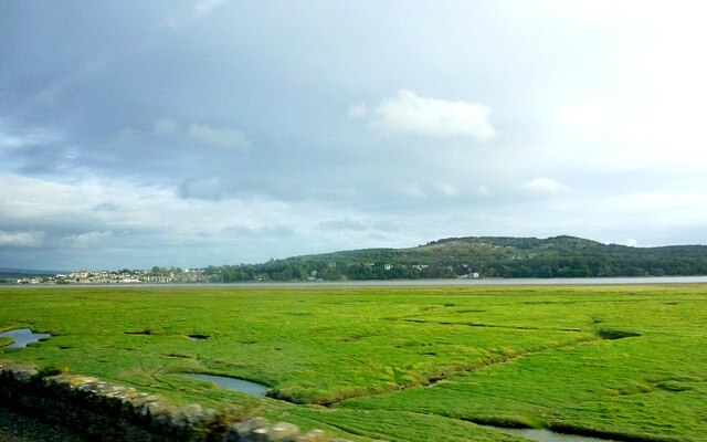
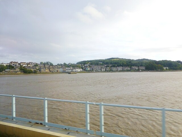
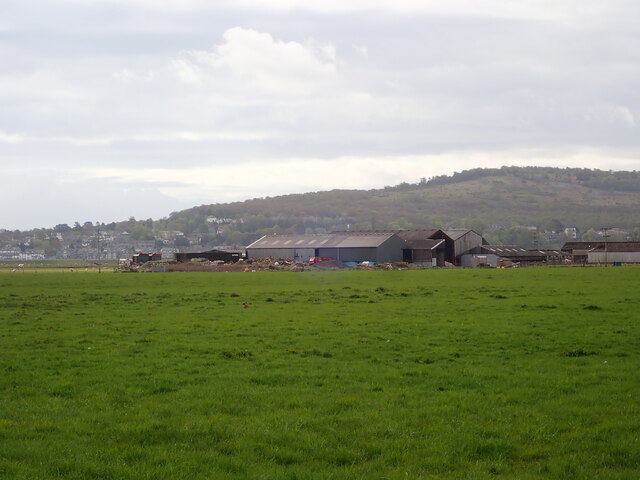
Arnside is a picturesque village located in the county of Westmorland, in the North West of England. Situated on the southern bank of the River Kent Estuary, it lies within the Arnside and Silverdale Area of Outstanding Natural Beauty. With a population of around 2,500 residents, Arnside is a small but thriving community.
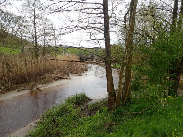
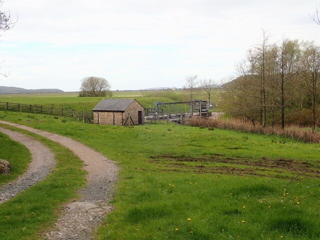
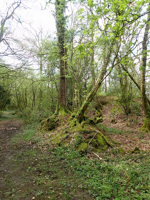
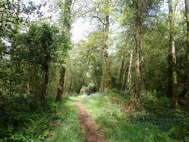
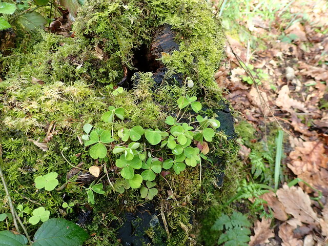
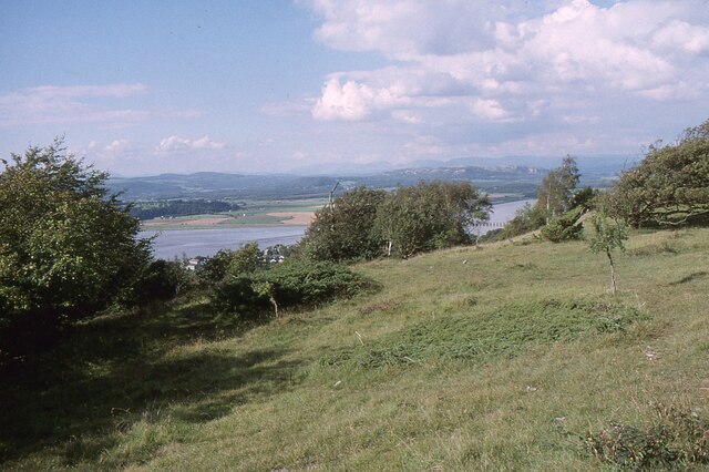
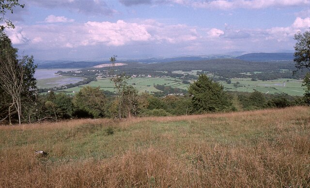
The village is known for its stunning natural surroundings, including the famous Arnside Knott, a limestone hill that offers breathtaking panoramic views of the surrounding countryside and estuary. The area is a haven for wildlife enthusiasts, with various species of birds and animals inhabiting the nearby RSPB Leighton Moss nature reserve.
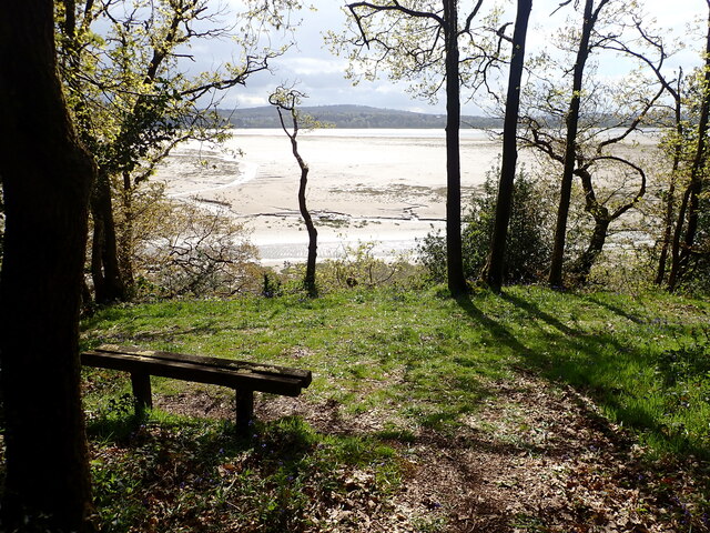
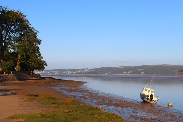
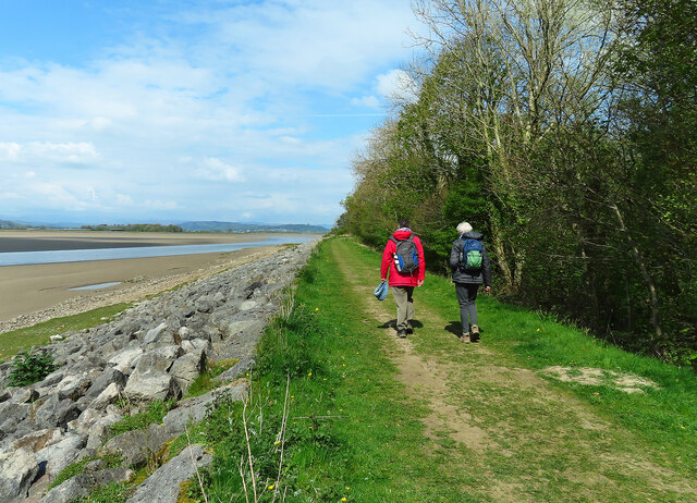
Arnside boasts a charming promenade, which is a popular spot for leisurely walks and enjoying beautiful sunsets over the estuary. The village also has a vibrant community spirit, with a range of local amenities including shops, pubs, cafes, and restaurants. There is a strong emphasis on arts and culture in Arnside, with regular events and exhibitions held at the local community center and other venues.
Transport links in Arnside are excellent, with a railway station connecting the village to nearby towns and cities such as Lancaster and Kendal. The M6 motorway is also easily accessible, providing convenient access to the wider region.
Overall, Arnside offers a unique blend of natural beauty, community spirit, and convenient amenities, making it a highly desirable place to live or visit for those seeking a peaceful and picturesque setting.
If you have any feedback on the listing, please let us know in the comments section below.
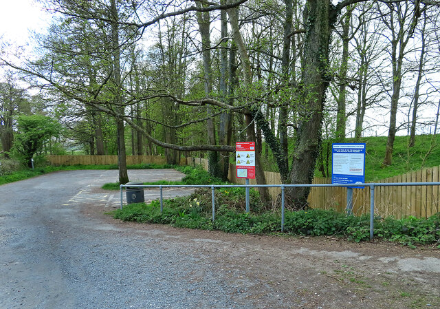
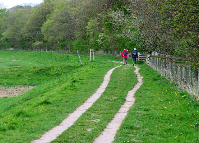
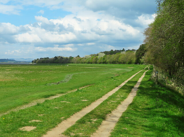
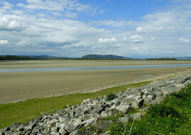
Arnside Images
Images are sourced within 2km of 54.201616/-2.835458 or Grid Reference SD4578. Thanks to Geograph Open Source API. All images are credited.

Arnside is located at Grid Ref: SD4578 (Lat: 54.201616, Lng: -2.835458)
Administrative County: Cumbria
District: South Lakeland
Police Authority: Cumbria
What 3 Words
///twit.banquets.pounds. Near Arnside, Cumbria
Nearby Locations
Related Wikis
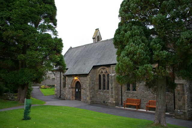
St James' Church, Arnside
St James' Church is in the village of Arnside, Cumbria, England. It is an active Anglican parish church in the deanery of Kendal, the archdeaconry of...

Arnside
Arnside is a village and civil parish in Cumbria, historically part of Westmorland, near the border with Lancashire, England. The Lake District National...
Arnside Bore
The Arnside Bore is a tidal bore on the estuary of the River Kent in England, United Kingdom.The bore occurs at high tides, especially spring tides, where...

Arnside Viaduct
Arnside Viaduct is a viaduct carrying the Lancaster to Barrow railway line over the River Kent. Construction started in 1856, finished in 1857 and expanded...

Limestone Link (Cumbria)
The Limestone Link is a waymarked footpath in South Lakeland, Cumbria, England, connecting Arnside and Kirkby Lonsdale, a distance of 13 miles (21 km)...
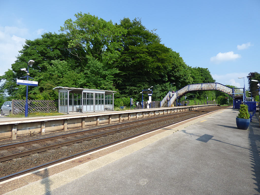
Arnside railway station
Arnside is a railway station on the Furness Line, which runs between Barrow-in-Furness and Lancaster. The station, situated 12+1⁄4 miles (20 km) north...

Arnside Knott
Arnside Knott is a hill with a summit elevation of 159 metres (522 ft), near Arnside, Cumbria, England. Although it is in South Lakeland district it is...

Carr Bank
Carr Bank is a small hamlet near Arnside, Cumbria, England. It is in the civil parish of Beetham in South Lakeland local government district. == References... ==
Nearby Amenities
Located within 500m of 54.201616,-2.835458Have you been to Arnside?
Leave your review of Arnside below (or comments, questions and feedback).