Dobshall Wood

Wood, Forest in Westmorland South Lakeland

England

Dobshall Wood

Saltmarsh on the Kent estuary Arnside Knott in background, Arnside town to the left.
Saltmarsh on the Kent estuary Credit: Raymond Knapman

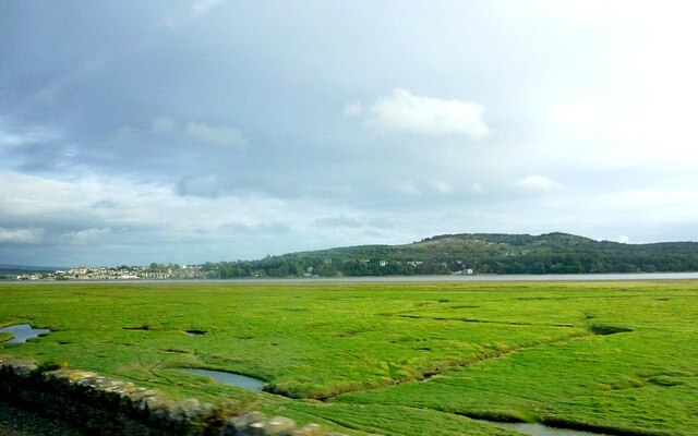
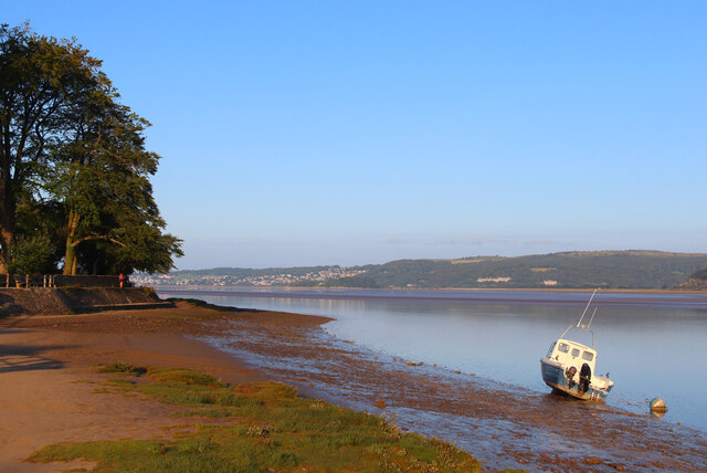
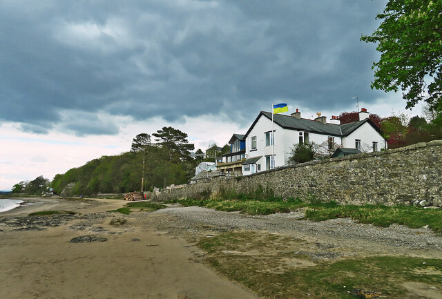
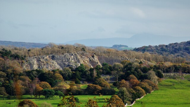
Dobshall Wood, located in the county of Westmorland, is a picturesque forest that spans over an area of approximately 100 acres. Situated in the northwestern part of England, this woodland is renowned for its natural beauty and diverse ecosystem.

The wood is predominantly composed of deciduous trees, including oak, beech, and birch, which create a vibrant and colorful landscape throughout the year. The lush greenery and dense vegetation provide a haven for a wide range of flora and fauna, making it an ideal location for nature enthusiasts and wildlife photographers.

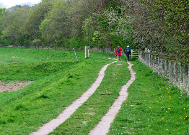
Within Dobshall Wood, there are several well-maintained walking trails, allowing visitors to explore the forest and appreciate its natural charm. These paths wind through the trees, leading to open clearings and tranquil spots where one can relax and enjoy the peaceful ambiance.

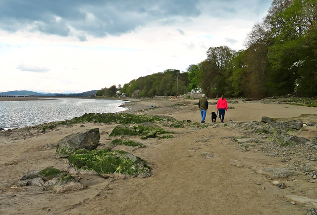
The wood is also home to various species of wildlife, including deer, foxes, badgers, and a variety of bird species. Birdwatchers flock to the area to catch a glimpse of rare and migratory birds that pass through the forest during different times of the year.

Dobshall Wood is a popular destination for outdoor activities such as hiking, picnicking, and nature walks. The forest is easily accessible, with ample parking facilities and well-marked trails. Visitors can immerse themselves in the serenity of the surroundings while taking in the fresh air and natural beauty that Dobshall Wood has to offer.

If you have any feedback on the listing, please let us know in the comments section below.

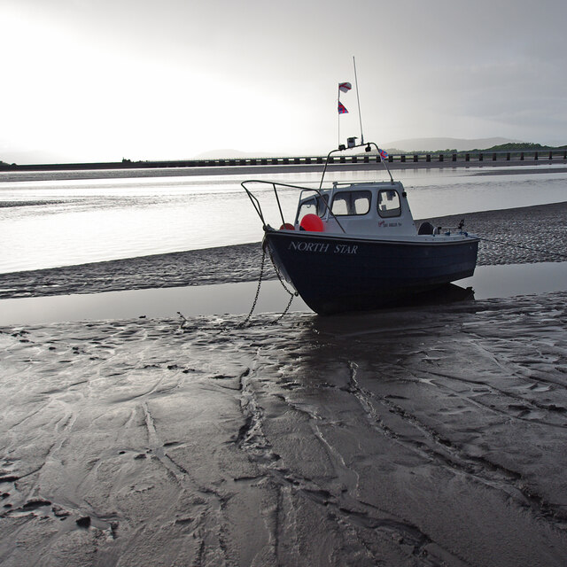
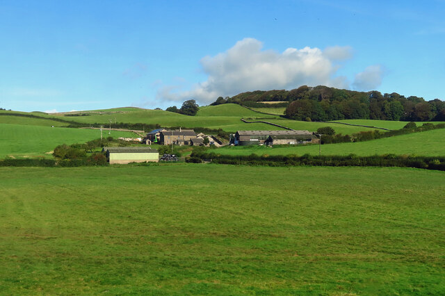
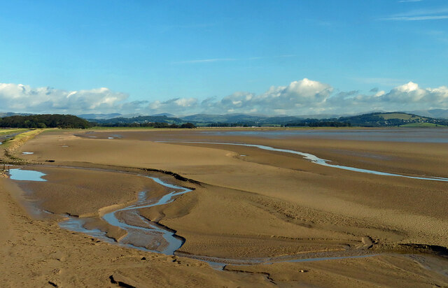
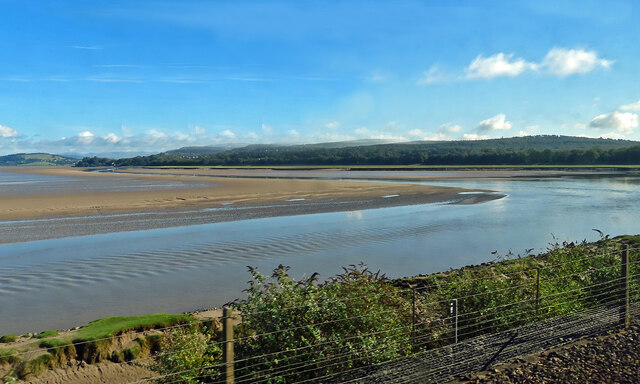
Dobshall Wood Images

Images are sourced within 2km of 54.195168/-2.8412106 or Grid Reference SD4578. Thanks to Geograph Open Source API. All images are credited.

Saltmarsh on the Kent estuary Arnside Knott in background, Arnside town to the left.
Saltmarsh on the Kent estuary
Arnside Knott in background, Arnside town to the left.
River Kent River Kent viewed from the Kent Viaduct. Arnside town in distance
River Kent
River Kent viewed from the Kent Viaduct. Arnside town in distance
The Kent Estuary near Grubbins Wood A late afternoon view of the Kent Estuary on New Year's Day 2022 after the hordes had headed back to Arnside.

This photograph was taken during the Coronavirus (COVID-19) pandemic of 2020/21/22.
The Kent Estuary near Grubbins Wood
A late afternoon view of the Kent Estuary on New Year's Day 2022 after the hordes had headed back to Arnside. This photograph was taken during the Coronavirus (COVID-19) pandemic of 2020/21/22.
Arnside Knott Looking north-northeast over the Kent Estuary. Part of the Kent Viaduct is visible behind the trees in the centre.

Arnside Knott is a National Trust property renowned for its wildlife on this important limestone outcrop.

Position within the square uncertain.
Arnside Knott
Looking north-northeast over the Kent Estuary. Part of the Kent Viaduct is visible behind the trees in the centre. Arnside Knott is a National Trust property renowned for its wildlife on this important limestone outcrop. Position within the square uncertain.
Arnside Knott Looking northeast towards Storth and Sandside Quarry.

Arnside Knott is a National Trust property renowned for its wildlife on this important limestone outcrop.

Position within the square uncertain.
Arnside Knott
Looking northeast towards Storth and Sandside Quarry. Arnside Knott is a National Trust property renowned for its wildlife on this important limestone outcrop. Position within the square uncertain.
Arnside Promenade Coast at Arnside.
Arnside Promenade
Coast at Arnside.
Walking on the Arnside–Storth embankment This is a concessionary footpath where walkers are asked to keep to the track and have all dogs on leads.
Walking on the Arnside–Storth embankment
This is a concessionary footpath where walkers are asked to keep to the track and have all dogs on leads.
Beachwood House Right down there on the foreshore of the Kent Estuary.
Beachwood House
Right down there on the foreshore of the Kent Estuary.
A quick foreshore walk The deteriorating weather discouraged walkers from going very far from Arnside on this late-April afternoon.
A quick foreshore walk
The deteriorating weather discouraged walkers from going very far from Arnside on this late-April afternoon.
Middlebarrow Quarry From Eaves Wood
Middlebarrow Quarry
From Eaves Wood
Arnside Tower View from east of the fortified house
Arnside Tower
View from east of the fortified house
Arnside Tower View from west of the fortified house
Arnside Tower
View from west of the fortified house
Kent estuary at Arnside Looking towards the railway viaduct from the pier, at low water in the evening under threatening skies.
Kent estuary at Arnside
Looking towards the railway viaduct from the pier, at low water in the evening under threatening skies.
Small boat on the mud
Sunnyside Farm Viewed from a passing train on a bright mid-September morning.
Sunnyside Farm
Viewed from a passing train on a bright mid-September morning.
Kent Estuary view A low tide view taken from a train on the Kent Viaduct on a bright mid-September morning. The estuary views are always changing with the weather and the state of the tide.
Kent Estuary view
A low tide view taken from a train on the Kent Viaduct on a bright mid-September morning. The estuary views are always changing with the weather and the state of the tide.
The Kent Estuary Looking upstream with the tide well out. This is part of Morecambe Bay.
The Kent Estuary
Looking upstream with the tide well out. This is part of Morecambe Bay.
Arnside Pier
Arnside Pier
Show me another place!

Dobshall Wood is located at Grid Ref: SD4578 (Lat: 54.195168, Lng: -2.8412106)

Administrative County: Cumbria

District: South Lakeland

Police Authority: Cumbria

What 3 Words

///pines.musically.pebbles. Near Arnside, Cumbria

Nearby Locations

Arnside Dobshall Wood

Related Wikis

Arnside Bore

The Arnside Bore is a tidal bore on the estuary of the River Kent in England, United Kingdom.The bore occurs at high tides, especially spring tides, where...
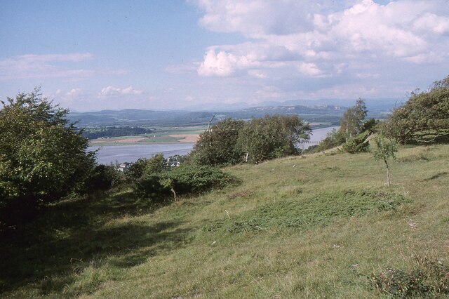
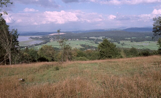
Arnside Knott

Arnside Knott is a hill with a summit elevation of 159 metres (522 ft), near Arnside, Cumbria, England. Although it is in South Lakeland district it is...
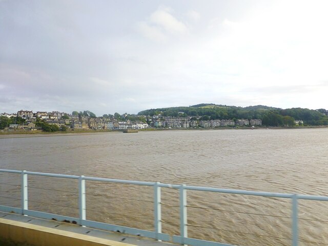
Arnside

Arnside is a village and civil parish in Cumbria, historically part of Westmorland, near the border with Lancashire, England. The Lake District National...

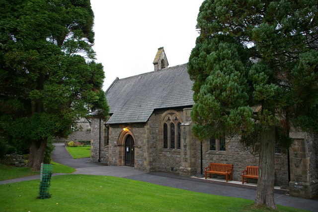
St James' Church, Arnside

St James' Church is in the village of Arnside, Cumbria, England. It is an active Anglican parish church in the deanery of Kendal, the archdeaconry of...
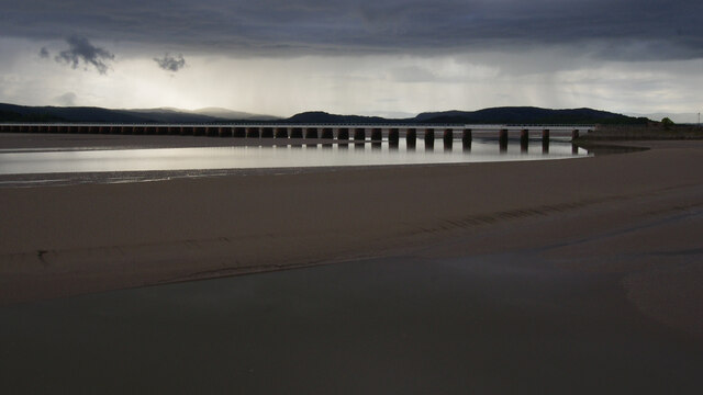
Arnside Viaduct

Arnside Viaduct is a viaduct carrying the Lancaster to Barrow railway line over the River Kent. Construction started in 1856, finished in 1857 and expanded...

Limestone Link (Cumbria)

The Limestone Link is a waymarked footpath in South Lakeland, Cumbria, England, connecting Arnside and Kirkby Lonsdale, a distance of 13 miles (21 km)...

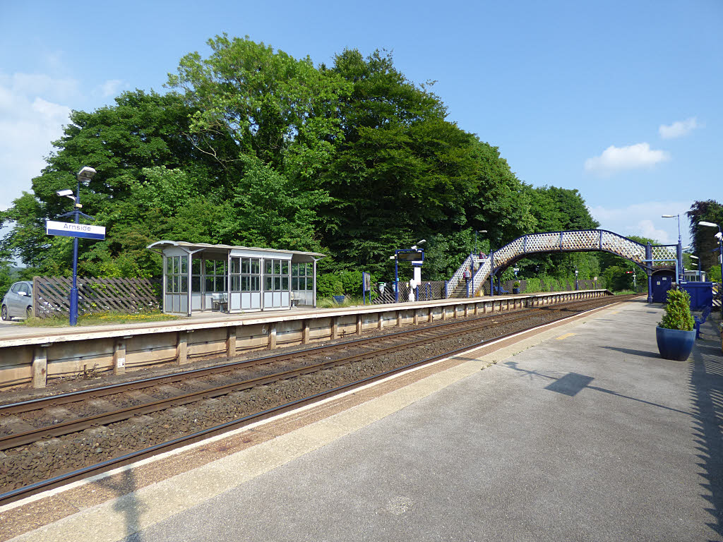
Arnside railway station

Arnside is a railway station on the Furness Line, which runs between Barrow-in-Furness and Lancaster. The station, situated 12+1⁄4 miles (20 km) north...
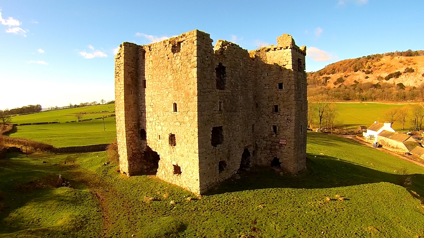
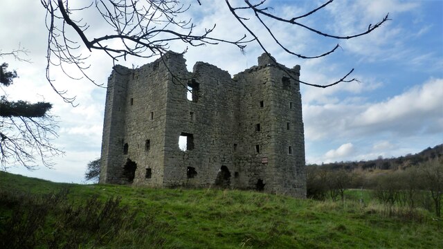
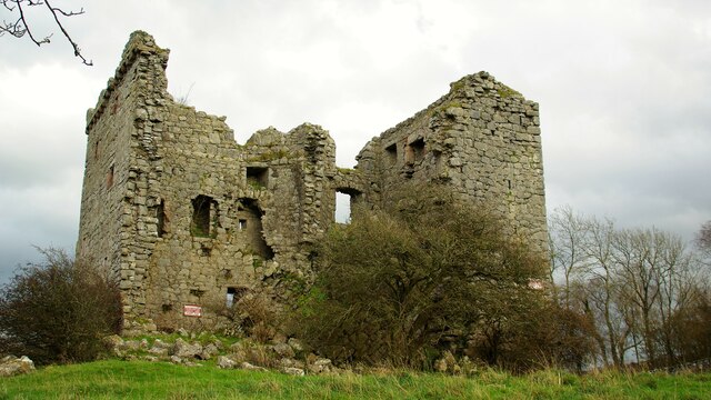
Arnside Tower

Arnside Tower is a late-medieval tower house (or Pele tower) between Arnside and Silverdale immediately to the south of Arnside Knott in Cumbria, England...

Nearby Amenities

Located within 500m of 54.195168,-2.8412106
Created By: almien_coastlines
Source: PGS
Lat/Long: 54.1995568/-2.8414214
Source: PGS
Lat/Long: 54.1992105/-2.8421105
Created By: almien_coastlines
Source: PGS
Lat/Long: 54.1989477/-2.8423589
Created By: almien_coastlines
Source: PGS
Lat/Long: 54.1986694/-2.8430514
Source: PGS
Lat/Long: 54.1982107/-2.8436533
Source: PGS
Lat/Long: 54.1979062/-2.8442372
Created By: almien_coastlines
Source: PGS
Lat/Long: 54.1977219/-2.8446896
Source: PGS
Lat/Long: 54.1974593/-2.8455902
Source: PGS
Lat/Long: 54.1971949/-2.8463959
Source: PGS
Lat/Long: 54.1970443/-2.8468766
Source: PGS
Lat/Long: 54.1969288/-2.8472027
Source: PGS
Lat/Long: 54.1967782/-2.8476748
Source: PGS
Lat/Long: 54.196733/-2.8481812
YHA Arnside
Addr City: Arnside
Addr Housename: YHA Arnside
Addr Postcode: LA5 0AT
Addr Street: Redhills Road
Operator: YHA England & Wales
Tourism: hostel
Lat/Long: 54.197922/-2.8417827
Red Hills
Is In: South Lakeland, Cumbria, England, UK
Place: locality
Source: NPE; survey
Lat/Long: 54.1924616/-2.8358759
Turning Circle
Lat/Long: 54.196905/-2.8423305
Turning Circle
Lat/Long: 54.1961445/-2.8424149
Barrier: kissing_gate
Lat/Long: 54.1943711/-2.8349322
Bench
Lat/Long: 54.1981414/-2.8354595
Information: board
Tourism: information
Lat/Long: 54.1981174/-2.8354314
Bench
Lat/Long: 54.1979643/-2.8400327
Bench
Lat/Long: 54.1973681/-2.8454561
Bench
Lat/Long: 54.1973932/-2.844748
Bench
Lat/Long: 54.1976003/-2.8426881
Bench
Backrest: yes
Lat/Long: 54.1993765/-2.8413416
Information: guidepost
Operator: Arnside Parish Council
Ref: No 5
Source: survey;gps
Tourism: information
Lat/Long: 54.1993597/-2.8413096
The Numbered Fingerposts of Westmorland
Board Type: history
Information: board
Tourism: information
Lat/Long: 54.1994435/-2.8412583
Barrier: kissing_gate
Lat/Long: 54.1928461/-2.8420468
Post Box
Collection Times: Mo-Fr 16:15; Sa 10:00
Drive Through: no
Post Box Type: wall
Ref: LA5 92
Lat/Long: 54.1945954/-2.8460728
Barrier: kissing_gate
Foot: yes
Lat/Long: 54.1949099/-2.8434943
Siren
Emergency: siren
Operator: HM Coastguard
Siren Purpose: tide
Siren Type: electronic
Lat/Long: 54.1991786/-2.8417567
The data included in this document is from www.openstreetmap.org. The data is made available under ODbL.

Have you been to Dobshall Wood?

Leave your review of Dobshall Wood below (or comments, questions and feedback).